Map of Charenton CDP
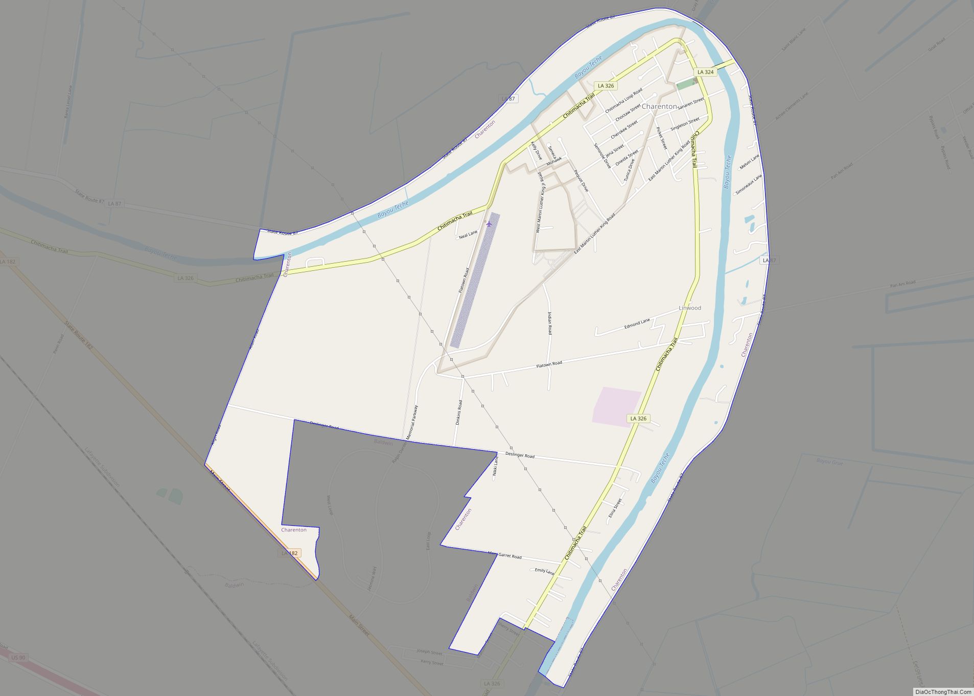
Charenton (historically French: Lieu-des-Chetimachas) is a census-designated place (CDP) in St. Mary Parish, Louisiana, United States. The population was 1,903 at the 2010 census. It is part of the Morgan City Micropolitan Statistical Area. According to legend, the community received its name from one of the earliest settlers of the region, Alexandre Frere. Frere, a ... Read more
Map of Charenton CDP
Map of Chalmette CDP
Chalmette (/ʃælˈmɛt/ shal-MET) is a census-designated place (CDP) in, and the parish seat of, St. Bernard Parish in southeastern Louisiana, United States. The 2010 census reported that Chalmette had 16,751 people; 2011 population was listed as 17,119; however, the pre-Katrina population was 32,069 at the 2000 census. At the 2020 U.S. census, its population rebounded ... Read more
Map of Chalmette CDP
Map of Chataignier village
Chataignier is a village in Evangeline Parish, Louisiana, United States. The population was 364 at the 2010 census. Chataignier village overview: Name: Chataignier village LSAD Code: 47 LSAD Description: village (suffix) State: Louisiana County: Evangeline Parish Elevation: 59 ft (18 m) Total Area: 0.63 sq mi (1.63 km²) Land Area: 0.63 sq mi (1.63 km²) Water Area: 0.00 sq mi (0.00 km²) Total Population: 259 Population ... Read more
Map of Chataignier village
Map of Cheneyville town
Cheneyville is a town in Rapides Parish, Louisiana, United States. It is part of the Alexandria, Louisiana Metropolitan Statistical Area. The population was 625 at the 2010 census. Cheneyville town overview: Name: Cheneyville town LSAD Code: 43 LSAD Description: town (suffix) State: Louisiana County: Rapides Parish Elevation: 62 ft (19 m) Total Area: 1.02 sq mi (2.63 km²) Land Area: ... Read more
Map of Cheneyville town
Map of Chauvin CDP
Chauvin is a census-designated place (CDP) in Terrebonne Parish, Louisiana, United States. The population was 2,575 in 2020.. It is part of the Houma–Bayou Cane–Thibodaux metropolitan statistical area. Chauvin CDP overview: Name: Chauvin CDP LSAD Code: 57 LSAD Description: CDP (suffix) State: Louisiana County: Terrebonne Parish Elevation: 3 ft (0.9 m) Total Area: 4.77 sq mi (12.35 km²) Land Area: ... Read more
Map of Chauvin CDP
Map of Chatham town, Louisiana
Chatham is a town in Jackson Parish, Louisiana, United States. The population was 491 in 2020. It is part of the Ruston micropolitan statistical area. Southwest of Chatham is Caney Lake and the Jimmie Davis State Park. Chatham town overview: Name: Chatham town LSAD Code: 43 LSAD Description: town (suffix) State: Louisiana County: Jackson Parish ... Read more
Map of Chatham town, Louisiana
Map of Church Point town
Church Point (French: Pointe-à-l’Église) is a town in Acadia Parish, Louisiana, United States. The population was 4,560 at the 2010 census. It is part of the Crowley Micropolitan Statistical Area. Church Point is known as the Buggy Capital of the World as it used to be host to the annual Buggy Festival which has since ... Read more
Map of Church Point town
Map of Choudrant village
Choudrant is a village in Lincoln Parish, Louisiana, United States. The population was 845 at the 2010 census. It is part of the Ruston Micropolitan Statistical Area. Choudrant village overview: Name: Choudrant village LSAD Code: 47 LSAD Description: village (suffix) State: Louisiana County: Lincoln Parish Elevation: 157 ft (48 m) Total Area: 4.28 sq mi (11.09 km²) Land Area: 4.23 sq mi ... Read more
Map of Choudrant village
Map of Choctaw CDP, Louisiana
Choctaw is an unincorporated community and census-designated place in Lafourche Parish, Louisiana, United States. Its population was 879 as of the 2010 census. Choctaw CDP overview: Name: Choctaw CDP LSAD Code: 57 LSAD Description: CDP (suffix) State: Louisiana County: Lafourche Parish Elevation: 3 ft (0.9 m) Total Area: 6.25 sq mi (16.19 km²) Land Area: 6.25 sq mi (16.19 km²) Water Area: 0.00 sq mi ... Read more
Map of Choctaw CDP, Louisiana
Map of Clarks village, Louisiana
Clarks is a rural village in Caldwell Parish, Louisiana, United States. The population was 1,017 at the 2010 census. Clarks is the largest community by population in Caldwell Parish. Clarks village overview: Name: Clarks village LSAD Code: 47 LSAD Description: village (suffix) State: Louisiana County: Caldwell Parish Elevation: 141 ft (43 m) Total Area: 0.96 sq mi (2.49 km²) Land ... Read more
Map of Clarks village, Louisiana
Map of Clarence village, Louisiana
Clarence is a village in Natchitoches Parish, Louisiana, United States. The population was 499 at the 2010 census. It is located some seven miles east of the parish seat of Natchitoches and is part of the Natchitoches Micropolitan Statistical Area. Still owned by descendants of its founders, Grayson Barbeque, with a smokehouse, is the best ... Read more
Map of Clarence village, Louisiana
Map of Claiborne CDP
Claiborne is an unincorporated community and census-designated place (CDP) in Ouachita Parish, Louisiana, United States. The population was 9,830 at the 2000 census. It is part of the Monroe Metropolitan Statistical Area. Claiborne CDP overview: Name: Claiborne CDP LSAD Code: 57 LSAD Description: CDP (suffix) State: Louisiana County: Ouachita Parish Elevation: 157 ft (48 m) Total Area: ... Read more
Map of Claiborne CDP