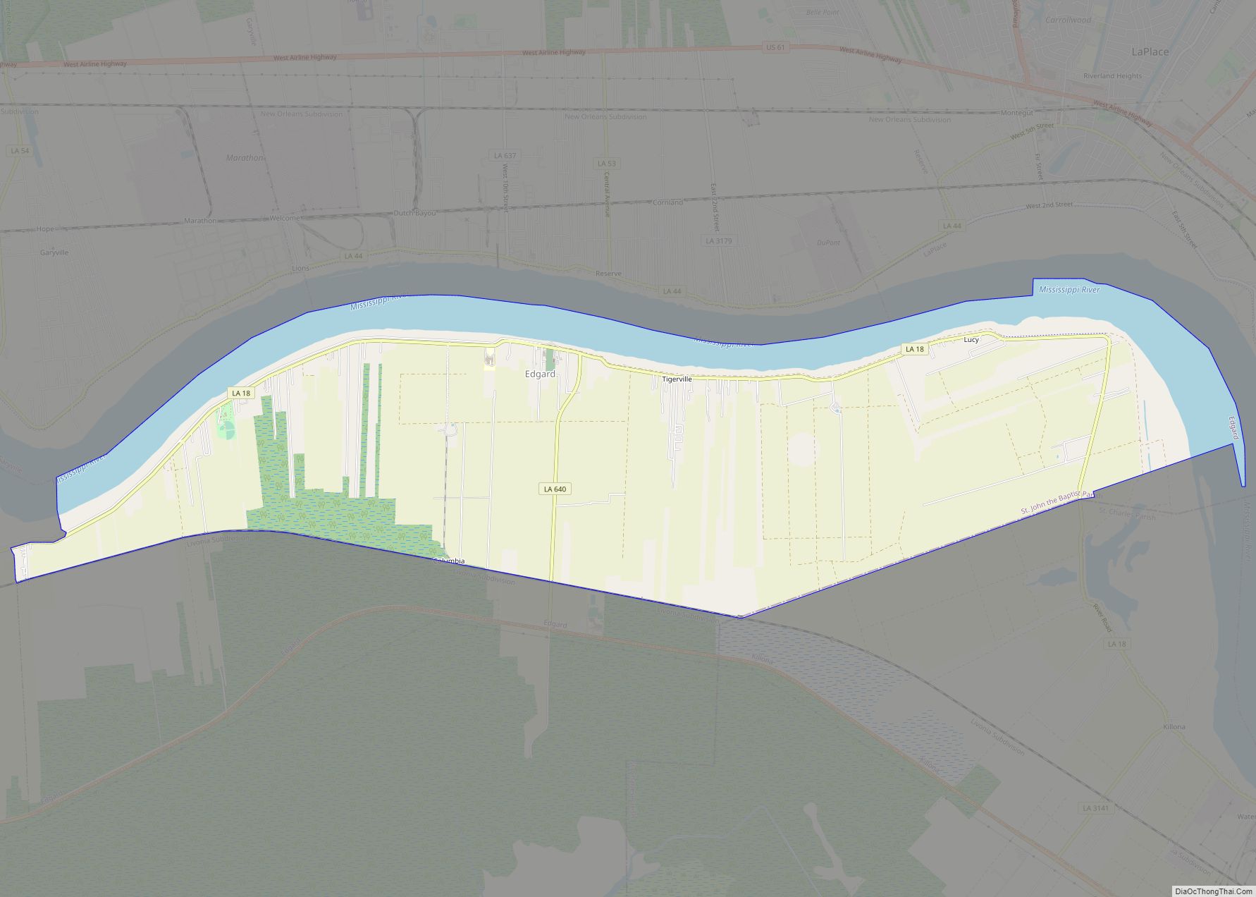
Edgard is a census-designated place (CDP) in, and the parish seat of, St. John the Baptist Parish, Louisiana, United States. The population was 2,637 at the 2000 census and 1,948 in 2020. It is part of the New Orleans–Metairie–Kenner Metropolitan Statistical Area. Edgard is part of the German Coast of Louisiana. Edgard CDP overview: Name: ... Read more
Map of US Cities and Places
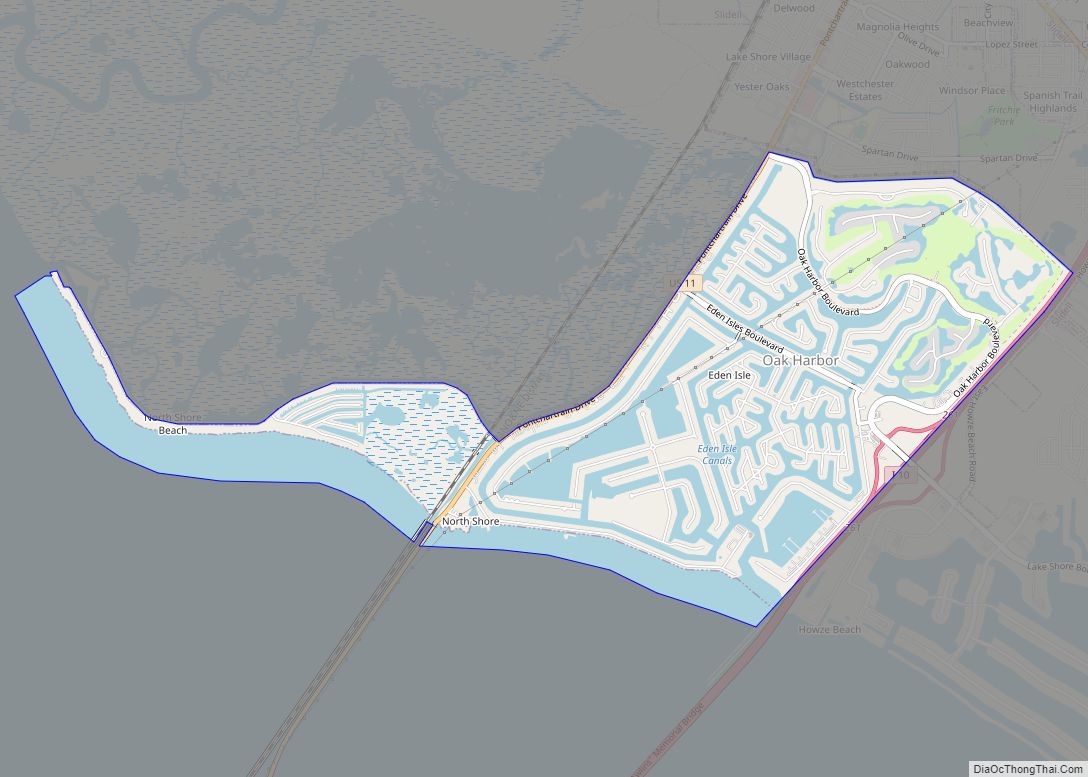
Eden Isle is a census-designated place (CDP) in St. Tammany Parish, Louisiana, United States, on the northeast shore of Lake Pontchartrain. The population was 7,041 at the 2010 census. It is part of the New Orleans–Metairie–Kenner Metropolitan Statistical Area. The area is a residential community with homes built on a system of canals connecting to ... Read more
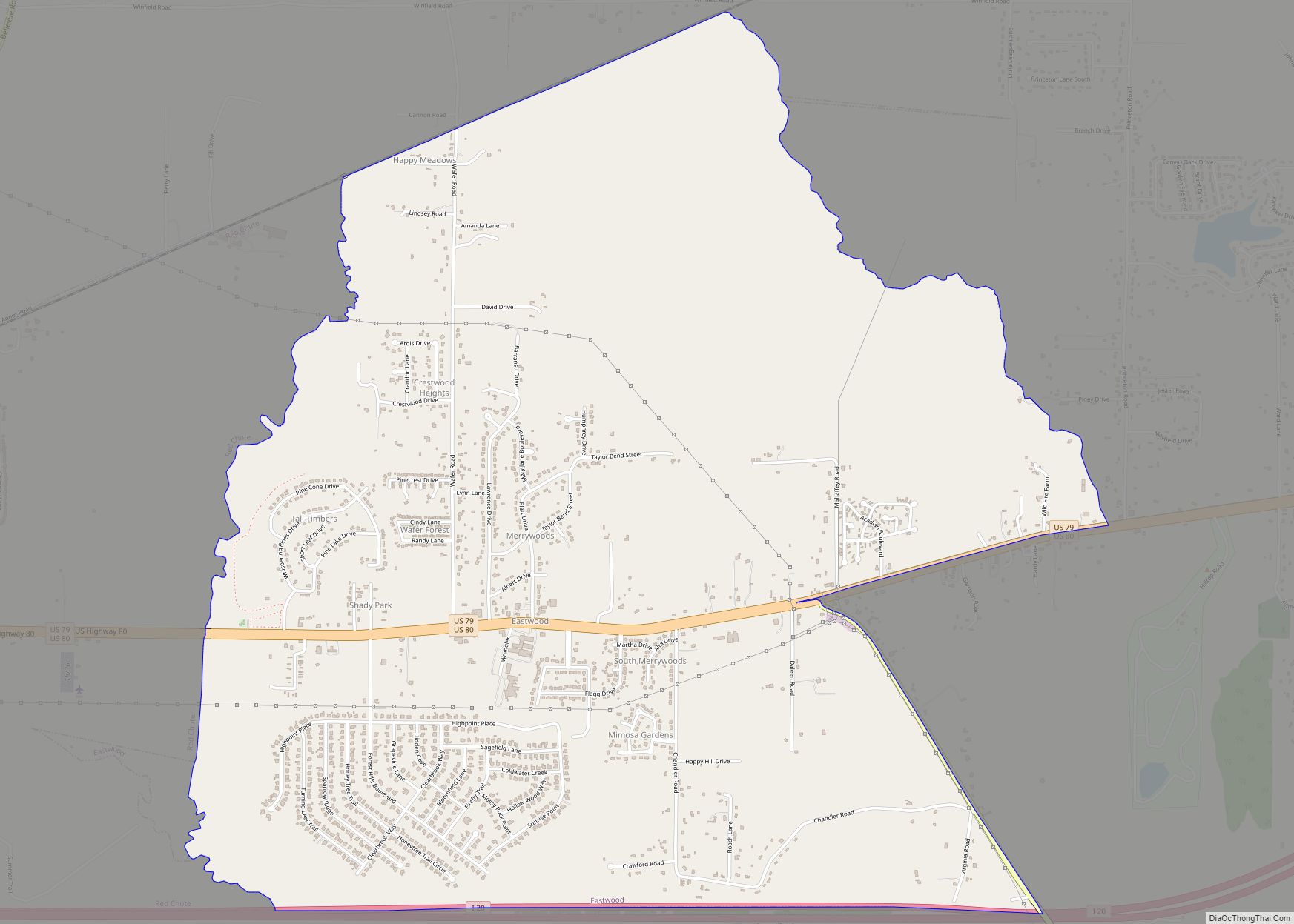
Eastwood is a census-designated place (CDP) in Bossier Parish, Louisiana, United States. The population was 4,093 at the 2010 census. It is part of the Shreveport–Bossier City Metropolitan Statistical Area. Eastwood CDP overview: Name: Eastwood CDP LSAD Code: 57 LSAD Description: CDP (suffix) State: Louisiana County: Bossier Parish Elevation: 239 ft (73 m) Total Area: 6.35 sq mi (16.44 km²) ... Read more
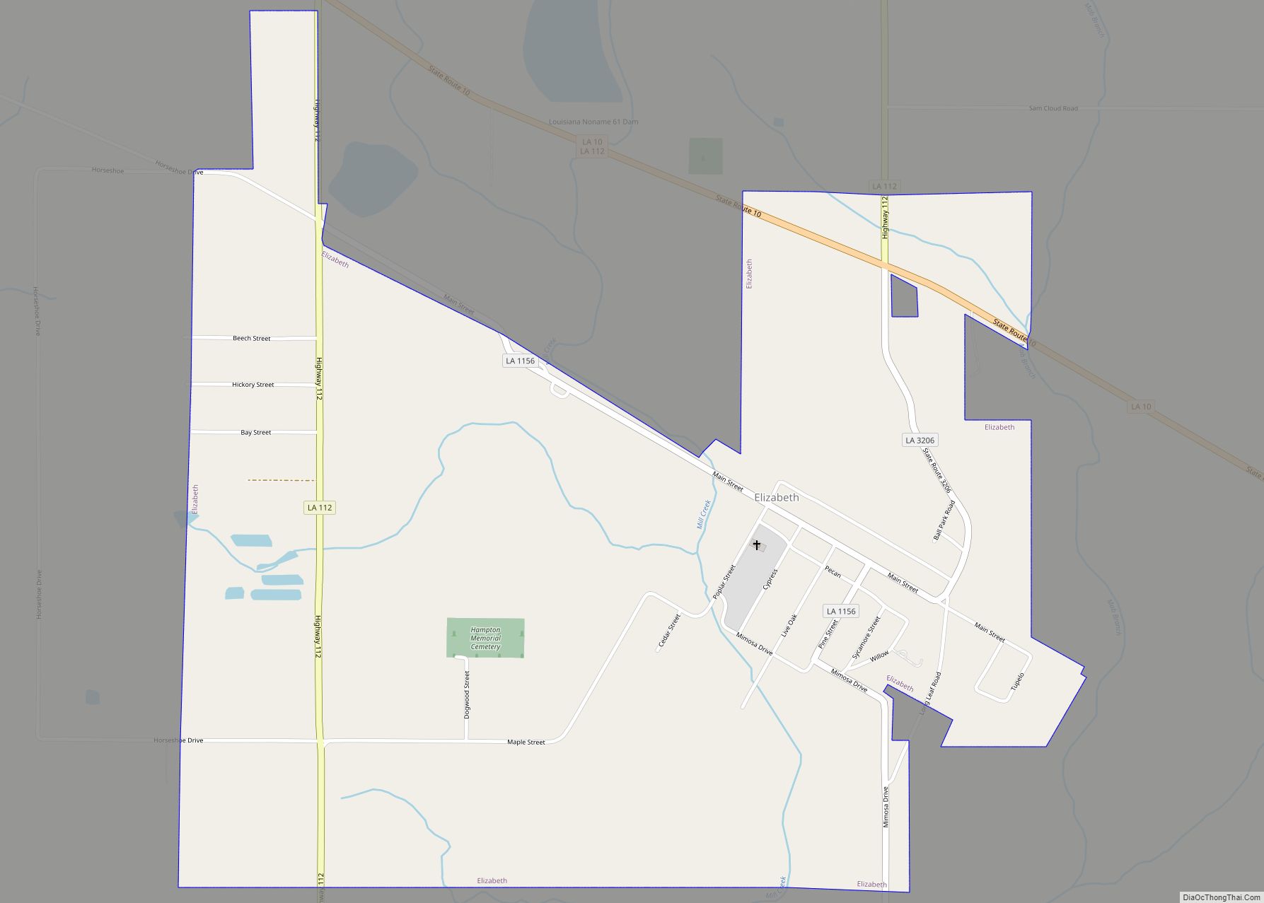
Elizabeth is a village in Allen Parish, Louisiana, United States with population of 417 in the 2020 census. It was a town and had population of 532 at the 2010 census. Elizabeth town overview: Name: Elizabeth town LSAD Code: 43 LSAD Description: town (suffix) State: Louisiana County: Allen Parish Elevation: 144 ft (44 m) Total Area: 1.65 sq mi ... Read more
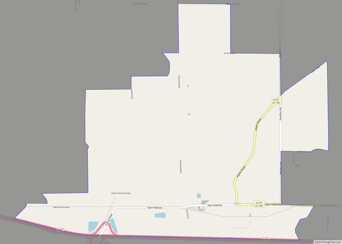
Egan is an unincorporated community and census-designated place in Acadia Parish, Louisiana, United States, located between Crowley and Jennings along Louisiana Highway 100, approximately two and one-half miles north of Midland near Bayou Jonas. The community is a part of the Crowley Micropolitan Statistical Area. As of the 2010 census, it had a population of ... Read more
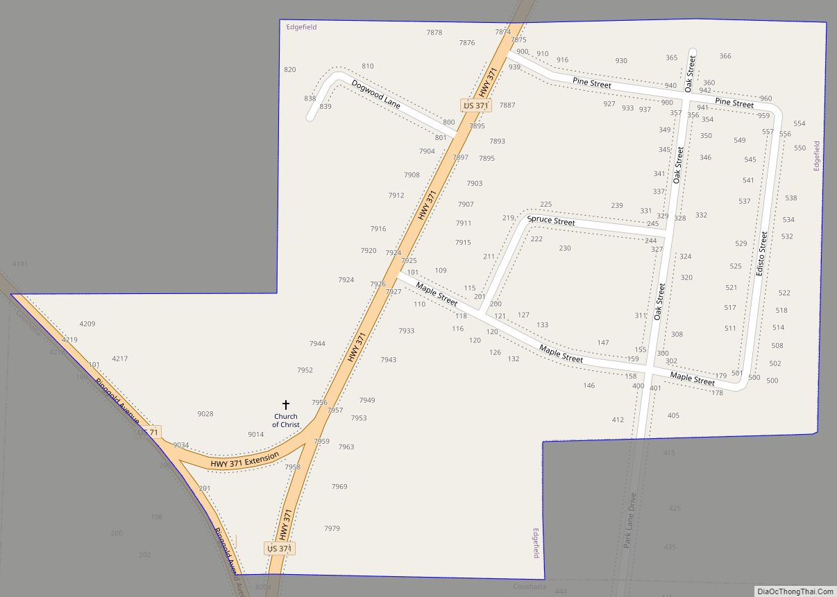
Edgefield is a village in Red River Parish, Louisiana, United States. The population was 190 at the 2000 census. Edgefield village overview: Name: Edgefield village LSAD Code: 47 LSAD Description: village (suffix) State: Louisiana County: Red River Parish Total Area: 0.25 sq mi (0.64 km²) Land Area: 0.25 sq mi (0.64 km²) Water Area: 0.00 sq mi (0.00 km²) Total Population: 204 Population Density: ... Read more
Empire is a census-designated place (CDP) in Plaquemines Parish, Louisiana, United States. The population was 905 at the 2020 census. Empire CDP overview: Name: Empire CDP LSAD Code: 57 LSAD Description: CDP (suffix) State: Louisiana County: Plaquemines Parish Elevation: 3 ft (0.9 m) Total Area: 7.62 sq mi (19.72 km²) Land Area: 5.22 sq mi (13.51 km²) Water Area: 2.40 sq mi (6.21 km²) Total Population: ... Read more
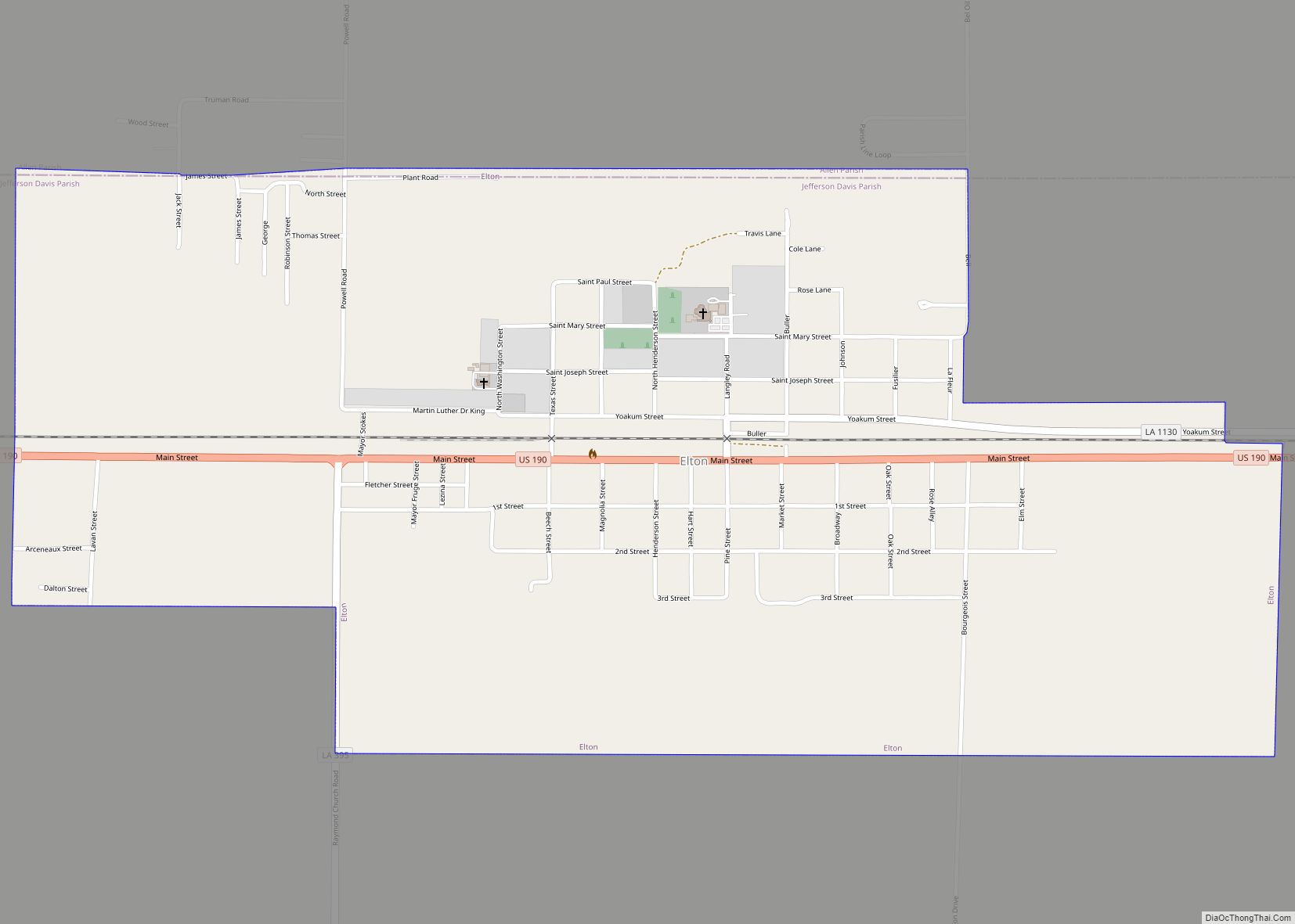
Elton is a town in Jefferson Davis Parish, Louisiana, United States. The population was 992 at the 2020 census, down from 1,128 at the 2010 census. It is part of the Jennings Micropolitan Statistical Area. Elton town overview: Name: Elton town LSAD Code: 43 LSAD Description: town (suffix) State: Louisiana County: Jefferson Davis Parish Elevation: ... Read more
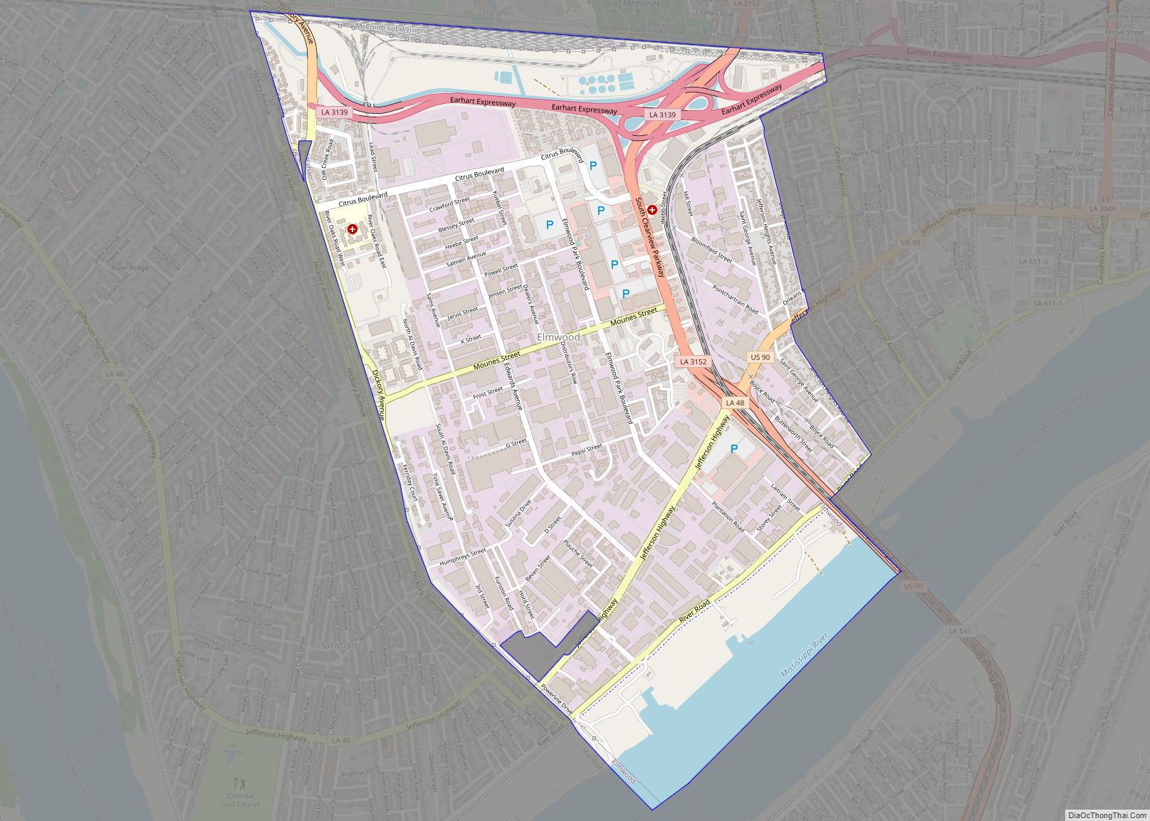
Elmwood is a census-designated place (CDP) in Jefferson Parish, Louisiana, United States, within the New Orleans–Metairie–Kenner metropolitan statistical area. The population was 4,635 at the 2010 census, and 5,649 in 2020. Elmwood was part of neighboring Jefferson’s census area from 1960 to 1990. The ZIP Code serving Elmwood is 70123. Elmwood CDP overview: Name: Elmwood ... Read more
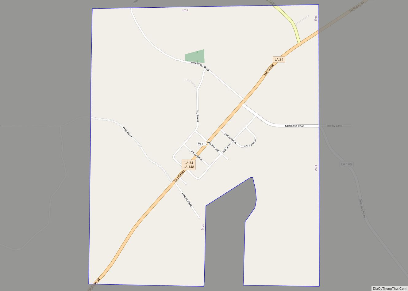
Eros is a town in Jackson Parish, Louisiana, United States. The population was 155 at the 2010 census. It is part of the Ruston Micropolitan Statistical Area. Eros town overview: Name: Eros town LSAD Code: 43 LSAD Description: town (suffix) State: Louisiana County: Jackson Parish Elevation: 207 ft (63 m) Total Area: 1.00 sq mi (2.58 km²) Land Area: 1.00 sq mi ... Read more
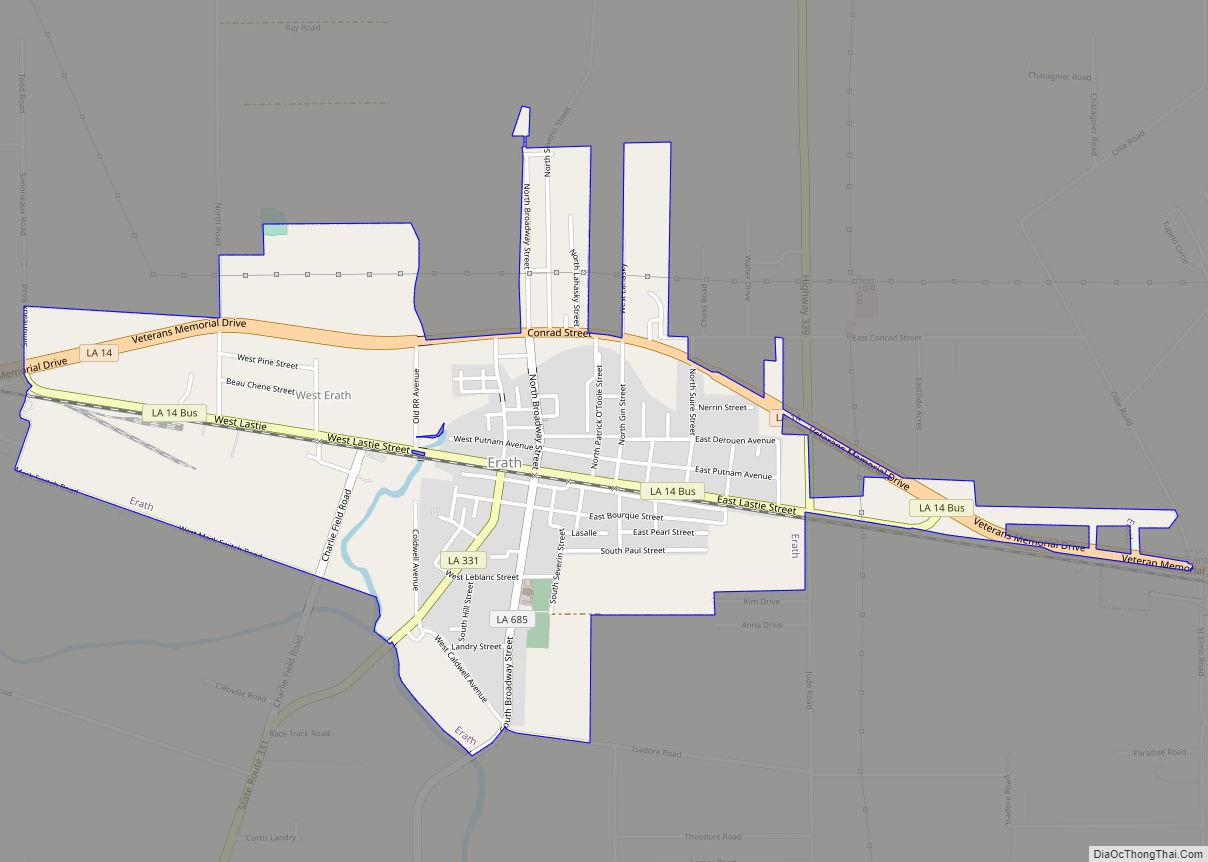
Erath is a town in Vermilion Parish, Louisiana, United States. The population was 2,114 at the 2010 census, and 2,030 at the 2020 population estimates program. It is part of the Abbeville micropolitan statistical area and the Lafayette metropolitan area. Erath town overview: Name: Erath town LSAD Code: 43 LSAD Description: town (suffix) State: Louisiana ... Read more
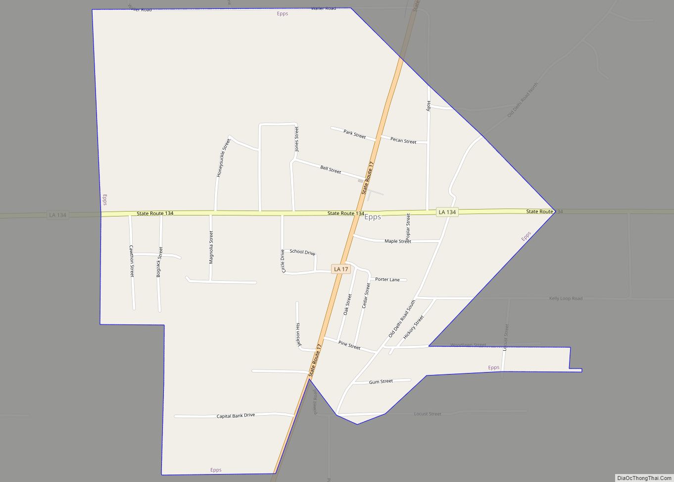
Epps is a village in West Carroll Parish, Louisiana, United States. The population was 854 at the 2010 census. The Poverty Point National Monument, the most complex earthworks site built by a late Archaic culture, is located to the east of Epps. Epps village overview: Name: Epps village LSAD Code: 47 LSAD Description: village (suffix) ... Read more
