Map of Forest village, Louisiana
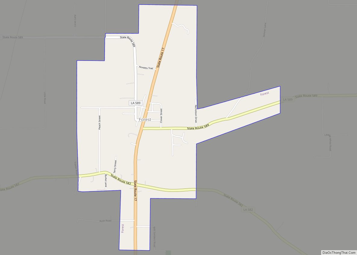
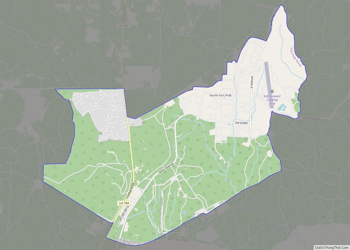
Forest is a village in West Carroll Parish in northeastern Louisiana, United States. The population was 275 at the 2000 census. Forest Police Chief James Robert “Bob” Smith (Independent; born June 1931), with service since 1998 is the oldest elected official in the State of Louisiana, as of 2017. After thirty years as a mechanic ... Read more
Map of Forest village, Louisiana
Map of Forest Hill village, Louisiana
Forest Hill is a village in Rapides Parish, Louisiana, United States. It is part of the Alexandria, Louisiana Metropolitan Statistical Area. The population was 818 at the 2010 census. Forest Hill village overview: Name: Forest Hill village LSAD Code: 47 LSAD Description: village (suffix) State: Louisiana County: Rapides Parish Elevation: 167 ft (51 m) Total Area: 3.79 sq mi ... Read more
Map of Forest Hill village, Louisiana
Map of Fordoche town
Fordoche (pronounced four-DOASH) is a town in Pointe Coupee Parish, Louisiana, United States. The population was 928 at the 2010 census. It is part of the Baton Rouge Metropolitan Statistical Area. Fordoche town overview: Name: Fordoche town LSAD Code: 43 LSAD Description: town (suffix) State: Louisiana County: Pointe Coupee Parish Incorporated: 1961 Elevation: 30 ft (9 m) ... Read more
Map of Fordoche town
Map of Fort Polk South CDP
Fort Polk South is a census-designated place (CDP) in Vernon Parish, Louisiana, United States. The population was 11,000 at the 2000 census. Fort Polk South is the larger principal city of the Fort Polk South-DeRidder CSA, a Combined Statistical Area that includes the Fort Polk South (Vernon Parish) and DeRidder (Beauregard Parish) micropolitan areas, which ... Read more
Map of Fort Polk South CDP
Map of Fort Polk North CDP
Fort Polk North is a census-designated place (CDP) in Vernon Parish, Louisiana, United States. The population was 3,279 at the 2000 census. It is part of the Fort Polk South Micropolitan Statistical Area. Fort Polk North CDP overview: Name: Fort Polk North CDP LSAD Code: 57 LSAD Description: CDP (suffix) State: Louisiana County: Vernon Parish ... Read more
Map of Fort Polk North CDP
Map of Fort Jesup CDP
Fort Jesup, also known as Fort Jesup State Historic Site or Fort Jesup or Fort Jesup State Monument, was built in 1822, 22 miles (35 km) west of Natchitoches, Louisiana, to protect the United States border with New Spain and to return order to the Neutral Strip. Originally named Cantonment Jesup, the fort operated from 1822 ... Read more
Map of Fort Jesup CDP
Map of French Settlement village
French Settlement (historically French: La Côte-Française) is a village in Livingston Parish, Louisiana, United States. The population was 1,116 at the 2010 census. It is part of the Baton Rouge Metropolitan Statistical Area. French Settlement village overview: Name: French Settlement village LSAD Code: 47 LSAD Description: village (suffix) State: Louisiana County: Livingston Parish Incorporated: June ... Read more
Map of French Settlement village
Map of Franklinton town, Louisiana
Franklinton is a town in, and the parish seat of Washington Parish, Louisiana, United States. The population was 3,857 at the 2010 census. The elevation is an average of 155 feet (47 m) above sea level. Franklinton is located 61 miles (98 km) north of New Orleans. A Franklinton physician, Jerry Thomas, represented Washington Parish in the ... Read more
Map of Franklinton town, Louisiana
Map of Franklin city, Louisiana
Franklin is a small city in and the parish seat of St. Mary Parish, Louisiana, United States. The population was 7,660 at the 2010 census. The city is located on Bayou Teche, southeast of the cities of Lafayette, 47 miles (76 km) and New Iberia, 28 miles (45 km), and 22 miles (35 km) northwest of Morgan City. ... Read more
Map of Franklin city, Louisiana
Map of Gardere CDP
Gardere is an unincorporated area and census-designated place (CDP) in East Baton Rouge Parish, Louisiana, United States. The area is also known as Riverland. The population was 10,580 at the 2010 census, up from 8,992 in 2000. It is part of the Baton Rouge Metropolitan Statistical Area. Gardere CDP overview: Name: Gardere CDP LSAD Code: ... Read more
Map of Gardere CDP
Map of Galliano CDP
Galliano is an unincorporated community and census-designated place (CDP) on the Bayou Lafourche in Lafourche Parish, Louisiana, United States. As of 2020, its population was 7,100. It is part of the Houma–Bayou Cane–Thibodaux metropolitan statistical area. Galliano CDP overview: Name: Galliano CDP LSAD Code: 57 LSAD Description: CDP (suffix) State: Louisiana County: Lafourche Parish Elevation: ... Read more
Map of Galliano CDP
Map of Frierson CDP
Frierson is an unincorporated community and census-designated place (CDP) in DeSoto Parish, Louisiana, United States. It is located approximately 3 miles (5 km) north of Interstate 49 (exit 186) along Louisiana State Highway 175. As of the 2010 census, the population was 143. The community is part of the Shreveport–Bossier City Metropolitan Statistical Area. George Dement, ... Read more
Map of Frierson CDP