Aleutians East Borough (/əˈljuːʃənz/) is a 2nd class borough in the U.S. state of Alaska. As of the 2020 census the borough’s population was 3,420. The borough seat is Sand Point.
| Name: | Aleutians East Borough |
|---|---|
| FIPS code: | 02-013 |
| State: | Alaska |
| Named for: | Aleutian Islands |
| Seat: | Sand Point |
| Largest city: | Akutan |
| Total Area: | 15,010 sq mi (38,900 km²) |
| Land Area: | 6,982 sq mi (18,080 km²) |
| Total Population: | 3,420 |
| Population Density: | 0.23/sq mi (0.088/km²) |
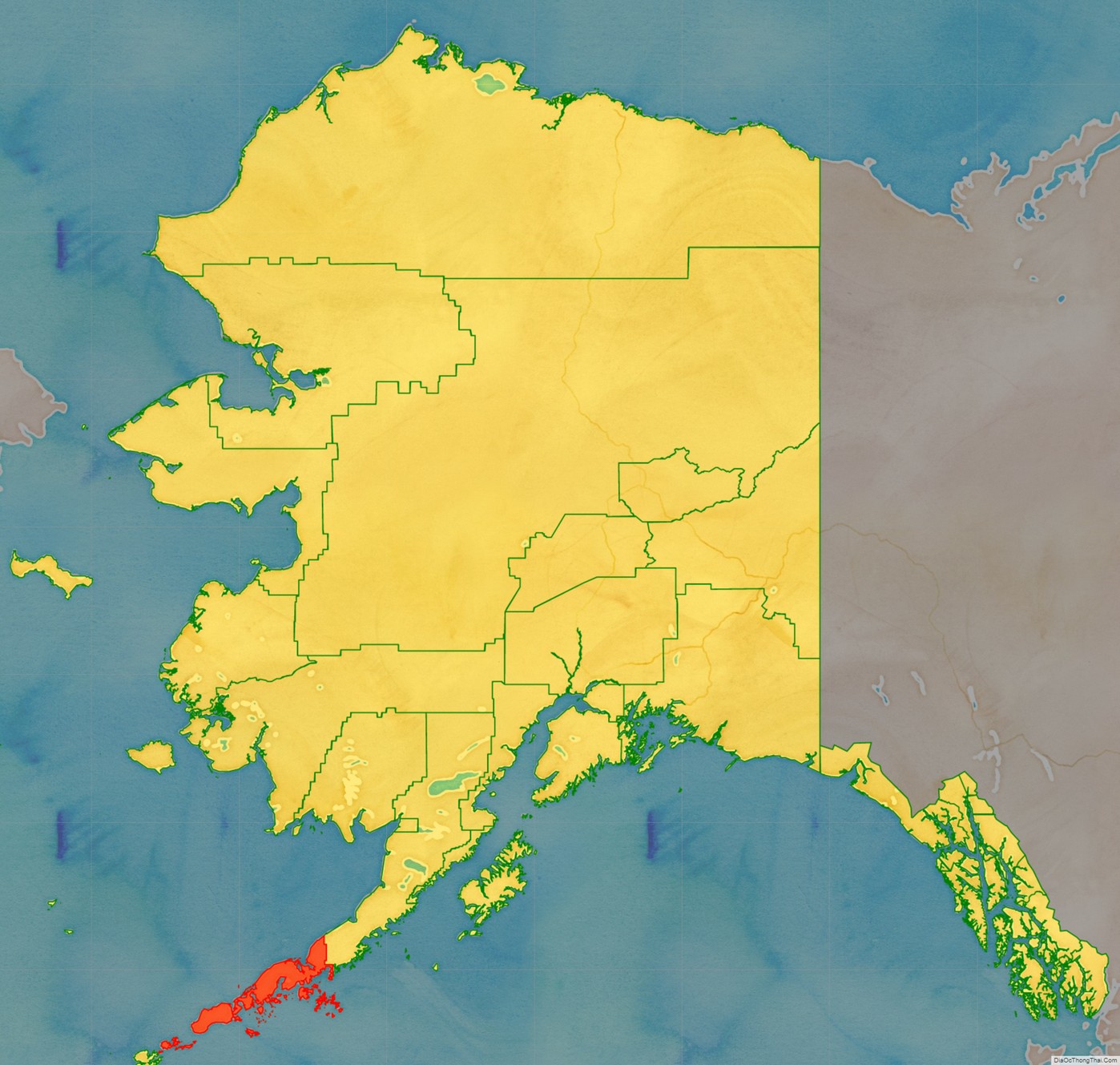
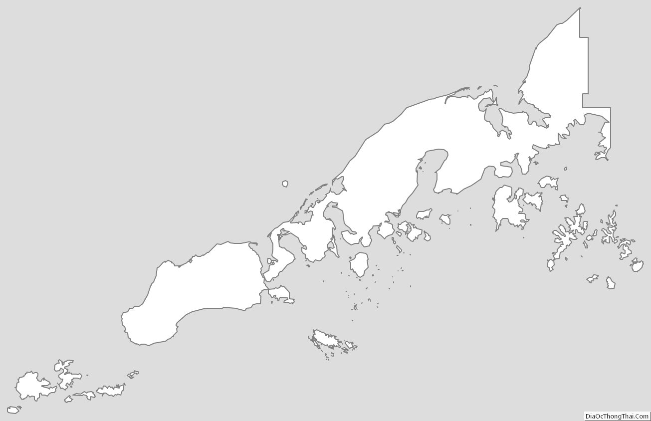
Aleutians East Borough location map. Where is Aleutians East Borough?
History
According to archaeological evidence, the area has been inhabited by the Aleuts since the last ice age. Early contact was with Russian fur traders who sought sea otters in these islands. Whaling, fishing and cannery operations brought an influx of Scandinavian and European fishermen in the early 1900s. During World War II, the area was a strategic military site for the Aleutian Campaign, and many locals were evacuated to Ketchikan.
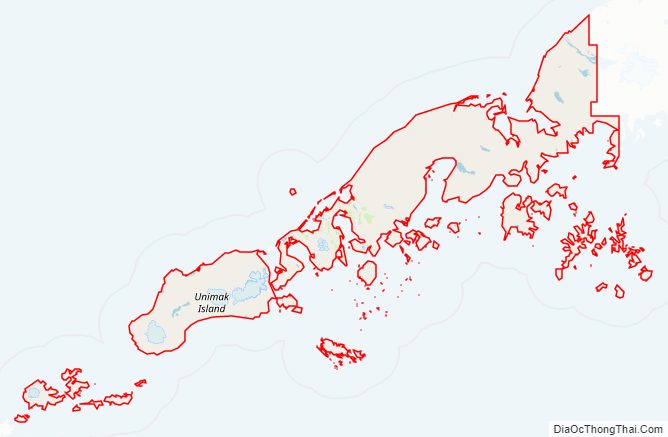
Aleutians East Borough Road Map
Geography
According to the U.S. Census Bureau, the borough has a total area of 15,010 square miles (38,900 km), of which 6,982 square miles (18,080 km) is land and 8,028 square miles (20,790 km) (53.5%) is water.
Aleutians East Borough is located at 57° north latitude and 162° west longitude. It comprises the westernmost portion of the Alaska Peninsula, and a small number of the Aleutian Islands, from which the borough name derives. Also included are the Shumagin Islands, as well as the Pavlof Islands and the Sanak Islands. In all, about 63.9 percent of its land area comprises land on the Alaska Peninsula, while 36.1 percent is on the numerous islands. There are five incorporated cities and two unincorporated villages within the borough.
Temperatures range from -9 to 76 degrees Fahrenheit. Annual precipitation is 33 inches and annual snowfall is 52 inches.
National protected areas
- Alaska Maritime National Wildlife Refuge (parts of the Alaska Peninsula and Aleutian Islands units)
- Aleutian Islands Wilderness (part)
- Simeonof Wilderness
- Unimak Wilderness
- Alaska Peninsula National Wildlife Refuge (part)
- Izembek National Wildlife Refuge
- Izembek Wilderness
Adjacent boroughs and census areas
- Lake and Peninsula Borough, Alaska to the east
- Aleutians West Census Area, Alaska to the west
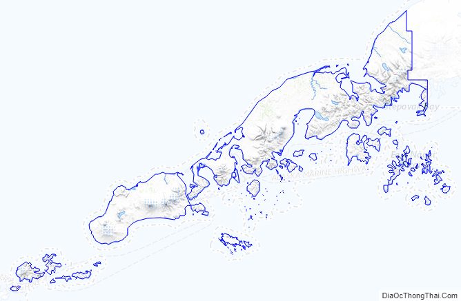
Aleutians East Borough Topographic Map
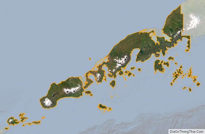
Aleutians East Borough Satellite Map
Aleutians East Borough Outline Map
See also
Map of Alaska State and its subdivision:- Aleutians East
- Aleutians West
- Anchorage
- Bethel
- Bristol Bay
- Denali
- Dillingham
- Fairbanks North Star
- Haines
- Juneau
- Kenai Peninsula
- Ketchikan Gateway
- Kodiak Island
- Lake and Peninsula
- Matanuska-Susitna
- Nome
- North Slope
- Northwest Arctic
- Prince of Wales-Outer Ketchi
- Sitka
- Skagway-Yakutat-Angoon
- Southeast Fairbanks
- Valdez-Cordova
- Wade Hampton
- Wrangell-Petersburg
- Yukon-Koyukuk
- Alabama
- Alaska
- Arizona
- Arkansas
- California
- Colorado
- Connecticut
- Delaware
- District of Columbia
- Florida
- Georgia
- Hawaii
- Idaho
- Illinois
- Indiana
- Iowa
- Kansas
- Kentucky
- Louisiana
- Maine
- Maryland
- Massachusetts
- Michigan
- Minnesota
- Mississippi
- Missouri
- Montana
- Nebraska
- Nevada
- New Hampshire
- New Jersey
- New Mexico
- New York
- North Carolina
- North Dakota
- Ohio
- Oklahoma
- Oregon
- Pennsylvania
- Rhode Island
- South Carolina
- South Dakota
- Tennessee
- Texas
- Utah
- Vermont
- Virginia
- Washington
- West Virginia
- Wisconsin
- Wyoming