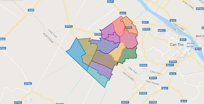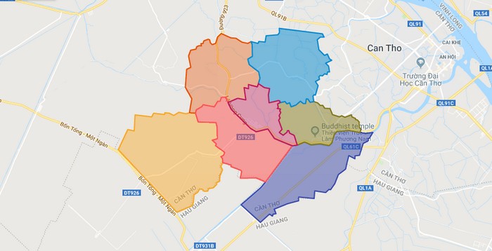
Map of Phong Dien district – Can Tho city
Political Map of Phong Dien district – Can Tho city Interactive online map of Phong Dien Click on to view map in “full screen” mode. Source: Database of Global Administrative Areas, Global Map of Vietnam ©ISCGM, Ministry of Nutural Resources and Environment -Vietnam.Base Map Layer: Open Street Map (OSM), Arcgisonline, Google Map, Wmflabs. Large scale … Read more