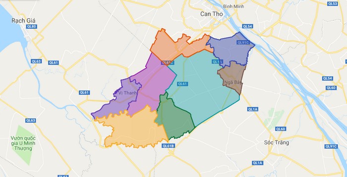
Map of Hau Giang province
Hau Giang is a province of Vietnam, in the Mekong Delta region in the southern part of that country. Vi Thanh is the capital. Until 1975, the province of Hau Giang included the city of Can Tho; that city was the capital of the province. In 1975, the province was renamed Can Tho Province, with … Read more