Baraga County (/ˈbɛərəɡə/ BAIR-ə-gə) is a county in the Upper Peninsula in the U.S. state of Michigan. As of the 2020 Census, the population was 8,158, making it Michigan’s fifth-least populous county. The county seat is L’Anse. The county is named after Bishop Frederic Baraga, a Catholic missionary who ministered to the Ojibwa Indians in the Michigan Territory.
The L’Anse Indian Reservation of the Ojibwa is within Baraga County.
| Name: | Baraga County |
|---|---|
| FIPS code: | 26-013 |
| State: | Michigan |
| Founded: | February 19, 1875 |
| Named for: | Frederic Baraga |
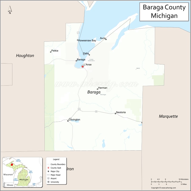
| Seat: | L’Anse |
| Total Area: | 1,069 sq mi (2,770 km²) |
| Land Area: | 898 sq mi (2,330 km²) |
| Total Population: | 8,158 |
| Population Density: | 9.9/sq mi (3.8/km²) |
| Time zone: | UTC−5 (Eastern) |
| Summer Time Zone (DST): | UTC−4 (EDT) |
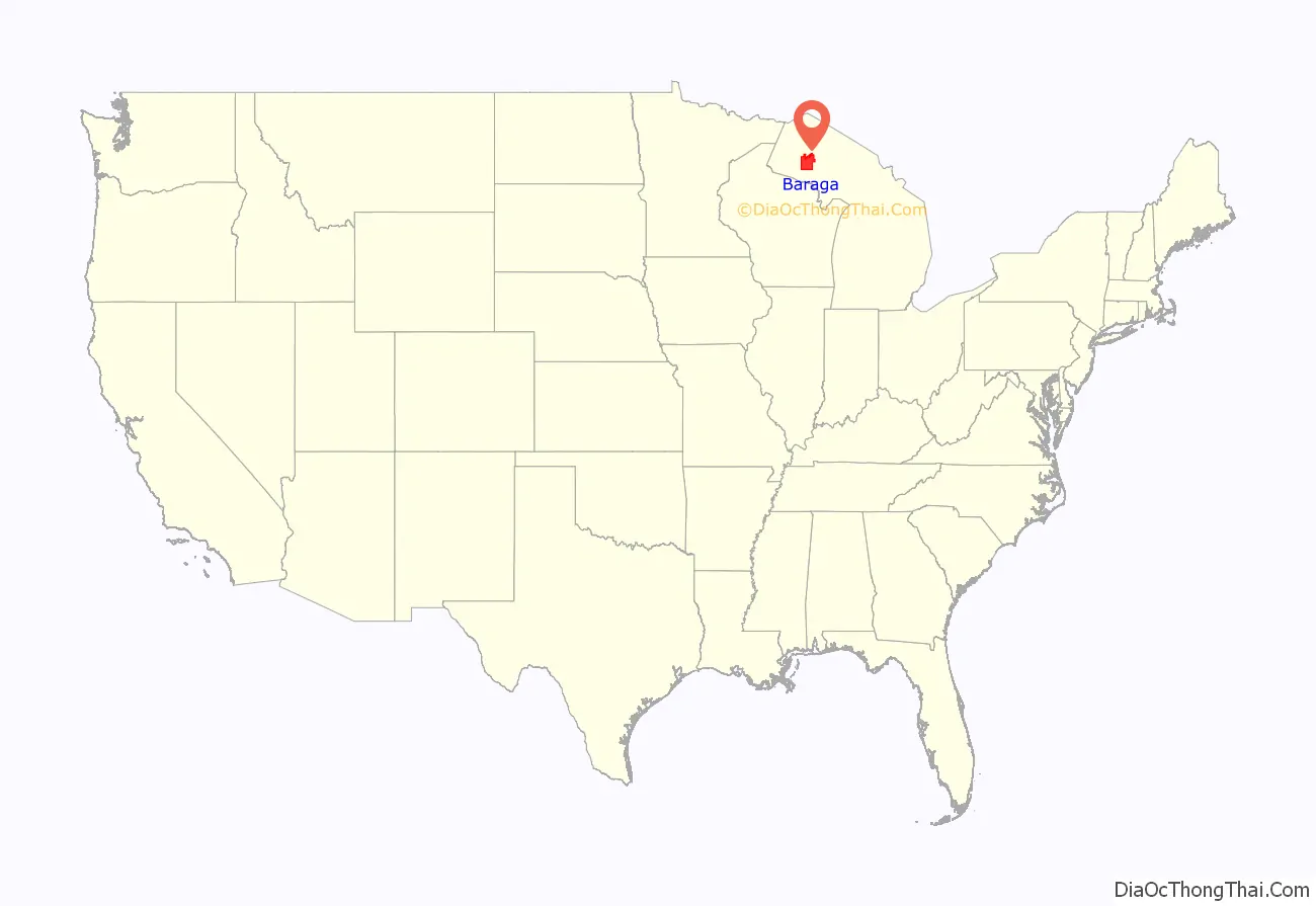
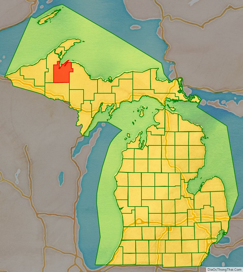
Baraga County location map. Where is Baraga County?
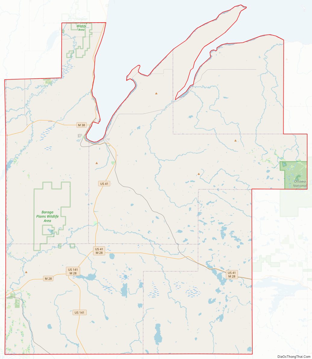
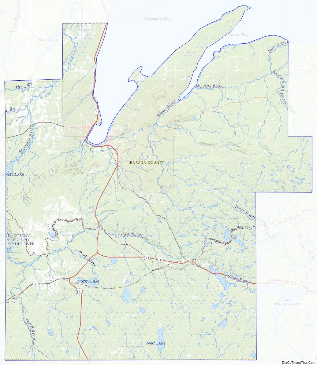
Baraga County Road Map
Geography
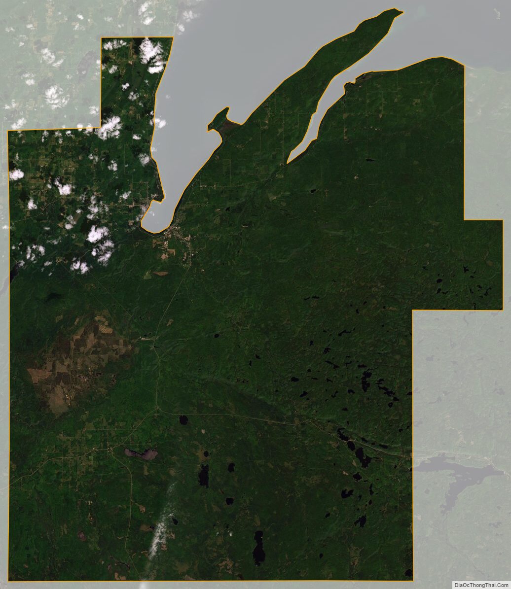
According to the U.S. Census Bureau, the county has a total area of 1,069 square miles (2,770 km), of which 898 square miles (2,330 km) is land and 171 square miles (440 km) (16%) is water.
The county is located in the state’s Upper Peninsula on the shore of Lake Superior, at the southeast base of the Keweenaw Peninsula. The villages of Baraga and L’Anse are located at the base of Lake Superior’s Keweenaw Bay. Point Abbaye projects north into the lake, enclosing Huron Bay. The eastern two-thirds of the county includes much of the Huron Mountains, including Mount Arvon—the highest natural point in Michigan at 1,979 feet (603 m).
Major highways
- US 41 – runs north–south through the upper central part of county. The highway enters at the northeast corner of the county on the west shore of Keeweenaw Bay and runs south along the shoreline to Baraga and L’Anse, then turns inland (south) past Alberta, then east through Nestoria and Three Lakes. It exits into Marquette County at Imperial Heights.
- US 141 – runs south from its intersection with US-41 south of Alberta into Iron County.
- M-28 – enters the west side of the county then runs east and east-northeast to the intersection with US-141 at Covington.
- M-38 – runs east–west through the northwest corner of county. It enters from Alston in Houghton County, then runs east to intersection with US-41 at Baraga.
Adjacent counties
- Marquette County (east)
- Iron County (south)
- Houghton County (west)
National protected areas
- Keweenaw National Historical Park (part)
- Ottawa National Forest (part)
Baraga County Topographic Map
Baraga County Satellite Map
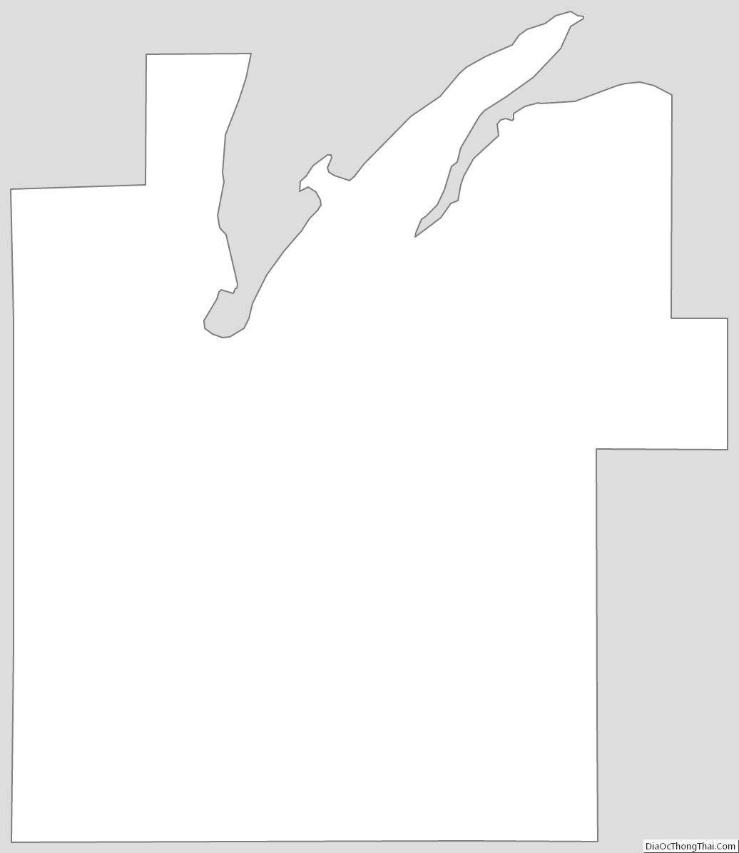
Baraga County Outline Map
See also
Map of Michigan State and its subdivision:- Alcona
- Alger
- Allegan
- Alpena
- Antrim
- Arenac
- Baraga
- Barry
- Bay
- Benzie
- Berrien
- Branch
- Calhoun
- Cass
- Charlevoix
- Cheboygan
- Chippewa
- Clare
- Clinton
- Crawford
- Delta
- Dickinson
- Eaton
- Emmet
- Genesee
- Gladwin
- Gogebic
- Grand Traverse
- Gratiot
- Hillsdale
- Houghton
- Huron
- Ingham
- Ionia
- Iosco
- Iron
- Isabella
- Jackson
- Kalamazoo
- Kalkaska
- Kent
- Keweenaw
- Lake
- Lake Hurron
- Lake Michigan
- Lake St. Clair
- Lake Superior
- Lapeer
- Leelanau
- Lenawee
- Livingston
- Luce
- Mackinac
- Macomb
- Manistee
- Marquette
- Mason
- Mecosta
- Menominee
- Midland
- Missaukee
- Monroe
- Montcalm
- Montmorency
- Muskegon
- Newaygo
- Oakland
- Oceana
- Ogemaw
- Ontonagon
- Osceola
- Oscoda
- Otsego
- Ottawa
- Presque Isle
- Roscommon
- Saginaw
- Saint Clair
- Saint Joseph
- Sanilac
- Schoolcraft
- Shiawassee
- Tuscola
- Van Buren
- Washtenaw
- Wayne
- Wexford
- Alabama
- Alaska
- Arizona
- Arkansas
- California
- Colorado
- Connecticut
- Delaware
- District of Columbia
- Florida
- Georgia
- Hawaii
- Idaho
- Illinois
- Indiana
- Iowa
- Kansas
- Kentucky
- Louisiana
- Maine
- Maryland
- Massachusetts
- Michigan
- Minnesota
- Mississippi
- Missouri
- Montana
- Nebraska
- Nevada
- New Hampshire
- New Jersey
- New Mexico
- New York
- North Carolina
- North Dakota
- Ohio
- Oklahoma
- Oregon
- Pennsylvania
- Rhode Island
- South Carolina
- South Dakota
- Tennessee
- Texas
- Utah
- Vermont
- Virginia
- Washington
- West Virginia
- Wisconsin
- Wyoming