Bedford is an incorporated town and former independent city located within Bedford County in the U.S. state of Virginia. It serves as the county seat of Bedford County. As of the 2020 census, the population was 6,657. It is part of the Lynchburg Metropolitan Statistical Area.
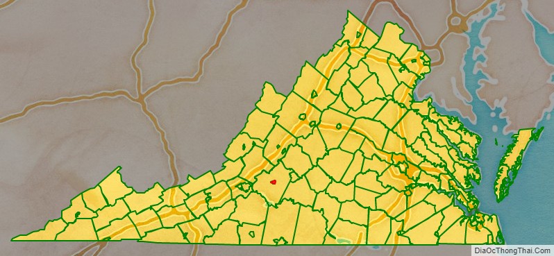
Bedford County surrounds the town and has the Blue Ridge Mountains to the north, Smith Mountain Lake to the south, Lynchburg to the east, and Roanoke to the west.
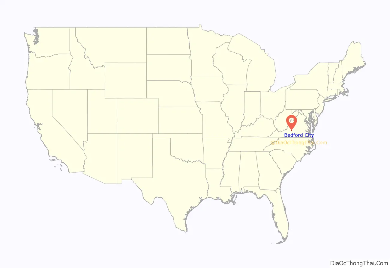
| Name: | Bedford City |
|---|---|
| State: | Virginia |
| Total Area: | 8.75 sq mi (22.67 km²) |
| Land Area: | 8.72 sq mi (22.59 km²) |
| Total Population: | 6,657 |
| Population Density: | 760/sq mi (290/km²) |
Bedford City location map. Where is Bedford City?
History
Bedford was originally known as Liberty, “named after the Colonial victory over Cornwallis at Yorktown.” Founded as a village in 1782, Liberty became Bedford County’s seat of government, replacing New London which had become part of the newly formed Campbell County. Liberty became a town in 1839 and in 1890 changed its name to Bedford City. In 1912, Bedford reverted to town status, it resumed city status in 1968, and once more it reverted to a town in 2013.
In November 1923, the town was the site of an accidental mass poisoning in which nine men were killed after drinking apple cider served at the Elks National Home. A local farmer had produced the drink and stored in a barrel that had been used to hold a pesticide.
Bedford is home to the National D-Day Memorial (despite the “National” in its name, the memorial is owned and operated by a non-governmental, non-profit, education foundation). The United States Congress warranted that this memorial would be the nation’s D-Day Memorial and President Bill Clinton authorized this effort in September 1996. President George W. Bush dedicated this memorial as the nation’s D-Day memorial on June 6, 2001. Bedford lost more residents per capita in the Normandy landings than any other American community. Nineteen soldiers from Bedford, whose 1944 population was about 3,200, were killed on D-Day. Three other Bedford soldiers died later in the Normandy campaign. Proportionally this community suffered the nation’s most severe D-Day losses.
Bedford was designated as an independent city in 1968, but remained the county seat of Bedford County. Its status as an independent city was ended on July 1, 2013, returning to a town within Bedford County.
Bedford City Road Map
Geography
According to the United States Census Bureau, the town has a total area of 6.9 square miles (18 km), of which 6.9 square miles (18 km) is land and 0.02 square miles (0.052 km) (0.3%) is water.
Bedford sits at the foot of the Peaks of Otter.
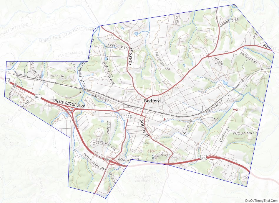
Bedford City Topographic Map
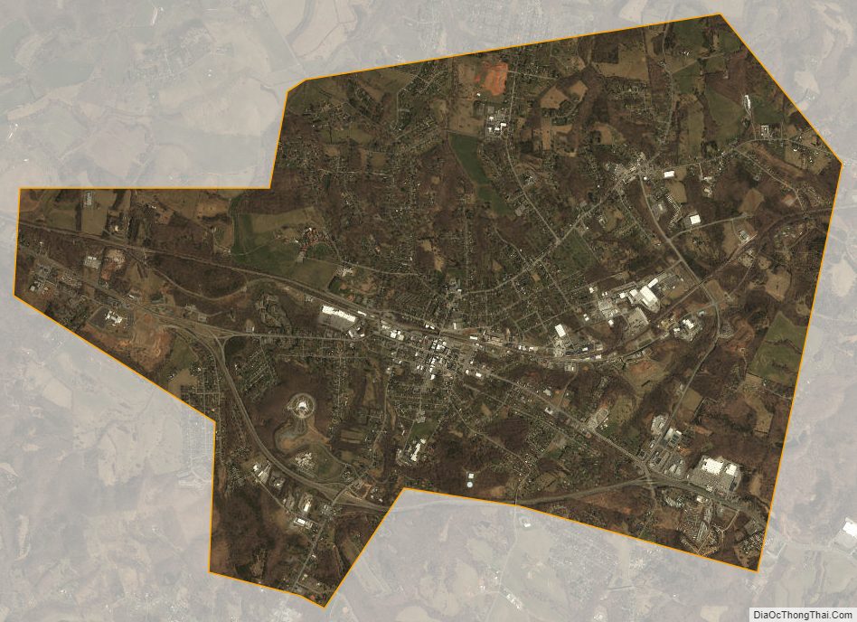
Bedford City Satellite Map
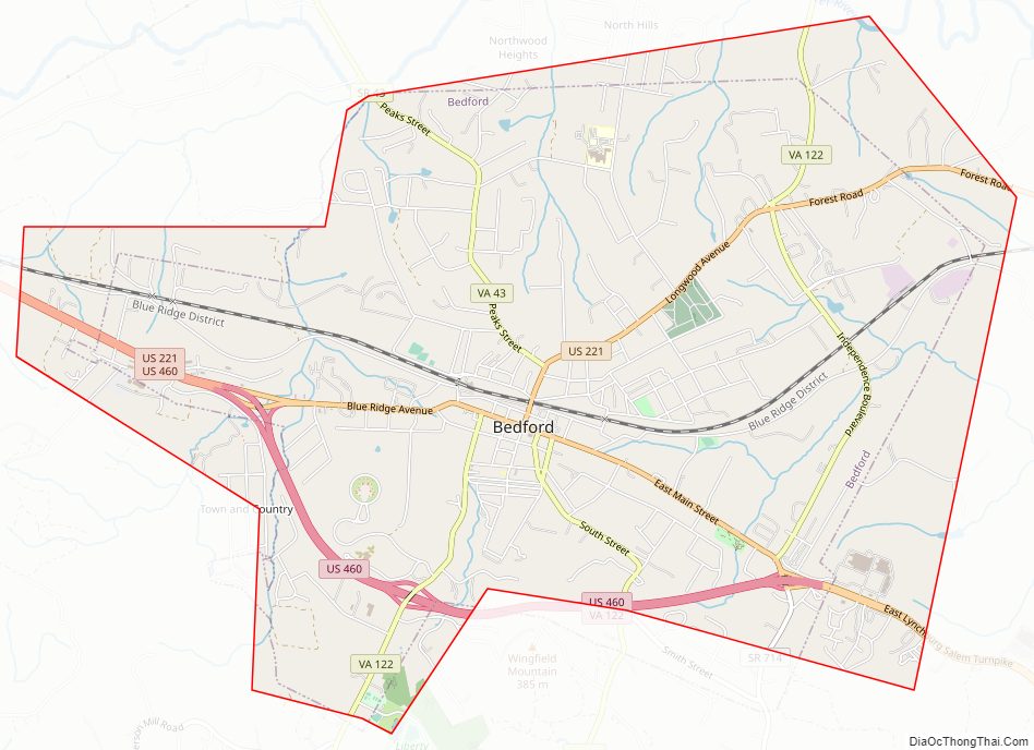
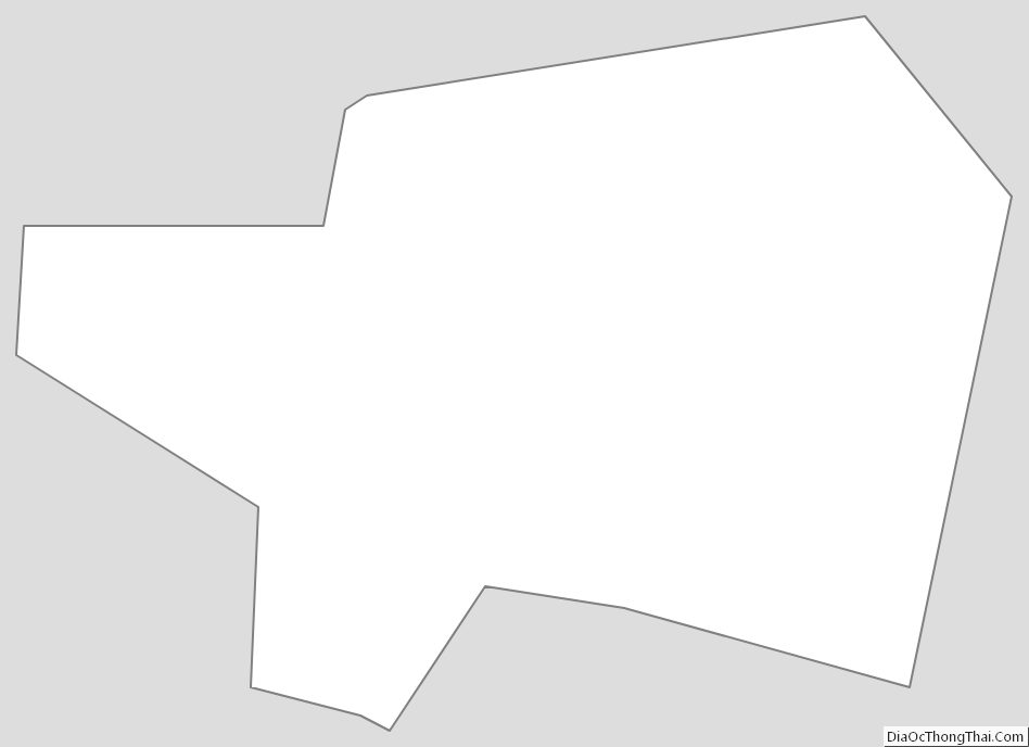
Bedford City Outline Map
See also
Map of Virginia State and its subdivision:- Accomack
- Albemarle
- Alexandria
- Alleghany
- Amelia
- Amherst
- Appomattox
- Arlington
- Augusta
- Bath
- Bedford
- Bedford City
- Bland
- Botetourt
- Bristol
- Brunswick
- Buchanan
- Buckingham
- Buena Vista
- Campbell
- Caroline
- Carroll
- Charles City
- Charlotte
- Charlottesville
- Chesapeake
- Chesterfield
- Clarke
- Clifton Forge City
- Colonial Heights
- Covington
- Craig
- Culpeper
- Cumberland
- Danville
- Dickenson
- Dinwiddie
- Emporia
- Essex
- Fairfax
- Fairfax City
- Falls Church
- Fauquier
- Floyd
- Fluvanna
- Franklin
- Frederick
- Fredericksburg
- Galax
- Giles
- Gloucester
- Goochland
- Grayson
- Greene
- Greensville
- Halifax
- Hampton
- Hanover
- Harrisonburg
- Henrico
- Henry
- Highland
- Hopewell
- Isle of Wight
- James City
- King and Queen
- King George
- King William
- Lancaster
- Lee
- Lexington
- Loudoun
- Louisa
- Lunenburg
- Lynchburg
- Madison
- Manassas
- Manassas Park
- Martinsville
- Mathews
- Mecklenburg
- Middlesex
- Montgomery
- Nelson
- New Kent
- Newport News
- Norfolk
- Northampton
- Northumberland
- Norton
- Nottoway
- Orange
- Page
- Patrick
- Petersburg
- Pittsylvania
- Poquoson
- Portsmouth
- Powhatan
- Prince Edward
- Prince George
- Prince William
- Pulaski
- Radford
- Rappahannock
- Richmond
- Roanoke
- Roanoke City
- Rockbridge
- Rockingham
- Russell
- Salem
- Scott
- Shenandoah
- Smyth
- Southampton
- Spotsylvania
- Stafford
- Staunton
- Suffolk
- Surry
- Sussex
- Tazewell
- Virginia Beach
- Warren
- Washington
- Waynesboro
- Westmoreland
- Williamsburg
- Winchester
- Wise
- Wythe
- York
- Alabama
- Alaska
- Arizona
- Arkansas
- California
- Colorado
- Connecticut
- Delaware
- District of Columbia
- Florida
- Georgia
- Hawaii
- Idaho
- Illinois
- Indiana
- Iowa
- Kansas
- Kentucky
- Louisiana
- Maine
- Maryland
- Massachusetts
- Michigan
- Minnesota
- Mississippi
- Missouri
- Montana
- Nebraska
- Nevada
- New Hampshire
- New Jersey
- New Mexico
- New York
- North Carolina
- North Dakota
- Ohio
- Oklahoma
- Oregon
- Pennsylvania
- Rhode Island
- South Carolina
- South Dakota
- Tennessee
- Texas
- Utah
- Vermont
- Virginia
- Washington
- West Virginia
- Wisconsin
- Wyoming