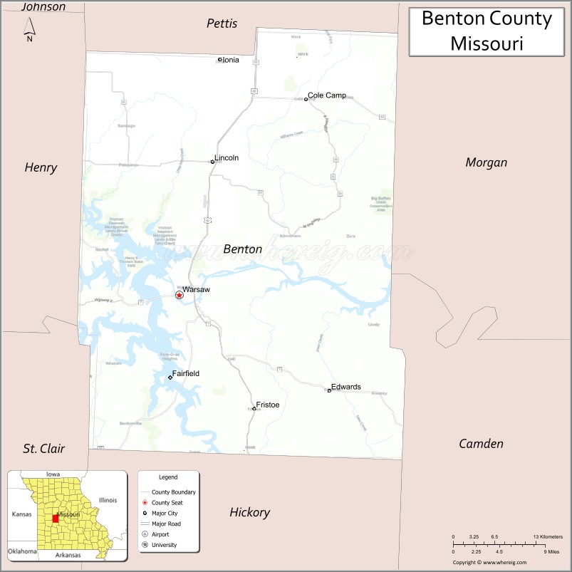
Benton County is a county located in the west central part of the U.S. state of Missouri. The population was 19,394 as of the 2020 Census. Its county seat is Warsaw. The county was organized January 3, 1835, and named for U.S. Senator Thomas Hart Benton of Missouri.
| Name: | Benton County |
|---|---|
| FIPS code: | 29-015 |
| State: | Missouri |
| Founded: | January 3, 1835 |
| Named for: | Thomas Hart Benton |
| Seat: | Warsaw |
| Largest city: | Warsaw |
| Total Area: | 753 sq mi (1,950 km²) |
| Land Area: | 704 sq mi (1,820 km²) |
| Total Population: | 19,394 |
| Population Density: | 26/sq mi (9.9/km²) |
| Time zone: | UTC−6 (Central) |
| Summer Time Zone (DST): | UTC−5 (CDT) |
| Website: | www.bentoncomo.com |
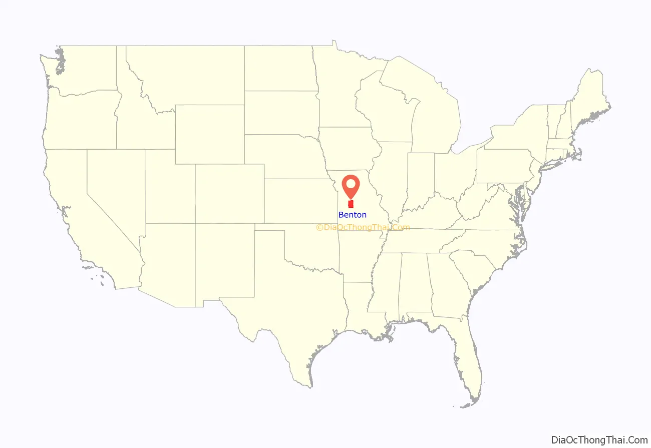
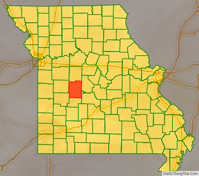
Benton County location map. Where is Benton County?
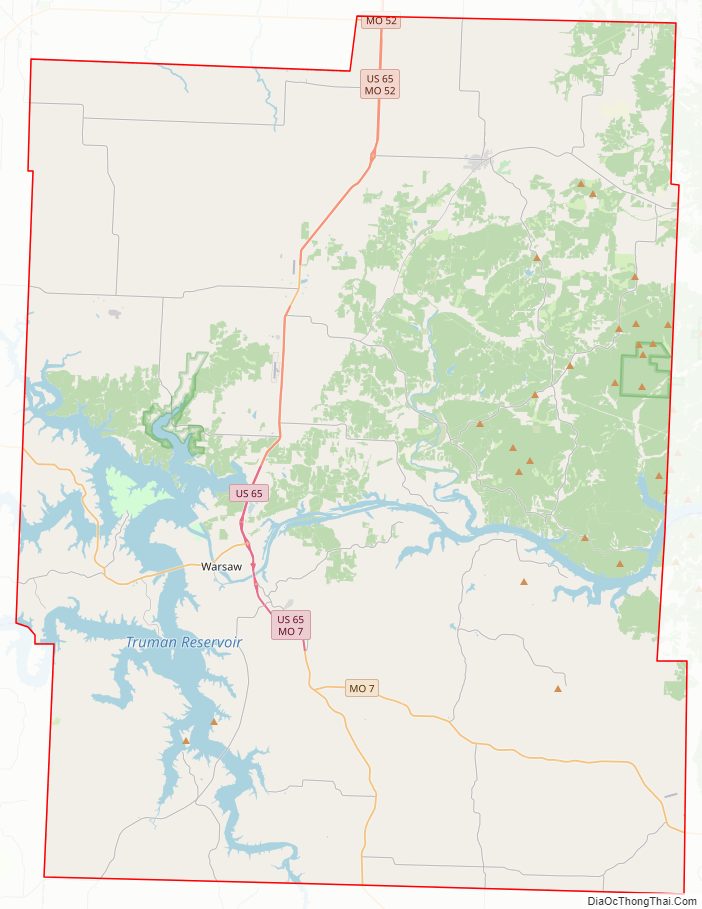
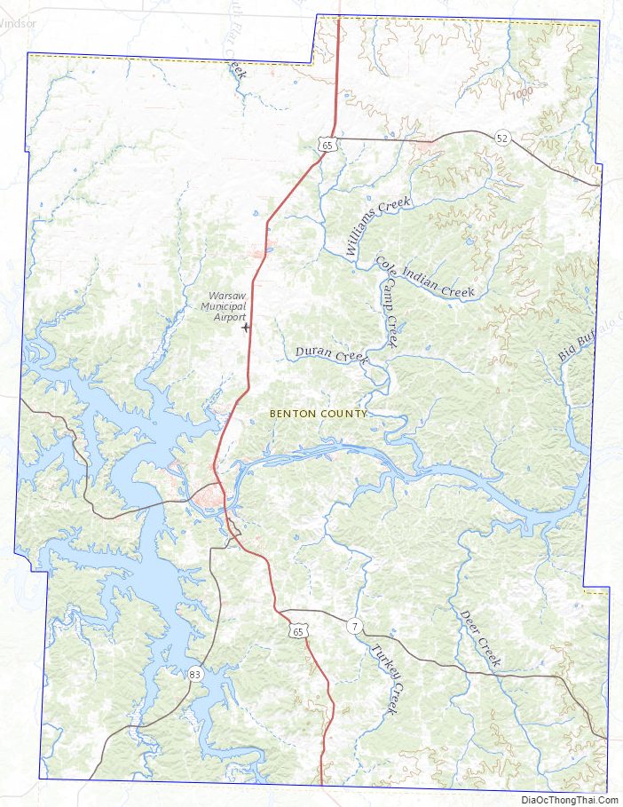
Benton County Road Map
Geography
According to the U.S. Census Bureau, the county has a total area of 753 square miles (1,950 km), of which 704 square miles (1,820 km) is land and 48 square miles (120 km) (6.4%) is water.
Adjacent counties
- Pettis County (north)
- Morgan County (northeast)
- Camden County (southeast)
- Hickory County (south)
- St. Clair County (southwest)
- Henry County (west)
Major highways
- U.S. Route 65
- Route 7
- Route 83
- Route 82
- Route 52
Benton County Topographic Map
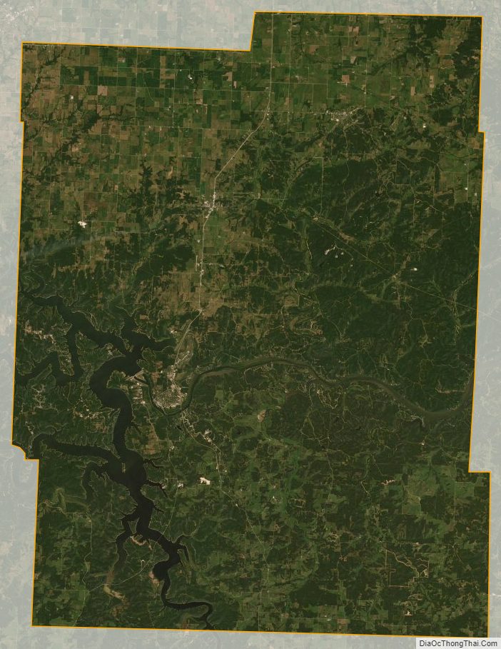
Benton County Satellite Map
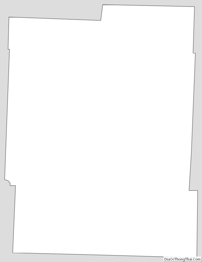
Benton County Outline Map
See also
Map of Missouri State and its subdivision:- Adair
- Andrew
- Atchison
- Audrain
- Barry
- Barton
- Bates
- Benton
- Bollinger
- Boone
- Buchanan
- Butler
- Caldwell
- Callaway
- Camden
- Cape Girardeau
- Carroll
- Carter
- Cass
- Cedar
- Chariton
- Christian
- Clark
- Clay
- Clinton
- Cole
- Cooper
- Crawford
- Dade
- Dallas
- Daviess
- De Kalb
- Dent
- Douglas
- Dunklin
- Franklin
- Gasconade
- Gentry
- Greene
- Grundy
- Harrison
- Henry
- Hickory
- Holt
- Howard
- Howell
- Iron
- Jackson
- Jasper
- Jefferson
- Johnson
- Knox
- Laclede
- Lafayette
- Lawrence
- Lewis
- Lincoln
- Linn
- Livingston
- Macon
- Madison
- Maries
- Marion
- McDonald
- Mercer
- Miller
- Mississippi
- Moniteau
- Monroe
- Montgomery
- Morgan
- New Madrid
- Newton
- Nodaway
- Oregon
- Osage
- Ozark
- Pemiscot
- Perry
- Pettis
- Phelps
- Pike
- Platte
- Polk
- Pulaski
- Putnam
- Ralls
- Randolph
- Ray
- Reynolds
- Ripley
- Saint Charles
- Saint Clair
- Saint Francois
- Saint Louis
- Sainte Genevieve
- Saline
- Schuyler
- Scotland
- Scott
- Shannon
- Shelby
- Stoddard
- Stone
- Sullivan
- Taney
- Texas
- Vernon
- Warren
- Washington
- Wayne
- Webster
- Worth
- Wright
- Alabama
- Alaska
- Arizona
- Arkansas
- California
- Colorado
- Connecticut
- Delaware
- District of Columbia
- Florida
- Georgia
- Hawaii
- Idaho
- Illinois
- Indiana
- Iowa
- Kansas
- Kentucky
- Louisiana
- Maine
- Maryland
- Massachusetts
- Michigan
- Minnesota
- Mississippi
- Missouri
- Montana
- Nebraska
- Nevada
- New Hampshire
- New Jersey
- New Mexico
- New York
- North Carolina
- North Dakota
- Ohio
- Oklahoma
- Oregon
- Pennsylvania
- Rhode Island
- South Carolina
- South Dakota
- Tennessee
- Texas
- Utah
- Vermont
- Virginia
- Washington
- West Virginia
- Wisconsin
- Wyoming