Bolivar County (/ˈbɒlɪvər/ BOL-i-vər) is a county located on the western border of the U.S. state of Mississippi. As of the 2020 census, the population was 30,985. Its county seats are Rosedale and Cleveland. The county is named in honor of Simón Bolívar, early 19th-century leader of the liberation of several South American colonies from Spain.
The Cleveland, Mississippi, Micropolitan Statistical Area includes all of Bolivar County. It is located in the Mississippi Delta, or Yazoo Basin, of Mississippi. This area was first developed for cotton plantations. Large industrial-scale agricultural operations have reduced the number of farm workers needed, and the population is half of its peak in 1930. Today, soybeans, corn, and rice are also commodity crops.
| Name: | Bolivar County |
|---|---|
| FIPS code: | 28-011 |
| State: | Mississippi |
| Founded: | 1836 |
| Named for: | Simón Bolívar |
| Seat: | Rosedale and Cleveland |
| Largest city: | Cleveland |
| Total Area: | 906 sq mi (2,350 km²) |
| Land Area: | 877 sq mi (2,270 km²) |
| Total Population: | 30,985 |
| Population Density: | 34/sq mi (13/km²) |
| Time zone: | UTC−6 (Central) |
| Summer Time Zone (DST): | UTC−5 (CDT) |
| Website: | www.co.bolivar.ms.us |
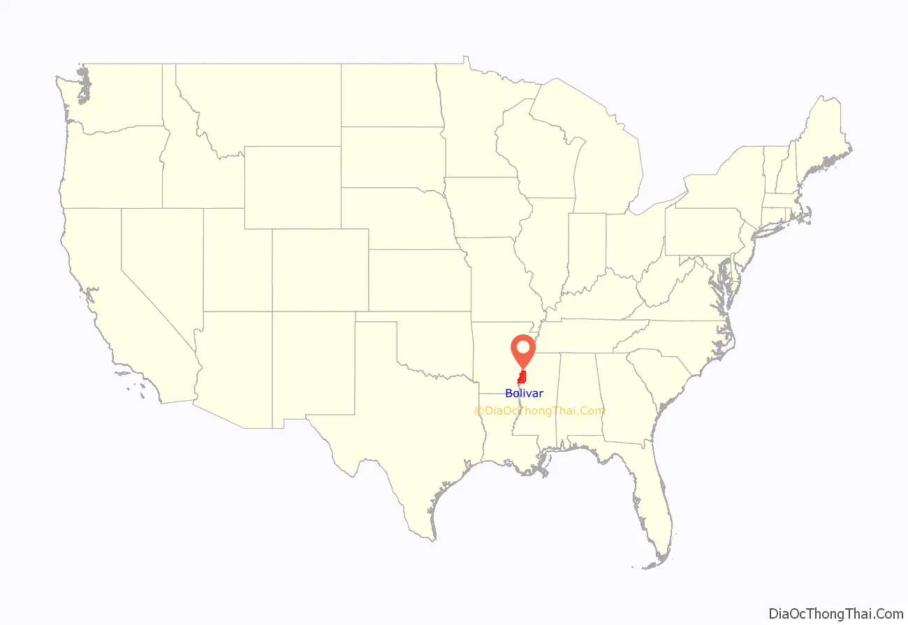
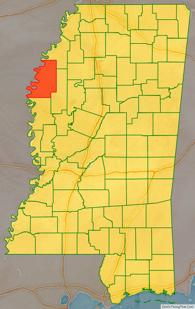
Bolivar County location map. Where is Bolivar County?
History
In 1836, when it was founded, the land was originally Choctaw, and was taken for use in agriculture, with some of the most valued land in the state. In 1840, there was only one free black person, 384 free whites, and 971 enslaved people, making its population 60% slaves. This number only increased, because around 1860, the population was about 87% slaves, due to its mostly agricultural economy, and continued to gain a high black population, relating to it being in the delta, and mound bayou’s pressure for African-Americans to move to the delta. In the 1920’s, Bolivar county was a hotspot for UNIA chapters, with 17 chapters, and by 1960, it had a significant local civil rights movement, and remains a mostly black area today.
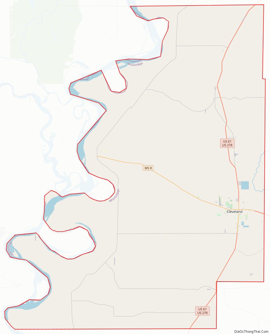
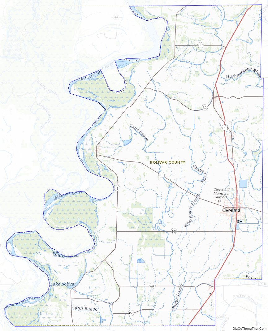
Bolivar County Road Map
Geography
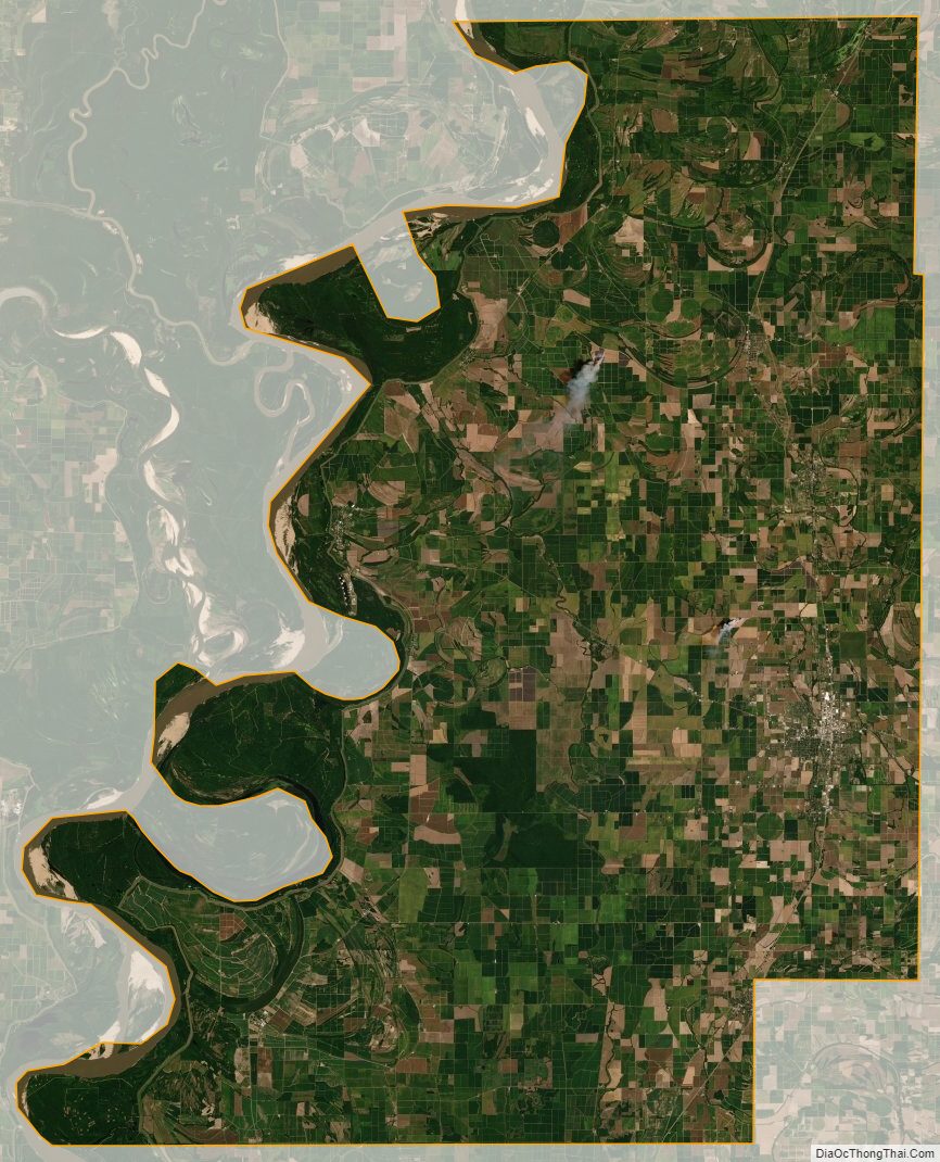
According to the U.S. Census Bureau, the county has a total area of 906 square miles (2,350 km), of which 877 square miles (2,270 km) is land and 29 square miles (75 km) (3.2%) is water. It is the second-largest county in Mississippi by land area and fourth-largest by total area.
Major highways
- Future Interstate 69
- U.S. Route 61
- Mississippi Highway 1
- Mississippi Highway 8
- Mississippi Highway 32
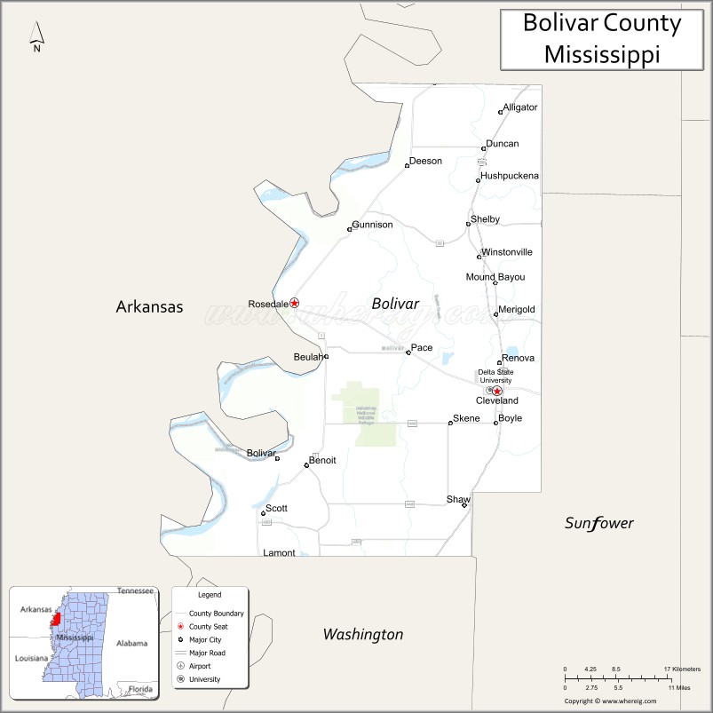
Adjacent counties
- Coahoma County (north)
- Sunflower County (east)
- Washington County (south)
- Desha County, Arkansas (west)
National protected area
- Dahomey National Wildlife Refuge
Bolivar County Topographic Map
Bolivar County Satellite Map
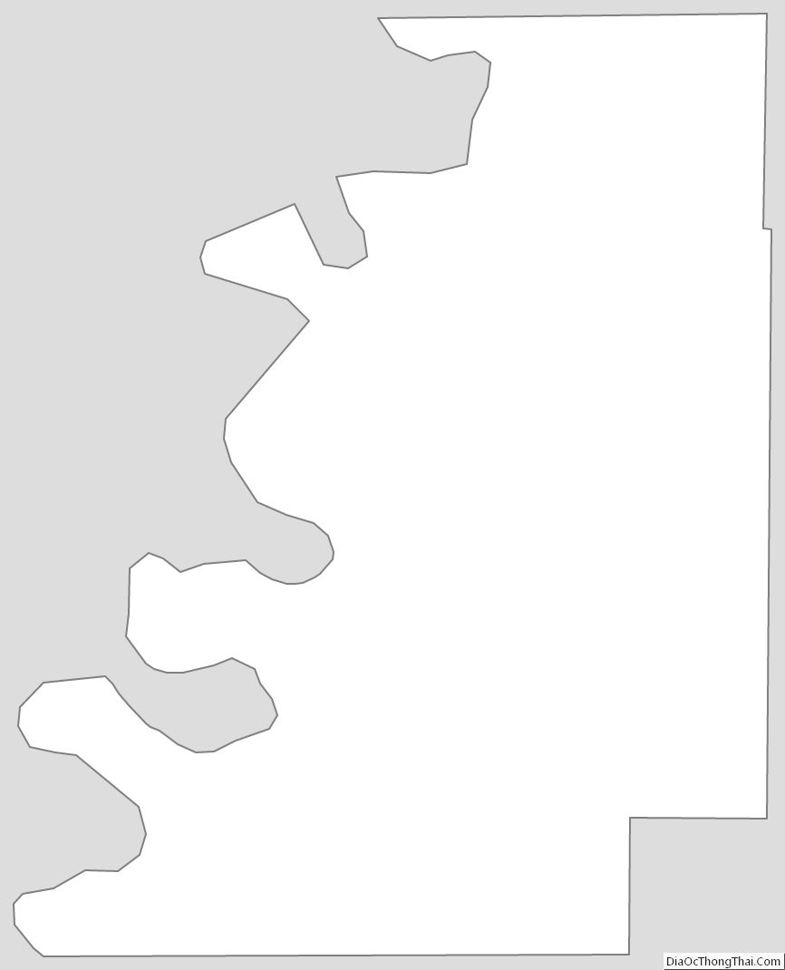
Bolivar County Outline Map
See also
Map of Mississippi State and its subdivision:- Adams
- Alcorn
- Amite
- Attala
- Benton
- Bolivar
- Calhoun
- Carroll
- Chickasaw
- Choctaw
- Claiborne
- Clarke
- Clay
- Coahoma
- Copiah
- Covington
- Desoto
- Forrest
- Franklin
- George
- Greene
- Grenada
- Hancock
- Harrison
- Hinds
- Holmes
- Humphreys
- Issaquena
- Itawamba
- Jackson
- Jasper
- Jefferson
- Jefferson Davis
- Jones
- Kemper
- Lafayette
- Lamar
- Lauderdale
- Lawrence
- Leake
- Lee
- Leflore
- Lincoln
- Lowndes
- Madison
- Marion
- Marshall
- Monroe
- Montgomery
- Neshoba
- Newton
- Noxubee
- Oktibbeha
- Panola
- Pearl River
- Perry
- Pike
- Pontotoc
- Prentiss
- Quitman
- Rankin
- Scott
- Sharkey
- Simpson
- Smith
- Stone
- Sunflower
- Tallahatchie
- Tate
- Tippah
- Tishomingo
- Tunica
- Union
- Walthall
- Warren
- Washington
- Wayne
- Webster
- Wilkinson
- Winston
- Yalobusha
- Yazoo
- Alabama
- Alaska
- Arizona
- Arkansas
- California
- Colorado
- Connecticut
- Delaware
- District of Columbia
- Florida
- Georgia
- Hawaii
- Idaho
- Illinois
- Indiana
- Iowa
- Kansas
- Kentucky
- Louisiana
- Maine
- Maryland
- Massachusetts
- Michigan
- Minnesota
- Mississippi
- Missouri
- Montana
- Nebraska
- Nevada
- New Hampshire
- New Jersey
- New Mexico
- New York
- North Carolina
- North Dakota
- Ohio
- Oklahoma
- Oregon
- Pennsylvania
- Rhode Island
- South Carolina
- South Dakota
- Tennessee
- Texas
- Utah
- Vermont
- Virginia
- Washington
- West Virginia
- Wisconsin
- Wyoming