| Name: | Bradford County |
|---|---|
| FIPS code: | 12-007 |
| State: | Florida |
| Founded: | December 31, 1858 |
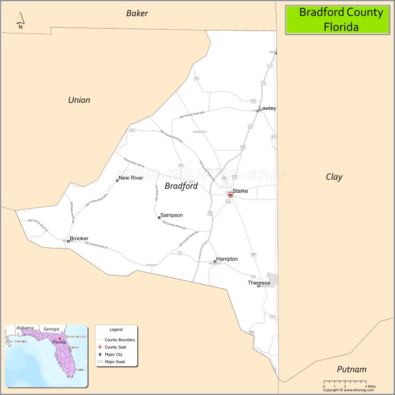
| Seat: | Starke |
| Largest city: | Starke |
| Total Area: | 300 sq mi (800 km²) |
| Land Area: | 294 sq mi (760 km²) |
| Total Population: | 28,303 |
| Population Density: | 91/sq mi (35/km²) |
| Time zone: | UTC−5 (Eastern) |
| Summer Time Zone (DST): | UTC−4 (EDT) |
| Website: | www.bradfordcountyfl.gov |
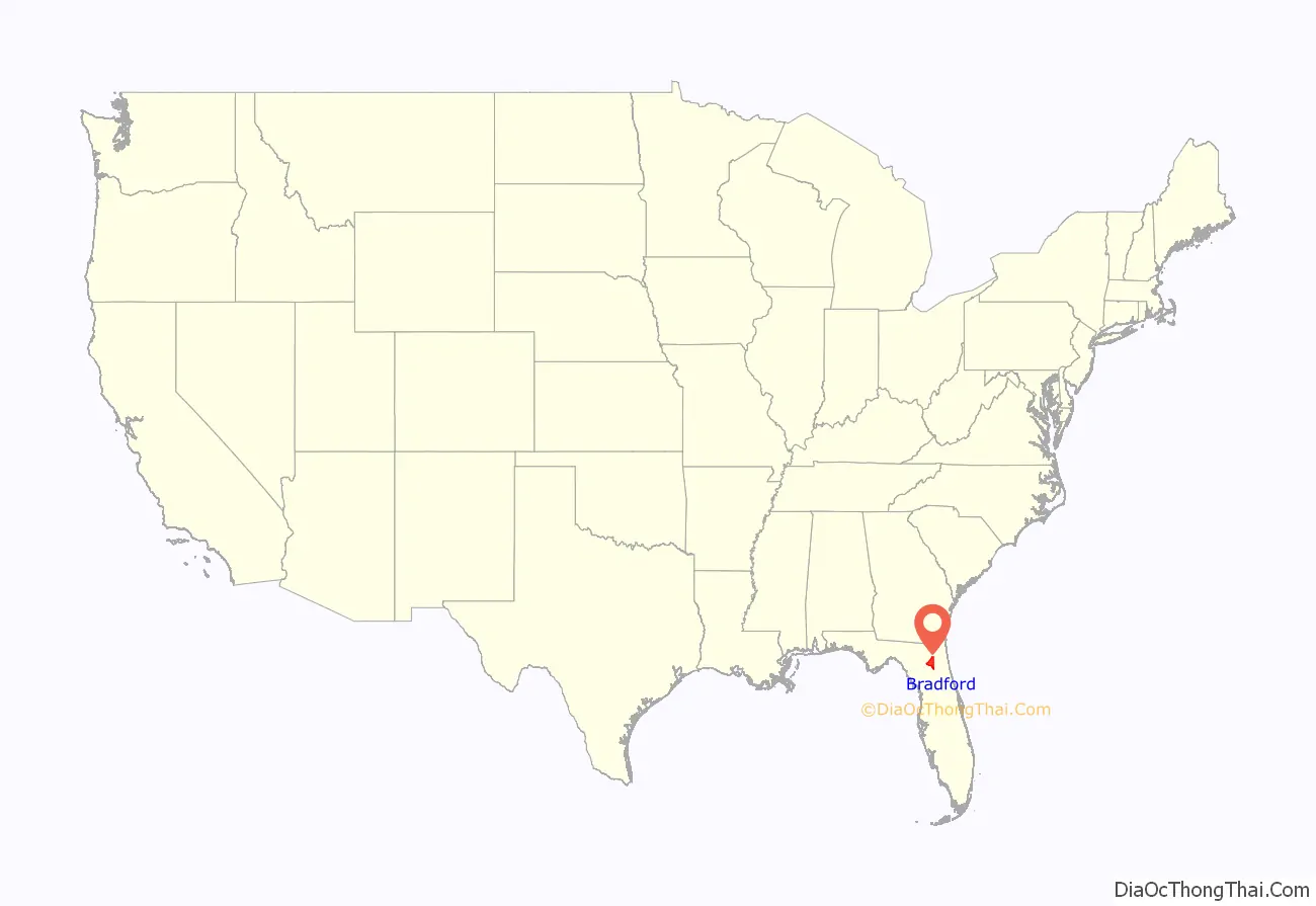
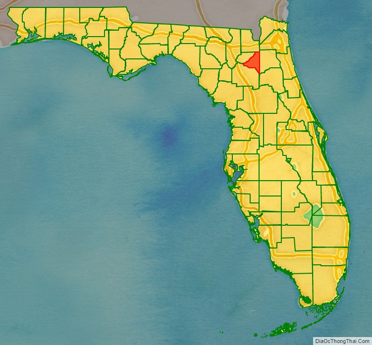
Bradford County location map. Where is Bradford County?
History
New River County, as it was known at the time, was created in 1858 from segments of Columbia and Alachua counties. It was renamed Bradford County in 1861 in honor of Confederate Captain Richard Bradford, who fought in the American Civil War and was killed in the Battle of Santa Rosa Island, becoming the first officer from Florida to die during the Civil War.
During the county’s early history, Lake Butler served as the county seat. However, the growth of Starke as an important city on the Fernandina to Cedar Key railroad led to an 1875 vote on the location of the county seat, with Starke winning by 46 votes. A successful legal challenge brought the county seat back to Lake Butler, and an 1885 referendum reaffirmed the move by 19 votes.
Yet another referendum was held in 1887, and saw the courthouse and county seat moved back to Starke, where it would remain. The dispute brought on the attention of the Florida Legislature, and in 1921, the western portion of Bradford County and Lake Butler were separated to form Union County.
The county was home to numerous citrus farms in its early days prior to the Great Freeze in the winter of 1894-1895. Even after the freeze, Starke and Lawtey continued to be major regional agricultural producers, with the primary exports being cotton, tobacco, and strawberries.
Significant growth would come to the county during the World War II era, with the construction of U.S. Route 301 and nearby Camp Blanding.
Post-war, the county saw the construction of Florida State Prison on the Bradford-Union County line in Raiford, along with several moments in the national media spotlight. Ted Bundy was executed at the prison in 1989, while Starke and Bradford County faced a series lawsuits in the 2000s over a cross on the city’s water tower and a Ten Commandments statue in front of the county courthouse.
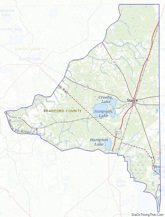
Bradford County Road Map
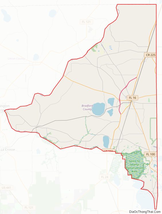
Geography
According to the U.S. Census Bureau, the county has a total area of 300 square miles (780 km), of which 294 square miles (760 km) is land and 6.5 square miles (17 km) (2.2%) is water. It is the third-smallest county in Florida by land area and second-smallest by total area.
Adjacent counties
- Baker County, Florida – north
- Clay County, Florida – east
- Putnam County, Florida – southeast
- Alachua County, Florida – south
- Union County, Florida – west
- Duval County, Florida – northeast
National protected area
- Osceola National Forest (part)
Bradford County Topographic Map
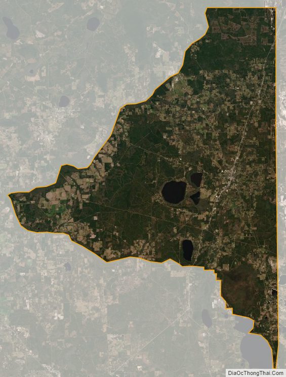
Bradford County Satellite Map
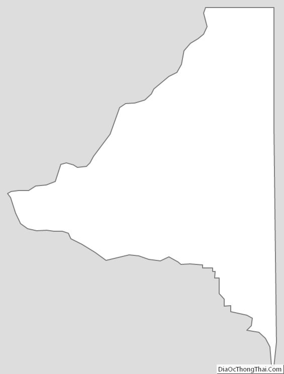
Bradford County Outline Map
See also
Map of Florida State and its subdivision:- Alachua
- Baker
- Bay
- Bradford
- Brevard
- Broward
- Calhoun
- Charlotte
- Citrus
- Clay
- Collier
- Columbia
- Desoto
- Dixie
- Duval
- Escambia
- Flagler
- Franklin
- Gadsden
- Gilchrist
- Glades
- Gulf
- Hamilton
- Hardee
- Hendry
- Hernando
- Highlands
- Hillsborough
- Holmes
- Indian River
- Jackson
- Jefferson
- Lafayette
- Lake
- Lee
- Leon
- Levy
- Liberty
- Madison
- Manatee
- Marion
- Martin
- Miami-Dade
- Monroe
- Nassau
- Okaloosa
- Okeechobee
- Orange
- Osceola
- Palm Beach
- Pasco
- Pinellas
- Polk
- Putnam
- Saint Johns
- Saint Lucie
- Santa Rosa
- Sarasota
- Seminole
- Sumter
- Suwannee
- Taylor
- Union
- Volusia
- Wakulla
- Walton
- Washington
- Alabama
- Alaska
- Arizona
- Arkansas
- California
- Colorado
- Connecticut
- Delaware
- District of Columbia
- Florida
- Georgia
- Hawaii
- Idaho
- Illinois
- Indiana
- Iowa
- Kansas
- Kentucky
- Louisiana
- Maine
- Maryland
- Massachusetts
- Michigan
- Minnesota
- Mississippi
- Missouri
- Montana
- Nebraska
- Nevada
- New Hampshire
- New Jersey
- New Mexico
- New York
- North Carolina
- North Dakota
- Ohio
- Oklahoma
- Oregon
- Pennsylvania
- Rhode Island
- South Carolina
- South Dakota
- Tennessee
- Texas
- Utah
- Vermont
- Virginia
- Washington
- West Virginia
- Wisconsin
- Wyoming