Brown County is a county in the U.S. state of Nebraska. As of the 2010 United States Census, the population was 3,145. Its county seat is Ainsworth. The county was established in 1883 and named for two members of the legislature who reported the bill for the county’s organization.
In the Nebraska license plate system, Brown County is represented by the prefix 75 (it had the 75th-largest number of vehicles registered in the county when the license plate system was established in 1922).
| Name: | Brown County |
|---|---|
| FIPS code: | 31-017 |
| State: | Nebraska |
| Founded: | 1883 |
| Seat: | Ainsworth |
| Largest city: | Ainsworth |
| Total Area: | 1,225 sq mi (3,170 km²) |
| Land Area: | 1,221 sq mi (3,160 km²) |
| Total Population: | 2,908 |
| Population Density: | 2.47/sq mi (0.95/km²) |
| Time zone: | UTC−6 (Central) |
| Summer Time Zone (DST): | UTC−5 (CDT) |
| Website: | www.browncounty.ne.gov |
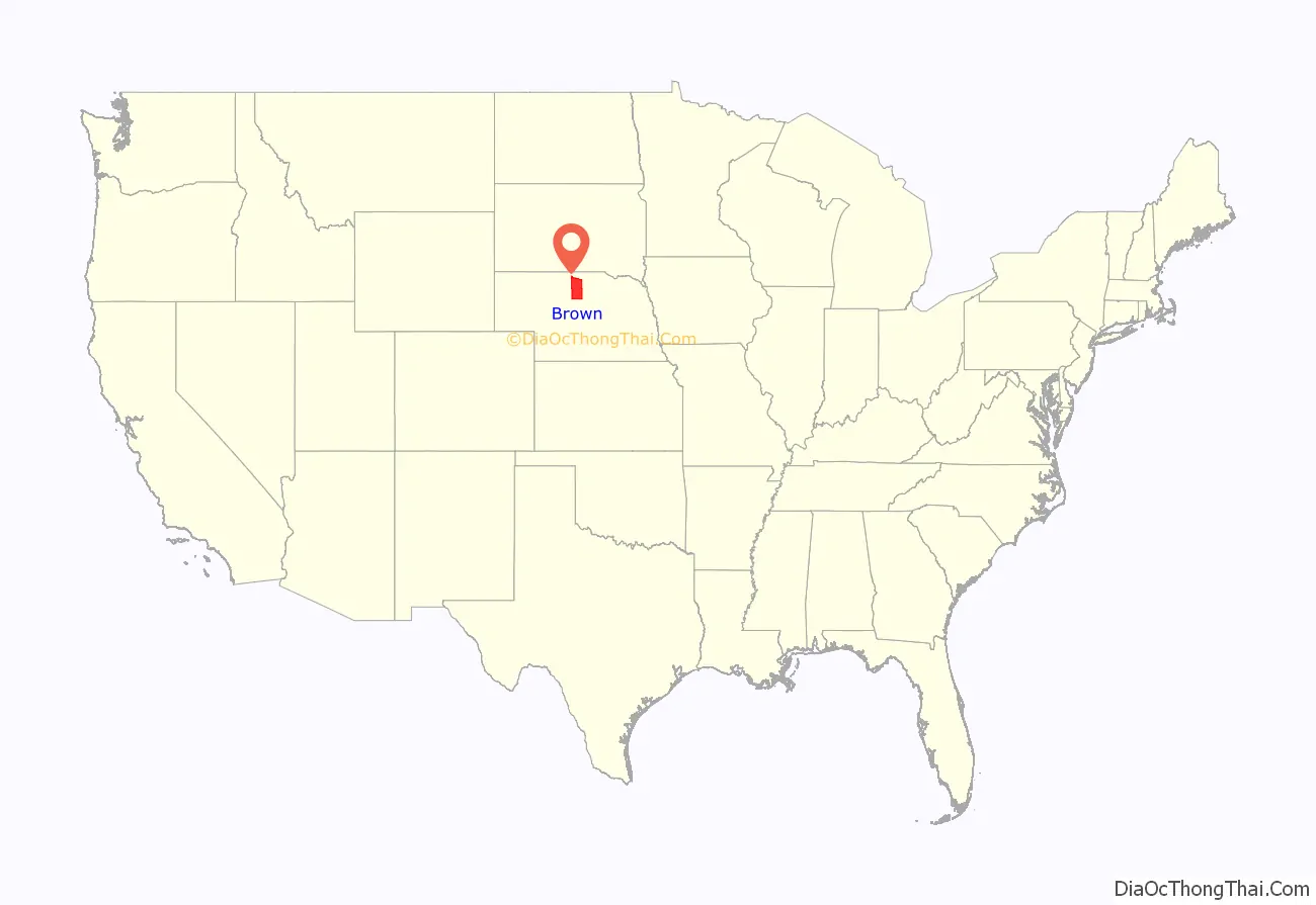
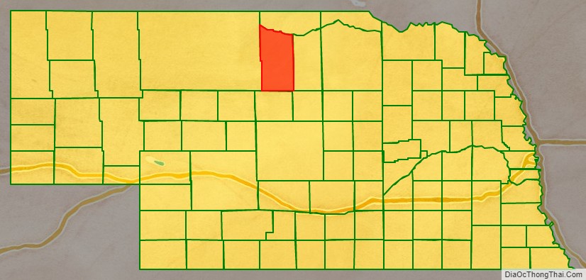
Brown County location map. Where is Brown County?
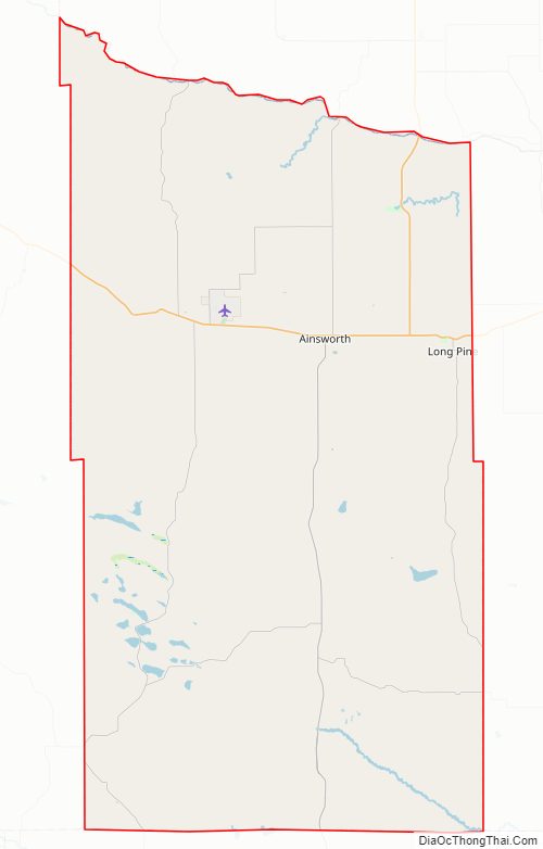
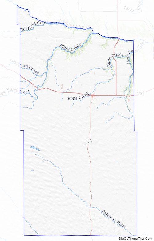
Brown County Road Map
Geography
According to the US Census Bureau, the county has an area of 1,225 square miles (3,170 km), of which 1,221 square miles (3,160 km) is land and 3.8 square miles (9.8 km) (0.3%) is water.
Brown County is located in Nebraska’s Outback region.
Major highways
- U.S. Highway 20
- U.S. Highway 183
- Nebraska Highway 7
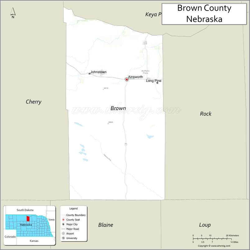
Adjacent counties
- Keya Paha County – north
- Rock County – east
- Loup County – southeast
- Blaine County – south
- Cherry County – west
National protected area
- Niobrara National Scenic River (part)
Brown County Topographic Map
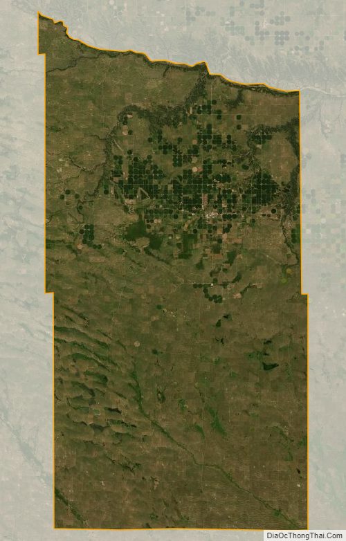
Brown County Satellite Map
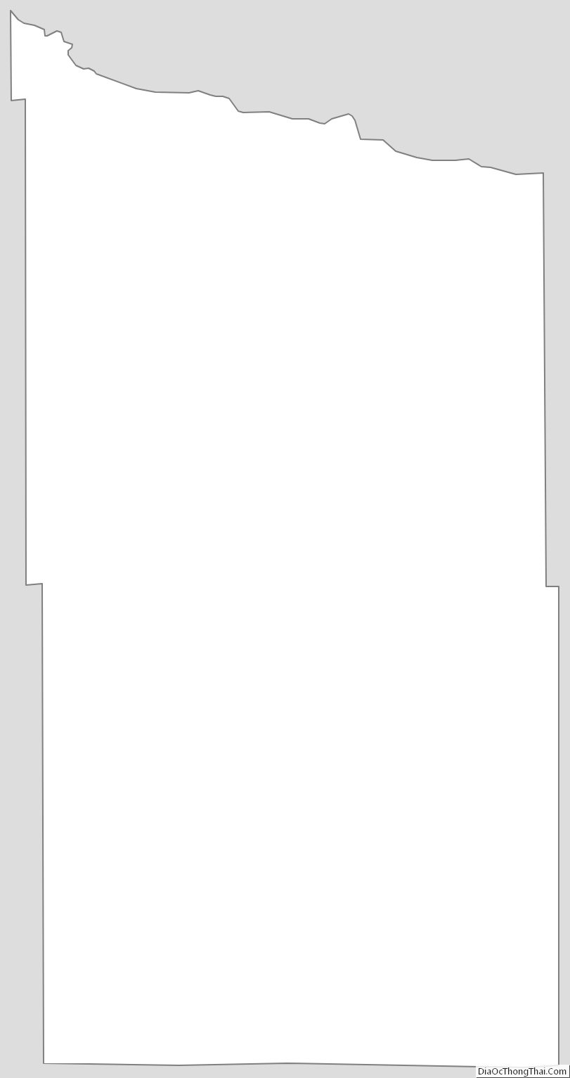
Brown County Outline Map
See also
Map of Nebraska State and its subdivision:- Adams
- Antelope
- Arthur
- Banner
- Blaine
- Boone
- Box Butte
- Boyd
- Brown
- Buffalo
- Burt
- Butler
- Cass
- Cedar
- Chase
- Cherry
- Cheyenne
- Clay
- Colfax
- Cuming
- Custer
- Dakota
- Dawes
- Dawson
- Deuel
- Dixon
- Dodge
- Douglas
- Dundy
- Fillmore
- Franklin
- Frontier
- Furnas
- Gage
- Garden
- Garfield
- Gosper
- Grant
- Greeley
- Hall
- Hamilton
- Harlan
- Hayes
- Hitchcock
- Holt
- Hooker
- Howard
- Jefferson
- Johnson
- Kearney
- Keith
- Keya Paha
- Kimball
- Knox
- Lancaster
- Lincoln
- Logan
- Loup
- Madison
- McPherson
- Merrick
- Morrill
- Nance
- Nemaha
- Nuckolls
- Otoe
- Pawnee
- Perkins
- Phelps
- Pierce
- Platte
- Polk
- Red Willow
- Richardson
- Rock
- Saline
- Sarpy
- Saunders
- Scotts Bluff
- Seward
- Sheridan
- Sherman
- Sioux
- Stanton
- Thayer
- Thomas
- Thurston
- Valley
- Washington
- Wayne
- Webster
- Wheeler
- York
- Alabama
- Alaska
- Arizona
- Arkansas
- California
- Colorado
- Connecticut
- Delaware
- District of Columbia
- Florida
- Georgia
- Hawaii
- Idaho
- Illinois
- Indiana
- Iowa
- Kansas
- Kentucky
- Louisiana
- Maine
- Maryland
- Massachusetts
- Michigan
- Minnesota
- Mississippi
- Missouri
- Montana
- Nebraska
- Nevada
- New Hampshire
- New Jersey
- New Mexico
- New York
- North Carolina
- North Dakota
- Ohio
- Oklahoma
- Oregon
- Pennsylvania
- Rhode Island
- South Carolina
- South Dakota
- Tennessee
- Texas
- Utah
- Vermont
- Virginia
- Washington
- West Virginia
- Wisconsin
- Wyoming