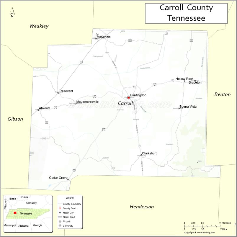
Carroll County is a county located in the western division of the U.S. state of Tennessee. As of the 2020 census, the population was 28,440. Its county seat is Huntingdon. The county was established by the Tennessee General Assembly on November 7, 1821, and was named for Governor William Carroll.
| Name: | Carroll County |
|---|---|
| FIPS code: | 47-017 |
| State: | Tennessee |
| Founded: | November 7, 1821 |
| Named for: | William Carroll |
| Seat: | Huntingdon |
| Largest city: | McKenzie |
| Total Area: | 600 sq mi (2,000 km²) |
| Land Area: | 599 sq mi (1,550 km²) |
| Total Population: | 28,440 |
| Population Density: | 48/sq mi (19/km²) |
| Time zone: | UTC−6 (Central) |
| Summer Time Zone (DST): | UTC−5 (CDT) |
| Website: | carrollcountytn.gov |
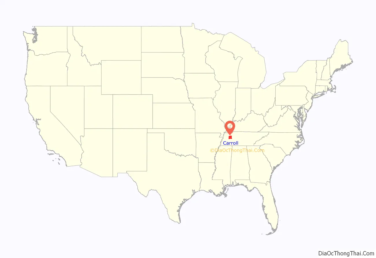
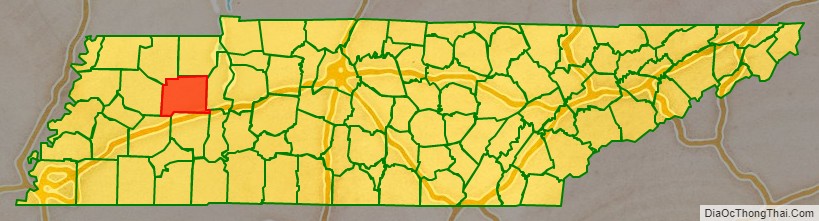
Carroll County location map. Where is Carroll County?
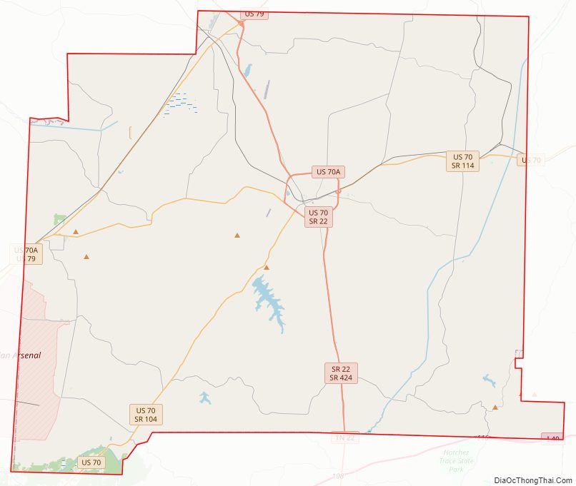
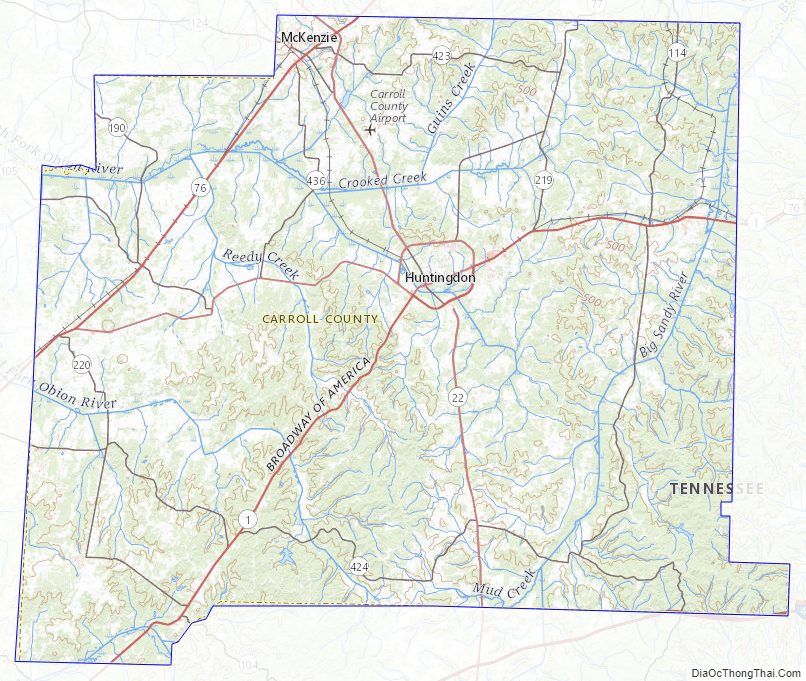
Carroll County Road Map
Geography
According to the U.S. Census Bureau, the county has a total area of 600 square miles (1,600 km), of which 599 square miles (1,550 km) is land and 0.8 square miles (2.1 km) (0.1%) is water.
Carroll County Topographic Map
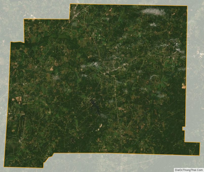
Carroll County Satellite Map
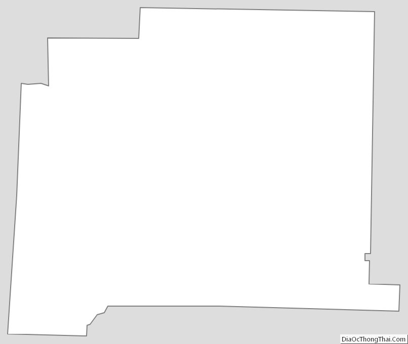
Carroll County Outline Map
See also
Map of Tennessee State and its subdivision:- Anderson
- Bedford
- Benton
- Bledsoe
- Blount
- Bradley
- Campbell
- Cannon
- Carroll
- Carter
- Cheatham
- Chester
- Claiborne
- Clay
- Cocke
- Coffee
- Crockett
- Cumberland
- Davidson
- Decatur
- DeKalb
- Dickson
- Dyer
- Fayette
- Fentress
- Franklin
- Gibson
- Giles
- Grainger
- Greene
- Grundy
- Hamblen
- Hamilton
- Hancock
- Hardeman
- Hardin
- Hawkins
- Haywood
- Henderson
- Henry
- Hickman
- Houston
- Humphreys
- Jackson
- Jefferson
- Johnson
- Knox
- Lake
- Lauderdale
- Lawrence
- Lewis
- Lincoln
- Loudon
- Macon
- Madison
- Marion
- Marshall
- Maury
- McMinn
- McNairy
- Meigs
- Monroe
- Montgomery
- Moore
- Morgan
- Obion
- Overton
- Perry
- Pickett
- Polk
- Putnam
- Rhea
- Roane
- Robertson
- Rutherford
- Scott
- Sequatchie
- Sevier
- Shelby
- Smith
- Stewart
- Sullivan
- Sumner
- Tipton
- Trousdale
- Unicoi
- Union
- Van Buren
- Warren
- Washington
- Wayne
- Weakley
- White
- Williamson
- Wilson
- Alabama
- Alaska
- Arizona
- Arkansas
- California
- Colorado
- Connecticut
- Delaware
- District of Columbia
- Florida
- Georgia
- Hawaii
- Idaho
- Illinois
- Indiana
- Iowa
- Kansas
- Kentucky
- Louisiana
- Maine
- Maryland
- Massachusetts
- Michigan
- Minnesota
- Mississippi
- Missouri
- Montana
- Nebraska
- Nevada
- New Hampshire
- New Jersey
- New Mexico
- New York
- North Carolina
- North Dakota
- Ohio
- Oklahoma
- Oregon
- Pennsylvania
- Rhode Island
- South Carolina
- South Dakota
- Tennessee
- Texas
- Utah
- Vermont
- Virginia
- Washington
- West Virginia
- Wisconsin
- Wyoming