Cass County is a county in the central part of the U.S. state of Minnesota. As of the 2020 census, the population was 30,066. Its county seat is Walker. The county was formed in 1851, and was organized in 1897.
Cass County is included in the Brainerd, MN Micropolitan Statistical Area.
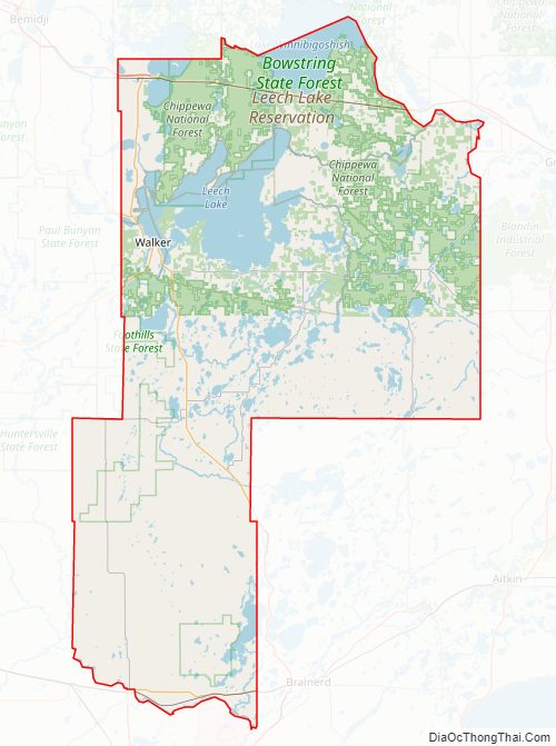
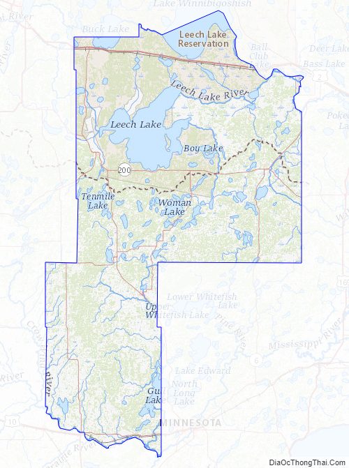
A substantial part of the Leech Lake Indian Reservation is in the county.
| Name: | Cass County |
|---|---|
| FIPS code: | 27-021 |
| State: | Minnesota |
| Founded: | 1851 |
| Named for: | Lewis Cass |
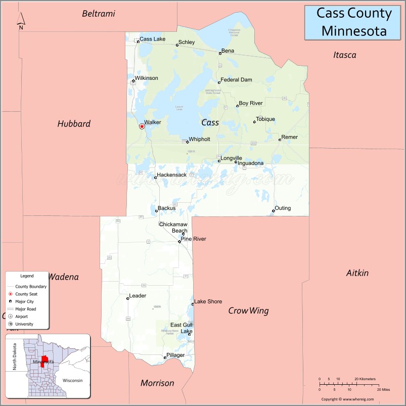
| Seat: | Walker |
| Largest city: | Lake Shore |
| Total Area: | 2,414 sq mi (6,250 km²) |
| Land Area: | 2,022 sq mi (5,240 km²) |
| Total Population: | 30,066 |
| Population Density: | 14.9/sq mi (5.8/km²) |
| Time zone: | UTC−6 (Central) |
| Summer Time Zone (DST): | UTC−5 (CDT) |
| Website: | www.co.cass.mn.us |
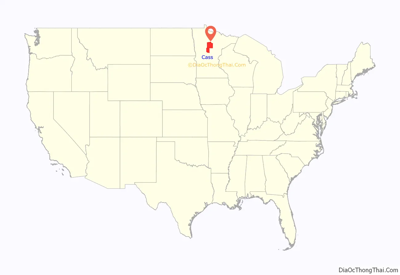
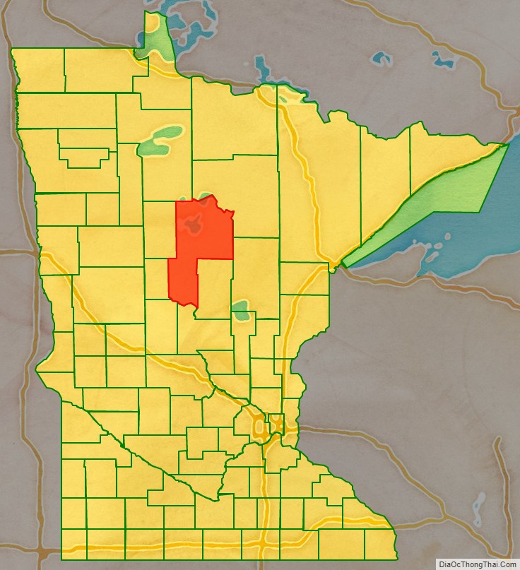
Cass County location map. Where is Cass County?
History
Cass County was created on September 1, 1851, by the Minnesota Territory legislature, although its government was not organized until 1897. The county was formed of areas partitioned from Dakota, Mahkatah, Pembina and Wahnata Counties. It was named for Lewis Cass, a Michigan political figure of the 19th century. Before it was organized several parcels of county land were partitioned off to augment or form adjacent counties.
Cass County Road Map
Geography
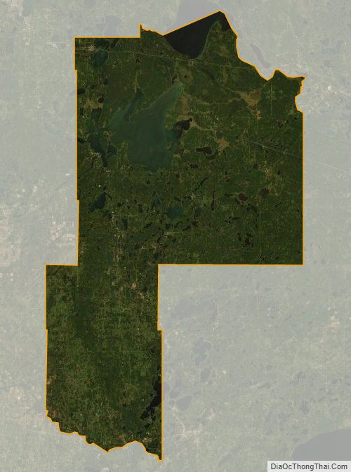
The Crow Wing River flows east-southeast along Cass County’s southern border, and the Gull River flows southwest through the lower part, to discharge into the Crow Wing on the southern border. The terrain consists of wooded rolling hills, heavily dotted with lakes and ponds, and slopes to the south and east; its highest point is on the upper western border, at 1,614′ (492m) ASL. The county has an area of 2,414 square miles (6,250 km), of which 2,022 square miles (5,240 km) is land and 393 square miles (1,020 km) (16%) is water.
Major highways
- US Highway 2
- Minnesota State Highway 6
- Minnesota State Highway 34
- Minnesota State Highway 64
- Minnesota State Highway 84
- Minnesota State Highway 87
- Minnesota State Highway 200
- Minnesota State Highway 210
- Minnesota State Highway 371
- List of county roads
Adjacent counties
- Itasca County – northeast
- Aitkin County – east
- Crow Wing County – southeast
- Morrison County – south
- Todd County – southwest
- Wadena County – west
- Hubbard County – northwest
- Beltrami County – north
Protected areas
- Buena Vista State Forest (part)
- Chippewa National Forest (part)
- Crow Wing State Park (part)
- Foot Hills State Forest (part)
Cass County Topographic Map
Cass County Satellite Map
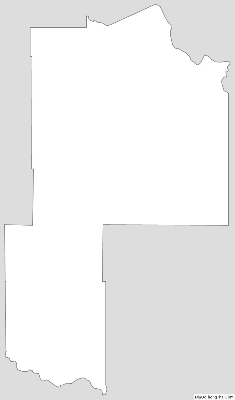
Cass County Outline Map
See also
Map of Minnesota State and its subdivision:- Aitkin
- Anoka
- Becker
- Beltrami
- Benton
- Big Stone
- Blue Earth
- Brown
- Carlton
- Carver
- Cass
- Chippewa
- Chisago
- Clay
- Clearwater
- Cook
- Cottonwood
- Crow Wing
- Dakota
- Dodge
- Douglas
- Faribault
- Fillmore
- Freeborn
- Goodhue
- Grant
- Hennepin
- Houston
- Hubbard
- Isanti
- Itasca
- Jackson
- Kanabec
- Kandiyohi
- Kittson
- Koochiching
- Lac qui Parle
- Lake
- Lake of the Woods
- Lake Superior
- Le Sueur
- Lincoln
- Lyon
- Mahnomen
- Marshall
- Martin
- McLeod
- Meeker
- Mille Lacs
- Morrison
- Mower
- Murray
- Nicollet
- Nobles
- Norman
- Olmsted
- Otter Tail
- Pennington
- Pine
- Pipestone
- Polk
- Pope
- Ramsey
- Red Lake
- Redwood
- Renville
- Rice
- Rock
- Roseau
- Saint Louis
- Scott
- Sherburne
- Sibley
- Stearns
- Steele
- Stevens
- Swift
- Todd
- Traverse
- Wabasha
- Wadena
- Waseca
- Washington
- Watonwan
- Wilkin
- Winona
- Wright
- Yellow Medicine
- Alabama
- Alaska
- Arizona
- Arkansas
- California
- Colorado
- Connecticut
- Delaware
- District of Columbia
- Florida
- Georgia
- Hawaii
- Idaho
- Illinois
- Indiana
- Iowa
- Kansas
- Kentucky
- Louisiana
- Maine
- Maryland
- Massachusetts
- Michigan
- Minnesota
- Mississippi
- Missouri
- Montana
- Nebraska
- Nevada
- New Hampshire
- New Jersey
- New Mexico
- New York
- North Carolina
- North Dakota
- Ohio
- Oklahoma
- Oregon
- Pennsylvania
- Rhode Island
- South Carolina
- South Dakota
- Tennessee
- Texas
- Utah
- Vermont
- Virginia
- Washington
- West Virginia
- Wisconsin
- Wyoming