Catawba County is a county in the U.S. state of North Carolina. As of the 2020 census, the population was 160,610. Its county seat is Newton, and its largest city is Hickory. The county is part of the Hickory–Lenoir–Morganton, NC Metropolitan Statistical Area.
| Name: | Catawba County |
|---|---|
| FIPS code: | 37-035 |
| State: | North Carolina |
| Founded: | 1842 |
| Named for: | Catawba Tribe |
| Seat: | Newton |
| Largest city: | Hickory |
| Total Area: | 413 sq mi (1,070 km²) |
| Land Area: | 399 sq mi (1,030 km²) |
| Total Population: | 161,723 |
| Population Density: | 405.3/sq mi (156.5/km²) |
| Time zone: | UTC−5 (Eastern) |
| Summer Time Zone (DST): | UTC−4 (EDT) |
| Website: | www.catawbacountync.gov |
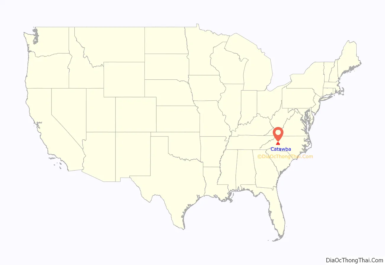
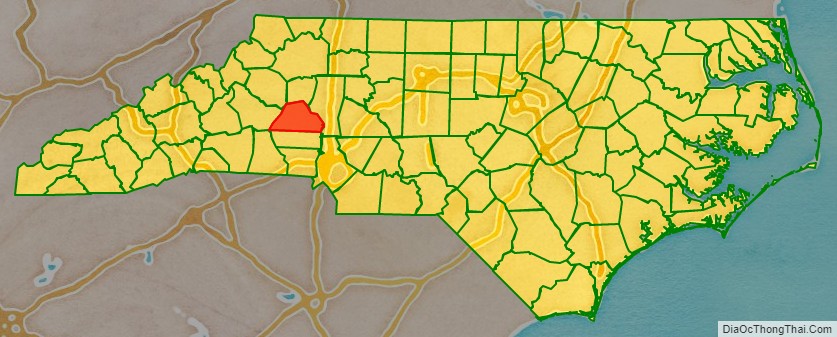
Catawba County location map. Where is Catawba County?
History
Catawba County formed in 1842 from Lincoln County, was named after the Catawba River. The word “catawba” is rooted in the Choctaw sound kat’a pa, loosely translated as “to divide or separate, to break.” However, scholars are fairly certain that this word was imposed from outside. The Native Americans who once inhabited the region known as the Catawba people, were considered one of the most powerful Southeastern Siouan-speaking tribes in the Carolina Piedmont. They now live along the border of North Carolina, near the city of Rock Hill, South Carolina. Scots-Irish and German colonial immigrants first settled in the Catawba River valley in the mid-18th century. An official history of the Scots-Irish and German settlement was documented in 1954, by Charles J. Preslar Jr, and more recently by a series of three books by Gary Freeze, called The Catawbans.
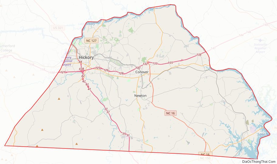
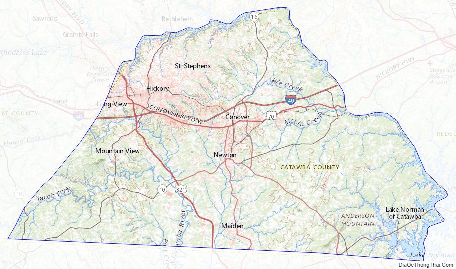
Catawba County Road Map
Geography
According to the U.S. Census Bureau, the county has a total area of 413 square miles (1,070 km), of which 399 square miles (1,030 km) is land and 15 square miles (39 km) (3.6%) is water.
State and local protected areas/sites
- Houck’s Chapel
- Mountain Creek Park
- Murray’s Mill Historic Site
- Old Hickory Tavern Birthplace of Hickory
- Old Piedmont Wagon
Major water bodies
- Balls Creek
- Betts Creek
- Catawba River
- Clark Creek
- Henry Fork (South Fork Catawba River tributary)
- Jacob Fork (South Fork Catawba River tributary)
- Lake Hickory
- Lake Norman
- Lookout Shoals Lake
- Lyle Creek
- McLin Creek
- Muddy Creek
- Pinch Gut Creek
- Pott Creek
- Snow Creek
- South Fork Catawba River
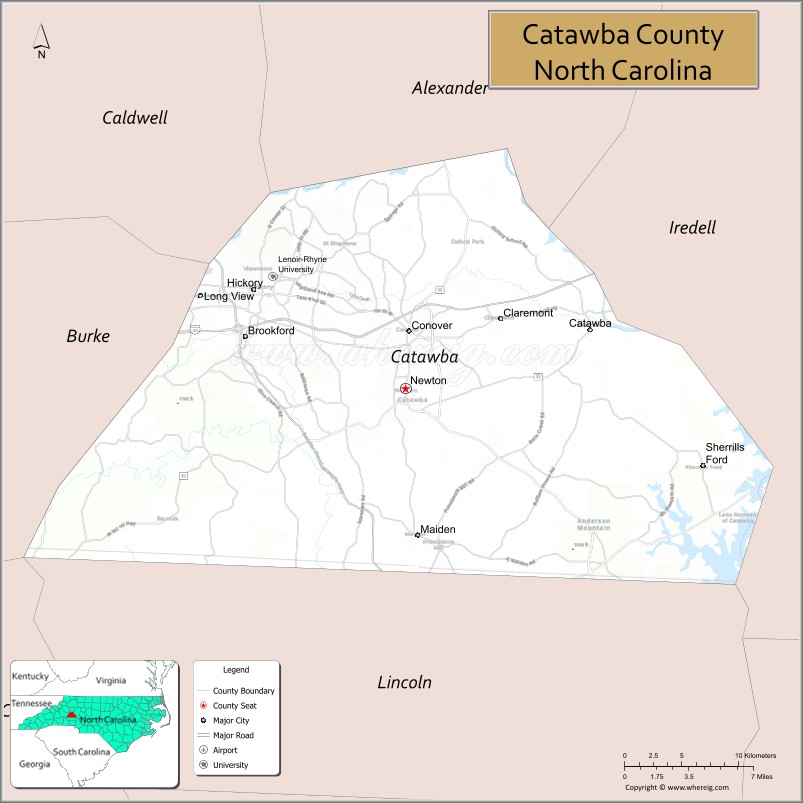
Adjacent counties
- Alexander County – north
- Iredell County – east
- Lincoln County – south
- Caldwell County – northwest
- Burke County – west
Major highways
- I-40
- US 70
- US 321
- US 321 Bus.
- NC 10
- NC 16
- NC 16 Bus. (Lowesville–Denver Business Route)
- NC 16 Bus. (Newton–Conover Business Route)
- NC 16 Truck (Truck Route)
- NC 18
- NC 127
- NC 150
Major infrastructure
- Hickory Regional Airport (partially in Burke County)
Rail and mass transit
With approximately twenty freight trains a day, Catawba County is a freight railroad transportation center. This is largely due to the areas strong manufacturing based economy, and its placement along the Norfolk Southern Railway line. The Caldwell County Railroad also serves the county and interchanges with Norfolk Southern in Hickory.
Conover has been designated as the Catawba County passenger rail stop for the Western North Carolina Railroad planned to run from Salisbury, NC, to Asheville.
The Greenway Public Transportation bus service serves the cities of Conover, Hickory, and Newton.
Catawba County Topographic Map
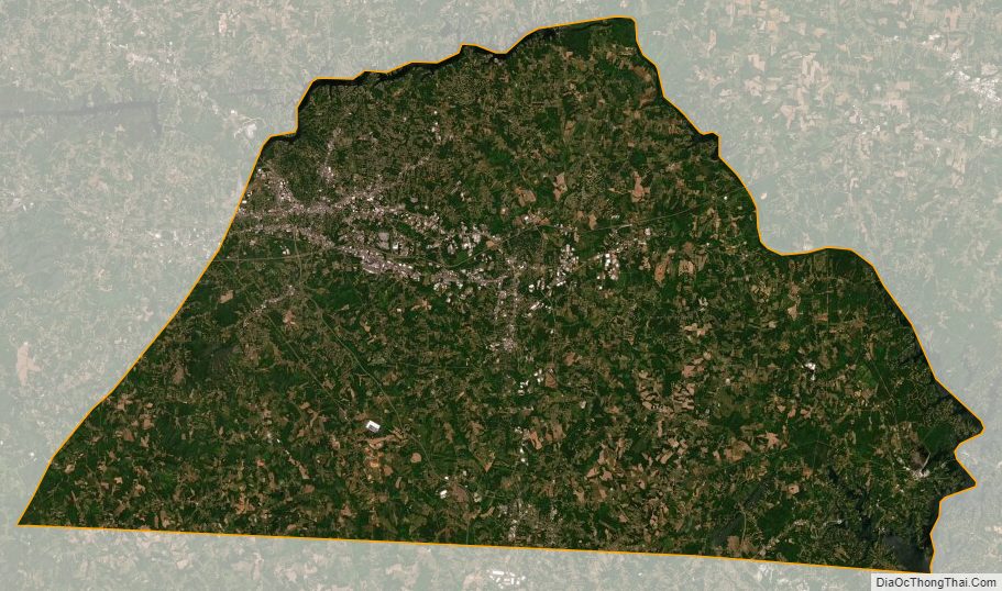
Catawba County Satellite Map
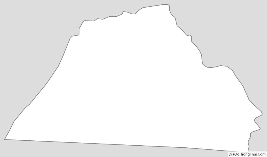
Catawba County Outline Map
See also
Map of North Carolina State and its subdivision:- Alamance
- Alexander
- Alleghany
- Anson
- Ashe
- Avery
- Beaufort
- Bertie
- Bladen
- Brunswick
- Buncombe
- Burke
- Cabarrus
- Caldwell
- Camden
- Carteret
- Caswell
- Catawba
- Chatham
- Cherokee
- Chowan
- Clay
- Cleveland
- Columbus
- Craven
- Cumberland
- Currituck
- Dare
- Davidson
- Davie
- Duplin
- Durham
- Edgecombe
- Forsyth
- Franklin
- Gaston
- Gates
- Graham
- Granville
- Greene
- Guilford
- Halifax
- Harnett
- Haywood
- Henderson
- Hertford
- Hoke
- Hyde
- Iredell
- Jackson
- Johnston
- Jones
- Lee
- Lenoir
- Lincoln
- Macon
- Madison
- Martin
- McDowell
- Mecklenburg
- Mitchell
- Montgomery
- Moore
- Nash
- New Hanover
- Northampton
- Onslow
- Orange
- Pamlico
- Pasquotank
- Pender
- Perquimans
- Person
- Pitt
- Polk
- Randolph
- Richmond
- Robeson
- Rockingham
- Rowan
- Rutherford
- Sampson
- Scotland
- Stanly
- Stokes
- Surry
- Swain
- Transylvania
- Tyrrell
- Union
- Vance
- Wake
- Warren
- Washington
- Watauga
- Wayne
- Wilkes
- Wilson
- Yadkin
- Yancey
- Alabama
- Alaska
- Arizona
- Arkansas
- California
- Colorado
- Connecticut
- Delaware
- District of Columbia
- Florida
- Georgia
- Hawaii
- Idaho
- Illinois
- Indiana
- Iowa
- Kansas
- Kentucky
- Louisiana
- Maine
- Maryland
- Massachusetts
- Michigan
- Minnesota
- Mississippi
- Missouri
- Montana
- Nebraska
- Nevada
- New Hampshire
- New Jersey
- New Mexico
- New York
- North Carolina
- North Dakota
- Ohio
- Oklahoma
- Oregon
- Pennsylvania
- Rhode Island
- South Carolina
- South Dakota
- Tennessee
- Texas
- Utah
- Vermont
- Virginia
- Washington
- West Virginia
- Wisconsin
- Wyoming