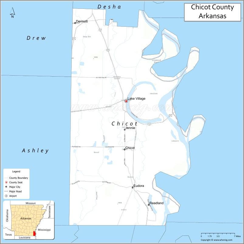
Chicot County (/ˈʃiːkoʊ/ SHE-ko) is a county located in the southeastern corner of the U.S. state of Arkansas. As of the 2020 census, the population was 10,208. The county seat is Lake Village. Chicot County is Arkansas’s 10th county, formed on October 25, 1823, and named after Point Chicot on the Mississippi River. It is part of the Arkansas Delta, lowlands along the river that have been historically important as an area for large-scale cotton cultivation.
Landmarks around the county include Lake Chicot, North America’s largest oxbow lake and Arkansas’s largest natural lake; the site of Charles Lindbergh’s first night-time flight; and the legendary burial site of Hernando De Soto, near Lake Village.
| Name: | Chicot County |
|---|---|
| FIPS code: | 05-017 |
| State: | Arkansas |
| Founded: | October 25, 1823 |
| Seat: | Lake Village |
| Largest city: | Dermott |
| Total Area: | 691 sq mi (1,790 km²) |
| Land Area: | 644 sq mi (1,670 km²) |
| Total Population: | 10,208 |
| Population Density: | 15/sq mi (5.7/km²) |
| Time zone: | UTC−6 (Central) |
| Summer Time Zone (DST): | UTC−5 (CDT) |
| Website: | chicotcounty.arkansas.gov/index |
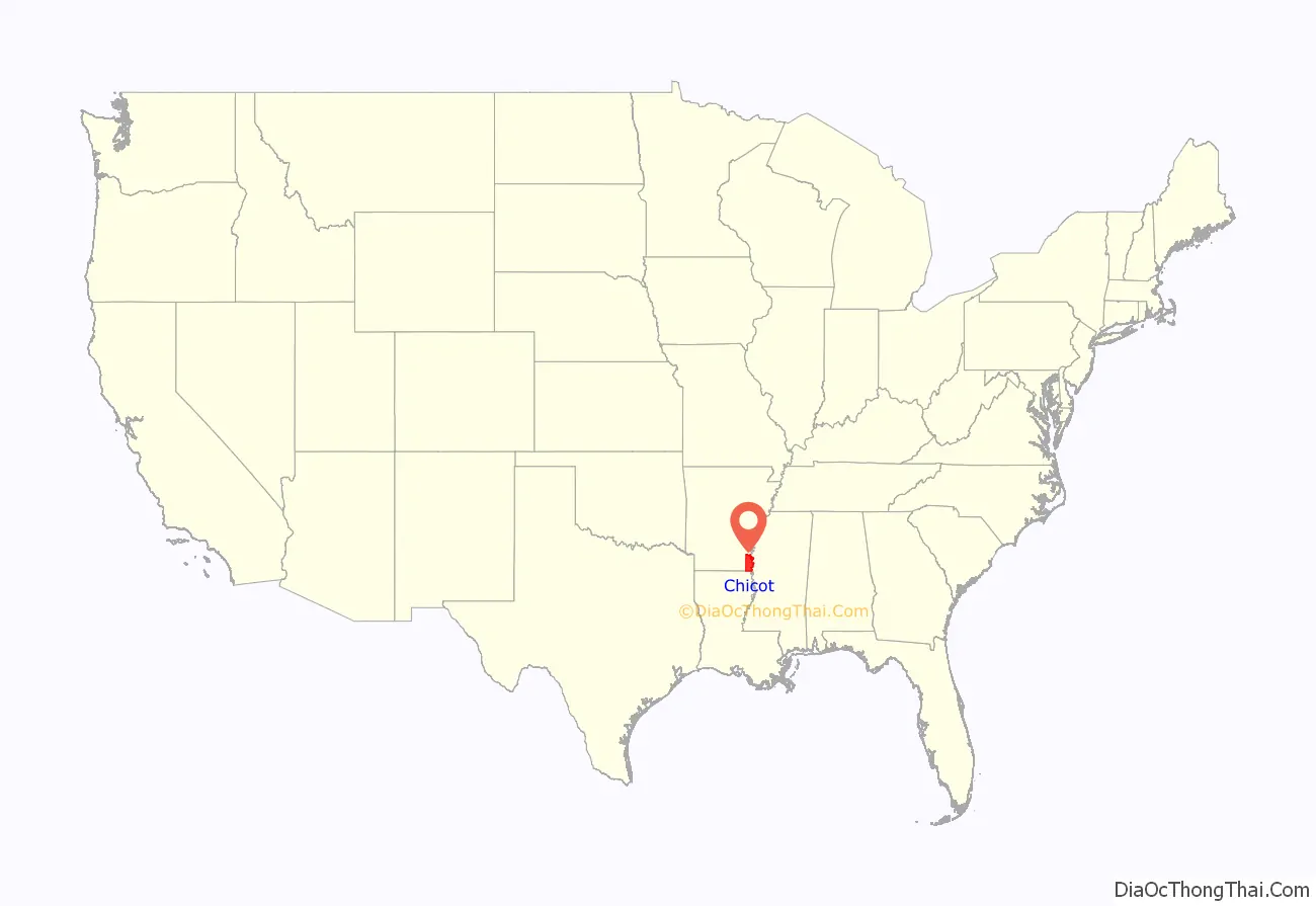
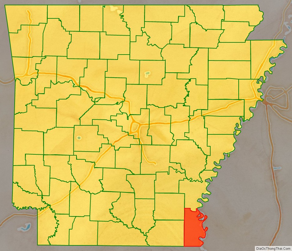
Chicot County location map. Where is Chicot County?
History
Spanish explorer Hernando de Soto came to this area with his expedition in 1542, settling for a time in the village or territory known as Guachoya. The European-American town of Lake Village later developed in the 19th century at Lake Chicot, formed by an oxbow of the Mississippi River. Eighteenth-century French colonists named it Chicot because of the many cypress trees in the waterways. The word is translated to “stumpy, or knobby”.
The area along the Mississippi River and major tributaries was developed as cotton plantations, the major commodity crop before and after the American Civil War of 1861–1865. Enslaved African Americans formed the labor force, comprising a majority of the population in the antebellum years. Major large cotton plantations included Sunnyside (owned in the 20th century by LeRoy Percy, planter and US Senator from Greenville, Mississippi); Florence, Patria, Pastoria, Luna, and Lakeport.
During the war, Union and Confederate forces fought at the Battle of Old River Lake from June 5 to June 6, 1864.
The population of the rural county has declined since its peak in 1940. Earlier in the century, boll weevils threatened the cotton crop, and many African Americans left in the Great Migration for opportunity in northern and midwestern industrial cities. In addition, mechanization of agriculture and consolidation into industrial-style farms has reduced the need for farm labor.
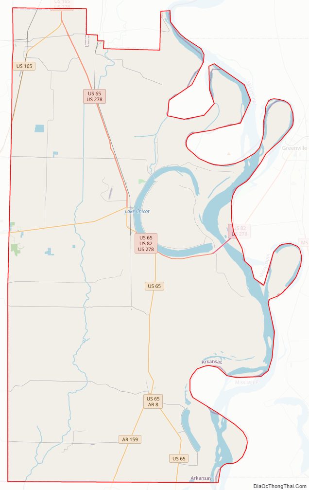
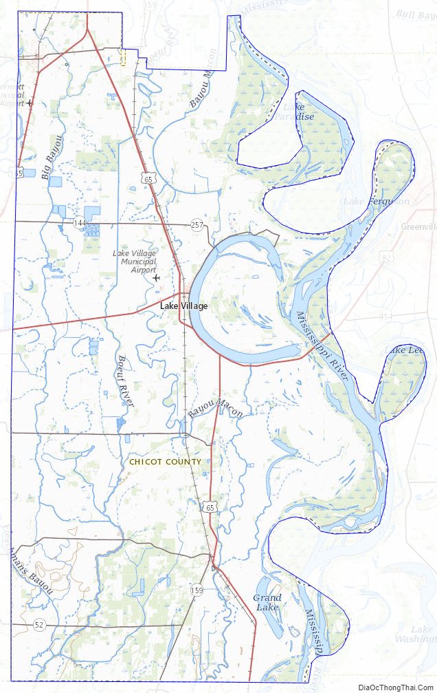
Chicot County Road Map
Geography
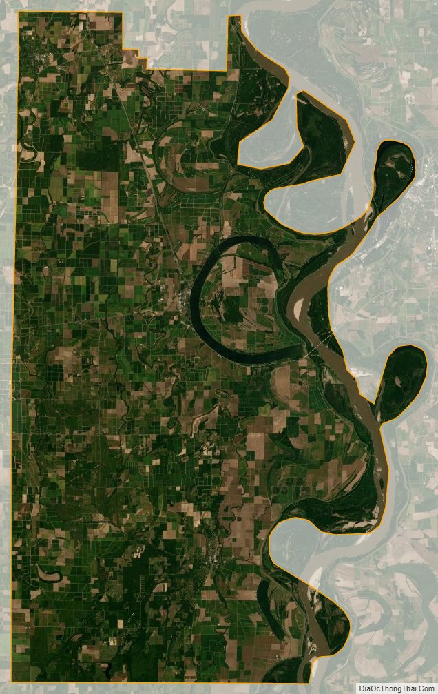
According to the U.S. Census Bureau, the county has a total area of 691 square miles (1,790 km), of which 644 square miles (1,670 km) is land and 47 square miles (120 km) (6.7%) is water.
Major highways
- U.S. Highway 65
- U.S. Highway 82
- U.S. Highway 165
- U.S. Highway 278
- Highway 8
- Highway 35
- Highway 159
- Highway 52
Arkansas 144
Adjacent counties
- Desha County (north)
- Bolivar County, Mississippi (northeast)
- Washington County, Mississippi (east)
- Issaquena County, Mississippi (southeast)
- East Carroll Parish, Louisiana (south)
- West Carroll Parish, Louisiana (south)
- Morehouse Parish, Louisiana (southwest)
- Ashley County (west)
- Drew County (northwest)
Chicot County Topographic Map
Chicot County Satellite Map
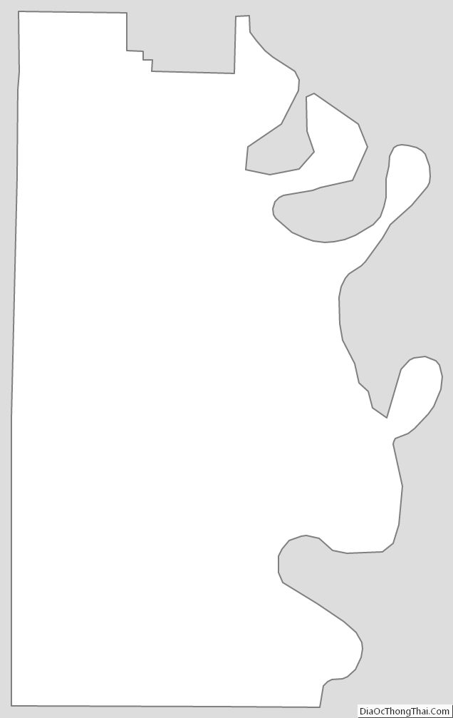
Chicot County Outline Map
See also
Map of Arkansas State and its subdivision:- Arkansas
- Ashley
- Baxter
- Benton
- Boone
- Bradley
- Calhoun
- Carroll
- Chicot
- Clark
- Clay
- Cleburne
- Cleveland
- Columbia
- Conway
- Craighead
- Crawford
- Crittenden
- Cross
- Dallas
- Desha
- Drew
- Faulkner
- Franklin
- Fulton
- Garland
- Grant
- Greene
- Hempstead
- Hot Spring
- Howard
- Independence
- Izard
- Jackson
- Jefferson
- Johnson
- Lafayette
- Lawrence
- Lee
- Lincoln
- Little River
- Logan
- Lonoke
- Madison
- Marion
- Miller
- Mississippi
- Monroe
- Montgomery
- Nevada
- Newton
- Ouachita
- Perry
- Phillips
- Pike
- Poinsett
- Polk
- Pope
- Prairie
- Pulaski
- Randolph
- Saint Francis
- Saline
- Scott
- Searcy
- Sebastian
- Sevier
- Sharp
- Stone
- Union
- Van Buren
- Washington
- White
- Woodruff
- Yell
- Alabama
- Alaska
- Arizona
- Arkansas
- California
- Colorado
- Connecticut
- Delaware
- District of Columbia
- Florida
- Georgia
- Hawaii
- Idaho
- Illinois
- Indiana
- Iowa
- Kansas
- Kentucky
- Louisiana
- Maine
- Maryland
- Massachusetts
- Michigan
- Minnesota
- Mississippi
- Missouri
- Montana
- Nebraska
- Nevada
- New Hampshire
- New Jersey
- New Mexico
- New York
- North Carolina
- North Dakota
- Ohio
- Oklahoma
- Oregon
- Pennsylvania
- Rhode Island
- South Carolina
- South Dakota
- Tennessee
- Texas
- Utah
- Vermont
- Virginia
- Washington
- West Virginia
- Wisconsin
- Wyoming