Chippewa County is a county located in the U.S. state of Wisconsin. It is named for the historic Chippewa people, also known as the Ojibwe, who long controlled this territory. As of the 2020 census, the population was 66,297. Its county seat is Chippewa Falls. The county was founded in 1845 from Crawford County, then in the Wisconsin Territory, and organized in 1853.
Chippewa County is included in the Eau Claire, WI Metropolitan Statistical Area as well as the Eau Claire-Menomonie, WI Combined Statistical Area.
| Name: | Chippewa County |
|---|---|
| FIPS code: | 55-017 |
| State: | Wisconsin |
| Founded: | 1853 |
| Named for: | Ojibwa |
| Seat: | Chippewa Falls |
| Largest city: | Chippewa Falls |
| Total Area: | 1,041 sq mi (2,700 km²) |
| Land Area: | 1,008 sq mi (2,610 km²) |
| Total Population: | 66,297 |
| Population Density: | 65.7/sq mi (25.4/km²) |
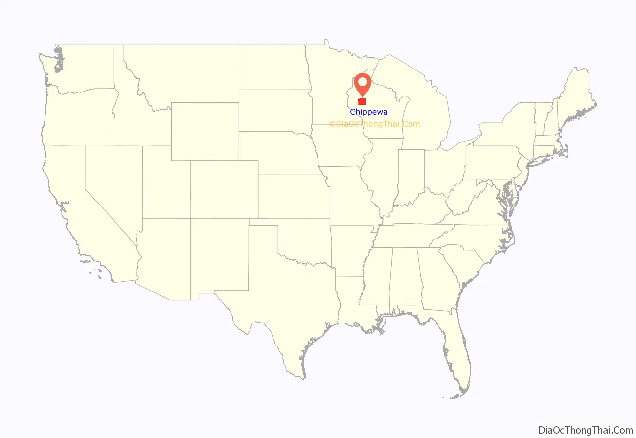
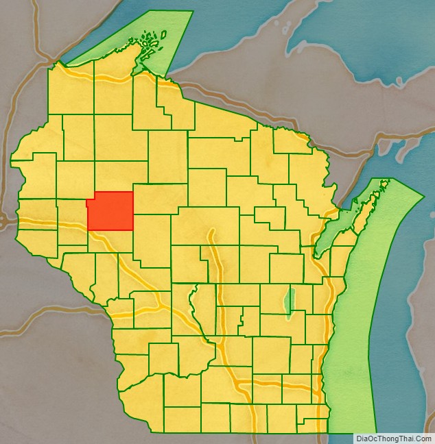
Chippewa County location map. Where is Chippewa County?
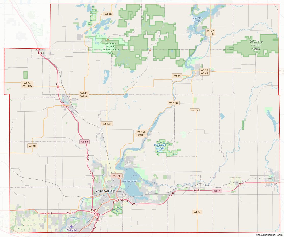
Chippewa County Road Map
Geography
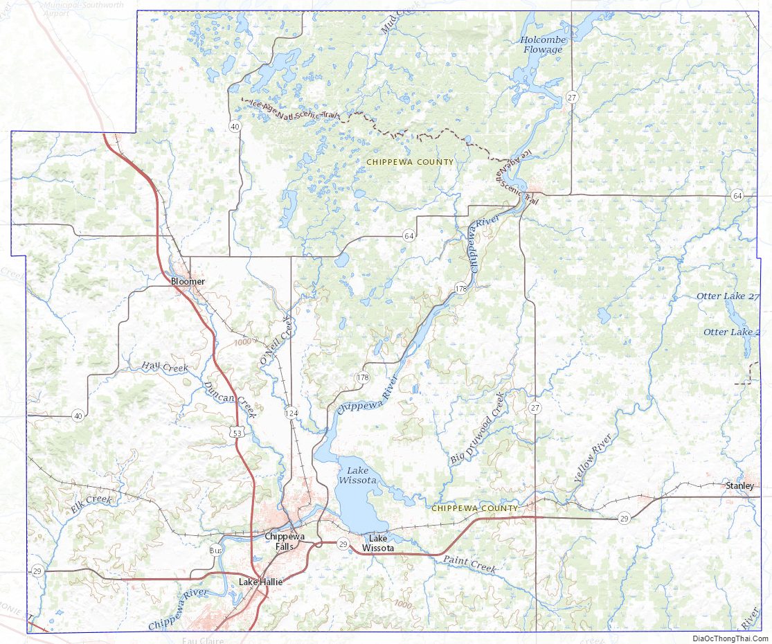
According to the U.S. Census Bureau, the county has a total area of 1,041 square miles (2,700 km), of which 1,008 square miles (2,610 km) is land and 33 square miles (85 km) (3.2%) is water.
Parts of northern Chippewa county are covered with choppy hills dimpled by kettle lakes and bogs—the terminal moraine left by the last glacier. The Ice Age Trail threads through some of this country, providing public foot-access to these unusual landforms.
Adjacent counties
- Rusk County – north
- Taylor County – east
- Clark County – southeast
- Eau Claire County – south
- Dunn County – west
- Barron County – northwest
Major highways
Railroads
- Union Pacific
- Wisconsin Northern Railroad
- Canadian National
Buses
- Eau Claire Transit
- List of intercity bus stops in Wisconsin
Airports
- KEAU – Chippewa Valley Regional Airport
- 4WI9 – Cornell Municipal Airport
Chippewa County Topographic Map
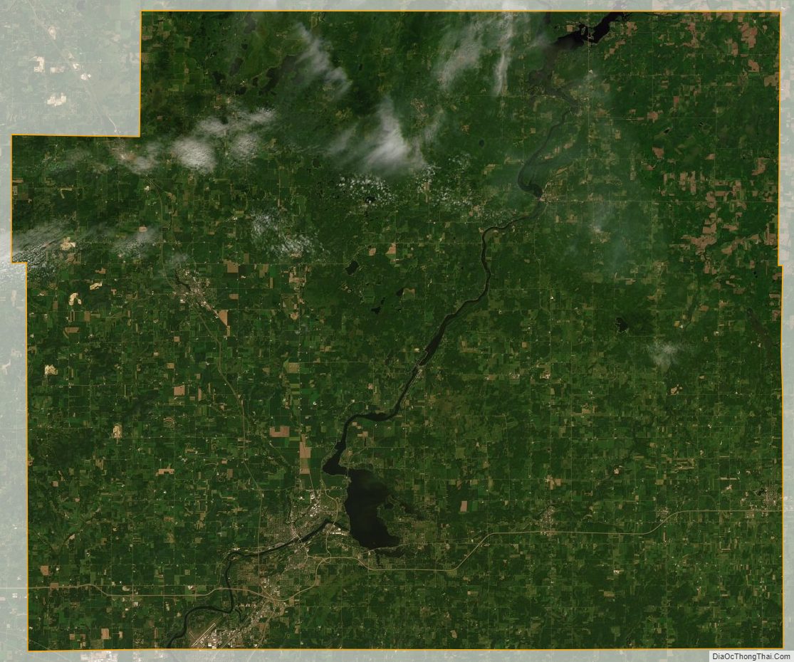
Chippewa County Satellite Map
Chippewa County Outline Map

See also
Map of Wisconsin State and its subdivision:- Adams
- Ashland
- Barron
- Bayfield
- Brown
- Buffalo
- Burnett
- Calumet
- Chippewa
- Clark
- Columbia
- Crawford
- Dane
- Dodge
- Door
- Douglas
- Dunn
- Eau Claire
- Florence
- Fond du Lac
- Forest
- Grant
- Green
- Green Lake
- Iowa
- Iron
- Jackson
- Jefferson
- Juneau
- Kenosha
- Kewaunee
- La Crosse
- Lafayette
- Lake Michigan
- Lake Superior
- Langlade
- Lincoln
- Manitowoc
- Marathon
- Marinette
- Marquette
- Menominee
- Milwaukee
- Monroe
- Oconto
- Oneida
- Outagamie
- Ozaukee
- Pepin
- Pierce
- Polk
- Portage
- Price
- Racine
- Richland
- Rock
- Rusk
- Saint Croix
- Sauk
- Sawyer
- Shawano
- Sheboygan
- Taylor
- Trempealeau
- Vernon
- Vilas
- Walworth
- Washburn
- Washington
- Waukesha
- Waupaca
- Waushara
- Winnebago
- Wood
- Alabama
- Alaska
- Arizona
- Arkansas
- California
- Colorado
- Connecticut
- Delaware
- District of Columbia
- Florida
- Georgia
- Hawaii
- Idaho
- Illinois
- Indiana
- Iowa
- Kansas
- Kentucky
- Louisiana
- Maine
- Maryland
- Massachusetts
- Michigan
- Minnesota
- Mississippi
- Missouri
- Montana
- Nebraska
- Nevada
- New Hampshire
- New Jersey
- New Mexico
- New York
- North Carolina
- North Dakota
- Ohio
- Oklahoma
- Oregon
- Pennsylvania
- Rhode Island
- South Carolina
- South Dakota
- Tennessee
- Texas
- Utah
- Vermont
- Virginia
- Washington
- West Virginia
- Wisconsin
- Wyoming