Churchill County is a county in the western U.S. state of Nevada. As of the 2020 census, the population was 25,516. Its county seat is Fallon. Named for Mexican–American War hero brevet Brigadier General Sylvester Churchill, the county was formed in 1861. Churchill County comprises the Fallon, NV Micropolitan Statistical Area. It is in northwestern Nevada. Churchill County is noteworthy in that it owns and operates the local telephone carrier, Churchill County Communications.
| Name: | Churchill County |
|---|---|
| FIPS code: | 32-001 |
| State: | Nevada |
| Founded: | 1861 |
| Named for: | Sylvester Churchill |
| Seat: | Fallon |
| Largest city: | Fallon |
| Total Area: | 5,024 sq mi (13,010 km²) |
| Land Area: | 4,930 sq mi (12,800 km²) |
| Total Population: | 25,516 |
| Population Density: | 5.1/sq mi (2.0/km²) |
| Time zone: | UTC−8 (Pacific) |
| Summer Time Zone (DST): | UTC−7 (PDT) |
| Website: | churchillcounty.org |
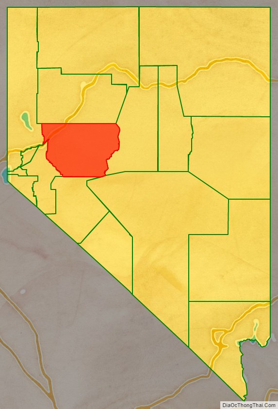
Churchill County location map. Where is Churchill County?

History
Churchill County was established in 1861, and was named for Fort Churchill (which is now in Lyon County), which was named for General Sylvester Churchill, a Mexican–American War hero who was Inspector General of the U.S. Army in 1861. Churchill County was not organized until 1864, and its first county seat was Bucklands (which is now in Lyon County). In 1864 the county seat was moved to La Plata; in 1868 it was moved to Stillwater; and in 1904 it was settled in its present position, Fallon. In the 19th century there were several attempts to eliminate Churchill County because of its small population, but Assemblyman Lemuel Allen stopped it on all occasions including convincing the Governor to veto an 1875 bill after it had been passed by both houses.
Railroads
The Eagle Salt Works Railroad ran for 13.5 miles (21.7 km), primarily on the original Central Pacific grade from Luva (2 miles (3.2 km) east of Fernley) to Eagle Salt Works.
The Central Pacific portion of the nation’s first transcontinental railroad ran through Churchill County, although a portion of the original route has been shifted for a new route south of Wadsworth in favor of Fernley. The Central Pacific later became the Southern Pacific Railroad which was merged into Union Pacific in 1996.
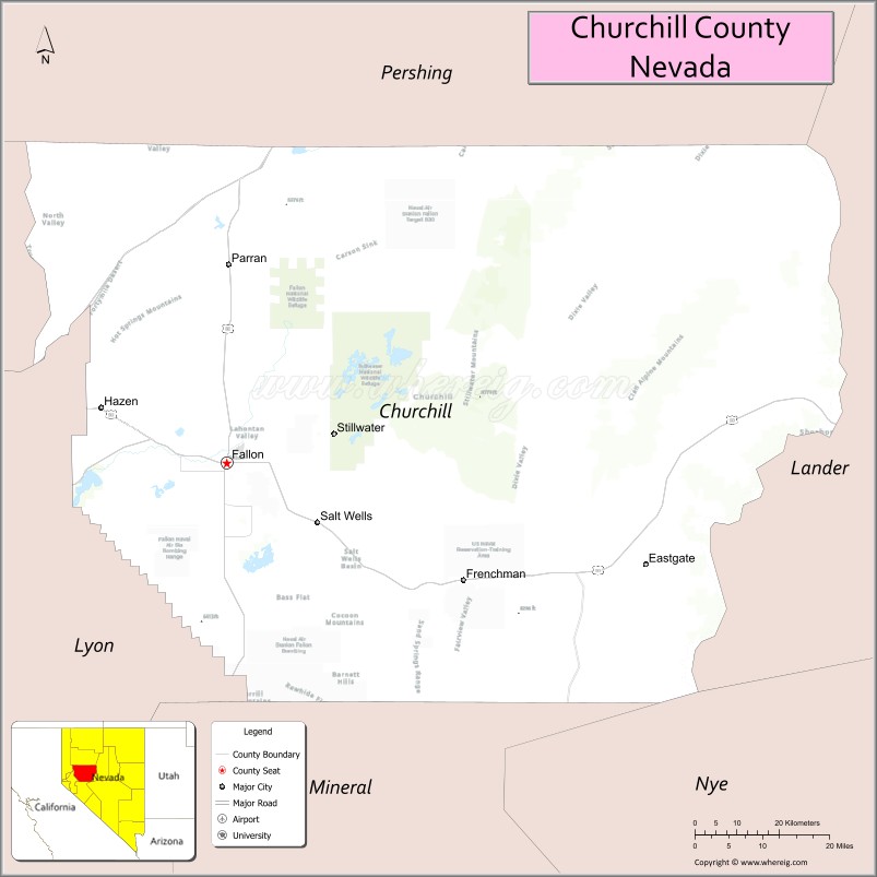
Churchill County Road Map
Geography
The terrain of Churchill County consists of rugged mountainous ridges, dotted with lakes and ponds. The county’s east and west sides are higher than the intermediate valley; its highest point around the county periphery is a ridge on the lower east boundary line, at 9,380′ (2859m) ASL. The county has an area of 5,024 square miles (13,010 km), of which 4,930 square miles (12,800 km) is land and 94 square miles (240 km) (1.9%) is water. The county’s highest point is Desatoya Peak at 9,977′ (3041m), while the most topographically prominent peak is Mount Augusta, at 9,970′ (3039m) ASL.
Major highways
- Interstate 11 (Future)
- Interstate 80
- U.S. Route 50
U.S. Route 50 Alternate- U.S. Route 95
U.S. Route 95 Alternate- State Route 115
- State Route 116
- State Route 117
- State Route 118
- State Route 119
- State Route 120
- State Route 121
- State Route 361
- State Route 715
- State Route 718
- State Route 720
- State Route 722
- State Route 723
- State Route 726
- State Route 839
Adjacent counties
- Lyon County – west
- Washoe County – northwest
- Pershing County – north
- Lander County – east
- Nye County – southeast
- Mineral County – south
Protected areas
- Fallon National Wildlife Refuge
- Humboldt State Wildlife Management Area
- Lahontan State Game Refuge
- Lahontan State Recreation Area (partial)
- Sand Mountain Recreation Area
- Stillwater National Wildlife Refuge
Lakes and reservoirs
- Big Water
- Carson Lake
- Cattail Lake
- Division Lake
- Dog Head Pond
- Dry Lake
- Dutch Bill Lake
- East Alkali Lake Number One
- East Alkali Lake Number Two
- Foxtail Lake
- Goose Lake
- Humboldt Lake (partial)
- Lahontan Reservoir
- Little Soda Lake
- North Nutgrass Lake
- Pintail Bay
- Scheckler Reservoir
- Soda Lake
- Stillwater Point Reservoir
- Swan Check
- Swan Lake
- Tule Lake
- West Nutgrass
- Willow Lake
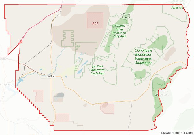
Churchill County Topographic Map
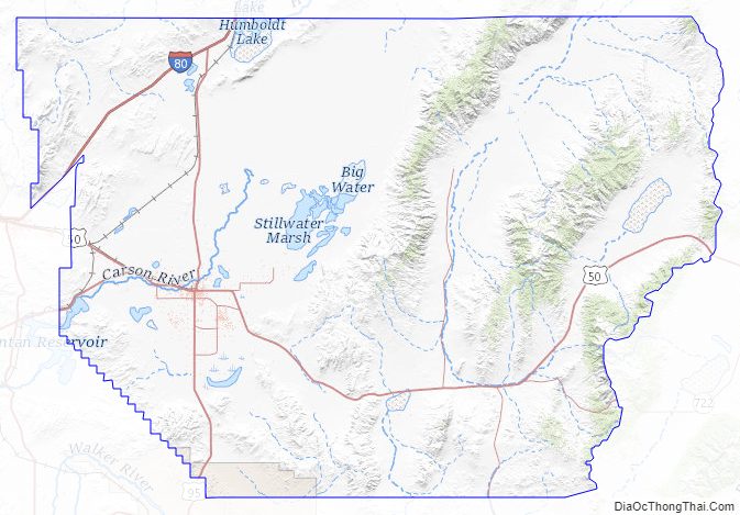
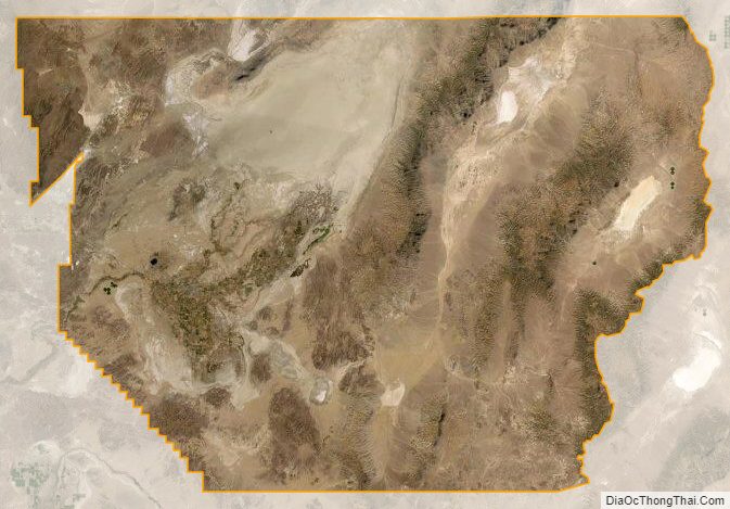
Churchill County Satellite Map
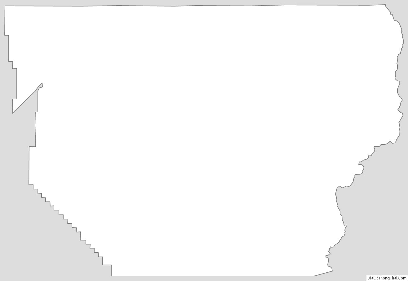
Churchill County Outline Map
See also
Map of Nevada State and its subdivision: Map of other states:- Alabama
- Alaska
- Arizona
- Arkansas
- California
- Colorado
- Connecticut
- Delaware
- District of Columbia
- Florida
- Georgia
- Hawaii
- Idaho
- Illinois
- Indiana
- Iowa
- Kansas
- Kentucky
- Louisiana
- Maine
- Maryland
- Massachusetts
- Michigan
- Minnesota
- Mississippi
- Missouri
- Montana
- Nebraska
- Nevada
- New Hampshire
- New Jersey
- New Mexico
- New York
- North Carolina
- North Dakota
- Ohio
- Oklahoma
- Oregon
- Pennsylvania
- Rhode Island
- South Carolina
- South Dakota
- Tennessee
- Texas
- Utah
- Vermont
- Virginia
- Washington
- West Virginia
- Wisconsin
- Wyoming