Clark County is a rural county in the U.S. state of Idaho; its county seat and largest city is Dubois. As of the 2020 Census, the county had a population of 790, making it the least populous county in the state.
| Name: | Clark County |
|---|---|
| FIPS code: | 16-033 |
| State: | Idaho |
| Founded: | February 1, 1919 |
| Named for: | Sam K. Clark (1857-1933), state senator & pioneer |
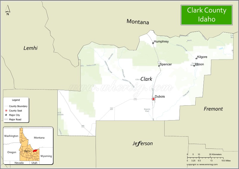
| Seat: | Dubois |
| Largest city: | Dubois |
| Total Area: | 1,765 sq mi (4,570 km²) |
| Land Area: | 1,764 sq mi (4,570 km²) |
| Total Population: | 790 |
| Population Density: | 0.56/sq mi (0.22/km²) |
| Time zone: | UTC−7 (Mountain) |
| Summer Time Zone (DST): | UTC−6 (MDT) |
| Website: | www.clark-co.id.gov |
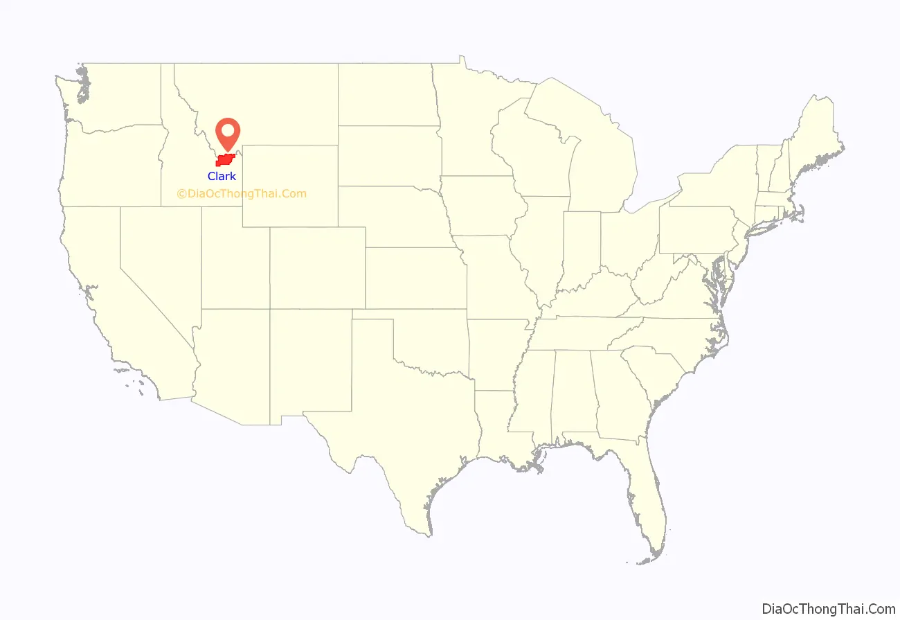
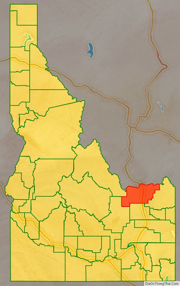
Clark County location map. Where is Clark County?
History
Establishment of stage coach stops along the route between Salt Lake City and the Montana mining towns were established at Beaver Canyon ( named after Beaver Creek (Camas Creek) ) and Dry Creek (now Dubois) in 1864. Originally part of Alturas County, both locations were transferred to Oneida County in 1877. They became part of Bingham County at its creation in 1885. Clark County was also the site of the Battle of Camas Creek during the Nez Perce War which occurred at Camas Meadows near Kilgore on August 20, 1872. The Utah and Northern Railway reached Beaver Canyon in 1879. By the 1890 Census, Beaver Canyon had a population of 216. The settlement relocated to Spencer in 1897.
The majority of Clark County was transferred to Fremont County when it was created in 1893 with the remaining territory being transferred in 1896. By the 1900 Census, 1,199 residents lived in the five precincts of Birch Creek, Dubois, Kilgore, Medicine Lodge, and Spencer. At the 1910 census, the precincts contained 1,095 residents.
Dry Creek was renamed Dubois in 1892 and incorporated prior to 1920 while Spencer was incorporated in 1947.
The county was established 104 years ago in 1919, partitioned from Fremont County by the state legislature; the county division bill was signed by Governor D. W. Davis on February 1. It was named for state senator Sam K. Clark, an early pioneer on Medicine Lodge Creek in the upper Snake River valley.
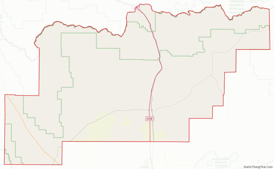
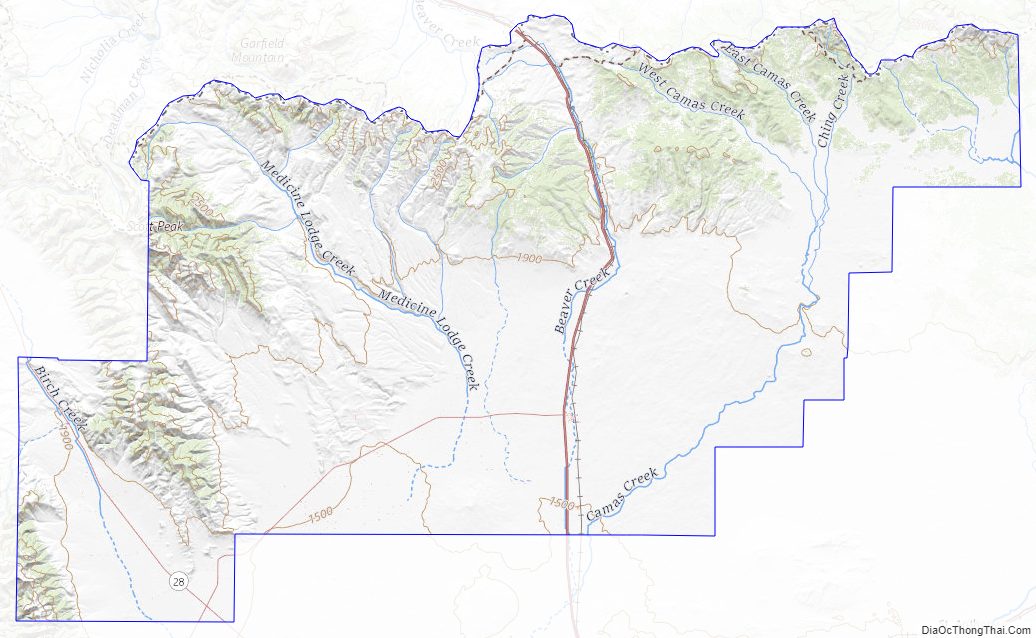
Clark County Road Map
Geography
According to the U.S. Census Bureau, the county has a total area of 1,765 square miles (4,570 km), of which 1,764 square miles (4,570 km) is land and 1.0 square mile (2.6 km) (0.1%) is water.
The northern border of the county is the Bitterroot Range of the Rocky Mountains, which forms the state line with Montana and is also the continental divide. It is crossed by Interstate 15 over Monida Pass at 6,820 feet (2,080 m) above sea level. Monida Pass also marks an east–west divide between Bitterroot subranges: the Beaverhead Mountains are to the west and the Centennial Mountains are to the east.
Adjacent counties
- Lemhi County – west
- Butte County – southwest
- Jefferson County – south
- Fremont County – east
- Beaverhead County, Montana – north
Major highways
- Interstate 15 – Monida Pass
- SH-22
National protected areas
- Caribou-Targhee National Forest (part)
- Nez Perce National Historical Park (part)
- Salmon-Challis National Forest (part)
Clark County Topographic Map
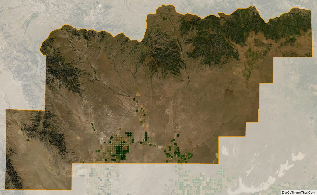
Clark County Satellite Map
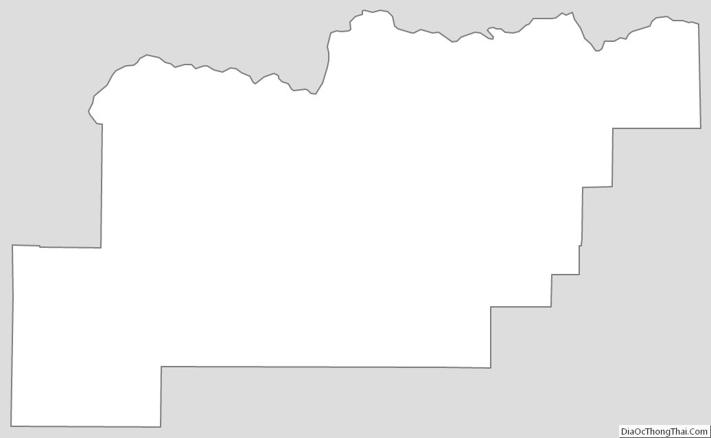
Clark County Outline Map
See also
Map of Idaho State and its subdivision:- Ada
- Adams
- Bannock
- Bear Lake
- Benewah
- Bingham
- Blaine
- Boise
- Bonner
- Bonneville
- Boundary
- Butte
- Camas
- Canyon
- Caribou
- Cassia
- Clark
- Clearwater
- Custer
- Elmore
- Franklin
- Fremont
- Gem
- Gooding
- Idaho
- Jefferson
- Jerome
- Kootenai
- Latah
- Lemhi
- Lewis
- Lincoln
- Madison
- Minidoka
- Nez Perce
- Oneida
- Owyhee
- Payette
- Power
- Shoshone
- Teton
- Twin Falls
- Valley
- Washington
- Alabama
- Alaska
- Arizona
- Arkansas
- California
- Colorado
- Connecticut
- Delaware
- District of Columbia
- Florida
- Georgia
- Hawaii
- Idaho
- Illinois
- Indiana
- Iowa
- Kansas
- Kentucky
- Louisiana
- Maine
- Maryland
- Massachusetts
- Michigan
- Minnesota
- Mississippi
- Missouri
- Montana
- Nebraska
- Nevada
- New Hampshire
- New Jersey
- New Mexico
- New York
- North Carolina
- North Dakota
- Ohio
- Oklahoma
- Oregon
- Pennsylvania
- Rhode Island
- South Carolina
- South Dakota
- Tennessee
- Texas
- Utah
- Vermont
- Virginia
- Washington
- West Virginia
- Wisconsin
- Wyoming