Clay County is a county in the U.S. state of Minnesota. As of the 2020 census, the population was 65,318. Its county seat is Moorhead.
Clay County is part of the Fargo, ND-MN Metropolitan Statistical Area.
| Name: | Clay County |
|---|---|
| FIPS code: | 27-027 |
| State: | Minnesota |
| Founded: | 1862 |
| Named for: | Henry Clay |
| Seat: | Moorhead |
| Largest city: | Moorhead |
| Total Area: | 1,053 sq mi (2,730 km²) |
| Land Area: | 1,045 sq mi (2,710 km²) |
| Total Population: | 65,318 |
| Population Density: | 62.5/sq mi (24.1/km²) |
| Time zone: | UTC−6 (Central) |
| Summer Time Zone (DST): | UTC−5 (CDT) |
| Website: | www.claycountymn.gov |
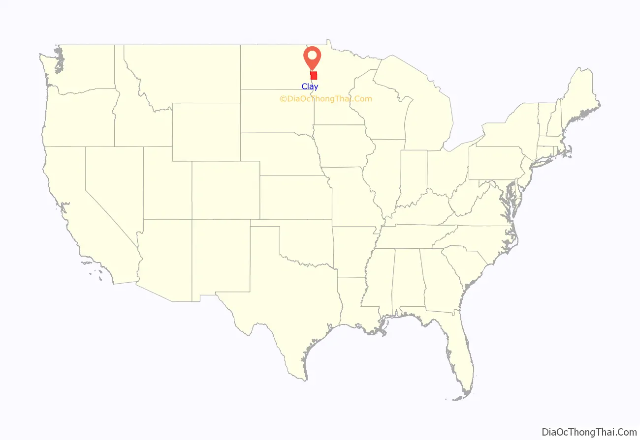
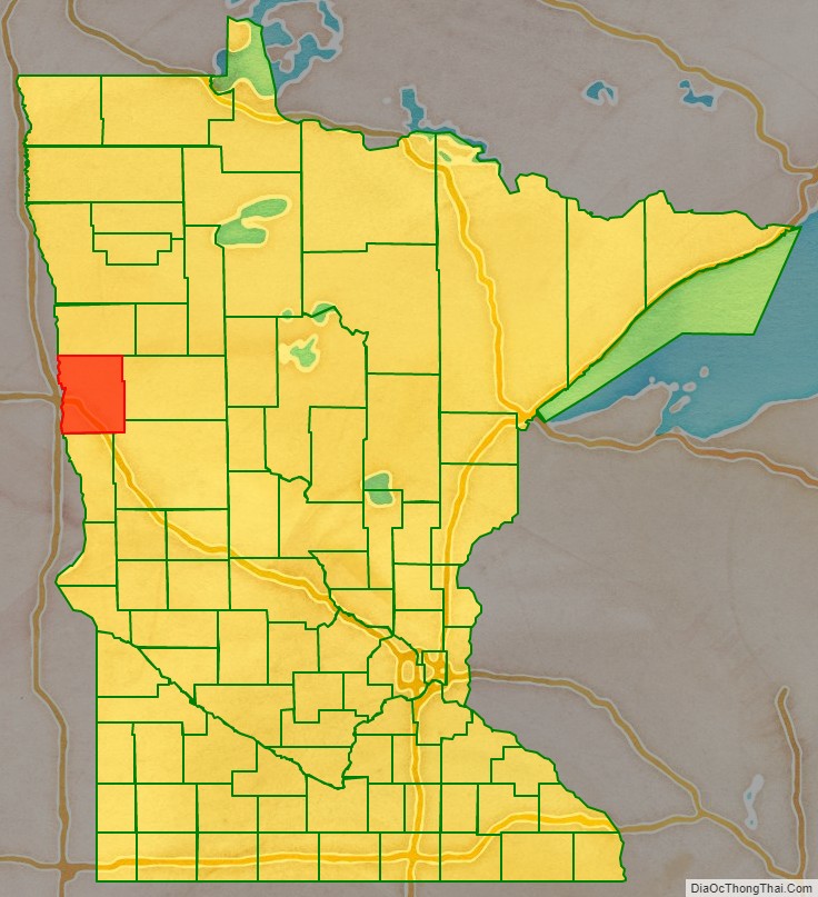
Clay County location map. Where is Clay County?
History
The county was formed on March 8, 1862, although its government was not organized at that time. In 1872, the organization was effected. It was named for nineteenth-century political figure Henry Clay, member of the United States Senate from Kentucky, and US Secretary of State. The county was originally called Breckinridge, but soon (in 1862) was changed to Clay.
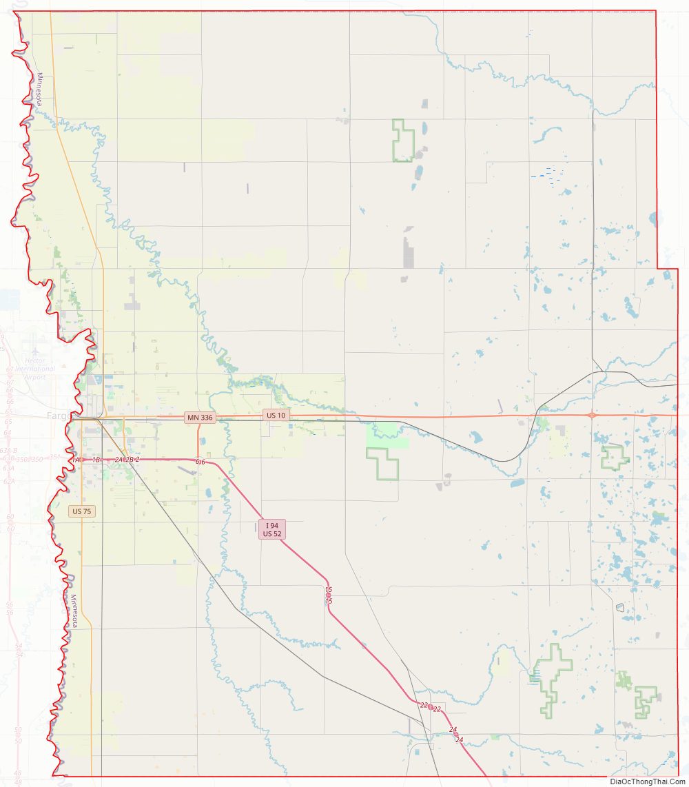
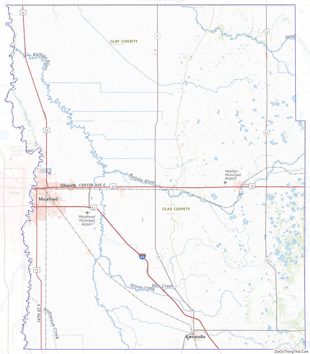
Clay County Road Map
Geography
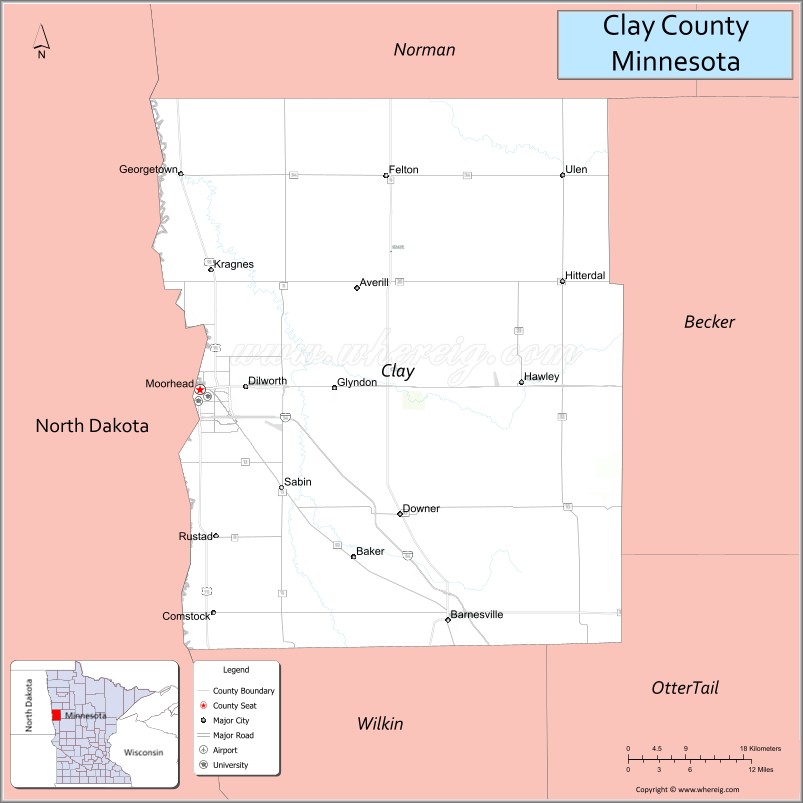
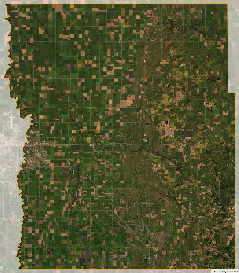
Clay County lies on the western side of Minnesota. Its western boundary line abuts the eastern boundary line of the state of North Dakota (across the Red River). The Red River flows northward along the western boundary line of the county, on its way to the Hudson Bay in Canada. The Buffalo River flows west-northwesterly through the center of the county, joined by the South Branch Buffalo River west of Glyndon, before discharging into the Red on the county’s western border near Georgetown. The terrain consists of rolling hills, dotted with lakes and ponds in its eastern portion. The terrain slopes to the west and north, with its highest point near the southeastern corner, at 1,430′ (436m) ASL. The county has a total area of 1,053 square miles (2,730 km), of which 1,045 square miles (2,710 km) are land and 7.3 square miles (19 km) (0.7%) are covered by water.
Major highways
- I-94
- US 10
- US 52
- US 75
- MN 9
- MN 32
- MN 34
- MN 336
Adjacent counties
- Norman County – north
- Becker County – east
- Otter Tail County – southeast
- Wilkin County – south
- Richland County, North Dakota – southwest
- Cass County, North Dakota – west
Protected areas
- Aspen State Wildlife Management Area
- Bjornson State Wildlife Management Area
- Bluestone Prairie Scientific and Natural Area
- Clay County State Wildlife Management Area
- Cromwell State Wildlife Management Area
- Felton Prairie Scientific and Natural Area
- Goose Prairie State Wildlife Management Area
- Gruhl State Wildlife Management Area
- Hawley State Wildlife Management Area
- Hay Creek State Wildlife Management Area
- Highland State Wildlife Management Area
- Hitterdal State Wildlife Management Area
- Jeral State Wildlife Management Area
- Magnusson State Wildlife Management Area
- Skree State Wildlife Management Area
- Ulen State Wildlife Management Area
- Ulen Wildlife Refuge
Clay County Topographic Map
Clay County Satellite Map
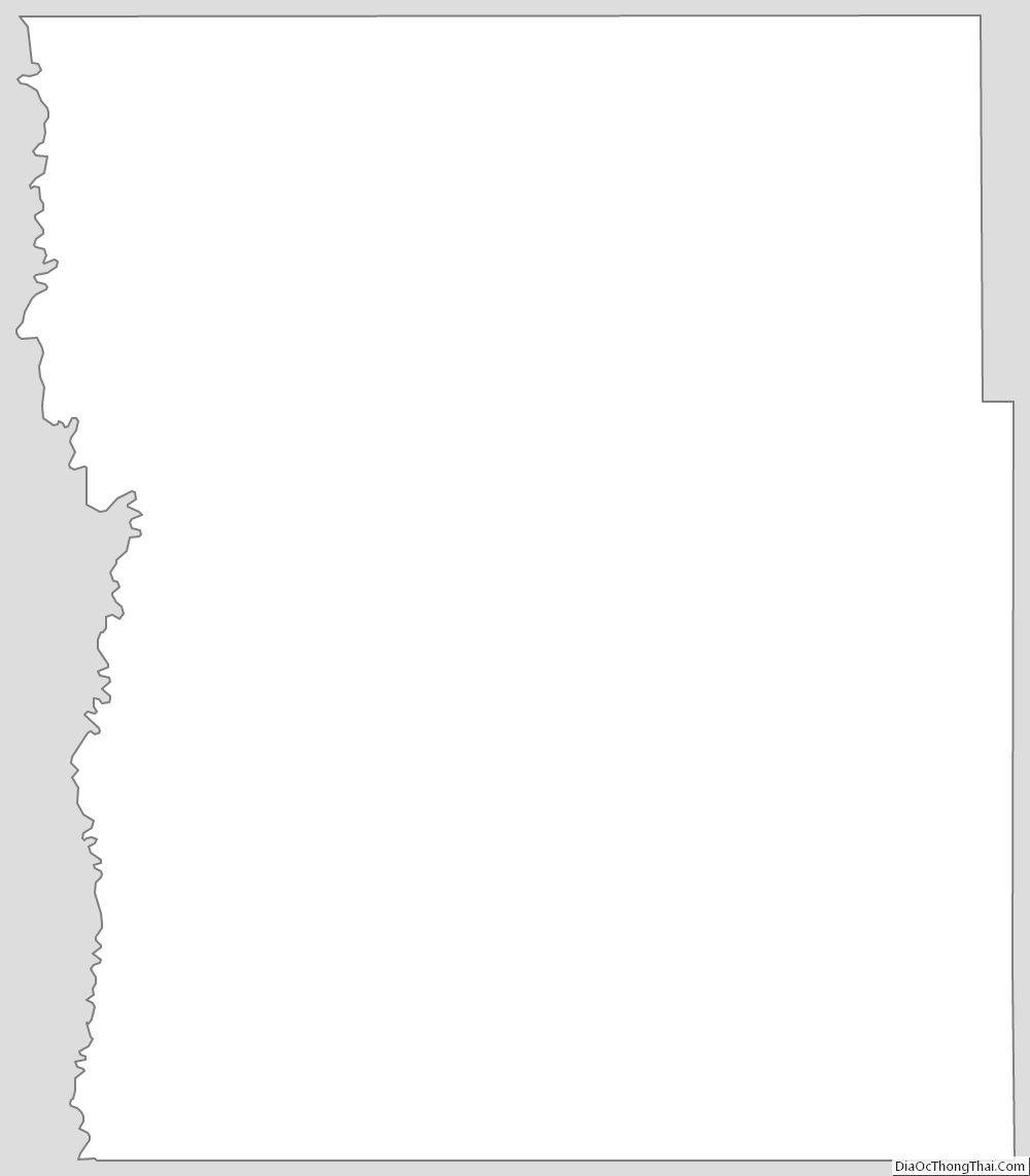
Clay County Outline Map
See also
Map of Minnesota State and its subdivision:- Aitkin
- Anoka
- Becker
- Beltrami
- Benton
- Big Stone
- Blue Earth
- Brown
- Carlton
- Carver
- Cass
- Chippewa
- Chisago
- Clay
- Clearwater
- Cook
- Cottonwood
- Crow Wing
- Dakota
- Dodge
- Douglas
- Faribault
- Fillmore
- Freeborn
- Goodhue
- Grant
- Hennepin
- Houston
- Hubbard
- Isanti
- Itasca
- Jackson
- Kanabec
- Kandiyohi
- Kittson
- Koochiching
- Lac qui Parle
- Lake
- Lake of the Woods
- Lake Superior
- Le Sueur
- Lincoln
- Lyon
- Mahnomen
- Marshall
- Martin
- McLeod
- Meeker
- Mille Lacs
- Morrison
- Mower
- Murray
- Nicollet
- Nobles
- Norman
- Olmsted
- Otter Tail
- Pennington
- Pine
- Pipestone
- Polk
- Pope
- Ramsey
- Red Lake
- Redwood
- Renville
- Rice
- Rock
- Roseau
- Saint Louis
- Scott
- Sherburne
- Sibley
- Stearns
- Steele
- Stevens
- Swift
- Todd
- Traverse
- Wabasha
- Wadena
- Waseca
- Washington
- Watonwan
- Wilkin
- Winona
- Wright
- Yellow Medicine
- Alabama
- Alaska
- Arizona
- Arkansas
- California
- Colorado
- Connecticut
- Delaware
- District of Columbia
- Florida
- Georgia
- Hawaii
- Idaho
- Illinois
- Indiana
- Iowa
- Kansas
- Kentucky
- Louisiana
- Maine
- Maryland
- Massachusetts
- Michigan
- Minnesota
- Mississippi
- Missouri
- Montana
- Nebraska
- Nevada
- New Hampshire
- New Jersey
- New Mexico
- New York
- North Carolina
- North Dakota
- Ohio
- Oklahoma
- Oregon
- Pennsylvania
- Rhode Island
- South Carolina
- South Dakota
- Tennessee
- Texas
- Utah
- Vermont
- Virginia
- Washington
- West Virginia
- Wisconsin
- Wyoming