Clay County is a county in the U.S. state of Mississippi. As of the 2020 census, the population was 18,636. Its county seat is West Point. Its name is in honor of American statesman Henry Clay, member of the United States Senate from Kentucky and United States Secretary of State in the 19th century. J. Wesley Caradine, an African American, was the first state representative for Clay County after it was established in 1871.
The federal government formerly designated Clay County as the West Point Micropolitan Statistical Area, but the county lost that status in 2013. It is part of the Golden Triangle region of the state.
| Name: | Clay County |
|---|---|
| FIPS code: | 28-025 |
| State: | Mississippi |
| Founded: | 1871 |
| Named for: | Henry Clay |
| Seat: | West Point |
| Largest city: | West Point |
| Total Area: | 416 sq mi (1,080 km²) |
| Land Area: | 410 sq mi (1,100 km²) |
| Total Population: | 18,636 |
| Population Density: | 45/sq mi (17/km²) |
| Time zone: | UTC−6 (Central) |
| Summer Time Zone (DST): | UTC−5 (CDT) |
| Website: | www.claycountyms.com/index.php/ |
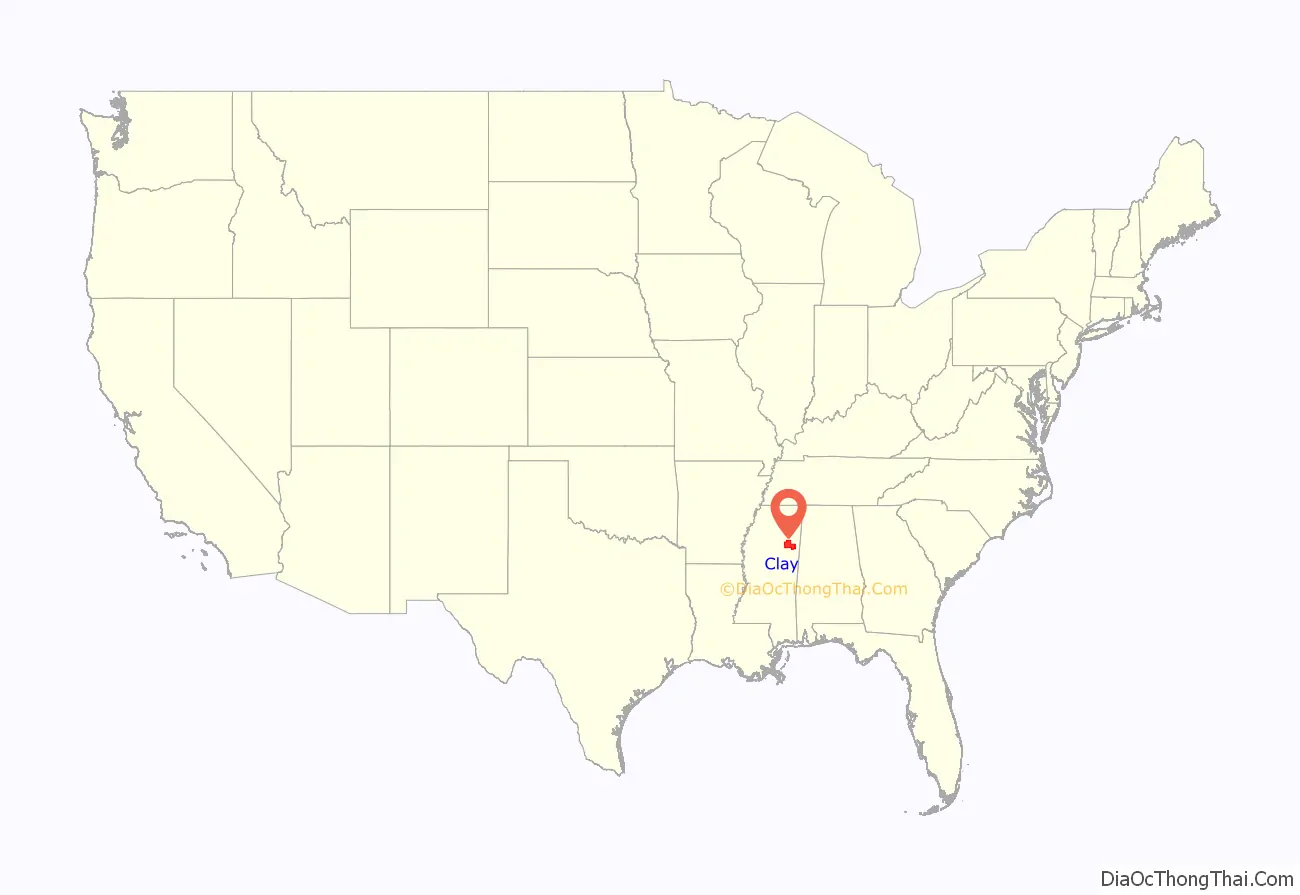
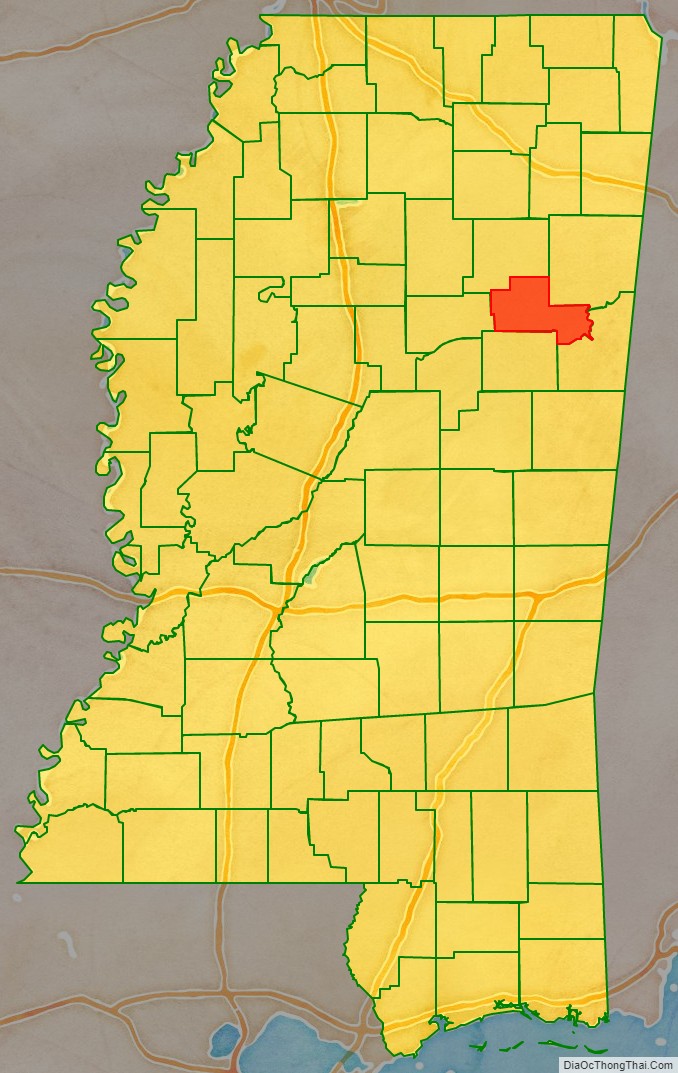
Clay County location map. Where is Clay County?
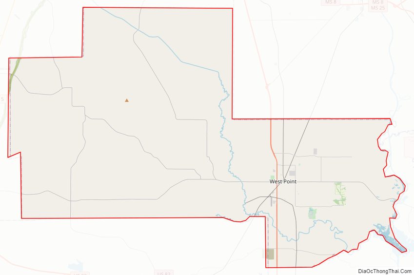
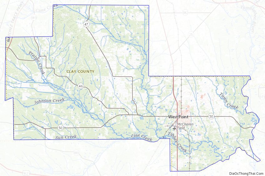
Clay County Road Map
Geography
According to the U.S. Census Bureau, the county has a total area of 416 square miles (1,080 km), of which 410 square miles (1,100 km) is land and 5.9 square miles (15 km) (1.4%) is water.
Major highways
- U.S. Highway Alternate 45
- Mississippi Highway 25
- Mississippi Highway 46
- Mississippi Highway 47
- Mississippi Highway 50
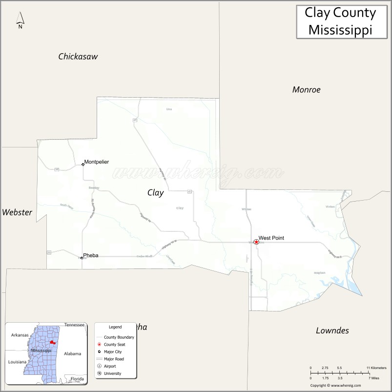
Adjacent counties
- Chickasaw County (north)
- Monroe County (northeast)
- Lowndes County (southeast)
- Oktibbeha County (south)
- Webster County (west)
National protected area
- Natchez Trace Parkway (part)
Clay County Topographic Map
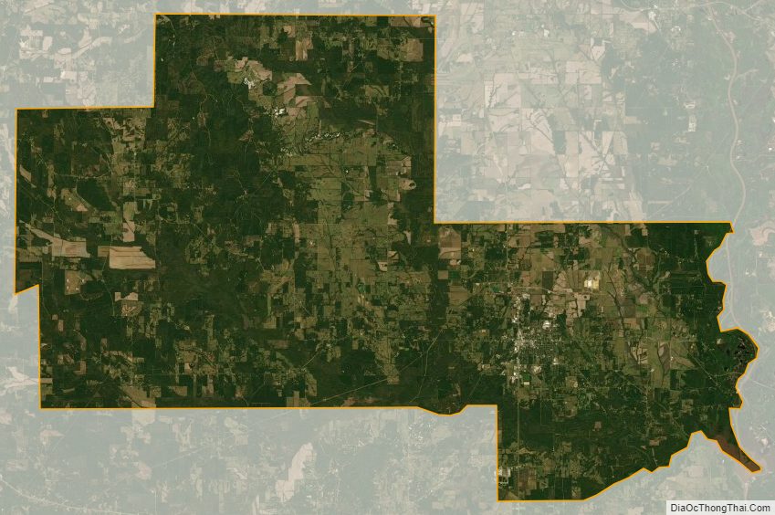
Clay County Satellite Map
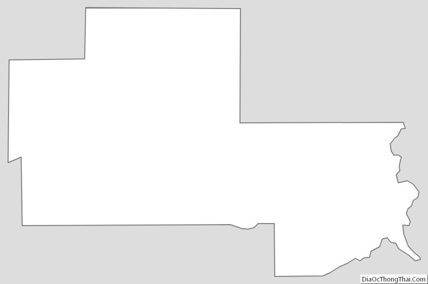
Clay County Outline Map
See also
Map of Mississippi State and its subdivision:- Adams
- Alcorn
- Amite
- Attala
- Benton
- Bolivar
- Calhoun
- Carroll
- Chickasaw
- Choctaw
- Claiborne
- Clarke
- Clay
- Coahoma
- Copiah
- Covington
- Desoto
- Forrest
- Franklin
- George
- Greene
- Grenada
- Hancock
- Harrison
- Hinds
- Holmes
- Humphreys
- Issaquena
- Itawamba
- Jackson
- Jasper
- Jefferson
- Jefferson Davis
- Jones
- Kemper
- Lafayette
- Lamar
- Lauderdale
- Lawrence
- Leake
- Lee
- Leflore
- Lincoln
- Lowndes
- Madison
- Marion
- Marshall
- Monroe
- Montgomery
- Neshoba
- Newton
- Noxubee
- Oktibbeha
- Panola
- Pearl River
- Perry
- Pike
- Pontotoc
- Prentiss
- Quitman
- Rankin
- Scott
- Sharkey
- Simpson
- Smith
- Stone
- Sunflower
- Tallahatchie
- Tate
- Tippah
- Tishomingo
- Tunica
- Union
- Walthall
- Warren
- Washington
- Wayne
- Webster
- Wilkinson
- Winston
- Yalobusha
- Yazoo
- Alabama
- Alaska
- Arizona
- Arkansas
- California
- Colorado
- Connecticut
- Delaware
- District of Columbia
- Florida
- Georgia
- Hawaii
- Idaho
- Illinois
- Indiana
- Iowa
- Kansas
- Kentucky
- Louisiana
- Maine
- Maryland
- Massachusetts
- Michigan
- Minnesota
- Mississippi
- Missouri
- Montana
- Nebraska
- Nevada
- New Hampshire
- New Jersey
- New Mexico
- New York
- North Carolina
- North Dakota
- Ohio
- Oklahoma
- Oregon
- Pennsylvania
- Rhode Island
- South Carolina
- South Dakota
- Tennessee
- Texas
- Utah
- Vermont
- Virginia
- Washington
- West Virginia
- Wisconsin
- Wyoming