Clay County is a county in the U.S. state of West Virginia. As of the 2020 census, the population was 8,051. Its county seat is Clay. The county was founded in 1858 and named in honor of Henry Clay, famous American statesman, member of the United States Senate from Kentucky and United States Secretary of State in the 19th century.
Clay County is part of the Charleston, WV Metropolitan Statistical Area.
| Name: | Clay County |
|---|---|
| FIPS code: | 54-015 |
| State: | West Virginia |
| Founded: | March 29, 1858 |
| Named for: | Henry Clay |
| Seat: | Clay |
| Largest town: | Clay |
| Total Area: | 344 sq mi (890 km²) |
| Land Area: | 342 sq mi (890 km²) |
| Total Population: | 8,051 |
| Population Density: | 23/sq mi (9.0/km²) |
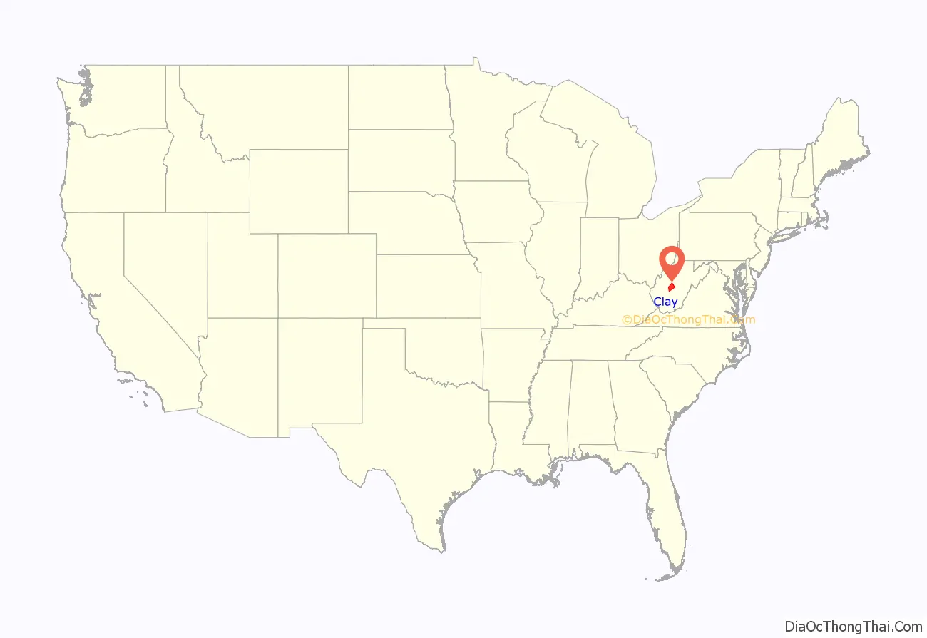
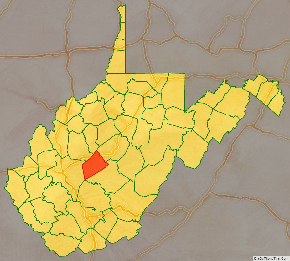
Clay County location map. Where is Clay County?
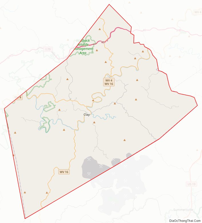
Clay County Road Map
Geography
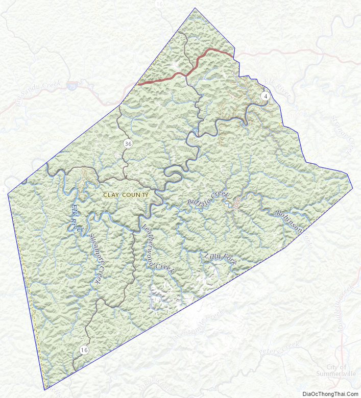
According to the United States Census Bureau, the county has a total area of 344 square miles (890 km), of which 342 square miles (890 km) is land and 1.9 square miles (4.9 km) (0.6%) is water.
In 1863, West Virginia’s counties were divided into civil townships, with the intention of encouraging local government. This proved impractical in the heavily rural state, and in 1872 the townships were converted into magisterial districts. Clay County was divided into four districts: Buffalo, Henry, Pleasant, and Union. A fifth district, Otter, was created from part of Henry in 1876. Between 1990 and 2000, these districts were consolidated into Districts A, B, and C. Though it does have access to an interstate highway, the county has no traffic lights or public transportation.
Major highways
- Interstate 79
- West Virginia Route 4
- West Virginia Route 16
- West Virginia Route 36
Adjacent counties
- Calhoun County (north)
- Braxton County (northeast)
- Nicholas County (southeast)
- Kanawha County (west)
- Roane County (northwest)
Clay County Topographic Map
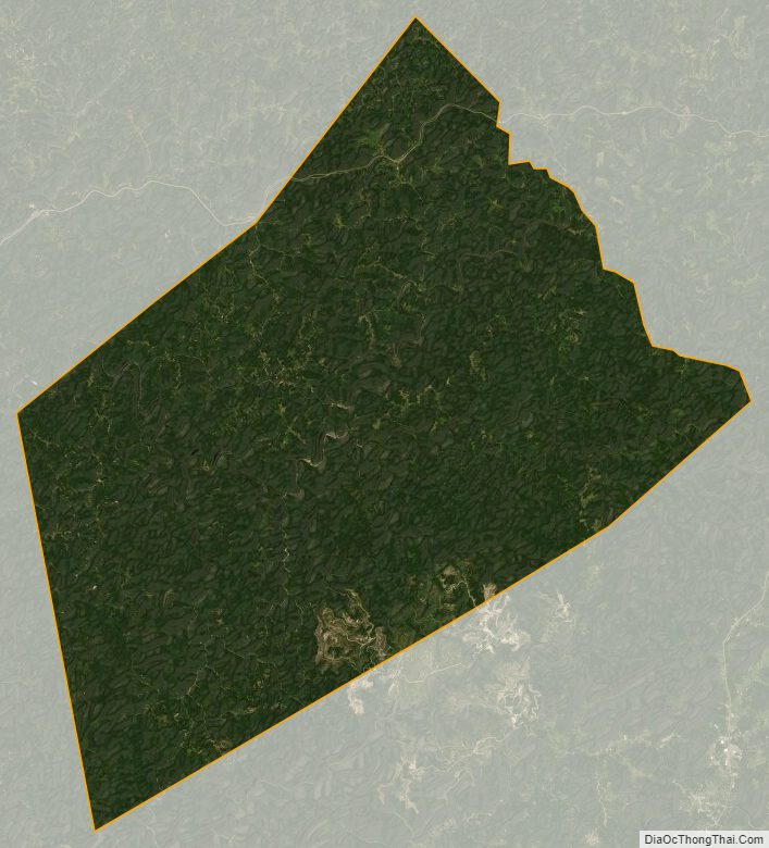
Clay County Satellite Map
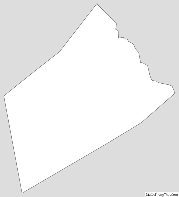
Clay County Outline Map
See also
Map of West Virginia State and its subdivision:- Barbour
- Berkeley
- Boone
- Braxton
- Brooke
- Cabell
- Calhoun
- Clay
- Doddridge
- Fayette
- Gilmer
- Grant
- Greenbrier
- Hampshire
- Hancock
- Hardy
- Harrison
- Jackson
- Jefferson
- Kanawha
- Lewis
- Lincoln
- Logan
- Marion
- Marshall
- Mason
- McDowell
- Mercer
- Mineral
- Mingo
- Monongalia
- Monroe
- Morgan
- Nicholas
- Ohio
- Pendleton
- Pleasants
- Pocahontas
- Preston
- Putnam
- Raleigh
- Randolph
- Ritchie
- Roane
- Summers
- Taylor
- Tucker
- Tyler
- Upshur
- Wayne
- Webster
- Wetzel
- Wirt
- Wood
- Wyoming
- Alabama
- Alaska
- Arizona
- Arkansas
- California
- Colorado
- Connecticut
- Delaware
- District of Columbia
- Florida
- Georgia
- Hawaii
- Idaho
- Illinois
- Indiana
- Iowa
- Kansas
- Kentucky
- Louisiana
- Maine
- Maryland
- Massachusetts
- Michigan
- Minnesota
- Mississippi
- Missouri
- Montana
- Nebraska
- Nevada
- New Hampshire
- New Jersey
- New Mexico
- New York
- North Carolina
- North Dakota
- Ohio
- Oklahoma
- Oregon
- Pennsylvania
- Rhode Island
- South Carolina
- South Dakota
- Tennessee
- Texas
- Utah
- Vermont
- Virginia
- Washington
- West Virginia
- Wisconsin
- Wyoming