| Name: | Crook County |
|---|---|
| FIPS code: | 56-011 |
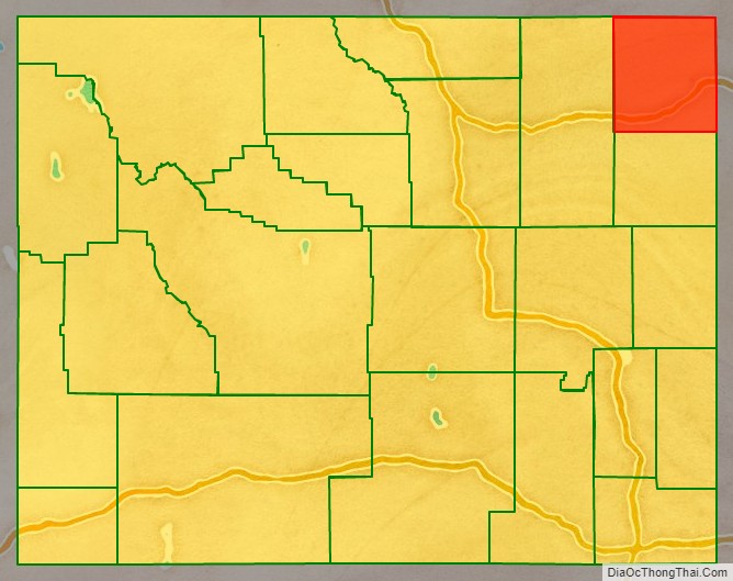
| State: | Wyoming |
| Founded: | December 8, 1875 (authorized) 1888 (organized) |
| Named for: | George Crook |
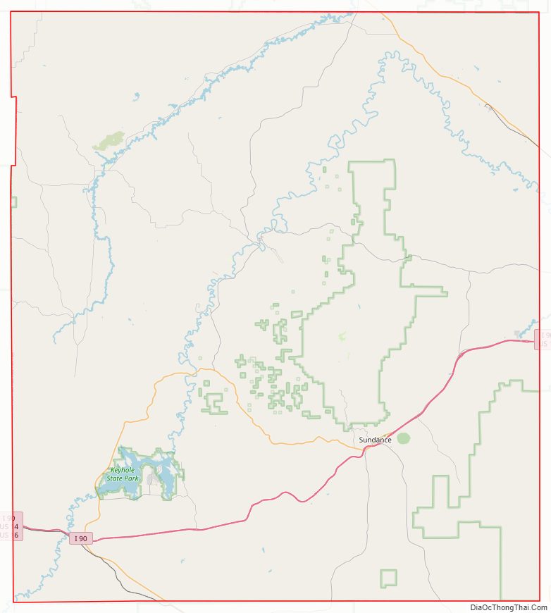
| Seat: | Sundance |
| Largest town: | Sundance |
| Total Area: | 2,865 sq mi (7,420 km²) |
| Land Area: | 2,854 sq mi (7,390 km²) |
| Total Population: | 7,181 |
| Population Density: | 2.5/sq mi (0.97/km²) |
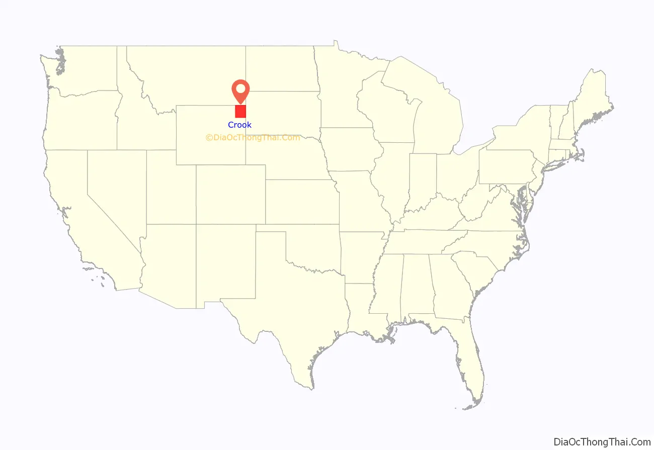
Crook County location map. Where is Crook County?
History
Crook County was created by the legislature of the Wyoming Territory on December 8, 1875, from portions of Albany and Laramie Counties. It was organized in 1888.
Crook County was named for Brigadier General George Crook, an army commander during the Indian Wars. In 1890, Crook County lost territory when Weston County was created. Campbell County was formed with land ceded by Crook County in 1911.
Crook County Road Map
Geography
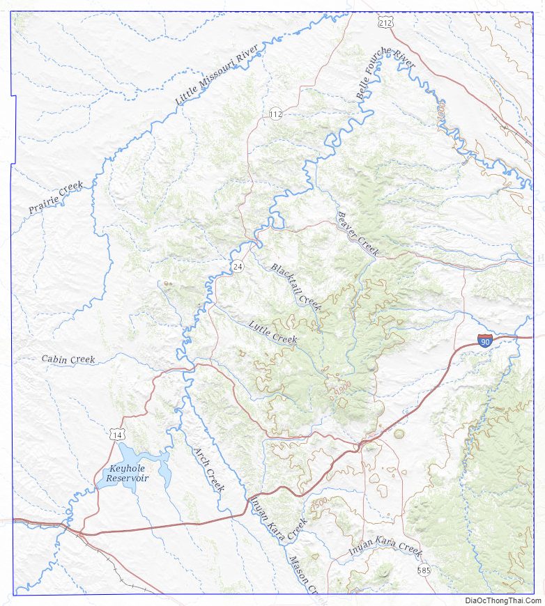
According to the US Census Bureau, the county has a total area of 2,865 square miles (7,420 km), of which 2,854 square miles (7,390 km) is land and 11 square miles (28 km) (0.4%) is water. The lowest point in the state of Wyoming is located on the Belle Fourche River in Crook County, where it flows out of Wyoming and into South Dakota.
Devils Tower National Monument is located in the Bear Lodge Mountains in Crook County.
The Missouri Buttes, at the northwestern end of the Black Hills, are located in the county, 3.5 miles northwest of Devils Tower.
Major highways
Adjacent counties
- Butte County, South Dakota – northeast
- Lawrence County, South Dakota – east
- Weston County – south
- Campbell County – west
- Powder River County, Montana – northwest
- Carter County, Montana – north
National protected areas
- Black Hills National Forest (part)
- Devils Tower National Monument
- Thunder Basin National Grassland (part)
Crook County Topographic Map
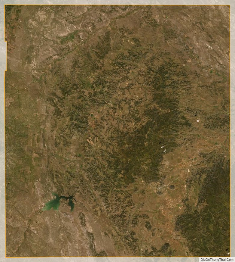
Crook County Satellite Map
Crook County Outline Map

See also
Map of Wyoming State and its subdivision: Map of other states:- Alabama
- Alaska
- Arizona
- Arkansas
- California
- Colorado
- Connecticut
- Delaware
- District of Columbia
- Florida
- Georgia
- Hawaii
- Idaho
- Illinois
- Indiana
- Iowa
- Kansas
- Kentucky
- Louisiana
- Maine
- Maryland
- Massachusetts
- Michigan
- Minnesota
- Mississippi
- Missouri
- Montana
- Nebraska
- Nevada
- New Hampshire
- New Jersey
- New Mexico
- New York
- North Carolina
- North Dakota
- Ohio
- Oklahoma
- Oregon
- Pennsylvania
- Rhode Island
- South Carolina
- South Dakota
- Tennessee
- Texas
- Utah
- Vermont
- Virginia
- Washington
- West Virginia
- Wisconsin
- Wyoming