Curry County is the southwesternmost county in the U.S. state of Oregon. As of the 2020 census, the population was 23,446. The county seat is Gold Beach. The county is named for George Law Curry, a two-time governor of the Oregon Territory. Curry County includes the Brookings, OR Micropolitan Statistical Area.
| Name: | Curry County |
|---|---|
| FIPS code: | 41-015 |
| State: | Oregon |
| Founded: | December 18, 1855 |
| Named for: | George L. Curry |
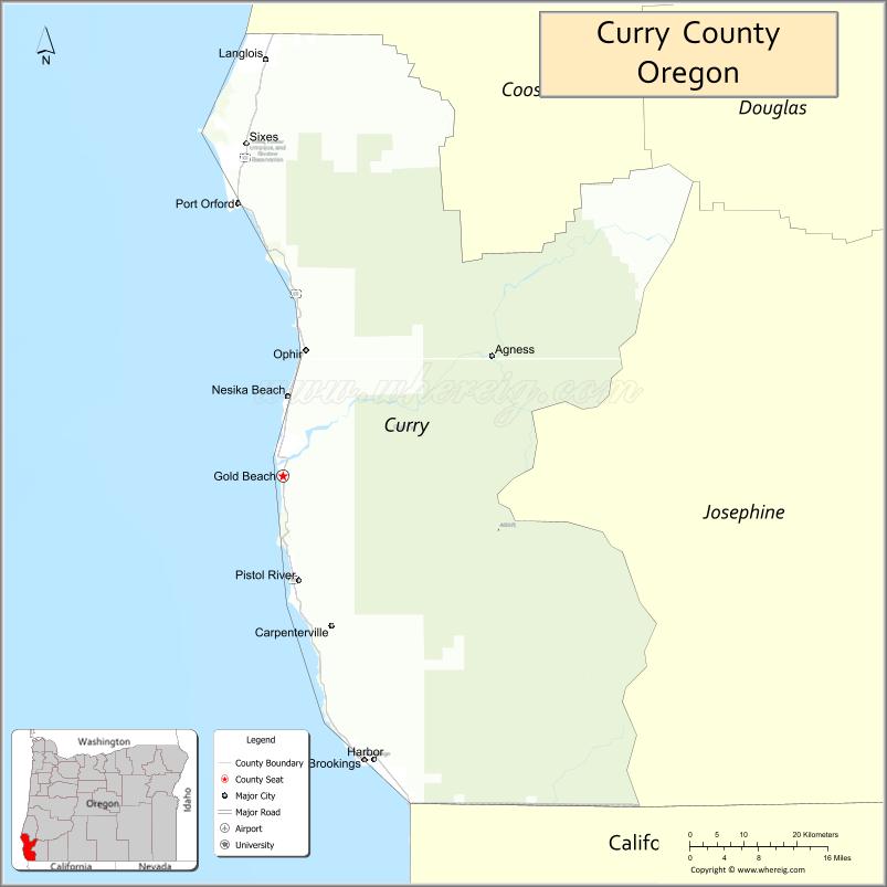
| Seat: | Gold Beach |
| Largest city: | Brookings |
| Total Area: | 1,988 sq mi (5,150 km²) |
| Land Area: | 1,627 sq mi (4,210 km²) |
| Total Population: | 23,446 |
| Population Density: | 14/sq mi (5.3/km²) |
| Time zone: | UTC−8 (Pacific) |
| Summer Time Zone (DST): | UTC−7 (PDT) |
| Website: | www.co.curry.or.us |
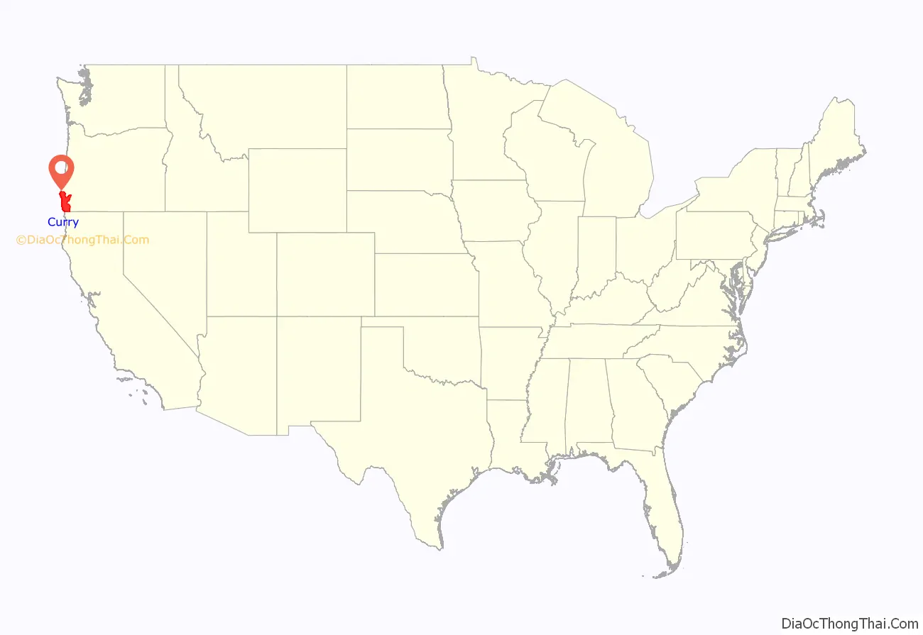
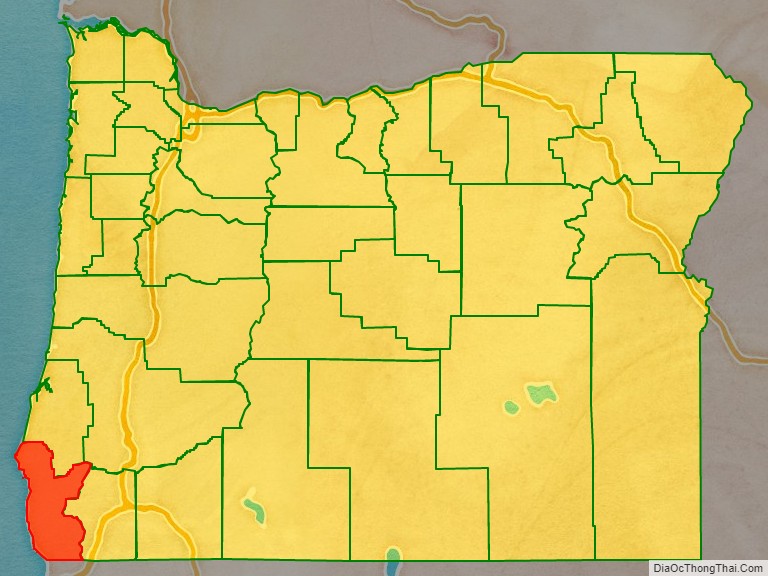
Curry County location map. Where is Curry County?
Curry County Road Map
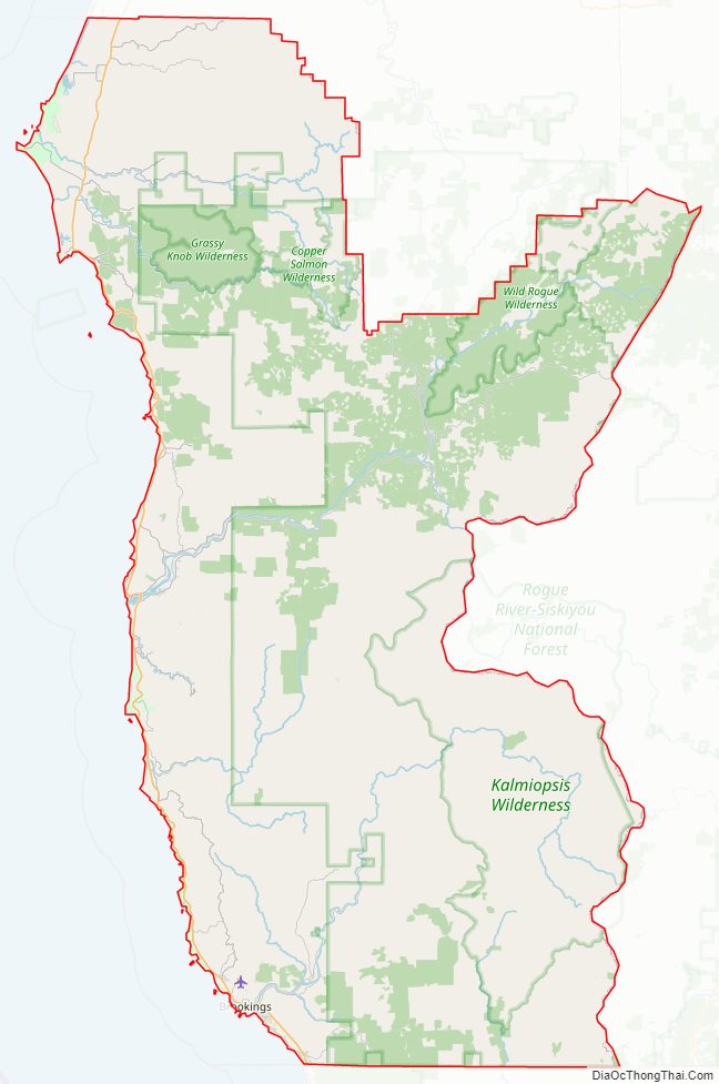
Geography
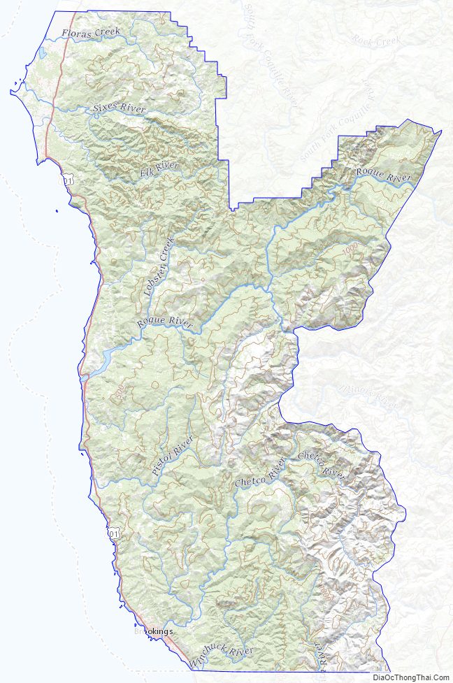
According to the United States Census Bureau, the county has a total area of 1,988 square miles (5,150 km), of which 1,627 square miles (4,210 km) is land and 361 square miles (930 km) (18%) is water.
The westernmost point in Oregon is in Curry County at Cape Blanco located at 42°50′08″N 124°33′57″W / 42.835508°N 124.565939°W / 42.835508; -124.565939 (westernmost Cape Blanco).
The county contains significant forests, with occurrence of black oak, big leaf maple and Douglas-fir. The blue oak, prevalent slightly further south does not reach into Curry County.
Adjacent counties
- Coos County (north)
- Douglas County (northeast)
- Josephine County (east)
- Del Norte County, California (south)
National protected areas
- Oregon Islands National Wildlife Refuge
- Siskiyou National Forest (part)
Curry County Topographic Map
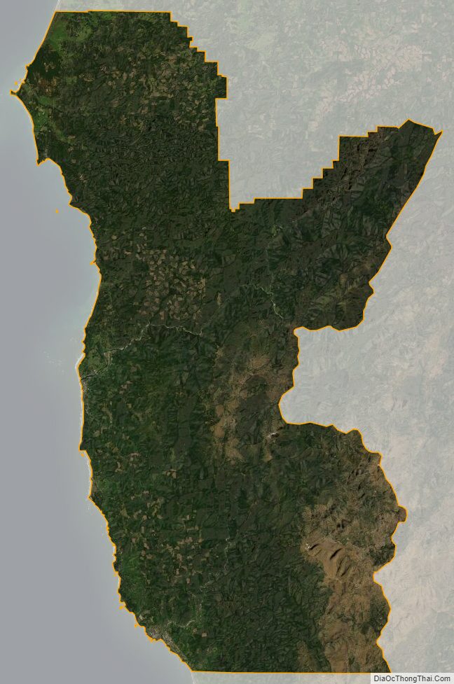
Curry County Satellite Map
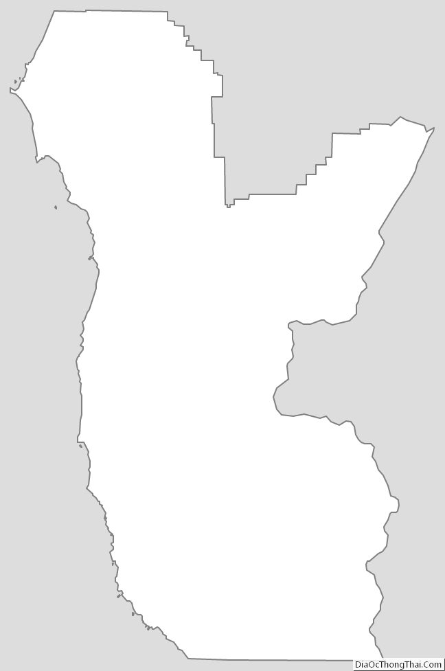
Curry County Outline Map
See also
Map of Oregon State and its subdivision: Map of other states:- Alabama
- Alaska
- Arizona
- Arkansas
- California
- Colorado
- Connecticut
- Delaware
- District of Columbia
- Florida
- Georgia
- Hawaii
- Idaho
- Illinois
- Indiana
- Iowa
- Kansas
- Kentucky
- Louisiana
- Maine
- Maryland
- Massachusetts
- Michigan
- Minnesota
- Mississippi
- Missouri
- Montana
- Nebraska
- Nevada
- New Hampshire
- New Jersey
- New Mexico
- New York
- North Carolina
- North Dakota
- Ohio
- Oklahoma
- Oregon
- Pennsylvania
- Rhode Island
- South Carolina
- South Dakota
- Tennessee
- Texas
- Utah
- Vermont
- Virginia
- Washington
- West Virginia
- Wisconsin
- Wyoming