| Name: | Custer County |
|---|---|
| FIPS code: | 31-041 |
| State: | Nebraska |
| Founded: | 17 February 1877 |
| Named for: | George Armstrong Custer |
| Seat: | Broken Bow |
| Largest city: | Broken Bow |
| Total Area: | 2,576 sq mi (6,670 km²) |
| Land Area: | 2,576 sq mi (6,670 km²) |
| Total Population: | 10,460 |
| Population Density: | 4.06/sq mi (1.57/km²) |
| Time zone: | UTC−6 (Central) |
| Summer Time Zone (DST): | UTC−5 (CDT) |
| Website: | www.co.custer.ne.us |
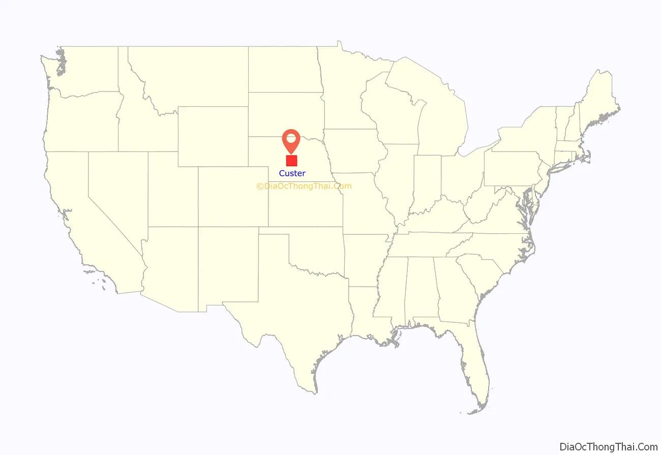
Custer County location map. Where is Custer County?
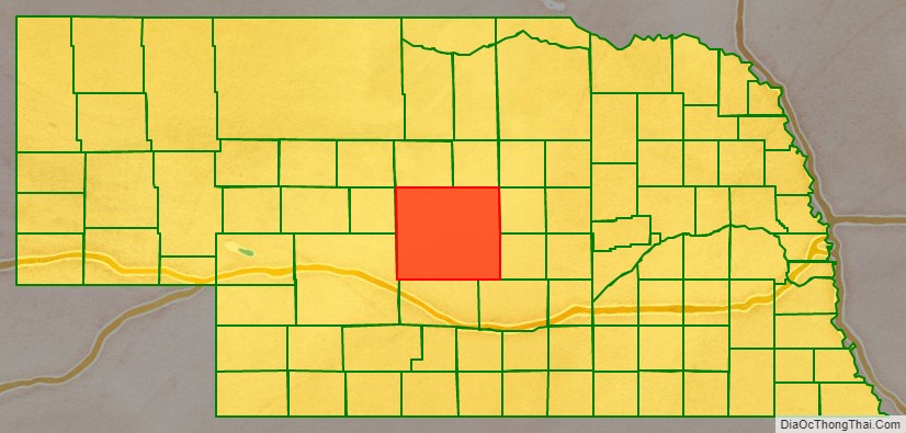
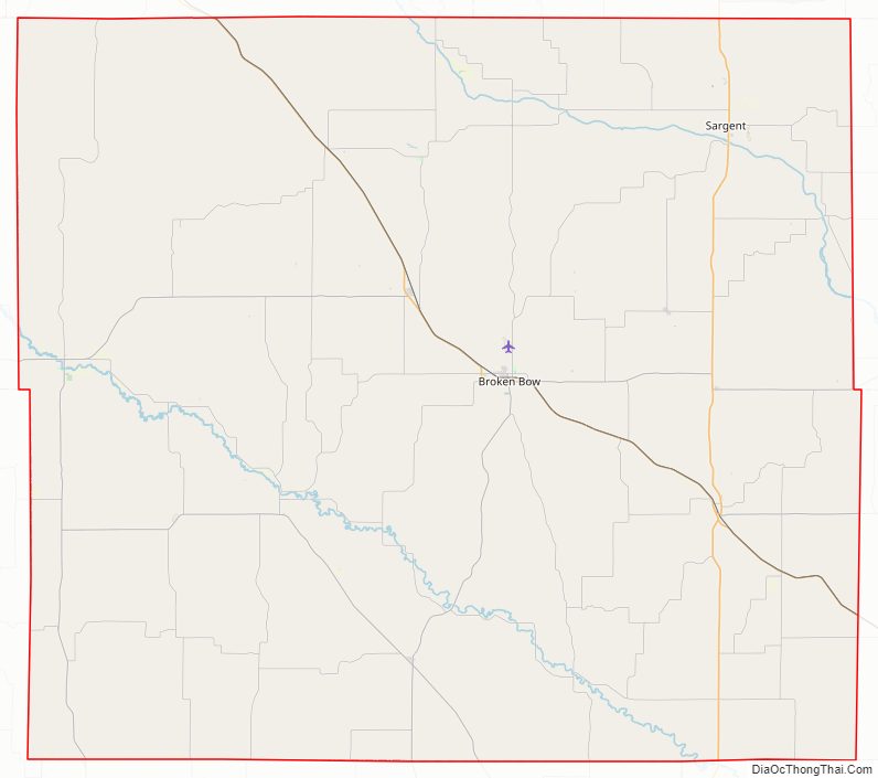
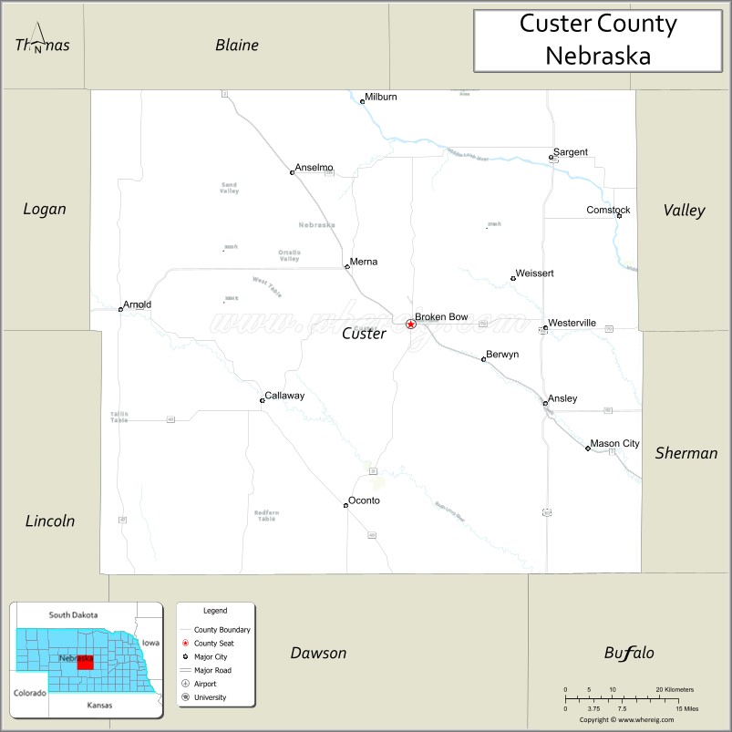
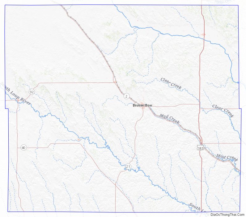
Custer County Road Map
Geography
According to the US Census Bureau, the county has a total area of 2,576 square miles (6,670 km), of which 2,576 square miles (6,670 km) is land and 0.4 square miles (1.0 km) (0.01%) is water. In area, it is the second largest county in Nebraska, behind only Cherry County.
Major highways
- U.S. Highway 183
- Nebraska Highway 2
- Nebraska Highway 21
- Nebraska Highway 40
- Nebraska Highway 47
- Nebraska Highway 70
- Nebraska Highway 92
Adjacent counties
- Valley County – northeast
- Sherman County – southeast
- Buffalo County – southeast
- Dawson County – south
- Lincoln County – southwest
- Logan County – west
- Blaine County – northwest
- Loup County – northeast
Custer County Topographic Map
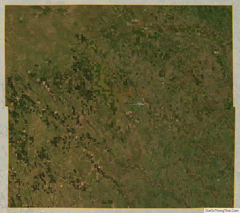
Custer County Satellite Map
Custer County Outline Map

See also
Map of Nebraska State and its subdivision:- Adams
- Antelope
- Arthur
- Banner
- Blaine
- Boone
- Box Butte
- Boyd
- Brown
- Buffalo
- Burt
- Butler
- Cass
- Cedar
- Chase
- Cherry
- Cheyenne
- Clay
- Colfax
- Cuming
- Custer
- Dakota
- Dawes
- Dawson
- Deuel
- Dixon
- Dodge
- Douglas
- Dundy
- Fillmore
- Franklin
- Frontier
- Furnas
- Gage
- Garden
- Garfield
- Gosper
- Grant
- Greeley
- Hall
- Hamilton
- Harlan
- Hayes
- Hitchcock
- Holt
- Hooker
- Howard
- Jefferson
- Johnson
- Kearney
- Keith
- Keya Paha
- Kimball
- Knox
- Lancaster
- Lincoln
- Logan
- Loup
- Madison
- McPherson
- Merrick
- Morrill
- Nance
- Nemaha
- Nuckolls
- Otoe
- Pawnee
- Perkins
- Phelps
- Pierce
- Platte
- Polk
- Red Willow
- Richardson
- Rock
- Saline
- Sarpy
- Saunders
- Scotts Bluff
- Seward
- Sheridan
- Sherman
- Sioux
- Stanton
- Thayer
- Thomas
- Thurston
- Valley
- Washington
- Wayne
- Webster
- Wheeler
- York
- Alabama
- Alaska
- Arizona
- Arkansas
- California
- Colorado
- Connecticut
- Delaware
- District of Columbia
- Florida
- Georgia
- Hawaii
- Idaho
- Illinois
- Indiana
- Iowa
- Kansas
- Kentucky
- Louisiana
- Maine
- Maryland
- Massachusetts
- Michigan
- Minnesota
- Mississippi
- Missouri
- Montana
- Nebraska
- Nevada
- New Hampshire
- New Jersey
- New Mexico
- New York
- North Carolina
- North Dakota
- Ohio
- Oklahoma
- Oregon
- Pennsylvania
- Rhode Island
- South Carolina
- South Dakota
- Tennessee
- Texas
- Utah
- Vermont
- Virginia
- Washington
- West Virginia
- Wisconsin
- Wyoming