Delaware County is a county located in the U.S. state of Oklahoma. As of the 2010 census, the population was 41,487. Its county seat is Jay. The county was named for the Delaware Indians, who had established a village in the area prior to the Cherokees being assigned to relocate to Indian Territory in the 1830s. Delaware County was created in 1907. Prior to becoming Delaware County, a large portion of the area was known as the Delaware District of the Cherokee Nation. Today, Delaware County continues to be recognized by the Cherokee Nation as the Delaware District.
| Name: | Delaware County |
|---|---|
| FIPS code: | 40-041 |
| State: | Oklahoma |
| Founded: | 1907 |
| Named for: | Delaware Indians |
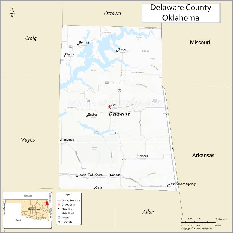
| Seat: | Jay |
| Largest city: | Grove |
| Total Area: | 792 sq mi (2,050 km²) |
| Land Area: | 738 sq mi (1,910 km²) |
| Total Population: | 41,487 |
| Population Density: | 56/sq mi (22/km²) |
| Time zone: | UTC−6 (Central) |
| Summer Time Zone (DST): | UTC−5 (CDT) |
| Website: | delaware.okcounties.org |
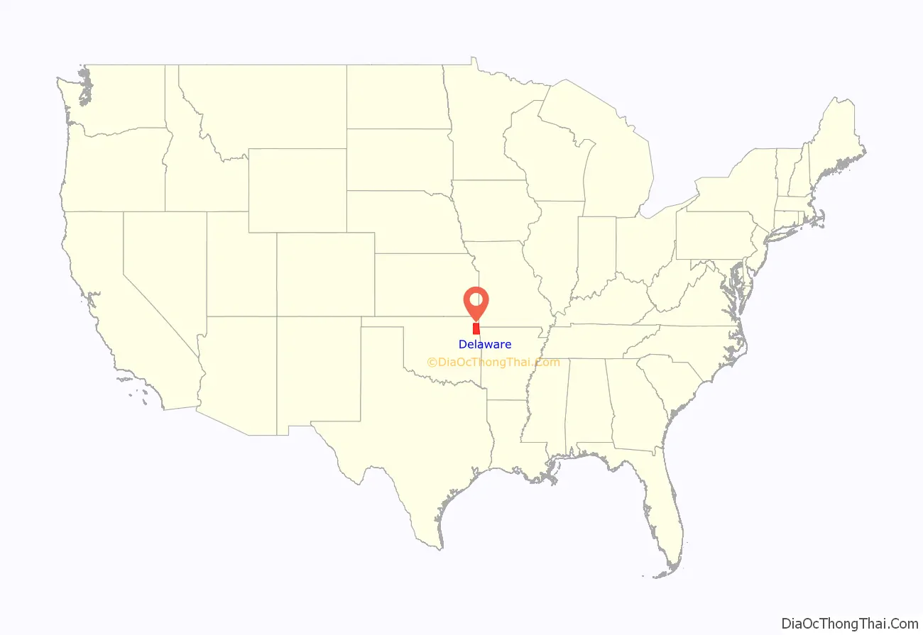
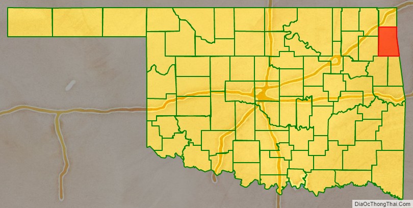
Delaware County location map. Where is Delaware County?
History
Archaeological studies have shown that at least three different periods of prehistoric people had lived in the area covered by Delaware County. These included 23 Archaic, 17 Woodland, and 63 Eastern Villager sites. Artifacts date back between 1400 and 2000 years from the present. Many of these sites have been submerged since the creation of Grand Lake o’ the Cherokees.
Few Native Americans lived in the area until the early nineteenth century, when the federal government began relocating tribes from the Eastern United States. About 1820, a group of Delaware, who had allied with the Cherokee against the Osage, settled Delaware Town, about two miles south of the present town of Eucha. In 1828, the Western Cherokee moved from Arkansas Territory into the area just south of the present Delaware County. In 1832, the Seneca moved from Ohio into an area that included the northeastern part of Delaware County.
The present day county was created at statehood in 1907. Initially, Grove, the only incorporated town in the county, was designated as the county seat. However, a large number of county residents wanted a more centrally located seat. This group founded the town of Jay, where they built a wooden courthouse and won an election to move the county seat. A court suit resolved the dispute in favor of the Jay location.
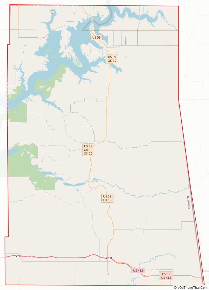
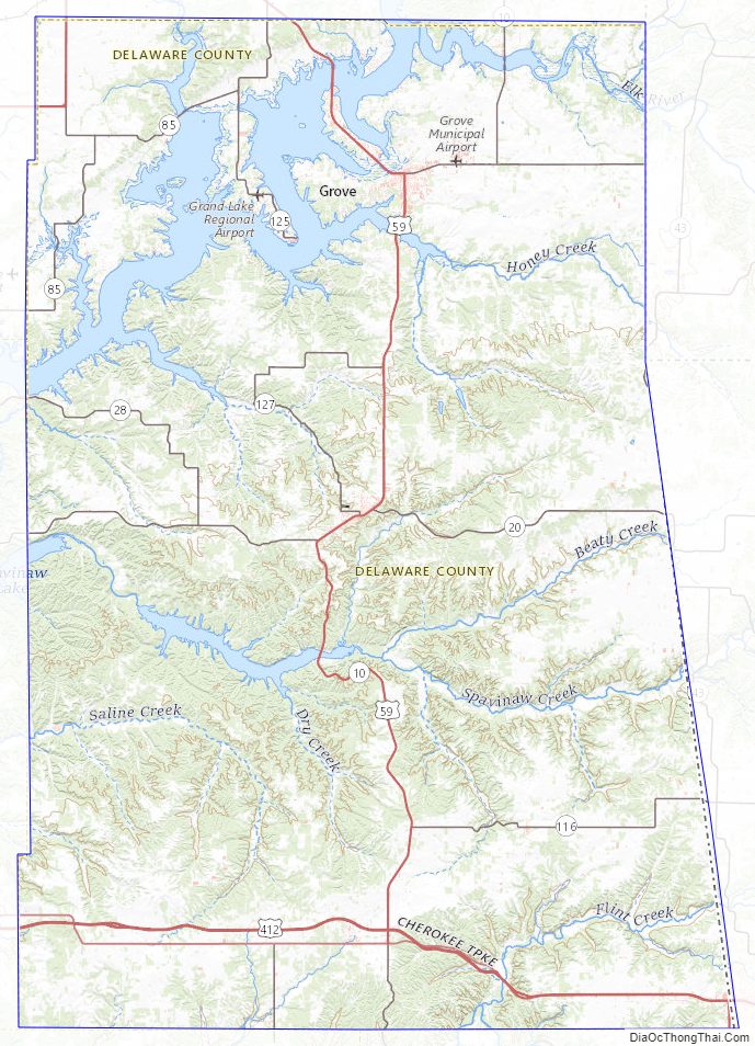
Delaware County Road Map
Geography
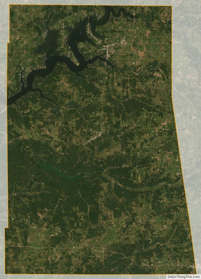
According to the U.S. Census Bureau, the county has a total area of 792 square miles (2,050 km), of which 738 square miles (1,910 km) is land and 54 square miles (140 km) (6.8%) is water. The county lies on the western slope of the Ozark Plateau. There are no oil, gas or mineral resources of economic consequence, but the county has abundant water.
Lake Eucha, a man-made reservoir on Spavinaw Creek, completed in 1952, lies primarily within Delaware County. Grand Lake o’ the Cherokees, completed in 1940, and Lake Spavinaw, completed in 1924, are partly within Delaware County. The Neosho River and the Elk River drain the northern part of the county, while Flint Creek and the Illinois River drain the southern part.
Major highways
- U.S. Highway 59
- U.S. Highway 60
- U.S. Highway 412
- State Highway 10
- State Highway 20
- State Highway 25
- State Highway 28
Adjacent counties
- Ottawa County (north)
- McDonald County, Missouri northeast)
- Benton County, Arkansas (east)
- Adair County (south)
- Cherokee County (south)
- Mayes County (west)
- Craig County (northwest)
Delaware County Topographic Map
Delaware County Satellite Map
Delaware County Outline Map

See also
Map of Oklahoma State and its subdivision:- Adair
- Alfalfa
- Atoka
- Beaver
- Beckham
- Blaine
- Bryan
- Caddo
- Canadian
- Carter
- Cherokee
- Choctaw
- Cimarron
- Cleveland
- Coal
- Comanche
- Cotton
- Craig
- Creek
- Custer
- Delaware
- Dewey
- Ellis
- Garfield
- Garvin
- Grady
- Grant
- Greer
- Harmon
- Harper
- Haskell
- Hughes
- Jackson
- Jefferson
- Johnston
- Kay
- Kingfisher
- Kiowa
- Latimer
- Le Flore
- Lincoln
- Logan
- Love
- Major
- Marshall
- Mayes
- McClain
- McCurtain
- McIntosh
- Murray
- Muskogee
- Noble
- Nowata
- Okfuskee
- Oklahoma
- Okmulgee
- Osage
- Ottawa
- Pawnee
- Payne
- Pittsburg
- Pontotoc
- Pottawatomie
- Pushmataha
- Roger Mills
- Rogers
- Seminole
- Sequoyah
- Stephens
- Texas
- Tillman
- Tulsa
- Wagoner
- Washington
- Washita
- Woods
- Woodward
- Alabama
- Alaska
- Arizona
- Arkansas
- California
- Colorado
- Connecticut
- Delaware
- District of Columbia
- Florida
- Georgia
- Hawaii
- Idaho
- Illinois
- Indiana
- Iowa
- Kansas
- Kentucky
- Louisiana
- Maine
- Maryland
- Massachusetts
- Michigan
- Minnesota
- Mississippi
- Missouri
- Montana
- Nebraska
- Nevada
- New Hampshire
- New Jersey
- New Mexico
- New York
- North Carolina
- North Dakota
- Ohio
- Oklahoma
- Oregon
- Pennsylvania
- Rhode Island
- South Carolina
- South Dakota
- Tennessee
- Texas
- Utah
- Vermont
- Virginia
- Washington
- West Virginia
- Wisconsin
- Wyoming