The Denali Borough is a borough located in the U.S. state of Alaska. As of the 2020 census the population of the borough was 1,619, down from 1,826 in 2010. The borough seat and most populated community is Healy, and its only incorporated place is Anderson. The borough was incorporated in December 1990.
The area was previously a part of the Unorganized Borough, with the Upper Railbelt School District serving as the region’s rural education attendance area (which was replaced by a school district under the borough’s umbrella upon incorporation).
The earliest inhabitants were nomadic native Alaskans. A mining camp was established near Healy prior to 1902, and construction of the Alaska Railroad brought additional settlers to the area in the early 1920s. Clear Space Force Station, the Usibelli Coal Mine and tourism at the Denali National Park and Preserve have brought growth and development.
| Name: | Denali Borough |
|---|---|
| FIPS code: | 02-068 |
| State: | Alaska |
| Named for: | Denali |
| Seat: | Healy |
| Total Area: | 12,777 sq mi (33,090 km²) |
| Land Area: | 12,751 sq mi (33,020 km²) |
| Total Population: | 1,619 |
| Population Density: | 0.13/sq mi (0.049/km²) |
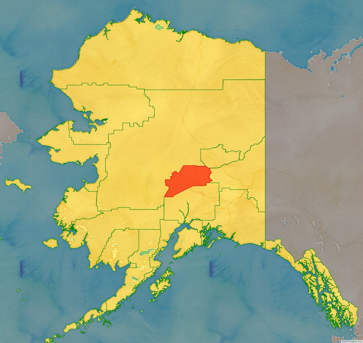
Denali Borough location map. Where is Denali Borough?
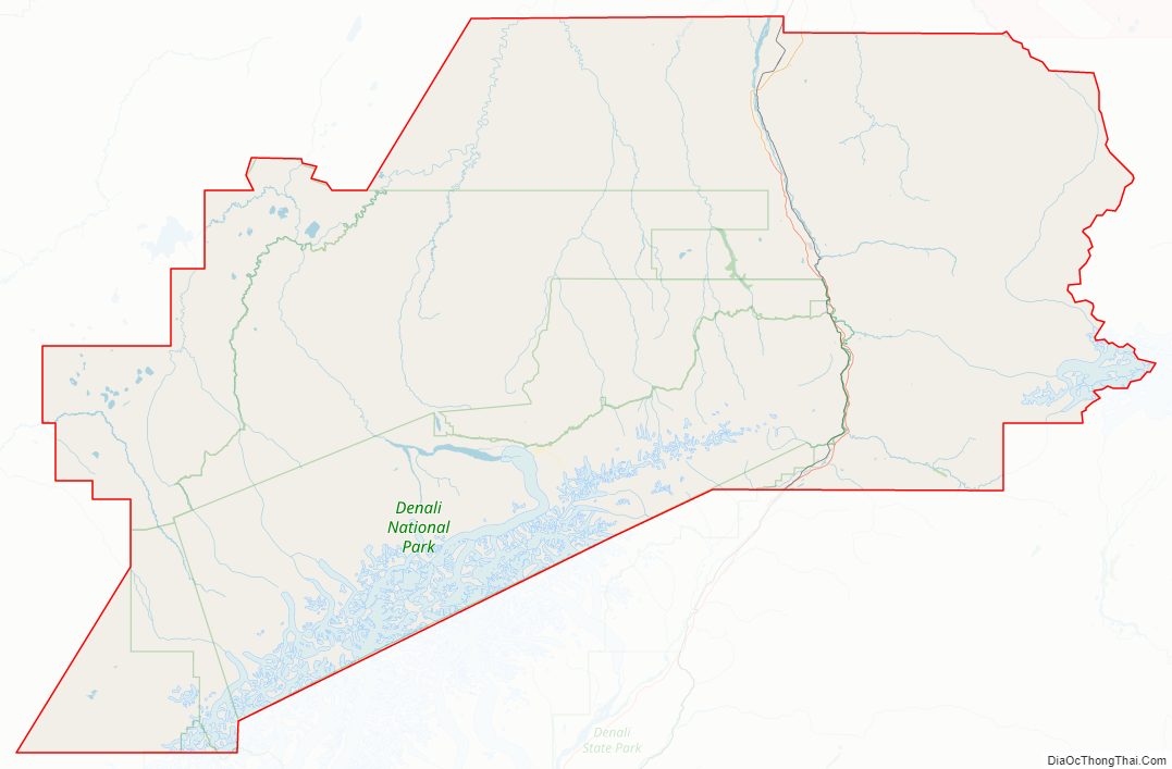
Denali Borough Road Map
Geography
The borough has a total area of 12,777 square miles (33,090 km), of which 12,751 square miles (33,020 km) is land and 26 square miles (67 km) (0.2%) is water.
The borough contains North America’s highest point: Denali (formerly Mount McKinley), from which it derives its name, at 6,190.5 m (20,310 ft).
National protected area
- Denali National Park and Preserve (part)
- Denali Wilderness (part)
Adjacent boroughs and census areas
- Yukon-Koyukuk Census Area – west/north
- Fairbanks North Star Borough – northeast
- Southeast Fairbanks Census Area – east
- Matanuska-Susitna Borough – south
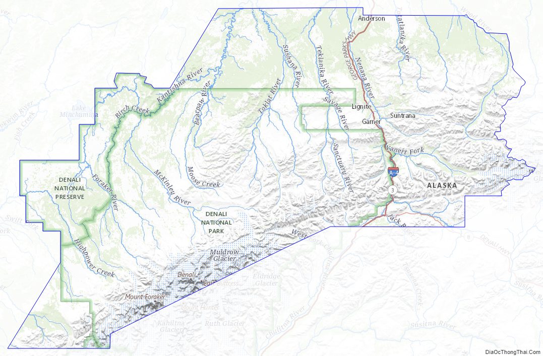
Denali Borough Topographic Map
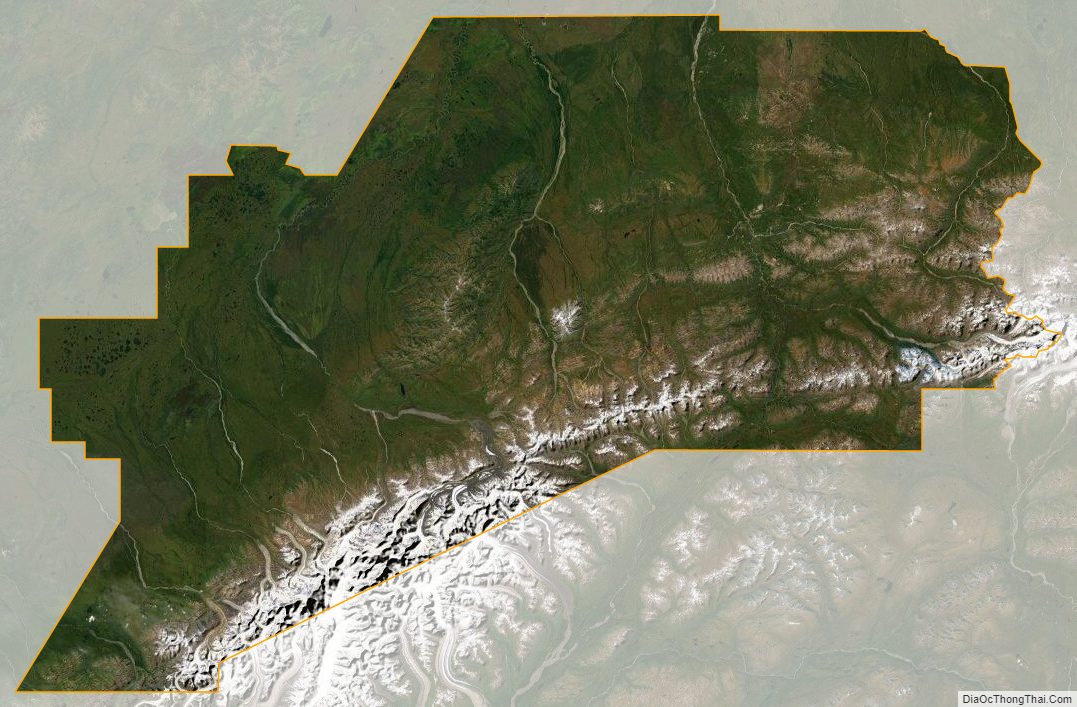
Denali Borough Satellite Map
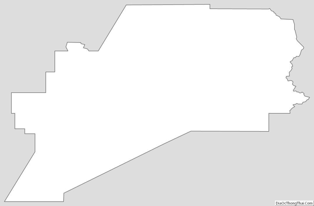
Denali Borough Outline Map
See also
Map of Alaska State and its subdivision:- Aleutians East
- Aleutians West
- Anchorage
- Bethel
- Bristol Bay
- Denali
- Dillingham
- Fairbanks North Star
- Haines
- Juneau
- Kenai Peninsula
- Ketchikan Gateway
- Kodiak Island
- Lake and Peninsula
- Matanuska-Susitna
- Nome
- North Slope
- Northwest Arctic
- Prince of Wales-Outer Ketchi
- Sitka
- Skagway-Yakutat-Angoon
- Southeast Fairbanks
- Valdez-Cordova
- Wade Hampton
- Wrangell-Petersburg
- Yukon-Koyukuk
- Alabama
- Alaska
- Arizona
- Arkansas
- California
- Colorado
- Connecticut
- Delaware
- District of Columbia
- Florida
- Georgia
- Hawaii
- Idaho
- Illinois
- Indiana
- Iowa
- Kansas
- Kentucky
- Louisiana
- Maine
- Maryland
- Massachusetts
- Michigan
- Minnesota
- Mississippi
- Missouri
- Montana
- Nebraska
- Nevada
- New Hampshire
- New Jersey
- New Mexico
- New York
- North Carolina
- North Dakota
- Ohio
- Oklahoma
- Oregon
- Pennsylvania
- Rhode Island
- South Carolina
- South Dakota
- Tennessee
- Texas
- Utah
- Vermont
- Virginia
- Washington
- West Virginia
- Wisconsin
- Wyoming