Dickinson County is a county in the Upper peninsula of the U.S. state of Michigan. As of the 2020 census, the population was 25,947. The county seat is Iron Mountain. Dickinson is Michigan’s newest county, formed in 1891 from parts of Marquette, Menominee, and Iron counties. It was named for Donald M. Dickinson, who served as U.S. Postmaster General under President Grover Cleveland.
Dickinson County is part of the Iron Mountain, MI–WI Micropolitan Statistical Area.
| Name: | Dickinson County |
|---|---|
| FIPS code: | 26-043 |
| State: | Michigan |
| Founded: | 1891 |
| Named for: | Donald M. Dickinson |
| Seat: | Iron Mountain |
| Largest city: | Iron Mountain |
| Total Area: | 777 sq mi (2,010 km²) |
| Land Area: | 761 sq mi (1,970 km²) |
| Total Population: | 25,947 |
| Population Density: | 34/sq mi (13/km²) |
| Time zone: | UTC−6 (Central) |
| Summer Time Zone (DST): | UTC−5 (CDT) |
| Website: | www.dickinsoncountymi.gov |
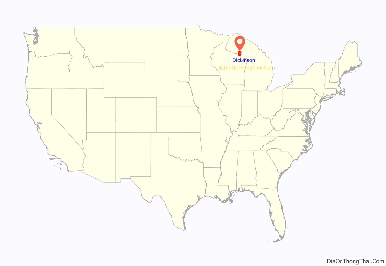
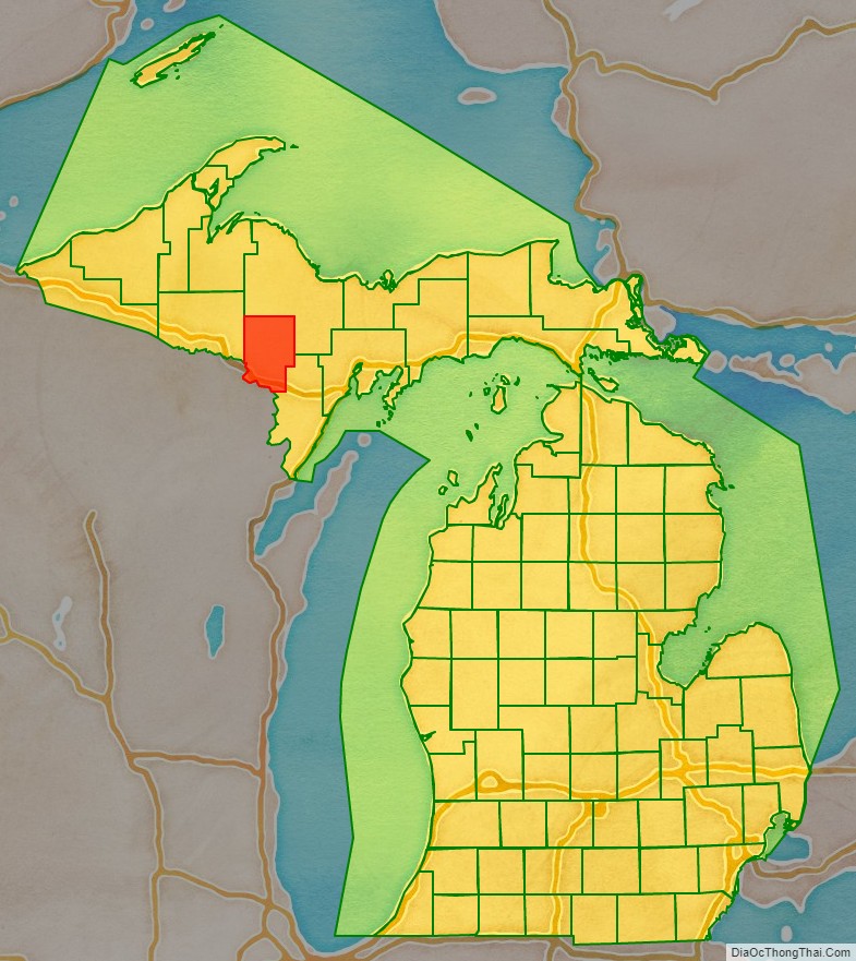
Dickinson County location map. Where is Dickinson County?
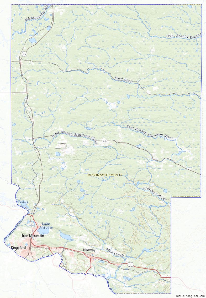
Dickinson County Road Map
Geography
According to the U.S. Census Bureau, the county has a total area of 777 square miles (2,010 km), of which 761 square miles (1,970 km) is land and 16 square miles (41 km) (2.0%) is water. Along with Iron County, it is one of only two landlocked counties in the Upper Peninsula.
Major highways
- US 2
- US 8
- US 141
- M-69
- M-95
- G-69
Airport
- KIMT – Ford Airport
Adjacent counties
- Marquette County (north/EST Border)
- Menominee County (southeast)
- Marinette County, Wisconsin (south)
- Florence County, Wisconsin (southwest)
- Iron County (west)
Dickinson County Topographic Map
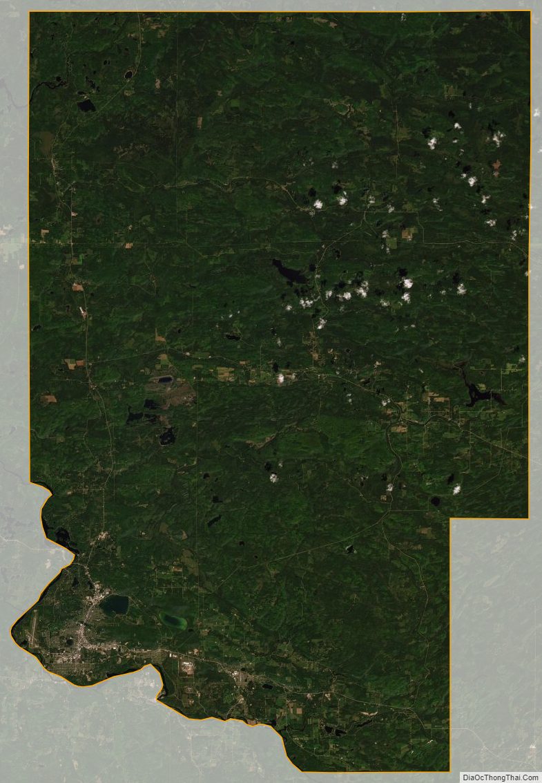
Dickinson County Satellite Map
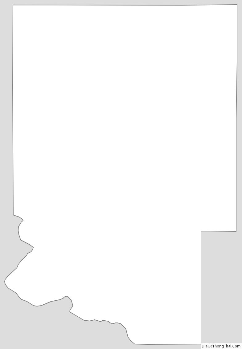
Dickinson County Outline Map
See also
Map of Michigan State and its subdivision:- Alcona
- Alger
- Allegan
- Alpena
- Antrim
- Arenac
- Baraga
- Barry
- Bay
- Benzie
- Berrien
- Branch
- Calhoun
- Cass
- Charlevoix
- Cheboygan
- Chippewa
- Clare
- Clinton
- Crawford
- Delta
- Dickinson
- Eaton
- Emmet
- Genesee
- Gladwin
- Gogebic
- Grand Traverse
- Gratiot
- Hillsdale
- Houghton
- Huron
- Ingham
- Ionia
- Iosco
- Iron
- Isabella
- Jackson
- Kalamazoo
- Kalkaska
- Kent
- Keweenaw
- Lake
- Lake Hurron
- Lake Michigan
- Lake St. Clair
- Lake Superior
- Lapeer
- Leelanau
- Lenawee
- Livingston
- Luce
- Mackinac
- Macomb
- Manistee
- Marquette
- Mason
- Mecosta
- Menominee
- Midland
- Missaukee
- Monroe
- Montcalm
- Montmorency
- Muskegon
- Newaygo
- Oakland
- Oceana
- Ogemaw
- Ontonagon
- Osceola
- Oscoda
- Otsego
- Ottawa
- Presque Isle
- Roscommon
- Saginaw
- Saint Clair
- Saint Joseph
- Sanilac
- Schoolcraft
- Shiawassee
- Tuscola
- Van Buren
- Washtenaw
- Wayne
- Wexford
- Alabama
- Alaska
- Arizona
- Arkansas
- California
- Colorado
- Connecticut
- Delaware
- District of Columbia
- Florida
- Georgia
- Hawaii
- Idaho
- Illinois
- Indiana
- Iowa
- Kansas
- Kentucky
- Louisiana
- Maine
- Maryland
- Massachusetts
- Michigan
- Minnesota
- Mississippi
- Missouri
- Montana
- Nebraska
- Nevada
- New Hampshire
- New Jersey
- New Mexico
- New York
- North Carolina
- North Dakota
- Ohio
- Oklahoma
- Oregon
- Pennsylvania
- Rhode Island
- South Carolina
- South Dakota
- Tennessee
- Texas
- Utah
- Vermont
- Virginia
- Washington
- West Virginia
- Wisconsin
- Wyoming