Drew County is a county located in the southeast region of the U.S. state of Arkansas. As of the 2020 census, the population was 17,350. The county seat and largest city is Monticello. Drew County was formed on November 26, 1846, and named for Thomas Drew, the third governor of Arkansas.
Located on the edge of the Arkansas Delta and the Arkansas Timberlands, its fertile lowland soils produced prosperity for early settlers in the antebellum era. Cotton was the major commodity crop, cultivated by the labor of enslaved African Americans. Corn, apples, peaches and tomatoes were also grown through their work.
Following the Civil War, the boundaries of Drew County changed as some property, including Mill Creek Township, was reassigned to the new Lincoln County established by the Reconstruction-era legislature in 1871.
In the late 19th and early 20th centuries, timber harvesting became a more important industry here than cotton. The population declined from 1910 to 1970, as fewer workers were needed in timber. In addition, many African Americans left the oppressive social conditions of racial violence, disfranchisement, and Jim Crow laws to join the Great Migration to northern and midwestern industrial cities. After World War II, an even greater number migrated to the West Coast.
As a variety of industries began to move to the county, several colleges were founded here in the early part of the 20th century. One developed as University of Arkansas at Monticello. Today, the county has a diverse economy and is an economic center in southeast Arkansas. Its population is majority white; these voters are mostly affiliated with the Republican Party.
| Name: | Drew County |
|---|---|
| FIPS code: | 05-043 |
| State: | Arkansas |
| Founded: | November 26, 1846 |
| Named for: | Thomas Drew |
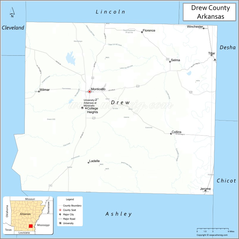
| Seat: | Monticello |
| Largest city: | Monticello |
| Total Area: | 836 sq mi (2,170 km²) |
| Land Area: | 828 sq mi (2,140 km²) |
| Total Population: | 17,350 |
| Population Density: | 21/sq mi (8.0/km²) |
| Time zone: | UTC−6 (Central) |
| Summer Time Zone (DST): | UTC−5 (CDT) |
| Website: | drewcounty.arkansas.gov |
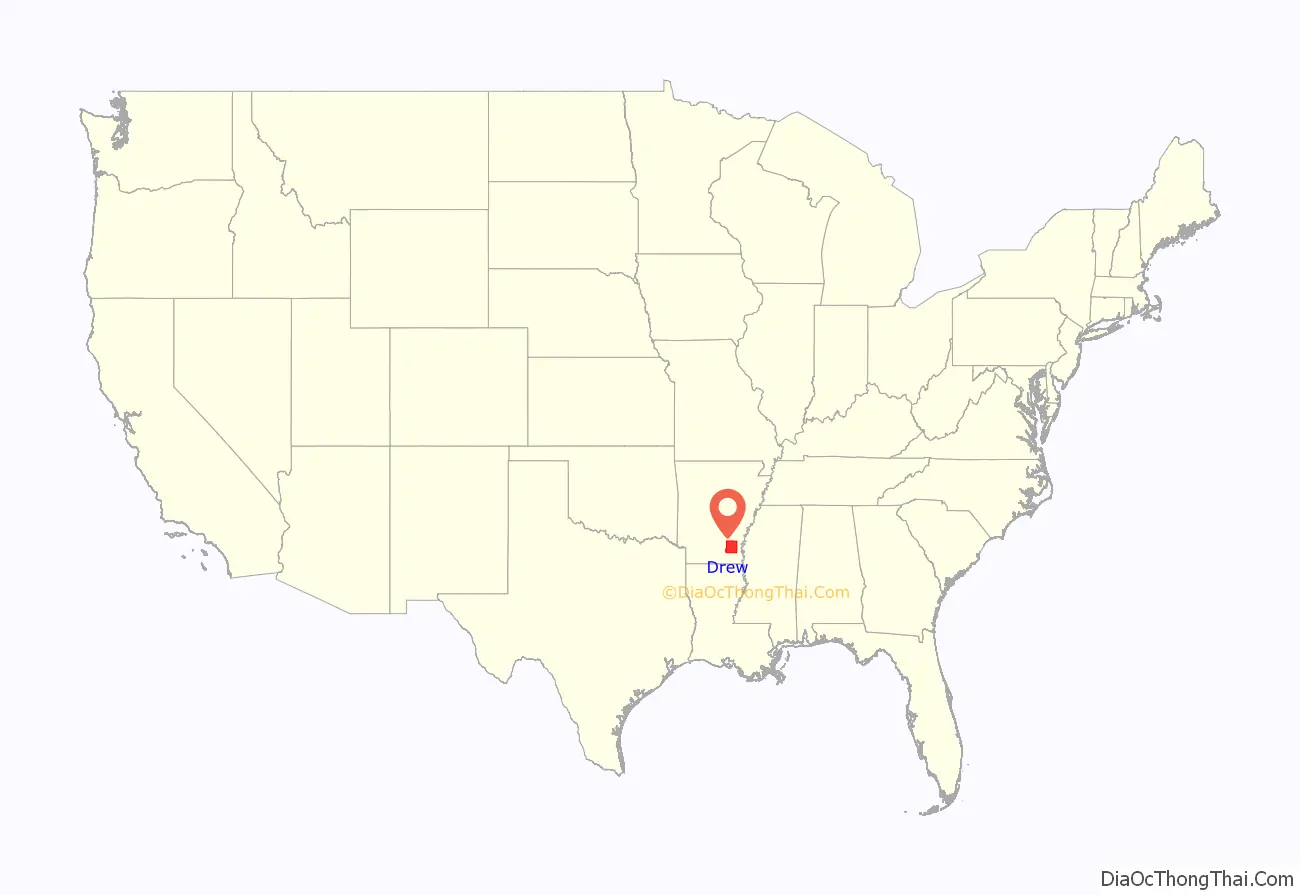
Drew County location map. Where is Drew County?
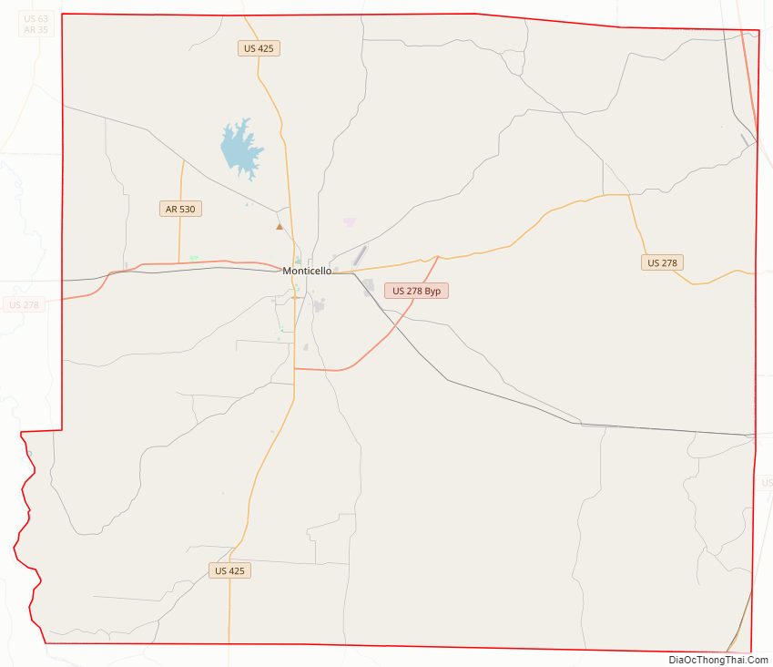
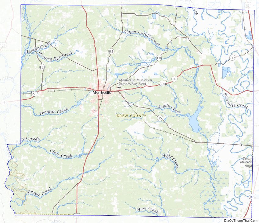
Drew County Road Map
Geography
According to the U.S. Census Bureau, the county has a total area of 836 square miles (2,170 km), of which 828 square miles (2,140 km) is land and 7.3 square miles (19 km) (0.9%) is water.
Loggy Bayou is a swamp in Drew County, not to be confused with a bayou of the same name in northwestern Louisiana.
Major highways
- Future Interstate 69
- U.S. Highway 65
- U.S. Highway 165
- U.S. Highway 278
- U.S. Highway 425
- Highway 530
- Highway 4
- Highway 8
- Highway 35
- Highway 133
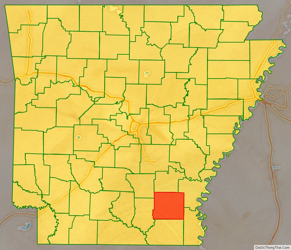
Adjacent counties
- Lincoln County (north)
- Desha County (northeast)
- Chicot County (southeast)
- Ashley County (south)
- Bradley County (west)
- Cleveland County (northwest)
Drew County Topographic Map
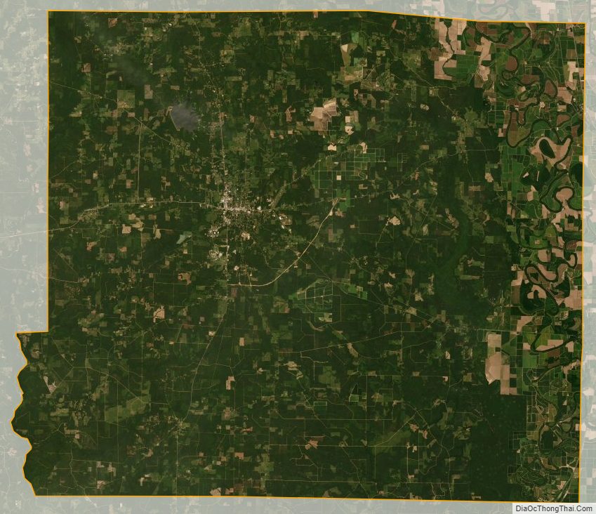
Drew County Satellite Map
Drew County Outline Map

See also
Map of Arkansas State and its subdivision:- Arkansas
- Ashley
- Baxter
- Benton
- Boone
- Bradley
- Calhoun
- Carroll
- Chicot
- Clark
- Clay
- Cleburne
- Cleveland
- Columbia
- Conway
- Craighead
- Crawford
- Crittenden
- Cross
- Dallas
- Desha
- Drew
- Faulkner
- Franklin
- Fulton
- Garland
- Grant
- Greene
- Hempstead
- Hot Spring
- Howard
- Independence
- Izard
- Jackson
- Jefferson
- Johnson
- Lafayette
- Lawrence
- Lee
- Lincoln
- Little River
- Logan
- Lonoke
- Madison
- Marion
- Miller
- Mississippi
- Monroe
- Montgomery
- Nevada
- Newton
- Ouachita
- Perry
- Phillips
- Pike
- Poinsett
- Polk
- Pope
- Prairie
- Pulaski
- Randolph
- Saint Francis
- Saline
- Scott
- Searcy
- Sebastian
- Sevier
- Sharp
- Stone
- Union
- Van Buren
- Washington
- White
- Woodruff
- Yell
- Alabama
- Alaska
- Arizona
- Arkansas
- California
- Colorado
- Connecticut
- Delaware
- District of Columbia
- Florida
- Georgia
- Hawaii
- Idaho
- Illinois
- Indiana
- Iowa
- Kansas
- Kentucky
- Louisiana
- Maine
- Maryland
- Massachusetts
- Michigan
- Minnesota
- Mississippi
- Missouri
- Montana
- Nebraska
- Nevada
- New Hampshire
- New Jersey
- New Mexico
- New York
- North Carolina
- North Dakota
- Ohio
- Oklahoma
- Oregon
- Pennsylvania
- Rhode Island
- South Carolina
- South Dakota
- Tennessee
- Texas
- Utah
- Vermont
- Virginia
- Washington
- West Virginia
- Wisconsin
- Wyoming