
Duval County is a county located in the U.S. state of Texas. As of the 2020 census, its population was 9,831. The county seat is San Diego. The county was founded in 1858 and later organized in 1876. It is named for Burr H. Duval, a soldier in the Texas Revolution who died in the Goliad Massacre.
| Name: | Duval County |
|---|---|
| FIPS code: | 48-131 |
| State: | Texas |
| Founded: | 1876 |
| Named for: | Burr H. Duval |
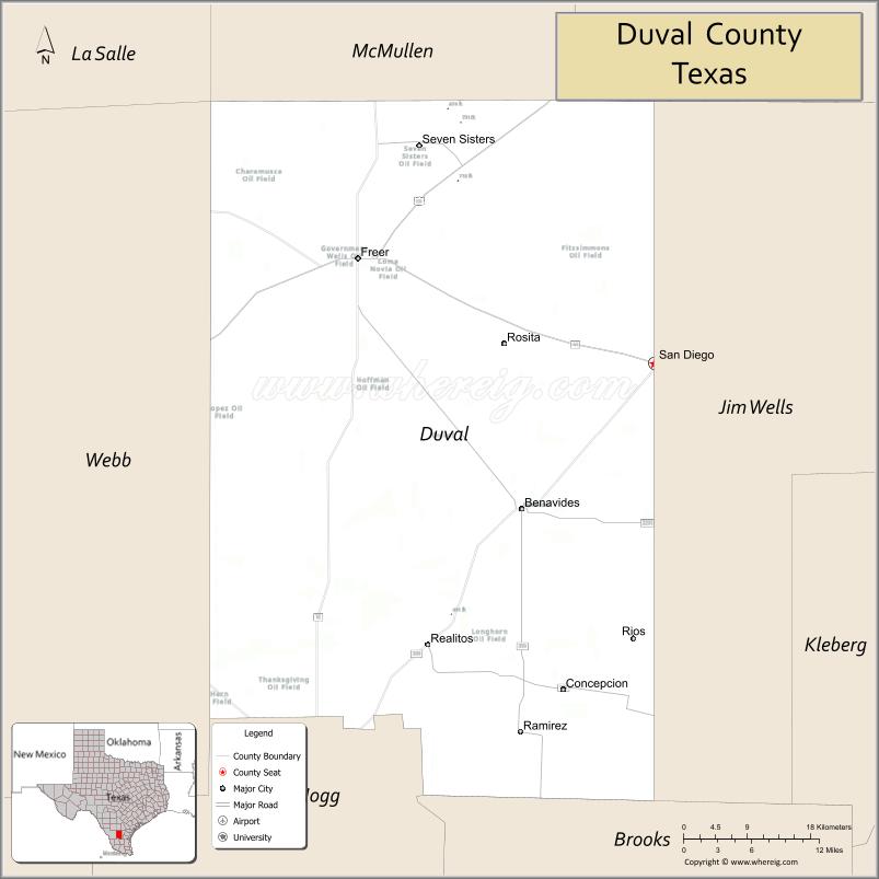
| Seat: | San Diego |
| Largest city: | San Diego |
| Total Area: | 1,796 sq mi (4,650 km²) |
| Land Area: | 1,793 sq mi (4,640 km²) |
| Total Population: | 9,831 |
| Population Density: | 5.5/sq mi (2.1/km²) |
| Time zone: | UTC−6 (Central) |
| Summer Time Zone (DST): | UTC−5 (CDT) |
| Website: | www.co.duval.tx.us |
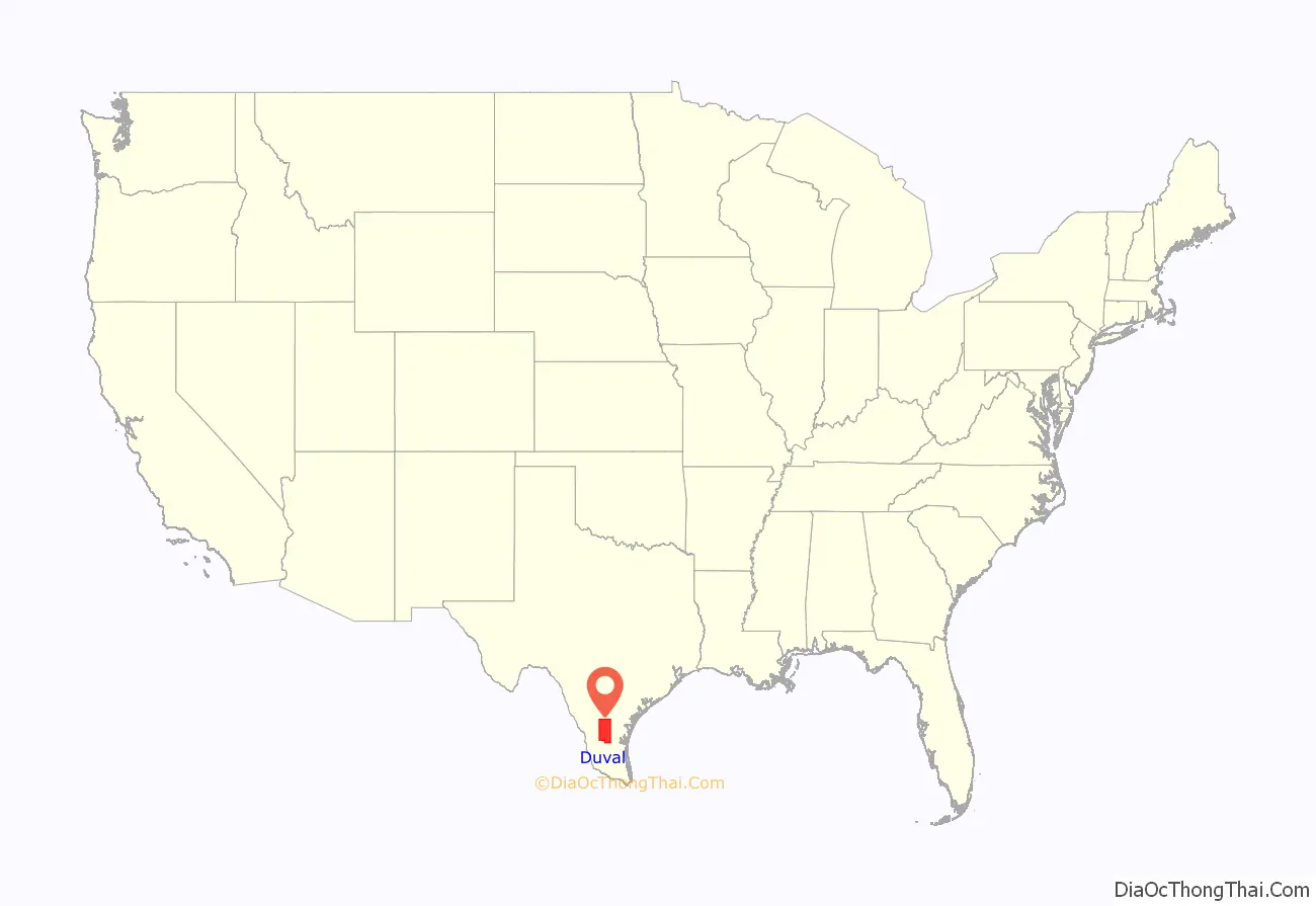
Duval County location map. Where is Duval County?
History
Duval County’s development began during the Viceroyalty of New Spain (1521–1821). In 1804, six years before Father Miguel Hidalgo y Costilla launched Mexico’s successful independence movement from Spain, Jose Faustino Contreras, surveyor general of San Luis Potosi, charted the county’s landscape, which attracted colonists from Mier, Tamaulipas.
On February 1, 1858, the Texas Legislature established Duval County. The Texas Almanac of 1867 reported that Duval and nearby Dimmit County had only four stock raisers and their population was unlikely to grow much, absent the discovery of mineral wealth. Not long after, a wave of Anglo immigrants entered the county to raise sheep. Englishmen, Frenchmen, Germans, Irishmen, and Scots came. During this boom, the county seat enjoyed formal balls and haute cuisine. The Hotel Martinet’s Sunday feast drew patrons from Corpus Christi, 50 miles (80 km) to the East.
The death rate rivaled Tombstone, Arizona‘s. Although some died under the code duello, most of Duval County’s deaths were murders that primarily victimized the legacy Spanish-speaking population. When a great pile of cowhides presumed to have come from stolen animals was discovered near the county line, a vigilante group from Duval and McMullen County lynched 15 Spanish-speaking Texans there.
Prosperity in the 1880s placated Anglo animosity. When the Texas Mexican Railway began operating in 1881, its San Diego station served as an important hub for trading hides, wool and cotton, but the boom evaporated when sheep began dying during the Winter of 1886–1887, triggering the Sheep Wars that once again primarily victimized the legacy Spanish-speaking population.
During the twentieth century, the Parr family established a political machine that dominated politics in Duval and nearby Jim Wells counties. The family was instrumental in the 1948 election of Lyndon B. Johnson to the US Senate, and influenced the outcome of the 1960 presidential election which threw Texas to John F. Kennedy.
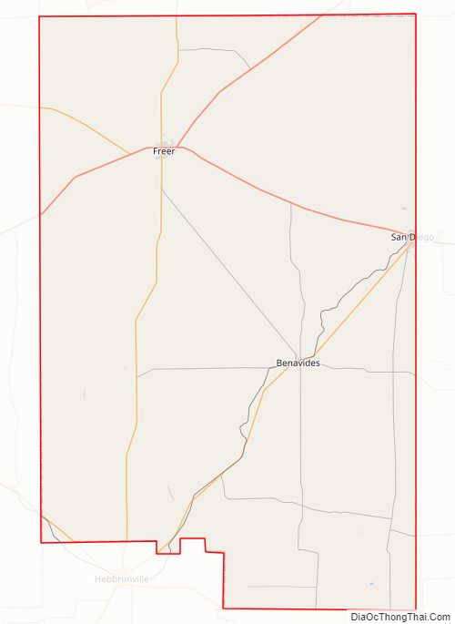
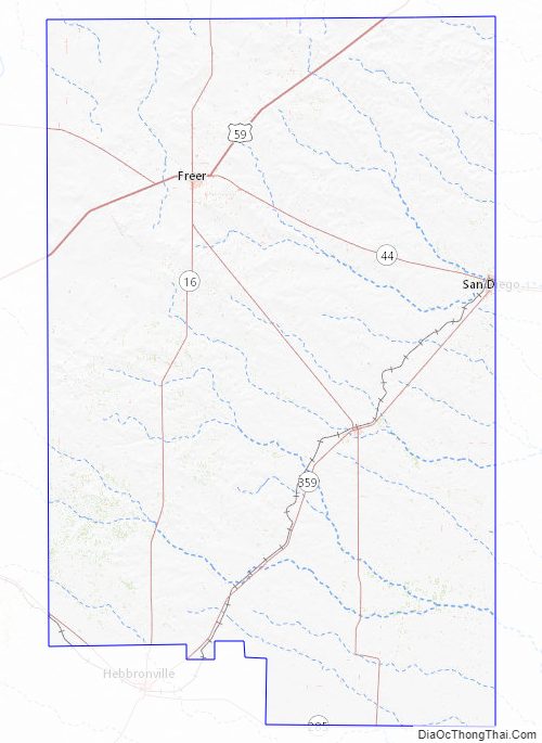
Duval County Road Map
Geography
According to the U.S. Census Bureau, the county has a total area of 1,796 square miles (4,650 km), of which 1,793 square miles (4,640 km) is land and 2.1 square miles (5.4 km) (0.1%) is water. The county overlies the Piedras Pintas salt dome, scheduled for at hydrogen storage.
Major highways
- U.S. Highway 59
- Interstate 69W is currently under construction and will follow the current route of U.S. 59 in most places.
- State Highway 16
- State Highway 44
- State Highway 285
- State Highway 339
- State Highway 359
- Farm to Market Road 716
- Farm to Market Road 1329
- Farm to Market Road 2295
- Farm to Market Road 3196
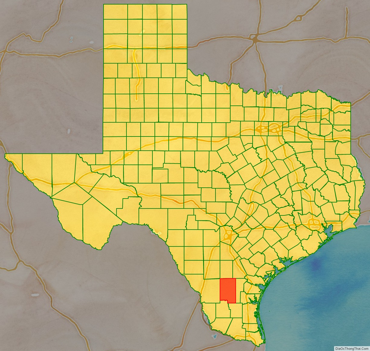
Adjacent counties
- McMullen County (north)
- Live Oak County (northeast)
- Jim Wells County (east)
- Brooks County (southeast)
- Jim Hogg County (south)
- Webb County (west)
- La Salle County (northwest)
Duval County Topographic Map
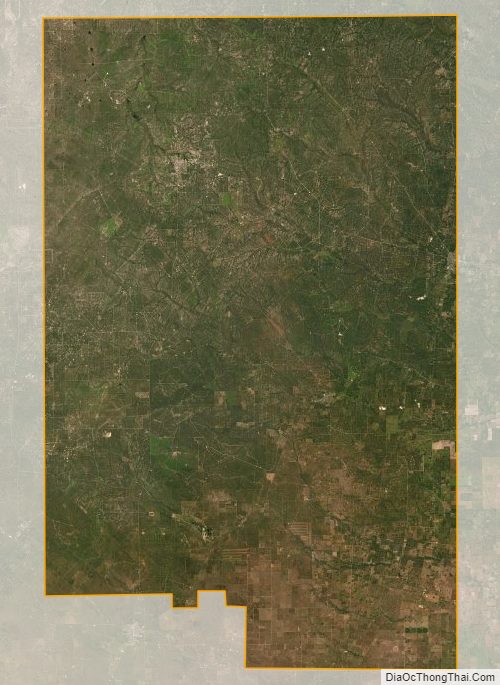
Duval County Satellite Map
Duval County Outline Map

See also
[sc name=”see_also_usa__texas”]
[sc name=”see_also_usa”]