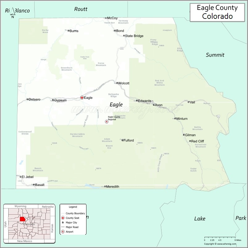
Eagle County is a county located in the U.S. state of Colorado. As of the 2020 census, the population was 55,731. The county seat is the Town of Eagle and the most populous community is Edwards. The county is named for the Eagle River.
Eagle County comprises the Edwards, CO Micropolitan Statistical Area.
| Name: | Eagle County |
|---|---|
| FIPS code: | 08-037 |
| State: | Colorado |
| Founded: | February 11, 1883 |
| Named for: | Eagle River |
| Seat: | Eagle |
| Total Area: | 1,692 sq mi (4,380 km²) |
| Land Area: | 1,685 sq mi (4,360 km²) |
| Total Population: | 55,727 |
| Population Density: | 33/sq mi (13/km²) |
| Time zone: | UTC−7 (Mountain) |
| Summer Time Zone (DST): | UTC−6 (MDT) |
| Website: | www.eaglecounty.us |
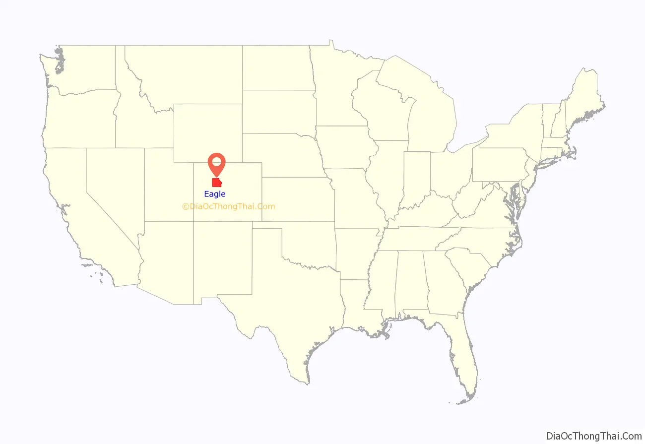
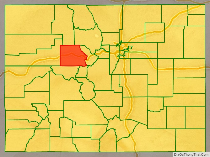
Eagle County location map. Where is Eagle County?
History
Eagle County was created by the Colorado legislature on February 11, 1883, from portions of Summit County. It was named after the Eagle River, which runs through the county. The county seat was originally set in Red Cliff, Colorado, but was moved to the town of Eagle in 1921.
The Ground Hog Mine, near Red Cliff, produced gold and silver in two vertical veins in 1887. One vein, or “chimney”, contained gold in crystalline form, cemented by iron, while the other contained wire gold in the form of “ram’s horns”. One of these ram’s horns is now on display in the Harvard Mineralogical Museum.
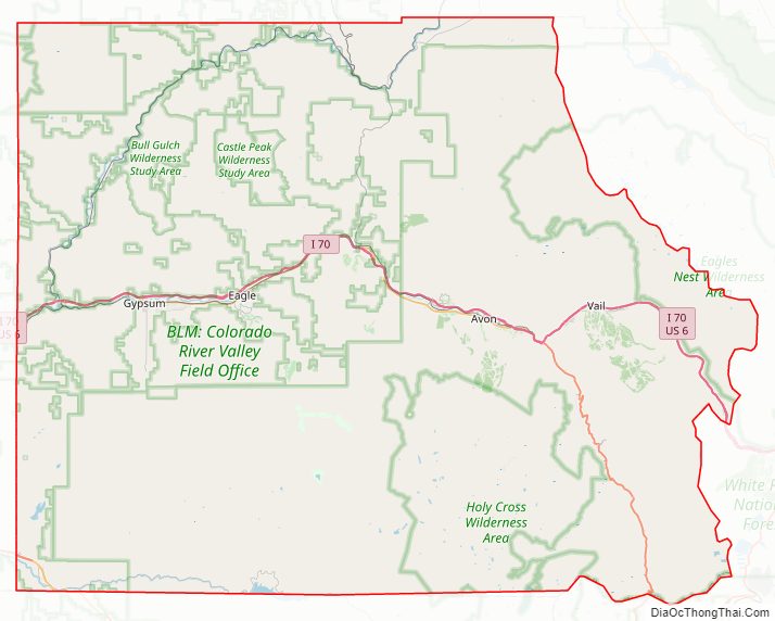
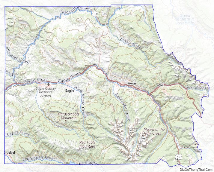
Eagle County Road Map
Geography
The highest elevation in the county is the Mount of the Holy Cross which rises to 14,011 feet (4,271 m) above sea level. The lowest elevation is on the Colorado River at 6,128 feet (1,868 m).
According to the U.S. Census Bureau, the county has a total area of 1,692 square miles (4,380 km), of which 1,685 square miles (4,360 km) is land and 7.3 square miles (19 km) (0.4%) is water.
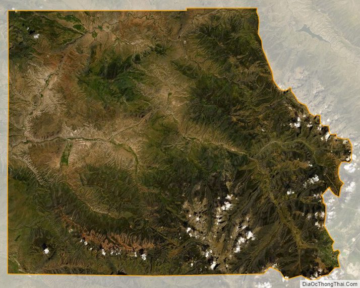
Much of the county is taken up by White River National Forest, and much of the rest is managed by the Bureau of Land Management. Interstate 70 crosses the county from east to west.
The Eagle River rises in the southeastern part of the county. It receives Gore Creek at Dowds Junction, and joins the Colorado River in the west. Fryingpan River and the Roaring Fork River intersect the southwest corner of the county.
Adjacent counties
- Grand County – northeast
- Summit County – east
- Lake County – south
- Pitkin County – southwest
- Garfield County – west
- Routt County – northwest
Major highways
- Interstate 70
- I-70 BL
- I-70 BL
- I-70 BL
- U.S. Highway 6
- U.S. Highway 24
- State Highway 82
- State Highway 131
National protected areas
- White River National Forest
- Eagles Nest Wilderness
- Flat Tops Wilderness
- Holy Cross Wilderness
State protected area
- Sylvan Lake State Park
Trails
- Colorado Trail
- Continental Divide National Scenic Trail
- Two Elk National Recreation Trail
- Vail Pass National Recreation Trail
Scenic byways
- Colorado River Headwaters National Scenic Byway
- Top of the Rockies National Scenic Byway
Eagle County Topographic Map
Eagle County Satellite Map
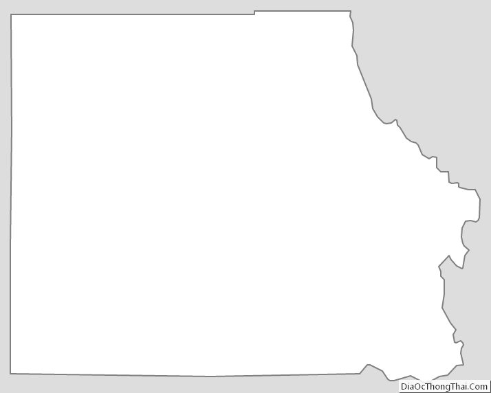
Eagle County Outline Map
See also
Map of Colorado State and its subdivision:- Adams
- Alamosa
- Arapahoe
- Archuleta
- Baca
- Bent
- Boulder
- Broomfield
- Chaffee
- Cheyenne
- Clear Creek
- Conejos
- Costilla
- Crowley
- Custer
- Delta
- Denver
- Dolores
- Douglas
- Eagle
- El Paso
- Elbert
- Fremont
- Garfield
- Gilpin
- Grand
- Gunnison
- Hinsdale
- Huerfano
- Jackson
- Jefferson
- Kiowa
- Kit Carson
- La Plata
- Lake
- Larimer
- Las Animas
- Lincoln
- Logan
- Mesa
- Mineral
- Moffat
- Montezuma
- Montrose
- Morgan
- Otero
- Ouray
- Park
- Phillips
- Pitkin
- Prowers
- Pueblo
- Rio Blanco
- Rio Grande
- Routt
- Saguache
- San Juan
- San Miguel
- Sedgwick
- Summit
- Teller
- Washington
- Weld
- Yuma
- Alabama
- Alaska
- Arizona
- Arkansas
- California
- Colorado
- Connecticut
- Delaware
- District of Columbia
- Florida
- Georgia
- Hawaii
- Idaho
- Illinois
- Indiana
- Iowa
- Kansas
- Kentucky
- Louisiana
- Maine
- Maryland
- Massachusetts
- Michigan
- Minnesota
- Mississippi
- Missouri
- Montana
- Nebraska
- Nevada
- New Hampshire
- New Jersey
- New Mexico
- New York
- North Carolina
- North Dakota
- Ohio
- Oklahoma
- Oregon
- Pennsylvania
- Rhode Island
- South Carolina
- South Dakota
- Tennessee
- Texas
- Utah
- Vermont
- Virginia
- Washington
- West Virginia
- Wisconsin
- Wyoming