Erie County is a county in the Commonwealth of Pennsylvania. It is the northernmost county in Pennsylvania. As of the 2020 census, the population was 270,876. Its county seat is Erie. The county was created in 1800 and later organized in 1803.
Erie County comprises the Erie, PA Metropolitan Statistical Area.
| Name: | Erie County |
|---|---|
| FIPS code: | 42-049 |
| State: | Pennsylvania |
| Founded: | November 7, 1803 |
| Named for: | Erie people |
| Seat: | Erie |
| Largest city: | Erie |
| Total Area: | 1,558 sq mi (4,040 km²) |
| Land Area: | 799 sq mi (2,070 km²) |
| Total Population: | 270,876 |
| Population Density: | 339.1/sq mi (130.9/km²) |
| Time zone: | UTC−5 (Eastern) |
| Summer Time Zone (DST): | UTC−4 (EDT) |
| Website: | www.eriecountypa.gov |
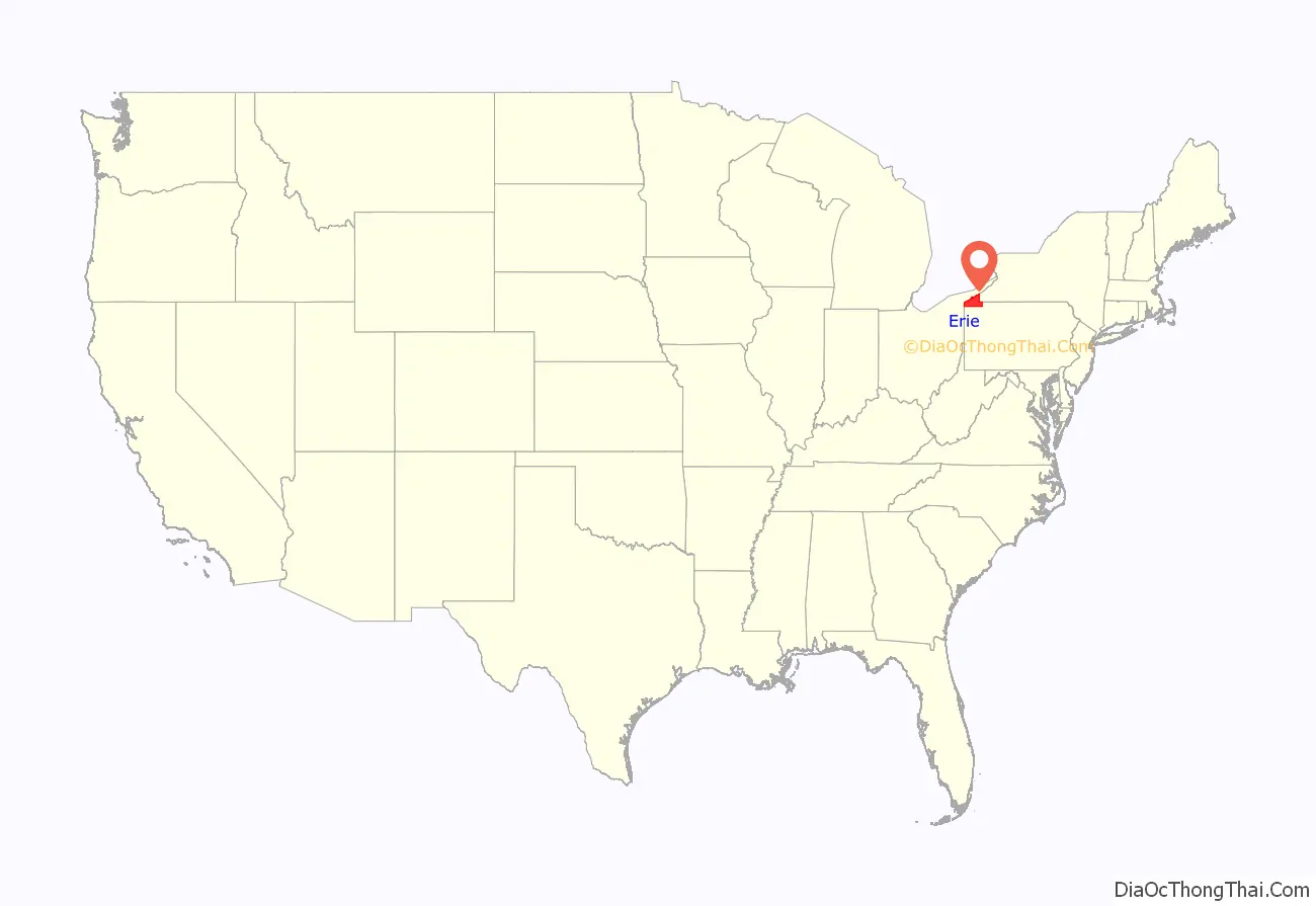
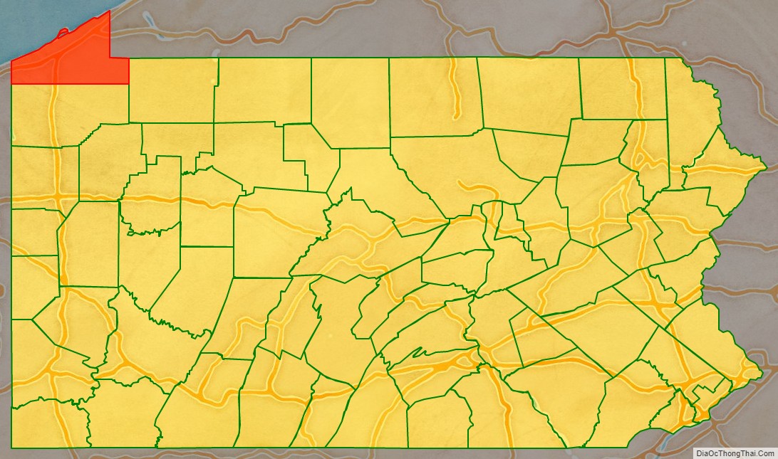
Erie County location map. Where is Erie County?
History
Erie County was established on March 12, 1800, from part of Allegheny County, which absorbed the lands of the disputed Erie Triangle in 1792. Prior to 1792, the region was claimed by both New York and Pennsylvania and so no county demarcations were made until the federal government intervened.
Since Erie County and its newly established neighboring Counties of Crawford, Mercer, Venango, and Warren were initially unable to sustain themselves, a five-county administrative organization was established at Crawford County’s Meadville to temporarily manage government affairs in the region. Erie first elected its own county officials in 1803. Unfortunately, on March 23, 1823, the Erie County Courthouse burned and all county records to that point were destroyed.
The county was originally settled by immigrants of “Yankee” stock (immigrants from New England and the western part of New York descended from the English Puritans whose ancestors settled New England in the colonial era). Erie County resembled Upstate New York more than it did Pennsylvania with its population primarily consisting of settlers from Connecticut, Rhode Island and Maine. Roads were laid out, post routes established, public buildings erected and people were invited to move there. The original settlers were entirely of New England origins or were Yankees from upstate New York whose families had moved to that place from New England only one generation earlier, in the aftermath of the Revolutionary War. This resulted in Erie County being culturally very contiguous with early New England culture.
Erie County was part of the Underground Railroad giving slaves the ability to gain freedom through Lake Erie into Canada, East through New York State, or to stay in Erie with the help of abolitionists and the free black community. Today, the “Journey to Freedom” educational program provides an interactive program on the Underground Railroad experience.
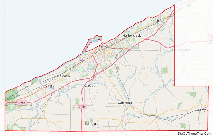
Erie County Road Map

Geography
According to the U.S. Census Bureau, the county has a total area of 1,558 square miles (4,040 km), of which 799 square miles (2,070 km) is land and 759 square miles (1,970 km) (49%) is water. It is the largest county in Pennsylvania by total area. With the exception of a high ridge several miles from the lake, running nearly parallel with its shore, the terrain is generally rolling and well watered. It is the only county in the state that occupies a significant amount of land north of the 42nd parallel.
There are two cities in Erie County: the city of Erie and the city of Corry. Other notable population centers include Millcreek, Harborcreek and Fairview townships, and the boroughs of Edinboro, North East, Girard, Waterford and Union City. Erie County is bordered on the northeast by Chautauqua County, New York, on the east by Warren County, on the south by Crawford County, and on the west by Ashtabula County, Ohio. Directly north of the county is Lake Erie. This position on the water makes Erie County the only county in Pennsylvania to share a border with Canada, which is located on the far shore of the lake.
The county has a warm-summer humid continental climate (Dfb). Average monthly temperatures in downtown Erie range from 26.4 °F in January to 70.8 °F in July, while in Corry they range from 23.8 °F in January to 68.2 °F in July. [1]
Adjacent counties
- Haldimand County, Ontario (north)
- Norfolk County, Ontario (northwest)
- Chautauqua County, New York (northeast)
- Warren County (southeast)
- Crawford County (south)
- Ashtabula County, Ohio (southwest)
Major highways
- I-79
- I-86
- I-90
- US 6
- US 6N
- US 19
- US 20
- PA 5
- PA 5 Alt.
- PA 8
- PA 18
- PA 77
- PA 89
- PA 97
- PA 98
- PA 99
- PA 215
- PA 226
- PA 290
- PA 426
- PA 430
- PA 474
- PA 505
- PA 531
- PA 832
Erie County Topographic Map

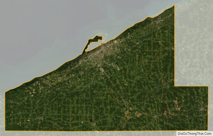
Erie County Satellite Map
Erie County Outline Map
See also
Map of Pennsylvania State and its subdivision:- Adams
- Allegheny
- Armstrong
- Beaver
- Bedford
- Berks
- Blair
- Bradford
- Bucks
- Butler
- Cambria
- Cameron
- Carbon
- Centre
- Chester
- Clarion
- Clearfield
- Clinton
- Columbia
- Crawford
- Cumberland
- Dauphin
- Delaware
- Elk
- Erie
- Fayette
- Forest
- Franklin
- Fulton
- Greene
- Huntingdon
- Indiana
- Jefferson
- Juniata
- Lackawanna
- Lancaster
- Lawrence
- Lebanon
- Lehigh
- Luzerne
- Lycoming
- Mc Kean
- Mercer
- Mifflin
- Monroe
- Montgomery
- Montour
- Northampton
- Northumberland
- Perry
- Philadelphia
- Pike
- Potter
- Schuylkill
- Snyder
- Somerset
- Sullivan
- Susquehanna
- Tioga
- Union
- Venango
- Warren
- Washington
- Wayne
- Westmoreland
- Wyoming
- York
- Alabama
- Alaska
- Arizona
- Arkansas
- California
- Colorado
- Connecticut
- Delaware
- District of Columbia
- Florida
- Georgia
- Hawaii
- Idaho
- Illinois
- Indiana
- Iowa
- Kansas
- Kentucky
- Louisiana
- Maine
- Maryland
- Massachusetts
- Michigan
- Minnesota
- Mississippi
- Missouri
- Montana
- Nebraska
- Nevada
- New Hampshire
- New Jersey
- New Mexico
- New York
- North Carolina
- North Dakota
- Ohio
- Oklahoma
- Oregon
- Pennsylvania
- Rhode Island
- South Carolina
- South Dakota
- Tennessee
- Texas
- Utah
- Vermont
- Virginia
- Washington
- West Virginia
- Wisconsin
- Wyoming