Escambia County is the westernmost and oldest county in the U.S. state of Florida. It is in the state’s northwestern corner. At the 2020 census, the population was 321,905. Its county seat and largest city is Pensacola. Escambia County is included within the Pensacola-Ferry Pass–Brent, Florida, Metropolitan Statistical Area. The county population has continued to increase as the suburbs of Pensacola have developed.
| Name: | Escambia County |
|---|---|
| FIPS code: | 12-033 |
| State: | Florida |
| Founded: | July 21, 1821 |
| Named for: | Escambia River |
| Seat: | Pensacola |
| Largest city: | Pensacola |
| Total Area: | 875 sq mi (2,270 km²) |
| Land Area: | 656 sq mi (1,700 km²) |
| Total Population: | 321,905 |
| Population Density: | 491/sq mi (190/km²) |
| Time zone: | UTC−6 (Central) |
| Summer Time Zone (DST): | UTC−5 (CDT) |
| Website: | myescambia.com |
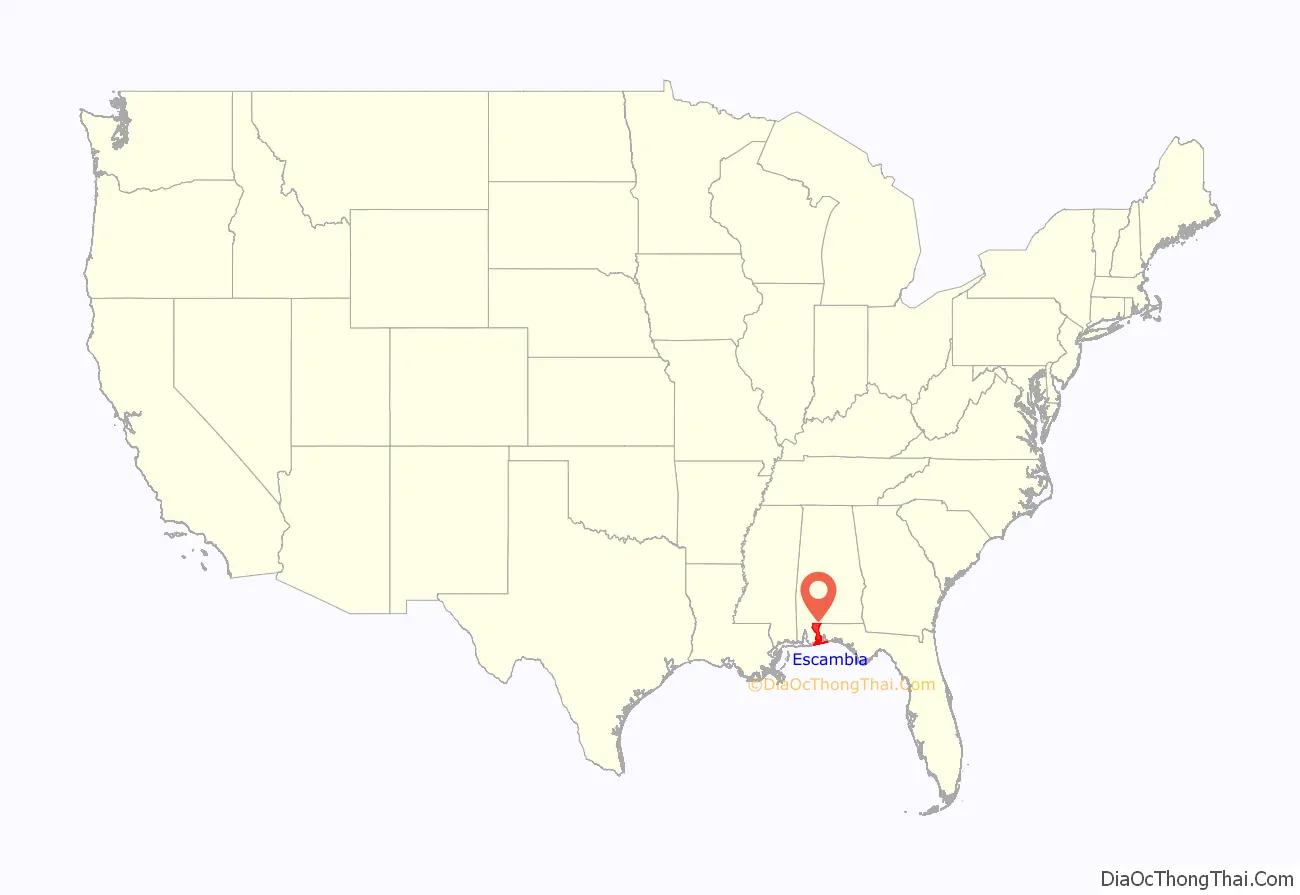
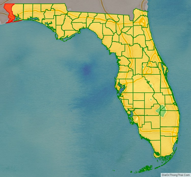
Escambia County location map. Where is Escambia County?
History
The area had been inhabited for thousands of years by indigenous peoples of varying cultures. Historic American Indian tribes at the time of European-American settlement were the Pensacola and Muscogee, known among the English as the Creek.
Escambia County had been part of Spanish colonial settlement before the United States acquired it in 1818. The county was organized by European-Americans on July 21, 1821; it was named for the Escambia River. The name “Escambia” may have been derived from the Creek name Shambia, meaning “clear water”, or the Choctaw word for “cane-brake” or “reed-brake”. The Choctaw were another major tribe in the Southeast.
Created on the same date, Escambia and St. Johns Counties were Florida’s two original counties, covering the entire territory within modern state boundaries. The Suwannee River was the border between them, following a winding path from the northern border of the state to the Gulf of Mexico. Essentially, the Escambia county government had jurisdiction over the “panhandle” and “big bend” areas, and St. Johns over the remainder of the entire state.
As population increased in the frontier territory, 21 counties were later organized from Escambia county directly or indirectly. They include Jackson (1821), Gadsden (created from Jackson)(1823), Leon (1824), Walton (1824), Washington (created from Jackson and Walton)(1825), Hamilton (1827), Jefferson (1827), Madison (created from Jefferson) (1827), Franklin (1832), Calhoun (1838), Santa Rosa (1842), Wakulla (created from Leon) (1843), Holmes (created from Jackson and Walton) (1848), Liberty (created from Gadsden) (1855), Lafayette and Taylor (created from Madison) (1856), Bay (created from Washington) (1913), Okaloosa (created from Santa Rosa and Walton) (1915), Dixie (created from Lafayette) (1921), and Gulf (created from Calhoun) (1925). The number of counties in Florida since 1925 has been stable at 67.
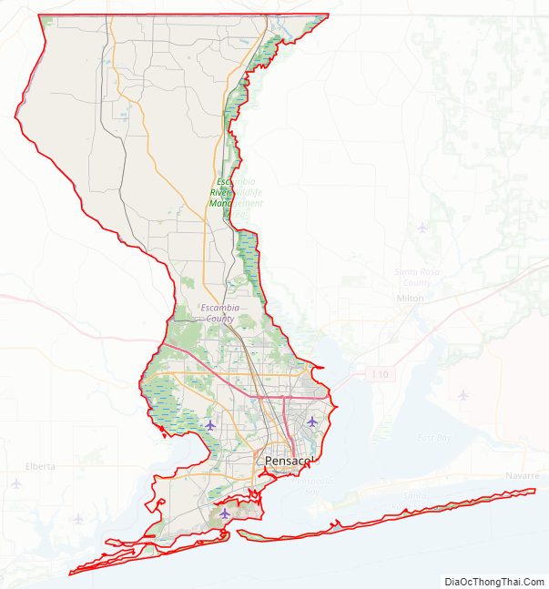
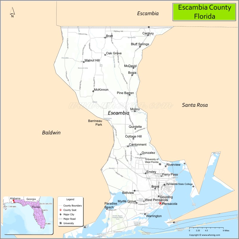
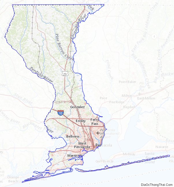
Escambia County Road Map
Geography
According to the U.S. Census Bureau, the county has an area of 875 square miles (2,270 km), of which 656 square miles (1,700 km) is land and 218 square miles (560 km) (25.0%) is water.
The county jurisdiction includes the island of Santa Rosa south of Pensacola; it is not part of Santa Rosa County proper. Escambia County is part of the Pensacola-Ferry Pass-Brent Metropolitan Statistical Area.
Adjacent counties
- Escambia County, Alabama — north
- Santa Rosa County, Florida — east
- Baldwin County, Alabama — west
Escambia County, Florida, and Escambia County, Alabama, are two of 22 counties or parishes in the United States with the same name to border each other across state lines.
National protected areas
- Gulf Islands National Seashore (part)
Escambia County Topographic Map
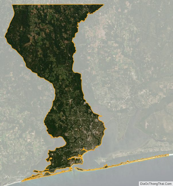
Escambia County Satellite Map
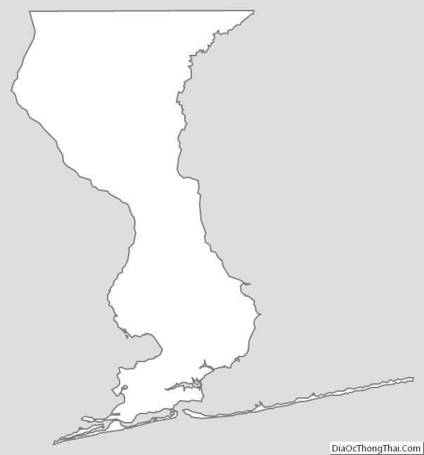
Escambia County Outline Map
See also
Map of Florida State and its subdivision:- Alachua
- Baker
- Bay
- Bradford
- Brevard
- Broward
- Calhoun
- Charlotte
- Citrus
- Clay
- Collier
- Columbia
- Desoto
- Dixie
- Duval
- Escambia
- Flagler
- Franklin
- Gadsden
- Gilchrist
- Glades
- Gulf
- Hamilton
- Hardee
- Hendry
- Hernando
- Highlands
- Hillsborough
- Holmes
- Indian River
- Jackson
- Jefferson
- Lafayette
- Lake
- Lee
- Leon
- Levy
- Liberty
- Madison
- Manatee
- Marion
- Martin
- Miami-Dade
- Monroe
- Nassau
- Okaloosa
- Okeechobee
- Orange
- Osceola
- Palm Beach
- Pasco
- Pinellas
- Polk
- Putnam
- Saint Johns
- Saint Lucie
- Santa Rosa
- Sarasota
- Seminole
- Sumter
- Suwannee
- Taylor
- Union
- Volusia
- Wakulla
- Walton
- Washington
- Alabama
- Alaska
- Arizona
- Arkansas
- California
- Colorado
- Connecticut
- Delaware
- District of Columbia
- Florida
- Georgia
- Hawaii
- Idaho
- Illinois
- Indiana
- Iowa
- Kansas
- Kentucky
- Louisiana
- Maine
- Maryland
- Massachusetts
- Michigan
- Minnesota
- Mississippi
- Missouri
- Montana
- Nebraska
- Nevada
- New Hampshire
- New Jersey
- New Mexico
- New York
- North Carolina
- North Dakota
- Ohio
- Oklahoma
- Oregon
- Pennsylvania
- Rhode Island
- South Carolina
- South Dakota
- Tennessee
- Texas
- Utah
- Vermont
- Virginia
- Washington
- West Virginia
- Wisconsin
- Wyoming