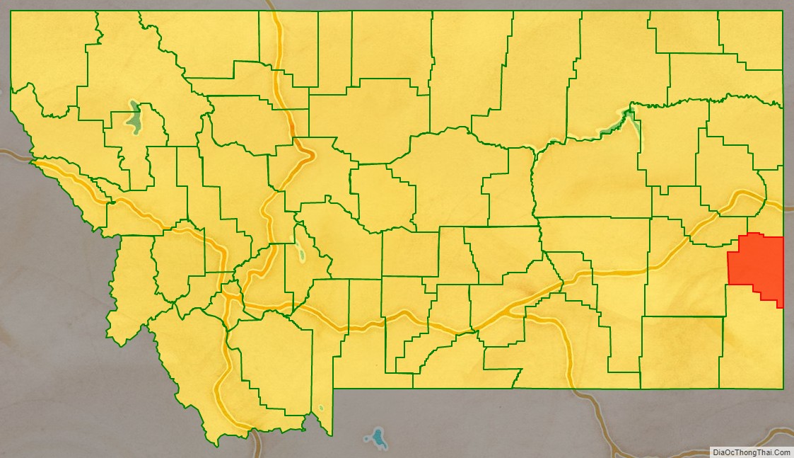
Fallon County is a county located in the U.S. state of Montana. As of the 2020 census, the population was 3,049. Its county seat is Baker. The county was created in 1913 from a portion of Custer County. It is named for Benjamin O’Fallon, a nephew of Captain William Clark and an Indian agent for the upper Missouri region from 1823 to 1827.
| Name: | Fallon County |
|---|---|
| FIPS code: | 30-025 |
| State: | Montana |
| Founded: | December 9, 1913 |
| Seat: | Baker |
| Largest city: | Baker |
| Total Area: | 1,623 sq mi (4,200 km²) |
| Land Area: | 1,621 sq mi (4,200 km²) |
| Total Population: | 3,049 |
| Population Density: | 1.9/sq mi (0.73/km²) |
| Time zone: | UTC−7 (Mountain) |
| Summer Time Zone (DST): | UTC−6 (MDT) |
| Website: | www.falloncounty.net |
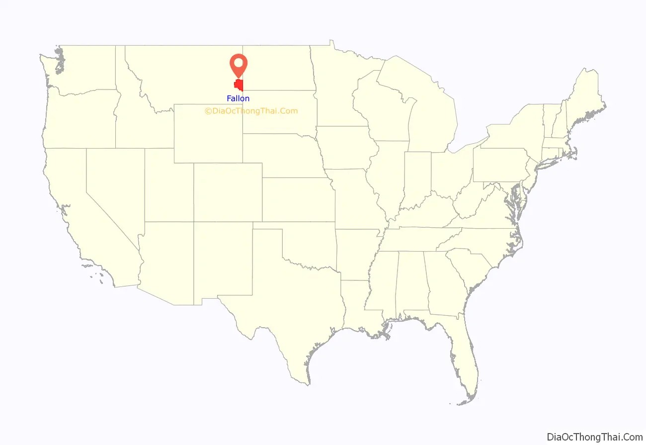
Fallon County location map. Where is Fallon County?
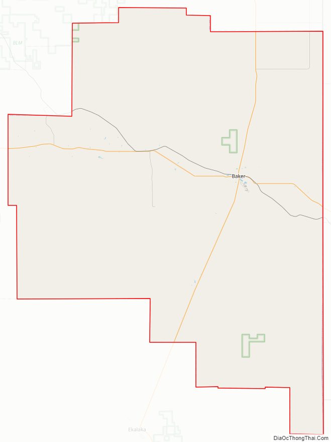
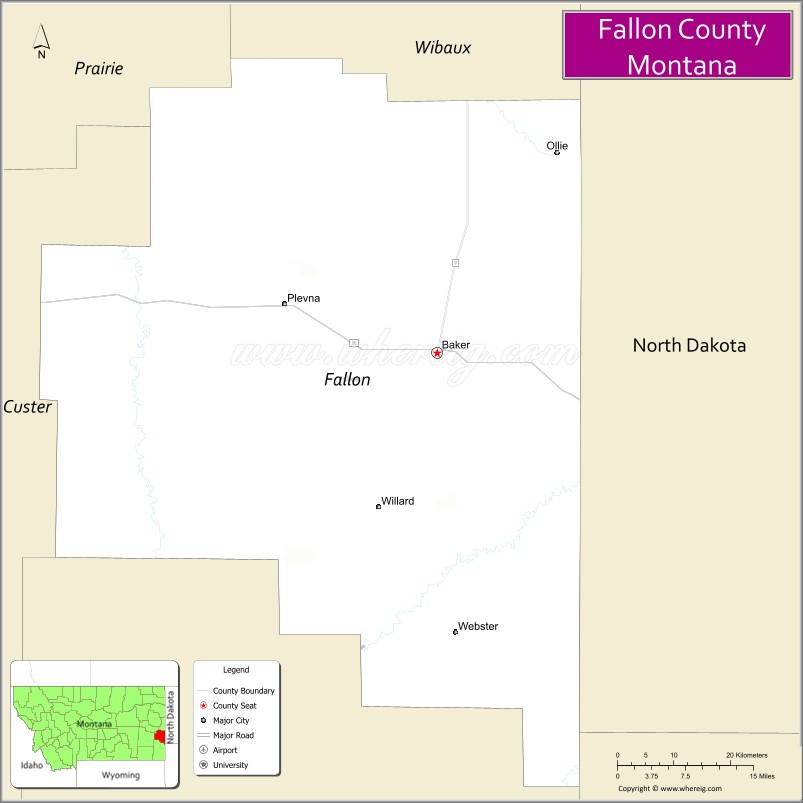
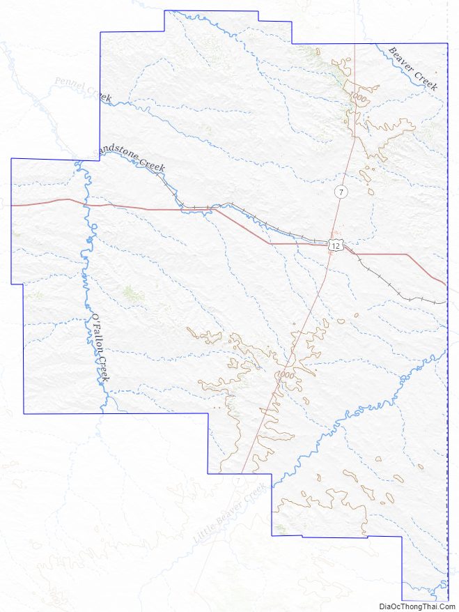
Fallon County Road Map
Geography
According to the United States Census Bureau, the county has a total area of 1,623 square miles (4,200 km), of which 1,621 square miles (4,200 km) is land and 2.3 square miles (6.0 km) (0.1%) is water.
Adjacent counties
- Wibaux County – north
- Prairie County – northwest
- Custer County – west
- Carter County – south
- Harding County, South Dakota – southeast
- Bowman County, North Dakota – east
- Slope County, North Dakota – east
- Golden Valley County, North Dakota – northeast
Fallon County Topographic Map
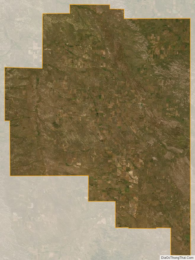
Fallon County Satellite Map
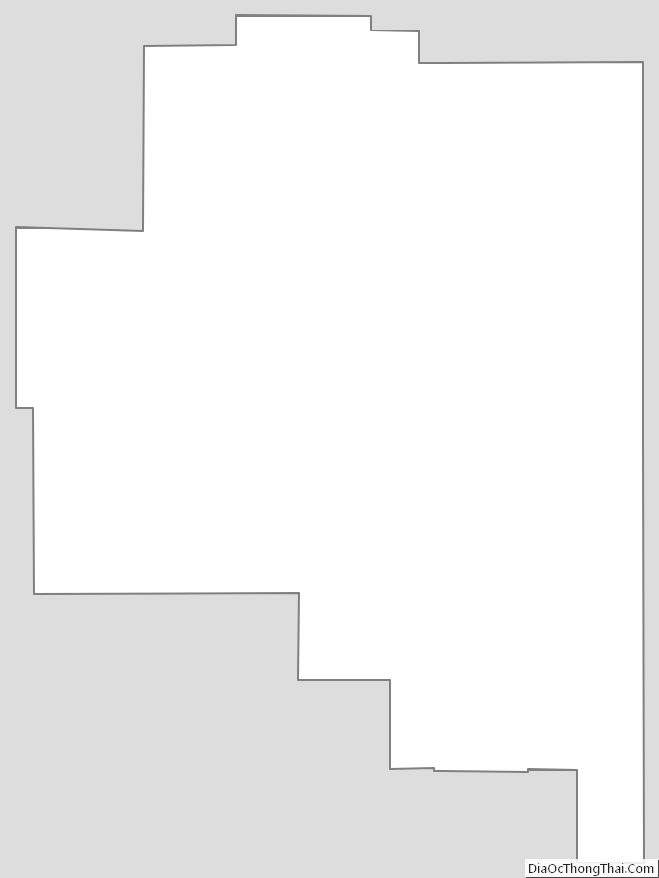
Fallon County Outline Map
See also
Map of Montana State and its subdivision:- Beaverhead
- Big Horn
- Blaine
- Broadwater
- Carbon
- Carter
- Cascade
- Chouteau
- Custer
- Daniels
- Dawson
- Deer Lodge
- Fallon
- Fergus
- Flathead
- Gallatin
- Garfield
- Glacier
- Golden Valley
- Granite
- Hill
- Jefferson
- Judith Basin
- Lake
- Lewis and Clark
- Liberty
- Lincoln
- Madison
- McCone
- Meagher
- Mineral
- Missoula
- Musselshell
- Park
- Petroleum
- Phillips
- Pondera
- Powder River
- Powell
- Prairie
- Ravalli
- Richland
- Roosevelt
- Rosebud
- Sanders
- Sheridan
- Silver Bow
- Stillwater
- Sweet Grass
- Teton
- Toole
- Treasure
- Valley
- Wheatland
- Wibaux
- Yellowstone
- Alabama
- Alaska
- Arizona
- Arkansas
- California
- Colorado
- Connecticut
- Delaware
- District of Columbia
- Florida
- Georgia
- Hawaii
- Idaho
- Illinois
- Indiana
- Iowa
- Kansas
- Kentucky
- Louisiana
- Maine
- Maryland
- Massachusetts
- Michigan
- Minnesota
- Mississippi
- Missouri
- Montana
- Nebraska
- Nevada
- New Hampshire
- New Jersey
- New Mexico
- New York
- North Carolina
- North Dakota
- Ohio
- Oklahoma
- Oregon
- Pennsylvania
- Rhode Island
- South Carolina
- South Dakota
- Tennessee
- Texas
- Utah
- Vermont
- Virginia
- Washington
- West Virginia
- Wisconsin
- Wyoming