Faribault County (/ˈfeɪrɪboʊ/) is a county in the U.S. state of Minnesota. As of the 2020 census, the population was 13,921. Its county seat is Blue Earth.
| Name: | Faribault County |
|---|---|
| FIPS code: | 27-043 |
| State: | Minnesota |
| Founded: | February 20, 1855 |
| Named for: | Jean Baptiste Faribault |
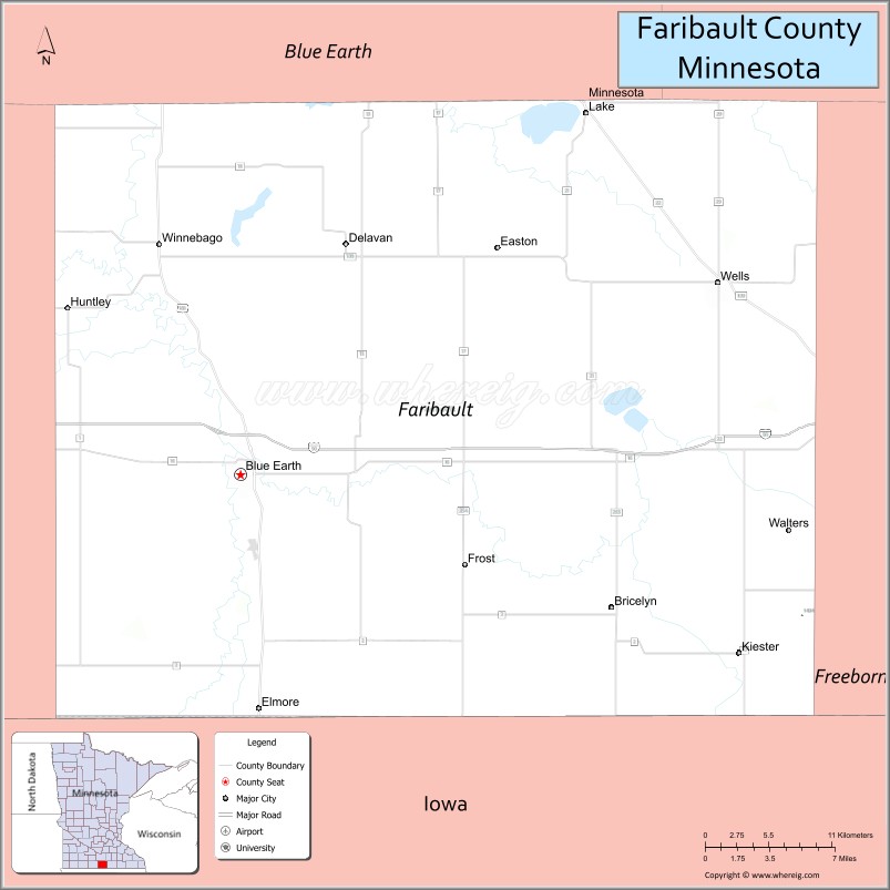
| Seat: | Blue Earth |
| Largest city: | Blue Earth |
| Total Area: | 722 sq mi (1,870 km²) |
| Land Area: | 712 sq mi (1,840 km²) |
| Total Population: | 13,921 |
| Population Density: | 19.6/sq mi (7.6/km²) |
| Time zone: | UTC−6 (Central) |
| Summer Time Zone (DST): | UTC−5 (CDT) |
| Website: | www.co.faribault.mn.us |
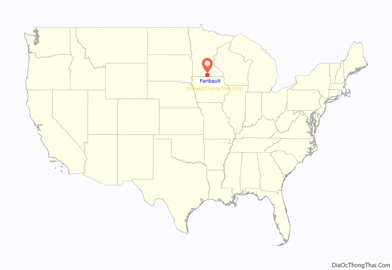
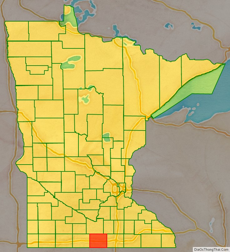
Faribault County location map. Where is Faribault County?
History
The county was founded in 1855. It was named for Jean-Baptiste Faribault, a settler and French fur trader among the Sioux Indians.
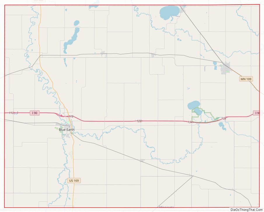
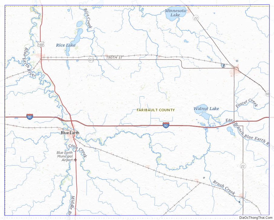
Faribault County Road Map
Geography
Faribault County lies on the south side of Minnesota. Its southern border abuts the north border of the state of Iowa. The Blue Earth River flows northerly through the west-central part of the county; it enters from Iowa as two branches, West Branch and Middle Branch, merging at 5 miles (8 km) into the county. It is joined by East Branch near the city of Blue Earth, thence flows northward into Blue Earth County. The Maple River flows west-northwestward through the upper central part of the county, entering from Freeborn County and exiting to Blue Earth County. The Cobb River also flows through the NE part of the county, from Freeborn to Blue Earth county.
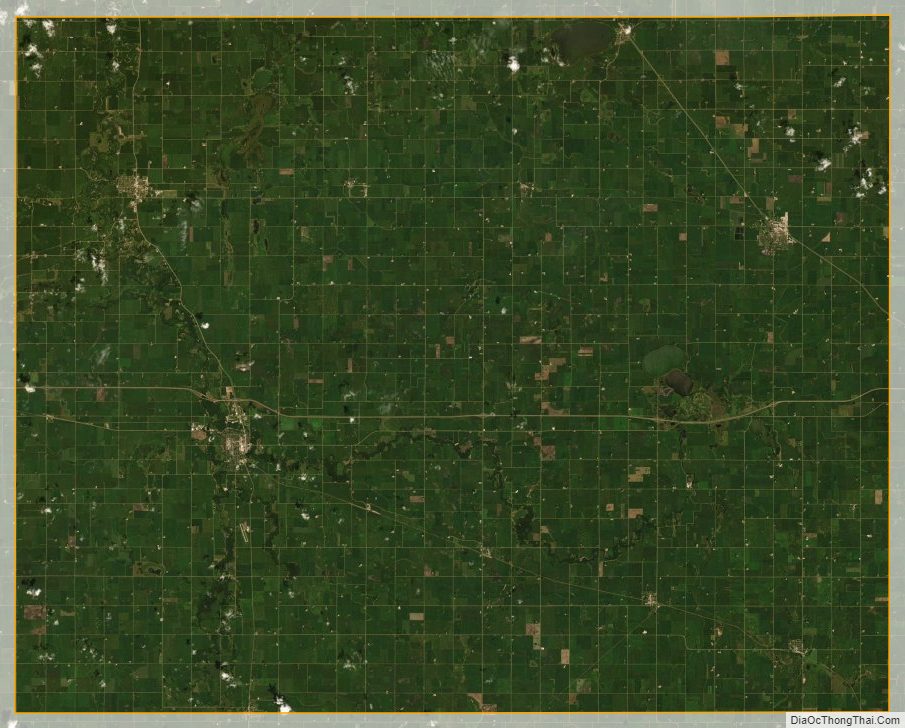
The county terrain consists of semi-arid rolling hills, devoted to agriculture. The SE portion is a glacial moraine near Kiester, and is known as the Kiester Moraine. The county has an area of 722 square miles (1,870 km), of which 712 square miles (1,840 km) is land and 9.4 square miles (24 km) (1.3%) is water.
Lakes
- Bass Lake (Delavan Twp)
- Hart Lake
- Minnesota Lake
- Rice Lake (Delavan Twp)
- Rice Lake (Foster Twp)
- South Walnut Lake
- Walnut Lake
Major highways
- Interstate 90
- U.S. Highway 169
- Minnesota State Highway 22
- Minnesota State Highway 109
Adjacent counties
- Blue Earth County – north
- Waseca County – northeast
- Freeborn County – east
- Winnebago County, Iowa – southeast
- Kossuth County, Iowa – southwest
- Martin County – west
Protected areas
- Walnut Lake State Wildlife Management Area
Faribault County Topographic Map
Faribault County Satellite Map
Faribault County Outline Map

See also
Map of Minnesota State and its subdivision:- Aitkin
- Anoka
- Becker
- Beltrami
- Benton
- Big Stone
- Blue Earth
- Brown
- Carlton
- Carver
- Cass
- Chippewa
- Chisago
- Clay
- Clearwater
- Cook
- Cottonwood
- Crow Wing
- Dakota
- Dodge
- Douglas
- Faribault
- Fillmore
- Freeborn
- Goodhue
- Grant
- Hennepin
- Houston
- Hubbard
- Isanti
- Itasca
- Jackson
- Kanabec
- Kandiyohi
- Kittson
- Koochiching
- Lac qui Parle
- Lake
- Lake of the Woods
- Lake Superior
- Le Sueur
- Lincoln
- Lyon
- Mahnomen
- Marshall
- Martin
- McLeod
- Meeker
- Mille Lacs
- Morrison
- Mower
- Murray
- Nicollet
- Nobles
- Norman
- Olmsted
- Otter Tail
- Pennington
- Pine
- Pipestone
- Polk
- Pope
- Ramsey
- Red Lake
- Redwood
- Renville
- Rice
- Rock
- Roseau
- Saint Louis
- Scott
- Sherburne
- Sibley
- Stearns
- Steele
- Stevens
- Swift
- Todd
- Traverse
- Wabasha
- Wadena
- Waseca
- Washington
- Watonwan
- Wilkin
- Winona
- Wright
- Yellow Medicine
- Alabama
- Alaska
- Arizona
- Arkansas
- California
- Colorado
- Connecticut
- Delaware
- District of Columbia
- Florida
- Georgia
- Hawaii
- Idaho
- Illinois
- Indiana
- Iowa
- Kansas
- Kentucky
- Louisiana
- Maine
- Maryland
- Massachusetts
- Michigan
- Minnesota
- Mississippi
- Missouri
- Montana
- Nebraska
- Nevada
- New Hampshire
- New Jersey
- New Mexico
- New York
- North Carolina
- North Dakota
- Ohio
- Oklahoma
- Oregon
- Pennsylvania
- Rhode Island
- South Carolina
- South Dakota
- Tennessee
- Texas
- Utah
- Vermont
- Virginia
- Washington
- West Virginia
- Wisconsin
- Wyoming