Fayette County is a county located in the U.S. state of Ohio. As of the 2020 census, the population was 28,951. Its county seat and largest city is Washington Court House. The county was named for the Marquis de Lafayette, a Frenchman who was an officer in the American Army in the Revolution, when established on March 1, 1810.
Fayette County comprises the Washington Court House, OH Micropolitan Statistical Area, which is also included in the Columbus-Marion-Zanesville, OH Combined Statistical Area.
| Name: | Fayette County |
|---|---|
| FIPS code: | 39-047 |
| State: | Ohio |
| Founded: | March 1, 1810 |
| Named for: | Marquis de Lafayette |
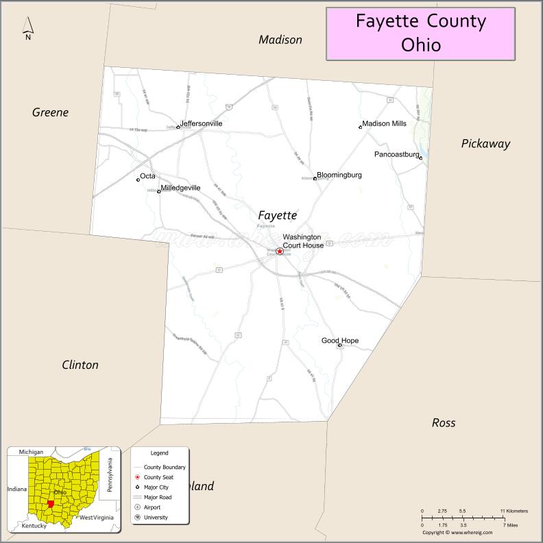
| Seat: | Washington Court House |
| Largest city: | Washington Court House |
| Total Area: | 407 sq mi (1,050 km²) |
| Land Area: | 406 sq mi (1,050 km²) |
| Total Population: | 28,951 |
| Population Density: | 71/sq mi (27/km²) |
| Time zone: | UTC−5 (Eastern) |
| Summer Time Zone (DST): | UTC−4 (EDT) |
| Website: | www.fayette-co-oh.com |
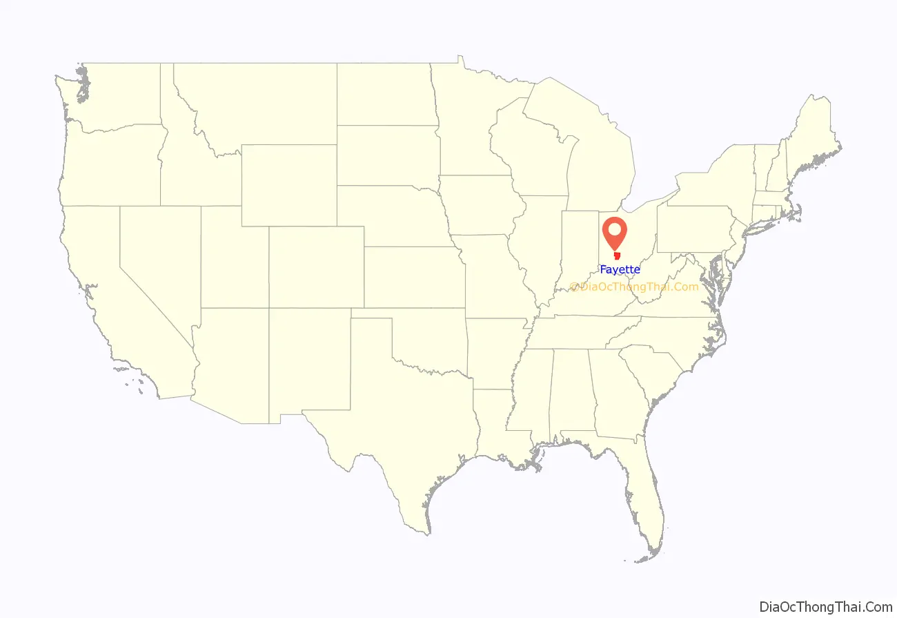
Fayette County location map. Where is Fayette County?
History
Fayette County was formed on March 1, 1810, from portions of Highland and Ross Counties. It was named after Marie-Joseph Motier, Marquis de La Fayette, a French general and politician who took the side of the Colonials during the American Revolutionary War and who played an important role in the French Revolution.
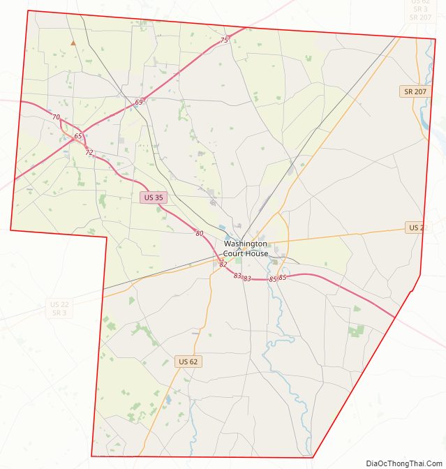
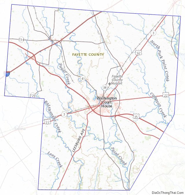
Fayette County Road Map
Geography
According to the U.S. Census Bureau, the county has a total area of 407 square miles (1,050 km), of which 406 square miles (1,050 km) is land and 0.7 square miles (1.8 km) (0.2%) is water.
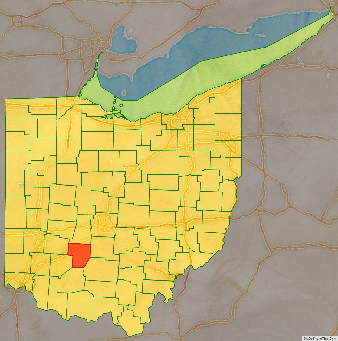
Adjacent counties
- Madison County (north)
- Pickaway County (northeast)
- Ross County (southeast)
- Highland County (south)
- Clinton County (southwest)
- Greene County (northwest)
Fayette County Topographic Map
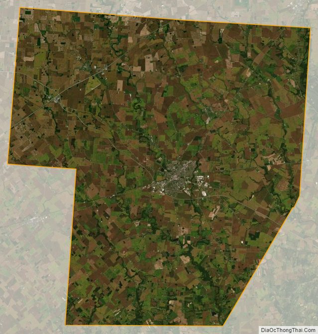
Fayette County Satellite Map
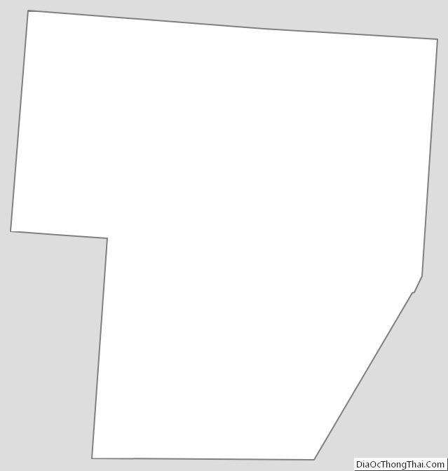
Fayette County Outline Map
See also
Map of Ohio State and its subdivision:- Adams
- Allen
- Ashland
- Ashtabula
- Athens
- Auglaize
- Belmont
- Brown
- Butler
- Carroll
- Champaign
- Clark
- Clermont
- Clinton
- Columbiana
- Coshocton
- Crawford
- Cuyahoga
- Darke
- Defiance
- Delaware
- Erie
- Fairfield
- Fayette
- Franklin
- Fulton
- Gallia
- Geauga
- Greene
- Guernsey
- Hamilton
- Hancock
- Hardin
- Harrison
- Henry
- Highland
- Hocking
- Holmes
- Huron
- Jackson
- Jefferson
- Knox
- Lake
- Lake Erie
- Lawrence
- Licking
- Logan
- Lorain
- Lucas
- Madison
- Mahoning
- Marion
- Medina
- Meigs
- Mercer
- Miami
- Monroe
- Montgomery
- Morgan
- Morrow
- Muskingum
- Noble
- Ottawa
- Paulding
- Perry
- Pickaway
- Pike
- Portage
- Preble
- Putnam
- Richland
- Ross
- Sandusky
- Scioto
- Seneca
- Shelby
- Stark
- Summit
- Trumbull
- Tuscarawas
- Union
- Van Wert
- Vinton
- Warren
- Washington
- Wayne
- Williams
- Wood
- Wyandot
- Alabama
- Alaska
- Arizona
- Arkansas
- California
- Colorado
- Connecticut
- Delaware
- District of Columbia
- Florida
- Georgia
- Hawaii
- Idaho
- Illinois
- Indiana
- Iowa
- Kansas
- Kentucky
- Louisiana
- Maine
- Maryland
- Massachusetts
- Michigan
- Minnesota
- Mississippi
- Missouri
- Montana
- Nebraska
- Nevada
- New Hampshire
- New Jersey
- New Mexico
- New York
- North Carolina
- North Dakota
- Ohio
- Oklahoma
- Oregon
- Pennsylvania
- Rhode Island
- South Carolina
- South Dakota
- Tennessee
- Texas
- Utah
- Vermont
- Virginia
- Washington
- West Virginia
- Wisconsin
- Wyoming