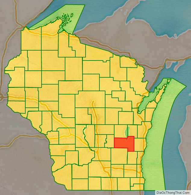
Fond du Lac County is a county in the U.S. state of Wisconsin. As of the 2020 census, the population was 104,154. Its county seat is Fond du Lac. The county was created in the Wisconsin Territory in 1836 and later organized in 1844. Fond du Lac is French for “bottom of the lake”, given so because of the county’s location at the southern shore of Lake Winnebago. Fond du Lac County comprises the Fond du Lac, Wisconsin Metropolitan Statistical Area. The Holyland region is in northeastern Fond du Lac County.
| Name: | Fond du Lac County |
|---|---|
| FIPS code: | 55-039 |
| State: | Wisconsin |
| Named for: | French term meaning ‘farthest end of the lake’. |
| Largest city: | Fond du Lac |
| Total Area: | 1,980 km² (766 sq mi) |
| Land Area: | 1,900 km² (720 sq mi) |
| Total Population: | 104,154 |
| Population Density: | 55.9/km² (144.7/sq mi) |
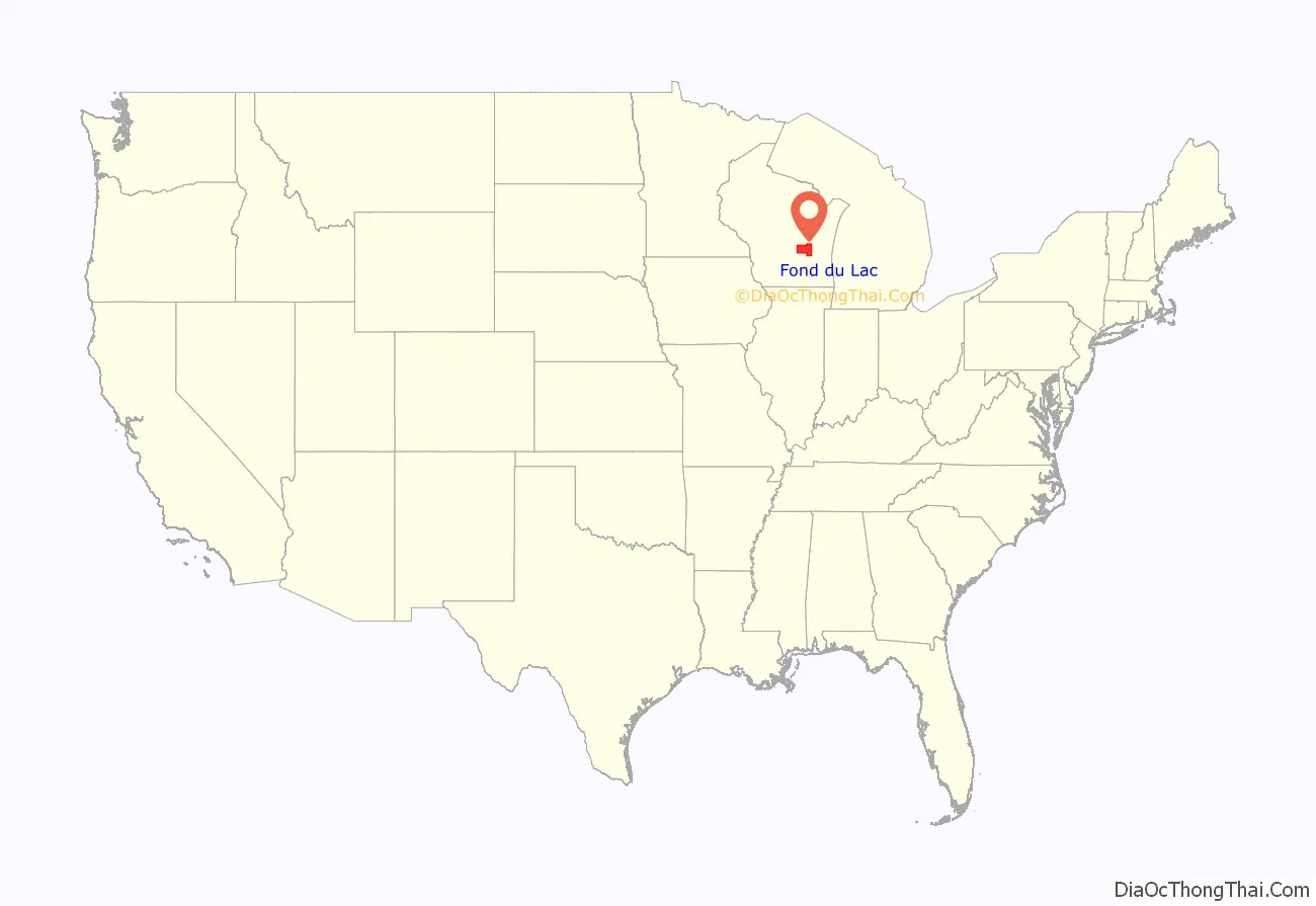
Fond du Lac County location map. Where is Fond du Lac County?
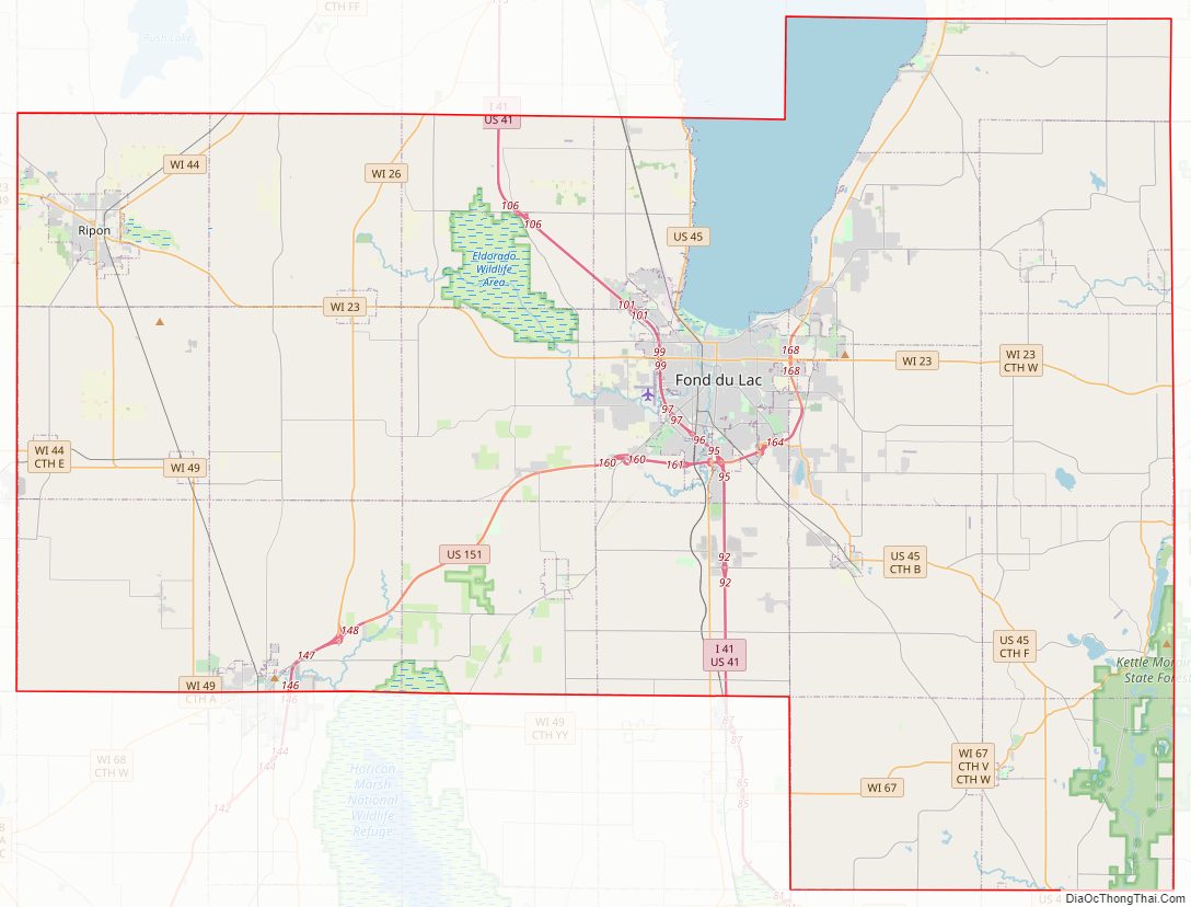
Fond du Lac County Road Map
Geography
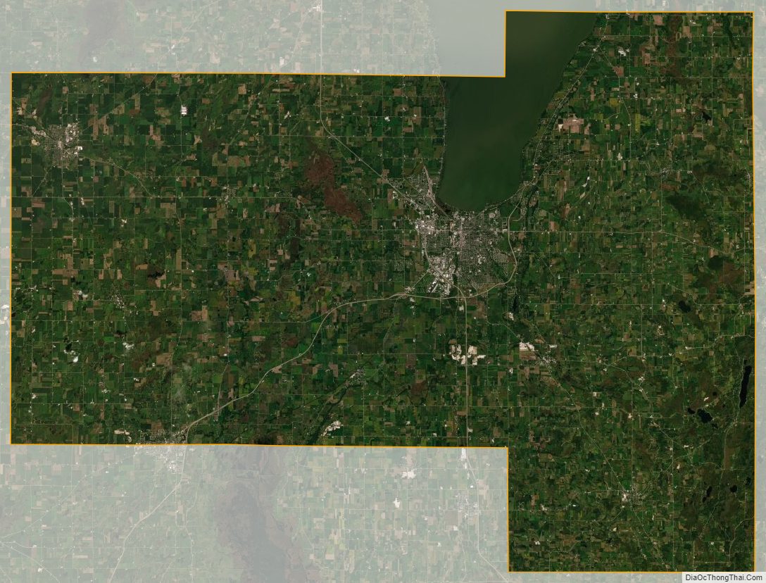
According to the U.S. Census Bureau, the county has a total area of 766 square miles (1,980 km), of which 720 square miles (1,900 km) is land and 46 square miles (120 km) (6.0%) is water.
Adjacent counties
- Winnebago County – north
- Calumet County – northeast
- Sheboygan County – east
- Washington County – southeast
- Dodge County – southwest
- Green Lake County – west
National protected area
- Horicon National Wildlife Refuge (part)
Fond du Lac County Topographic Map
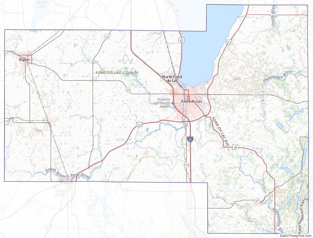
Fond du Lac County Satellite Map
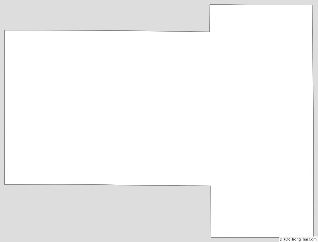
Fond du Lac County Outline Map
See also
Map of Wisconsin State and its subdivision:- Adams
- Ashland
- Barron
- Bayfield
- Brown
- Buffalo
- Burnett
- Calumet
- Chippewa
- Clark
- Columbia
- Crawford
- Dane
- Dodge
- Door
- Douglas
- Dunn
- Eau Claire
- Florence
- Fond du Lac
- Forest
- Grant
- Green
- Green Lake
- Iowa
- Iron
- Jackson
- Jefferson
- Juneau
- Kenosha
- Kewaunee
- La Crosse
- Lafayette
- Lake Michigan
- Lake Superior
- Langlade
- Lincoln
- Manitowoc
- Marathon
- Marinette
- Marquette
- Menominee
- Milwaukee
- Monroe
- Oconto
- Oneida
- Outagamie
- Ozaukee
- Pepin
- Pierce
- Polk
- Portage
- Price
- Racine
- Richland
- Rock
- Rusk
- Saint Croix
- Sauk
- Sawyer
- Shawano
- Sheboygan
- Taylor
- Trempealeau
- Vernon
- Vilas
- Walworth
- Washburn
- Washington
- Waukesha
- Waupaca
- Waushara
- Winnebago
- Wood
- Alabama
- Alaska
- Arizona
- Arkansas
- California
- Colorado
- Connecticut
- Delaware
- District of Columbia
- Florida
- Georgia
- Hawaii
- Idaho
- Illinois
- Indiana
- Iowa
- Kansas
- Kentucky
- Louisiana
- Maine
- Maryland
- Massachusetts
- Michigan
- Minnesota
- Mississippi
- Missouri
- Montana
- Nebraska
- Nevada
- New Hampshire
- New Jersey
- New Mexico
- New York
- North Carolina
- North Dakota
- Ohio
- Oklahoma
- Oregon
- Pennsylvania
- Rhode Island
- South Carolina
- South Dakota
- Tennessee
- Texas
- Utah
- Vermont
- Virginia
- Washington
- West Virginia
- Wisconsin
- Wyoming