Freeborn County is a county in the state of Minnesota. As of the 2020 United States Census, the population was 30,895. Its county seat is Albert Lea. Freeborn County comprises the Albert Lea Micropolitan Statistical Area.
| Name: | Freeborn County |
|---|---|
| FIPS code: | 27-047 |
| State: | Minnesota |
| Founded: | February 20, 1855 |
| Named for: | William Freeborn |
| Seat: | Albert Lea |
| Largest city: | Albert Lea |
| Total Area: | 722 sq mi (1,870 km²) |
| Land Area: | 707 sq mi (1,830 km²) |
| Total Population: | 30,895 |
| Population Density: | 43.7/sq mi (16.9/km²) |
| Time zone: | UTC−6 (Central) |
| Summer Time Zone (DST): | UTC−5 (CDT) |
| Website: | www.co.freeborn.mn.us |
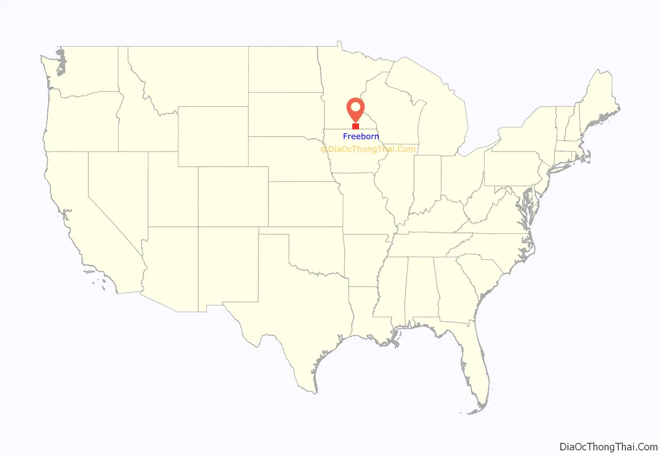
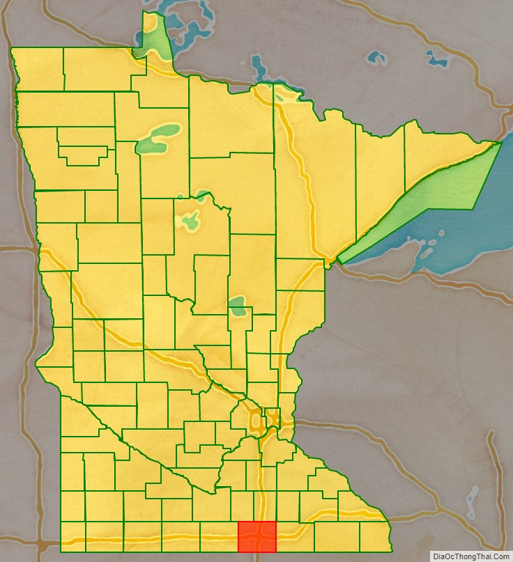
Freeborn County location map. Where is Freeborn County?
History
Freeborn County was created on February 20, 1855, the territory being separated from Blue Earth and Rice Counties. Twelve other Minnesota counties were created the same day by the Minnesota Territorial Legislature. Freeborn County was named for William Freeborn, an early Minnesota pioneer, merchant, and territorial legislator.
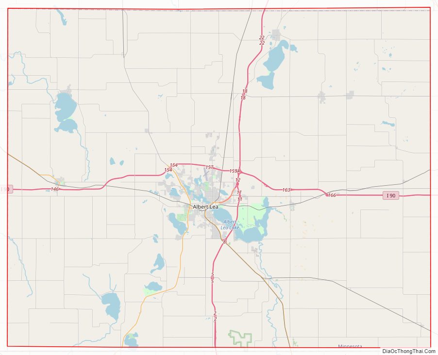
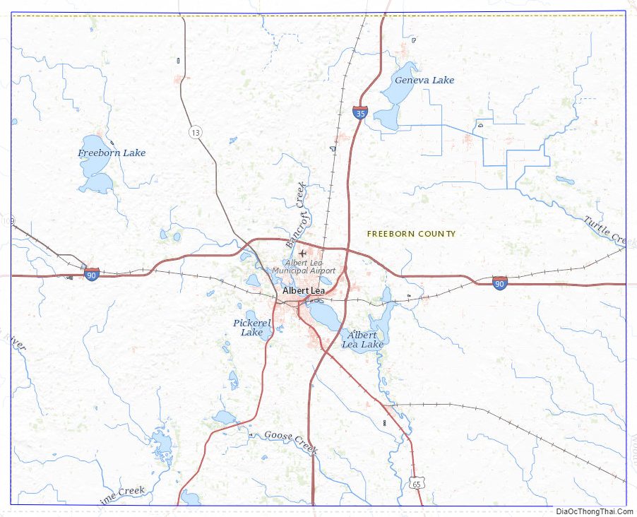
Freeborn County Road Map
Geography
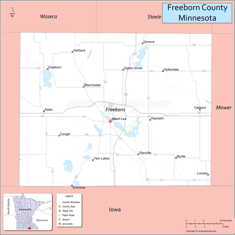
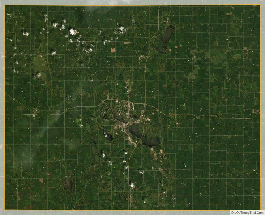
Freeborn County lies on Minnesota’s border with Iowa. The Shell Rock River flows southward from Albert Lea Lake in central Freeborn County, crossing into Iowa. Turtle Creek flows eastward through the upper eastern part of the county, crossing into Mower County. The terrain is hilly and etched with drainages and gullies. The Le Sueur River, a tributary of the Minnesota River, begins in the northern part of the county and flows northward into Waseca County. The Cobb River and the Maple River, two other small rivers, begin in the extreme northwest corner of the county, the Cobb from Freeborn Lake and the Maple from Penny Lake. Both run generally northwest, emptying into the LeSueur River, just upstream from where the LeSueur empties into the Minnesota River, on the western edge of Mankato. Most of the available land is devoted to agriculture. The terrain generally slopes to the south and east, although the highest point is near the northeast corner, at 1,296′ (395m) ASL. The county has an area of 722 square miles (1,870 km), of which 707 square miles (1,830 km) is land and 15 square miles (39 km) (2.1%) is water.
Lakes
- Albert Lea Lake
- Bear Lake
- Church Lake
- Everhart Lake
- Fountain Lake
- Freeborn Lake
- Geneva Lake
- Goose Lake
- Halls Lake
- Hickory Lake
- Lower Twin Lake
- Penny Lake
- Pickerel Lake
- School Section Lake
- State Line Lake
- Sugar Lake
- Trenton Lake (part)
- Upper Twin Lake
- White Lake
Protected areas
- Bear Lake State Wildlife Management Area
- Carex State Wildlife Management Area
- Halls Lake State Wildlife Area
- Moscow State Game Refuge
- Myre-Big Island State Park
- White Woods County Park
Major highways
- Interstate 35
- Interstate 90
- U.S. Highway 65
- U.S. Highway 69
- Minnesota State Highway 13
- Minnesota State Highway 109
- Minnesota State Highway 251
Adjacent counties
- Steele County – northeast
- Mower County – east
- Worth County, Iowa – south
- Winnebago County, Iowa – southwest
- Faribault County – west
- Waseca County – northwest
Freeborn County Topographic Map
Freeborn County Satellite Map
Freeborn County Outline Map

See also
Map of Minnesota State and its subdivision:- Aitkin
- Anoka
- Becker
- Beltrami
- Benton
- Big Stone
- Blue Earth
- Brown
- Carlton
- Carver
- Cass
- Chippewa
- Chisago
- Clay
- Clearwater
- Cook
- Cottonwood
- Crow Wing
- Dakota
- Dodge
- Douglas
- Faribault
- Fillmore
- Freeborn
- Goodhue
- Grant
- Hennepin
- Houston
- Hubbard
- Isanti
- Itasca
- Jackson
- Kanabec
- Kandiyohi
- Kittson
- Koochiching
- Lac qui Parle
- Lake
- Lake of the Woods
- Lake Superior
- Le Sueur
- Lincoln
- Lyon
- Mahnomen
- Marshall
- Martin
- McLeod
- Meeker
- Mille Lacs
- Morrison
- Mower
- Murray
- Nicollet
- Nobles
- Norman
- Olmsted
- Otter Tail
- Pennington
- Pine
- Pipestone
- Polk
- Pope
- Ramsey
- Red Lake
- Redwood
- Renville
- Rice
- Rock
- Roseau
- Saint Louis
- Scott
- Sherburne
- Sibley
- Stearns
- Steele
- Stevens
- Swift
- Todd
- Traverse
- Wabasha
- Wadena
- Waseca
- Washington
- Watonwan
- Wilkin
- Winona
- Wright
- Yellow Medicine
- Alabama
- Alaska
- Arizona
- Arkansas
- California
- Colorado
- Connecticut
- Delaware
- District of Columbia
- Florida
- Georgia
- Hawaii
- Idaho
- Illinois
- Indiana
- Iowa
- Kansas
- Kentucky
- Louisiana
- Maine
- Maryland
- Massachusetts
- Michigan
- Minnesota
- Mississippi
- Missouri
- Montana
- Nebraska
- Nevada
- New Hampshire
- New Jersey
- New Mexico
- New York
- North Carolina
- North Dakota
- Ohio
- Oklahoma
- Oregon
- Pennsylvania
- Rhode Island
- South Carolina
- South Dakota
- Tennessee
- Texas
- Utah
- Vermont
- Virginia
- Washington
- West Virginia
- Wisconsin
- Wyoming