| Name: | Garfield County |
|---|---|
| FIPS code: | 40-047 |
| State: | Oklahoma |
| Founded: | 1893 |
| Named for: | James A. Garfield |
| Seat: | Enid |
| Largest city: | Enid |
| Total Area: | 1,060 sq mi (2,700 km²) |
| Land Area: | 1,058 sq mi (2,740 km²) |
| Total Population: | 60,580 |
| Population Density: | 57/sq mi (22/km²) |
| Time zone: | UTC−6 (Central) |
| Summer Time Zone (DST): | UTC−5 (CDT) |
| Website: | www.garfieldok.com |
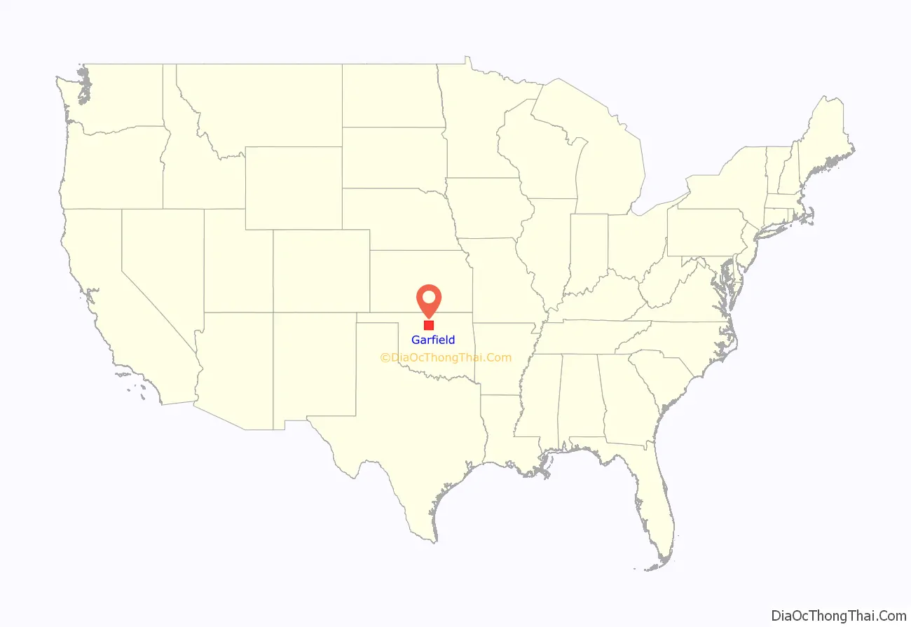
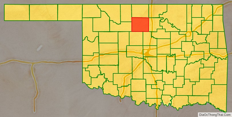
Garfield County location map. Where is Garfield County?
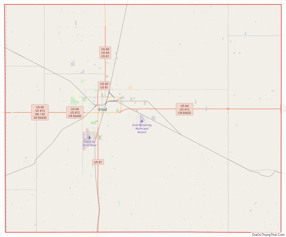
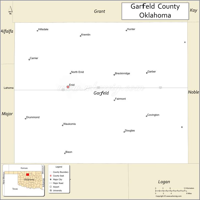
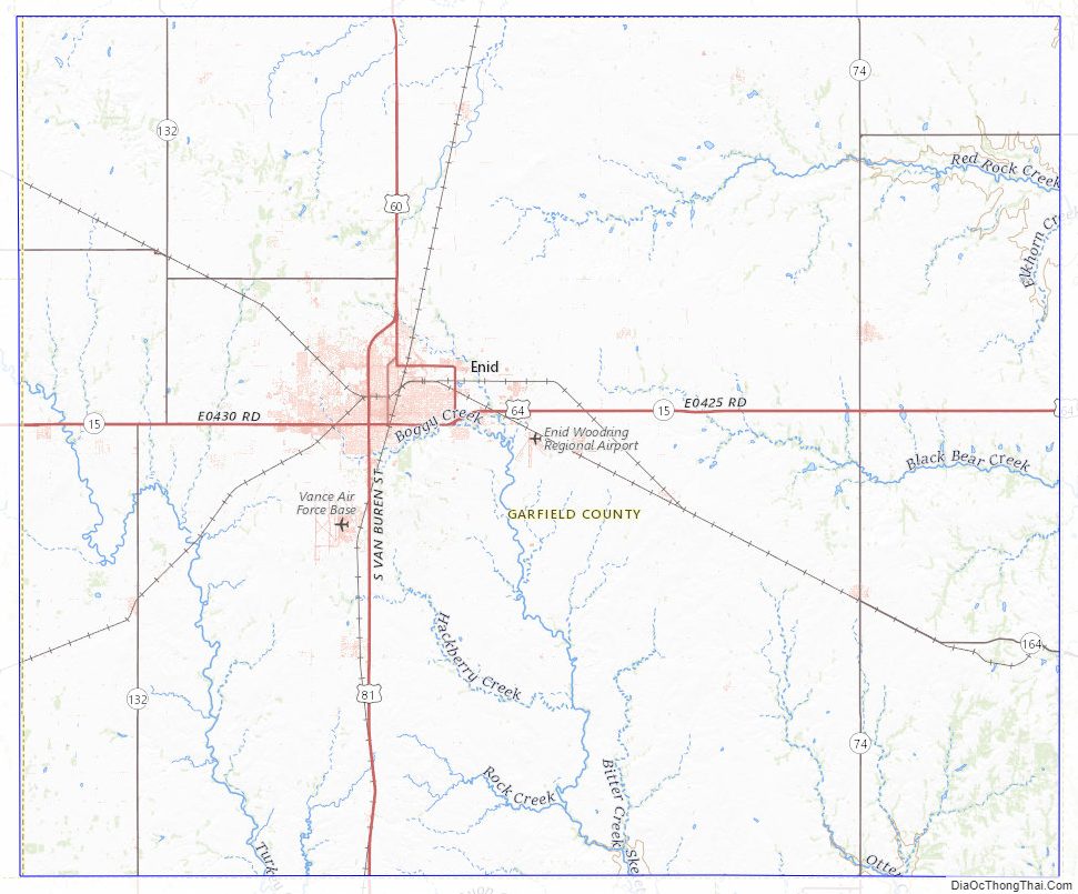
Garfield County Road Map
Geography
According to the U.S. Census Bureau, the county has a total area of 1,060 square miles (2,700 km), of which 1,058 square miles (2,740 km) is land and 1.6 square miles (4.1 km) (0.2%) is water. Several creeks run through the county, including Black Bear, Boggy, Red Rock, Rock, Skeleton, and Turkey.
Adjacent counties
- Grant County (north)
- Noble County (east)
- Logan County (southeast)
- Kingfisher County (south)
- Major County (west)
- Alfalfa County (northwest)
Major highways
- U.S. Highway 60
- U.S. Highway 64
- U.S. Highway 81
- U.S. Highway 412
- State Highway 15
- State Highway 45
- State Highway 74
Garfield County Topographic Map
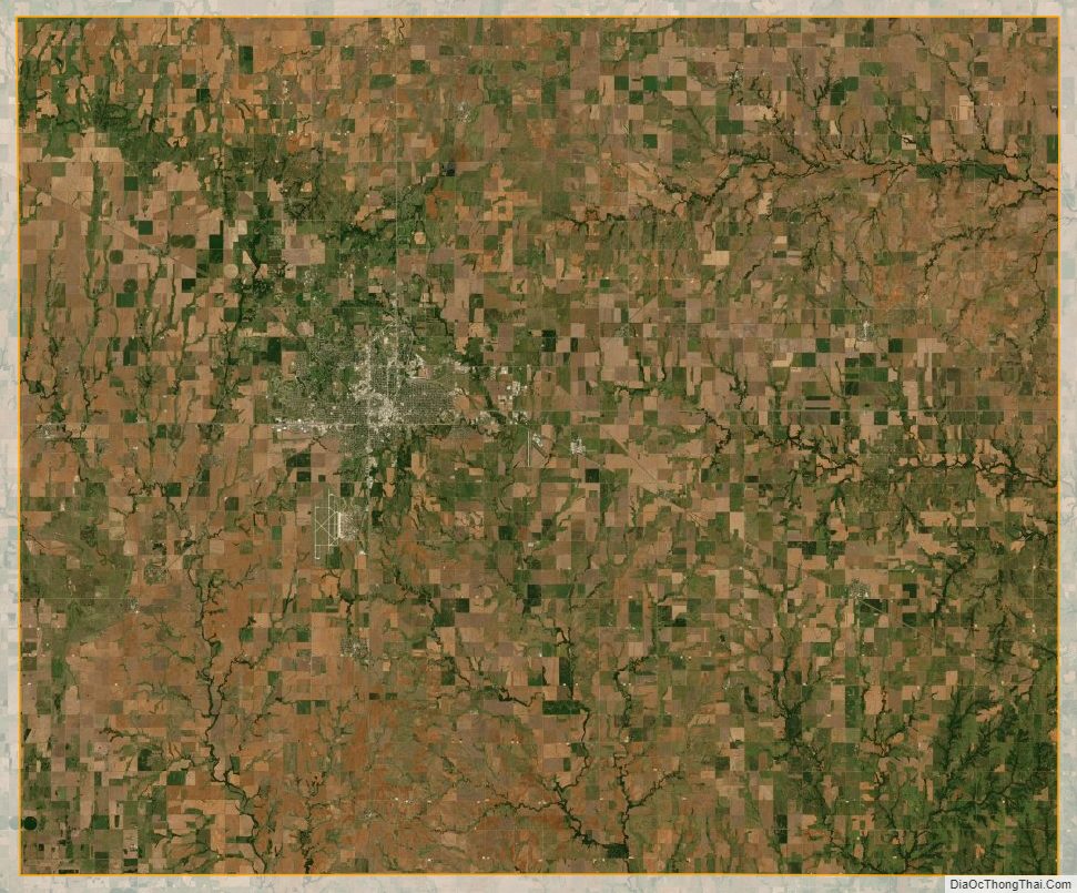
Garfield County Satellite Map
Garfield County Outline Map

See also
Map of Oklahoma State and its subdivision:- Adair
- Alfalfa
- Atoka
- Beaver
- Beckham
- Blaine
- Bryan
- Caddo
- Canadian
- Carter
- Cherokee
- Choctaw
- Cimarron
- Cleveland
- Coal
- Comanche
- Cotton
- Craig
- Creek
- Custer
- Delaware
- Dewey
- Ellis
- Garfield
- Garvin
- Grady
- Grant
- Greer
- Harmon
- Harper
- Haskell
- Hughes
- Jackson
- Jefferson
- Johnston
- Kay
- Kingfisher
- Kiowa
- Latimer
- Le Flore
- Lincoln
- Logan
- Love
- Major
- Marshall
- Mayes
- McClain
- McCurtain
- McIntosh
- Murray
- Muskogee
- Noble
- Nowata
- Okfuskee
- Oklahoma
- Okmulgee
- Osage
- Ottawa
- Pawnee
- Payne
- Pittsburg
- Pontotoc
- Pottawatomie
- Pushmataha
- Roger Mills
- Rogers
- Seminole
- Sequoyah
- Stephens
- Texas
- Tillman
- Tulsa
- Wagoner
- Washington
- Washita
- Woods
- Woodward
- Alabama
- Alaska
- Arizona
- Arkansas
- California
- Colorado
- Connecticut
- Delaware
- District of Columbia
- Florida
- Georgia
- Hawaii
- Idaho
- Illinois
- Indiana
- Iowa
- Kansas
- Kentucky
- Louisiana
- Maine
- Maryland
- Massachusetts
- Michigan
- Minnesota
- Mississippi
- Missouri
- Montana
- Nebraska
- Nevada
- New Hampshire
- New Jersey
- New Mexico
- New York
- North Carolina
- North Dakota
- Ohio
- Oklahoma
- Oregon
- Pennsylvania
- Rhode Island
- South Carolina
- South Dakota
- Tennessee
- Texas
- Utah
- Vermont
- Virginia
- Washington
- West Virginia
- Wisconsin
- Wyoming