Gibson County is a county located in the U.S. state of Tennessee. As of the 2020 census, the population was 50,429. Its county seat is Trenton. The county was formed in 1823 and named for John H. Gibson, a soldier of the Natchez Expedition and the Creek War.
| Name: | Gibson County |
|---|---|
| FIPS code: | 47-053 |
| State: | Tennessee |
| Founded: | 1823 |
| Named for: | John H. Gibson |
| Seat: | Trenton |
| Largest city: | Humboldt |
| Total Area: | 604 sq mi (1,560 km²) |
| Land Area: | 603 sq mi (1,560 km²) |
| Total Population: | 49,045 |
| Population Density: | 82/sq mi (32/km²) |
| Time zone: | UTC−6 (Central) |
| Summer Time Zone (DST): | UTC−5 (CDT) |
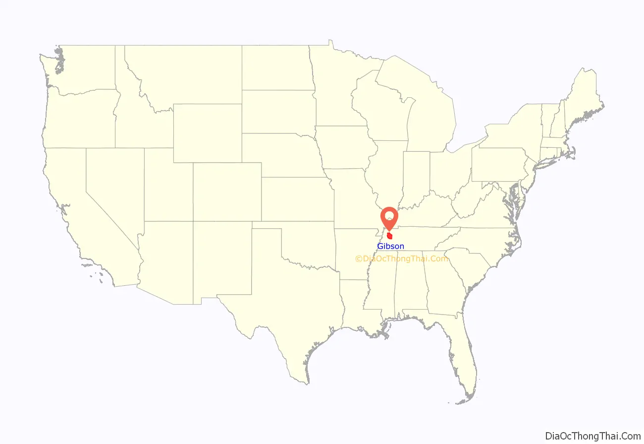
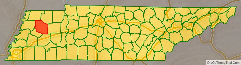
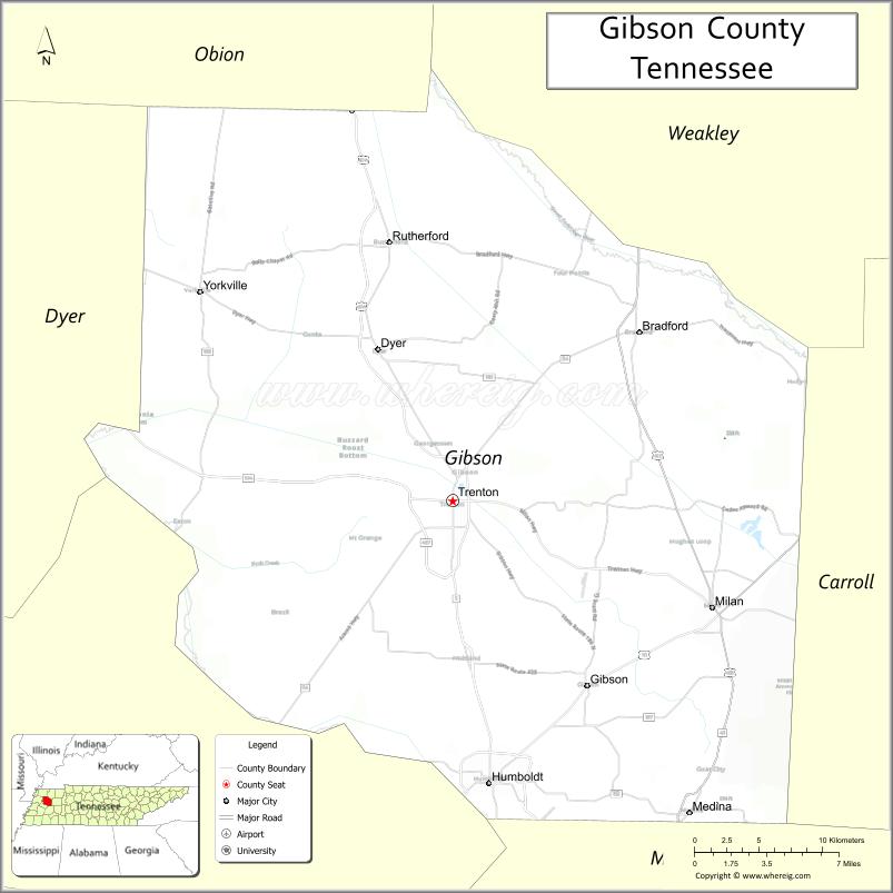
Gibson County location map. Where is Gibson County?
History
Gibson County is located in what was known as “Indian Land”: territory that was legally occupied by Chickasaw Native American people. The Chickasaw Cession, proclaimed on January 7, 1819, eliminated those rights and opened the region to settlement and exploitation by white settlers and speculators.
Soon after the Chickasaw Cession, the first log cabin in what was to become Gibson County had been built by Thomas Fite about eight miles (13 km) east of present-day Trenton. From 1819 the area was part of Carroll County but, as settlement progressed, citizens petitioned for the formation of a new county. The county was established by private act on October 21, 1823, and was named in honor of Colonel John H. Gibson who had died earlier that year. Gibson was a native of Bedford County, Tennessee who was commissioned Lieutenant in the Tennessee Militia; he took part in the War of 1812, the campaign to Natchez of 1813, and fought in the Creek Wars of 1813.
In its early years, Gibson County grew rapidly, chiefly because the land had less dense forest growth than some adjacent areas and was therefore more easily prepared to farm cotton and corn. By the end of 1824, the county had 273,143 acres (1,105.37 km) of taxable land. The county’s first cotton gin was built in 1826.
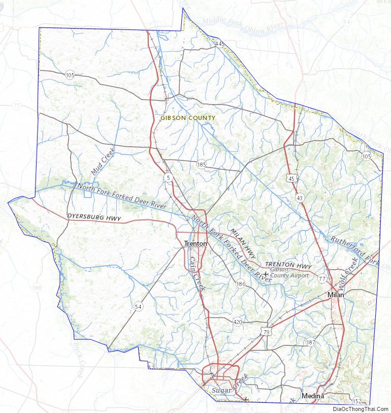
Gibson County Road Map
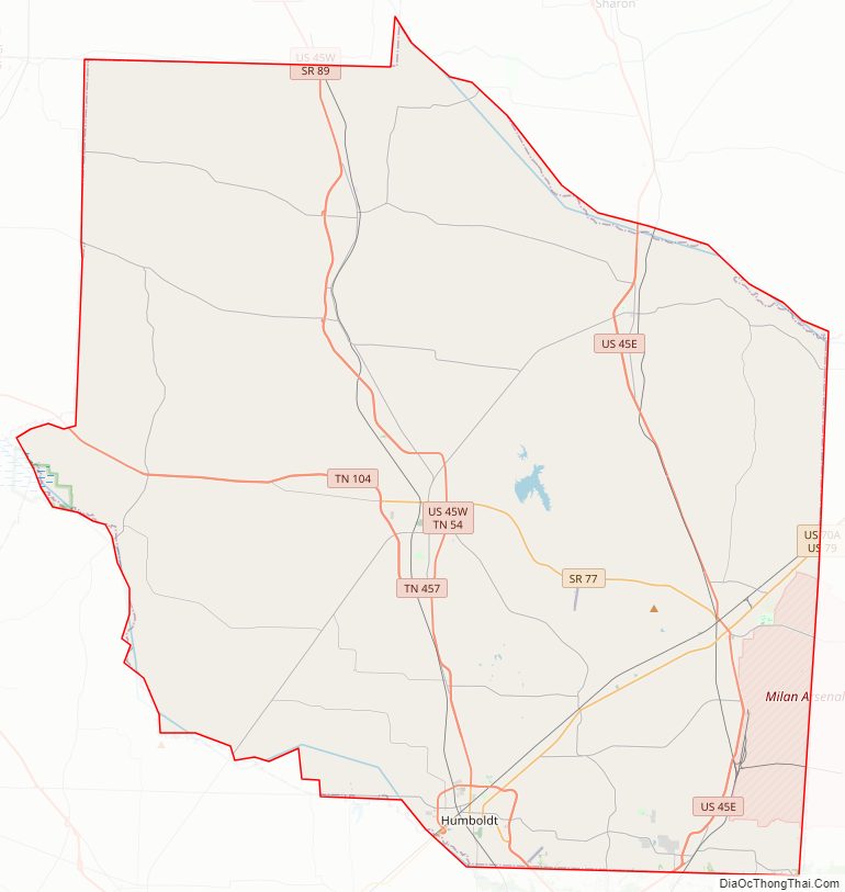
Geography
According to the U.S. Census Bureau, the county has a total area of 604 square miles (1,560 km), of which 603 square miles (1,560 km) is land and 0.9 square miles (2.3 km) (0.2%) is water.
Adjacent counties
- Weakley County (northeast)
- Carroll County (east)
- Madison County (south)
- Crockett County (southwest)
- Dyer County (west)
- Obion County (northwest)
State protected areas
- Horns Bluff Refuge (part)
- Maness Swamp Refuge
- Obion River Wildlife Management Area (part)
- Tigrett Wildlife Management Area (part)
Gibson County Topographic Map
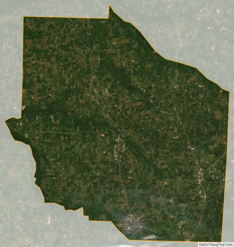
Gibson County Satellite Map
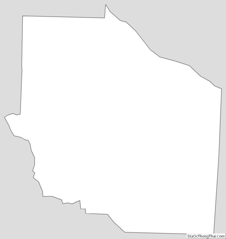
Gibson County Outline Map
See also
Map of Tennessee State and its subdivision:- Anderson
- Bedford
- Benton
- Bledsoe
- Blount
- Bradley
- Campbell
- Cannon
- Carroll
- Carter
- Cheatham
- Chester
- Claiborne
- Clay
- Cocke
- Coffee
- Crockett
- Cumberland
- Davidson
- Decatur
- DeKalb
- Dickson
- Dyer
- Fayette
- Fentress
- Franklin
- Gibson
- Giles
- Grainger
- Greene
- Grundy
- Hamblen
- Hamilton
- Hancock
- Hardeman
- Hardin
- Hawkins
- Haywood
- Henderson
- Henry
- Hickman
- Houston
- Humphreys
- Jackson
- Jefferson
- Johnson
- Knox
- Lake
- Lauderdale
- Lawrence
- Lewis
- Lincoln
- Loudon
- Macon
- Madison
- Marion
- Marshall
- Maury
- McMinn
- McNairy
- Meigs
- Monroe
- Montgomery
- Moore
- Morgan
- Obion
- Overton
- Perry
- Pickett
- Polk
- Putnam
- Rhea
- Roane
- Robertson
- Rutherford
- Scott
- Sequatchie
- Sevier
- Shelby
- Smith
- Stewart
- Sullivan
- Sumner
- Tipton
- Trousdale
- Unicoi
- Union
- Van Buren
- Warren
- Washington
- Wayne
- Weakley
- White
- Williamson
- Wilson
- Alabama
- Alaska
- Arizona
- Arkansas
- California
- Colorado
- Connecticut
- Delaware
- District of Columbia
- Florida
- Georgia
- Hawaii
- Idaho
- Illinois
- Indiana
- Iowa
- Kansas
- Kentucky
- Louisiana
- Maine
- Maryland
- Massachusetts
- Michigan
- Minnesota
- Mississippi
- Missouri
- Montana
- Nebraska
- Nevada
- New Hampshire
- New Jersey
- New Mexico
- New York
- North Carolina
- North Dakota
- Ohio
- Oklahoma
- Oregon
- Pennsylvania
- Rhode Island
- South Carolina
- South Dakota
- Tennessee
- Texas
- Utah
- Vermont
- Virginia
- Washington
- West Virginia
- Wisconsin
- Wyoming