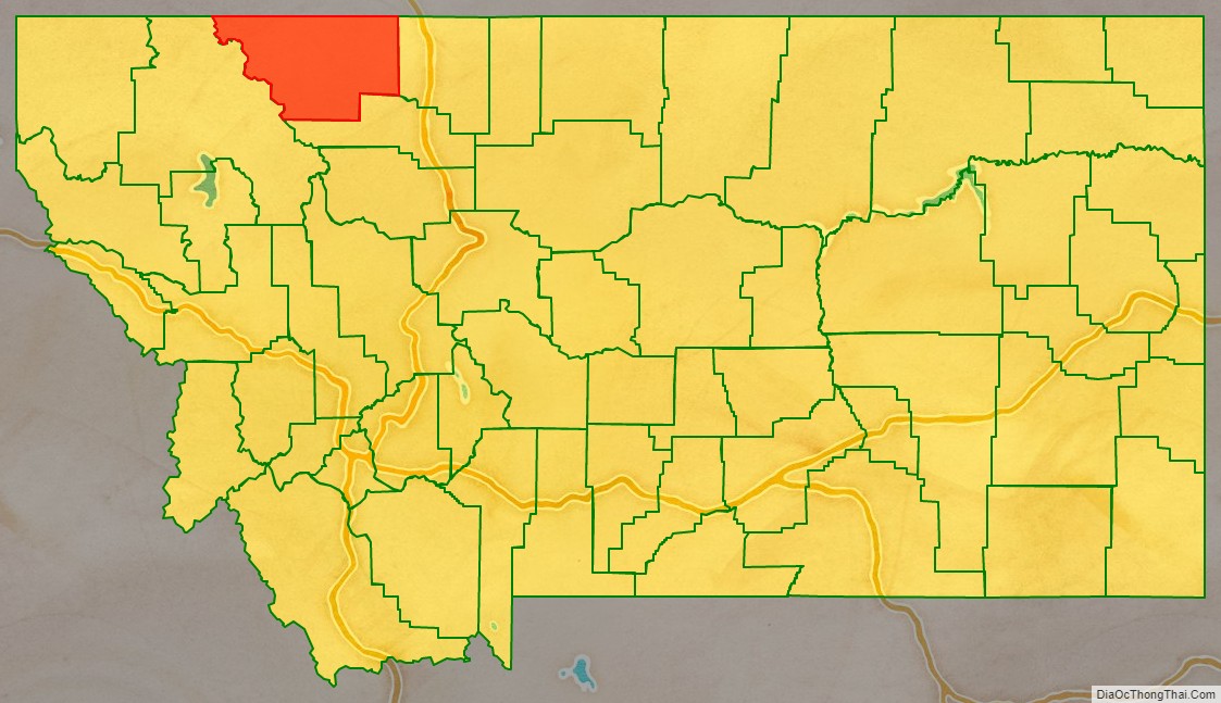
Glacier County is located in the U.S. state of Montana. As of the 2020 census, the population was 13,778. The county is located in northwestern Montana between the Great Plains and the Rocky Mountains, known to the Blackfeet as the “Backbone of the World”. The county is geographically and culturally diverse and includes the Blackfeet Indian Reservation, Glacier National Park, and Lewis and Clark National Forest. The county is bordered by 75 miles of international boundary with two ports of entry (Piegan and Del Bonita) open year-round and one seasonal (Chief Mountain) international border crossing into Alberta, Canada.
| Name: | Glacier County |
|---|---|
| FIPS code: | 30-035 |
| State: | Montana |
| Founded: | 1919 |
| Named for: | The glaciers in Glacier National Park |
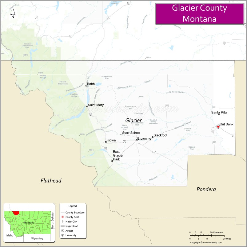
| Seat: | Cut Bank |
| Largest city: | Cut Bank |
| Total Area: | 3,037 sq mi (7,870 km²) |
| Land Area: | 2,996 sq mi (7,760 km²) |
| Total Population: | 13,778 |
| Population Density: | 4.5/sq mi (1.8/km²) |
| Time zone: | UTC−7 (Mountain) |
| Summer Time Zone (DST): | UTC−6 (MDT) |
| Website: | www.glaciercountymt.org |
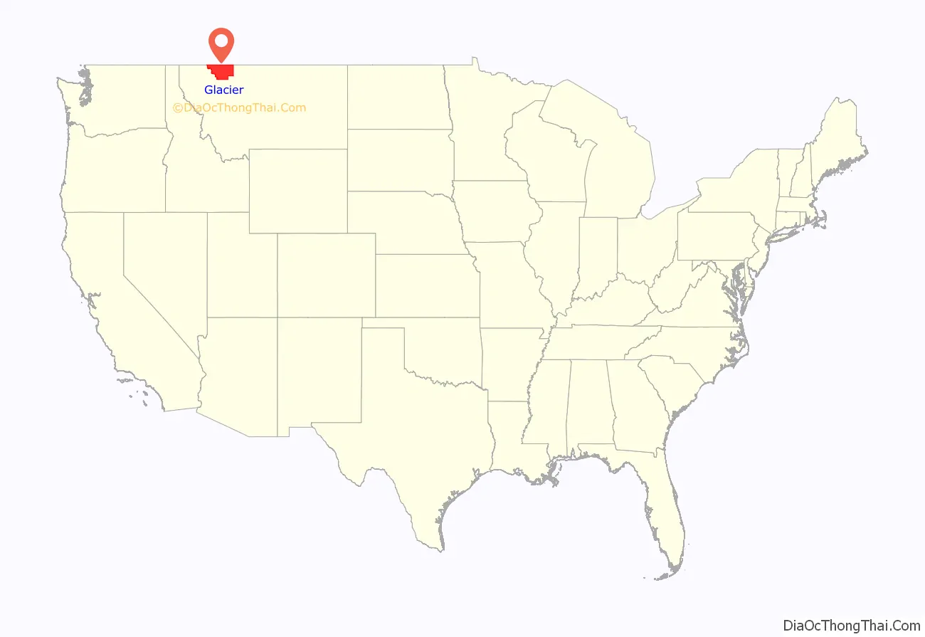
Glacier County location map. Where is Glacier County?
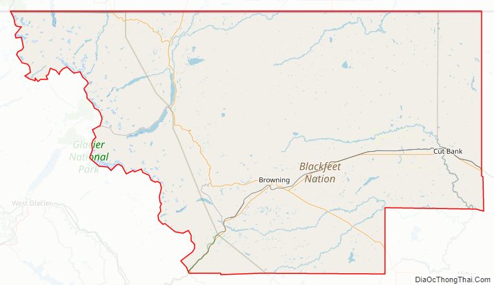
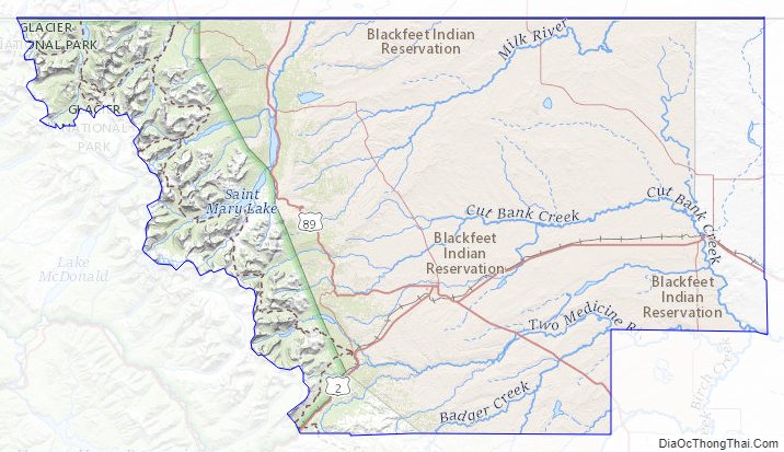
Glacier County Road Map
Geography
According to the United States Census Bureau, the county has a total area of 3,037 square miles (7,870 km), of which 2,996 square miles (7,760 km) is land and 41 square miles (110 km) (1.3%) is water. About 71% of the county’s land area lies within the Blackfeet Indian Reservation. Another 21% lies within Glacier National Park in western Glacier County.
Adjacent counties
- Flathead County – west
- Pondera County – south
- Toole County – east
- Cardston County, Alberta – north
- Improvement District No. 4, Alberta (Waterton Lakes National Park) – northwest
- County of Warner No. 5, Alberta – northeast
National protected areas
- Glacier National Park (part)
- Lewis and Clark National Forest (part)
Glacier County Topographic Map
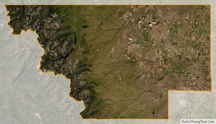
Glacier County Satellite Map
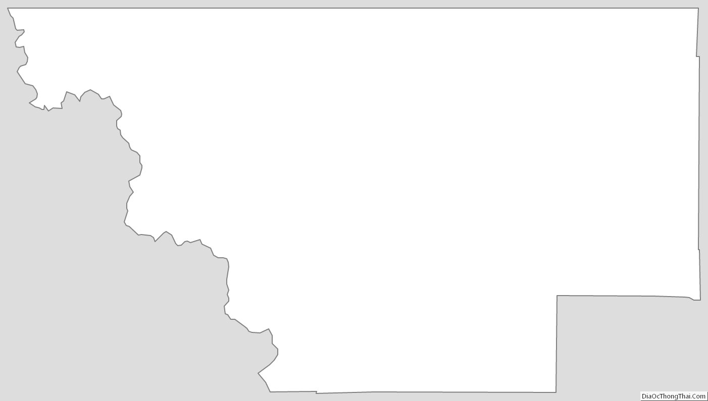
Glacier County Outline Map
See also
Map of Montana State and its subdivision:- Beaverhead
- Big Horn
- Blaine
- Broadwater
- Carbon
- Carter
- Cascade
- Chouteau
- Custer
- Daniels
- Dawson
- Deer Lodge
- Fallon
- Fergus
- Flathead
- Gallatin
- Garfield
- Glacier
- Golden Valley
- Granite
- Hill
- Jefferson
- Judith Basin
- Lake
- Lewis and Clark
- Liberty
- Lincoln
- Madison
- McCone
- Meagher
- Mineral
- Missoula
- Musselshell
- Park
- Petroleum
- Phillips
- Pondera
- Powder River
- Powell
- Prairie
- Ravalli
- Richland
- Roosevelt
- Rosebud
- Sanders
- Sheridan
- Silver Bow
- Stillwater
- Sweet Grass
- Teton
- Toole
- Treasure
- Valley
- Wheatland
- Wibaux
- Yellowstone
- Alabama
- Alaska
- Arizona
- Arkansas
- California
- Colorado
- Connecticut
- Delaware
- District of Columbia
- Florida
- Georgia
- Hawaii
- Idaho
- Illinois
- Indiana
- Iowa
- Kansas
- Kentucky
- Louisiana
- Maine
- Maryland
- Massachusetts
- Michigan
- Minnesota
- Mississippi
- Missouri
- Montana
- Nebraska
- Nevada
- New Hampshire
- New Jersey
- New Mexico
- New York
- North Carolina
- North Dakota
- Ohio
- Oklahoma
- Oregon
- Pennsylvania
- Rhode Island
- South Carolina
- South Dakota
- Tennessee
- Texas
- Utah
- Vermont
- Virginia
- Washington
- West Virginia
- Wisconsin
- Wyoming