Goliad County (/ˈɡoʊliæd/ GOH-lee-ad) is a county located in the U.S. state of Texas. As of the 2020 census, the population is 7,012. Its county seat is Goliad. The county is named for Father Miguel Hidalgo; “Goliad” is an anagram , minus the silent H. The county was created in 1836 and organized the next year.
Goliad County is a part of the Victoria, TX Metropolitan Statistical Area.
| Name: | Goliad County |
|---|---|
| FIPS code: | 48-175 |
| State: | Texas |
| Founded: | 1837 |
| Named for: | Miguel Hidalgo |
| Seat: | Goliad |
| Largest city: | Goliad |
| Total Area: | 859 sq mi (2,220 km²) |
| Land Area: | 852 sq mi (2,210 km²) |
| Total Population: | 7,012 |
| Population Density: | 8.2/sq mi (3.2/km²) |
| Time zone: | UTC−6 (Central) |
| Summer Time Zone (DST): | UTC−5 (CDT) |
| Website: | www.co.goliad.tx.us |
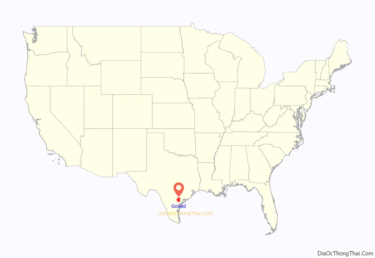
Goliad County location map. Where is Goliad County?
History
The first declaration of independence for the Republic of Texas was signed in Goliad on December 20, 1835, although the formal declaration was made by the Convention of 1836 at Washington-on-the-Brazos. Goliad County was the site of two battles in the Texas Revolution. The Battle of Goliad was a minor skirmish early in the war. However the subsequent battle of Coleto was an important battle that culminated on March 27, 1836. Col. James Fannin and his Texan soldiers were executed by the Mexican army, under orders from Gen. Antonio López de Santa Anna, in what became known as the Goliad Massacre. This event led to the Texas Revolutionary battle cry “Remember the Alamo! Remember Goliad!” Although many remember the Alamo today, fewer remember Goliad. The site of the massacre is located near Presidio la Bahia, just south of the town of Goliad.
In 1874, Juan Moya, a prominent Tejano landowner and Mexican army captain who fought in the Texas Revolution, was lynched, along with his two sons, by a mob who suspected them of murdering a neighboring family in Goliad County.
Goliad County is also the birthplace of General Ignacio Zaragoza, who led the Mexican army against the invading forces of Napoleon III in the Battle of Puebla on May 5, 1862 (“Cinco de Mayo”).
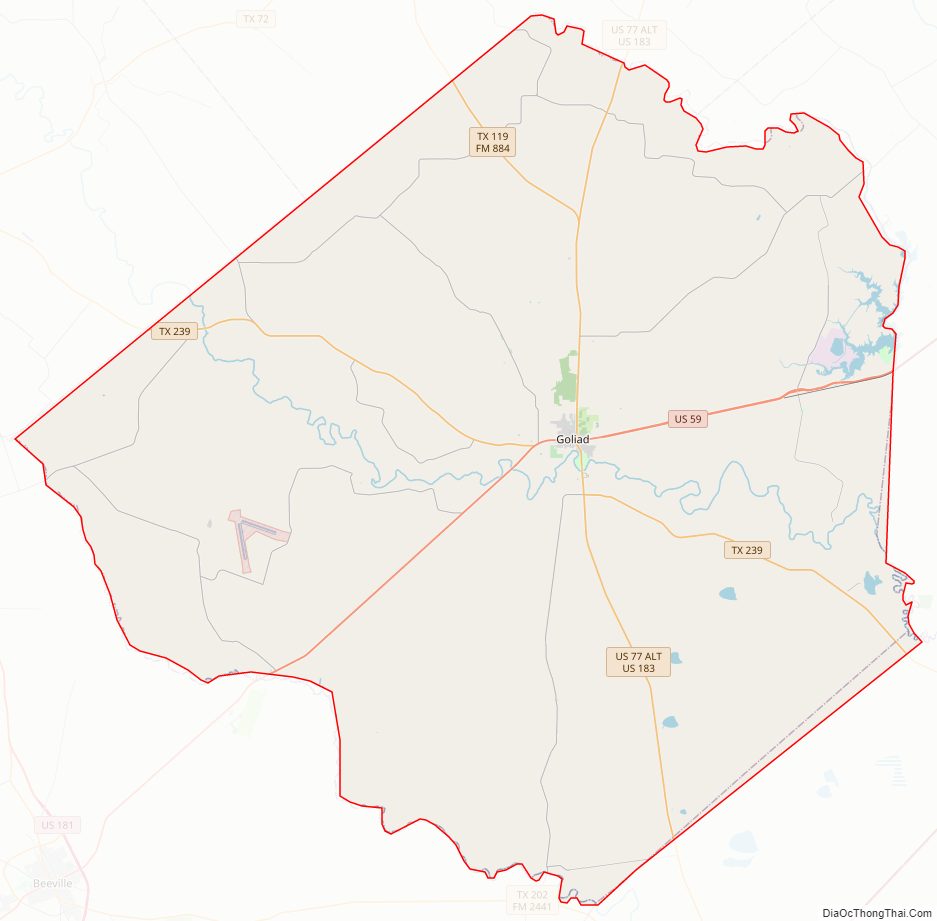
Goliad County Road Map
Geography
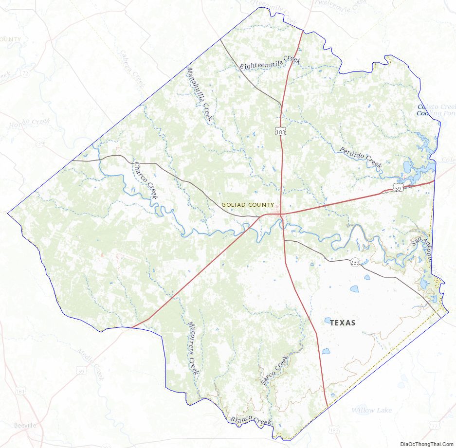
According to the U.S. Census Bureau, the county has a total area of 859 square miles (2,220 km), of which 852 square miles (2,210 km) is land and 7.4 square miles (19 km) (0.9%) is water.
Major Highways
- U.S. Highway 59
- Interstate 69W is currently under construction and will follow the current route of U.S. 59 in most places.
- U.S. Highway 77 Alternate/U.S. Highway 183
- State Highway 119
- State Highway 239
- Farm to Market Road 81
- Farm to Market Road 622
- Farm to Market Road 883
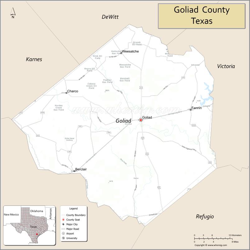
Adjacent counties
- DeWitt County (north)
- Victoria County (northeast)
- Refugio County (southeast)
- Bee County (southwest)
- Karnes County (northwest)
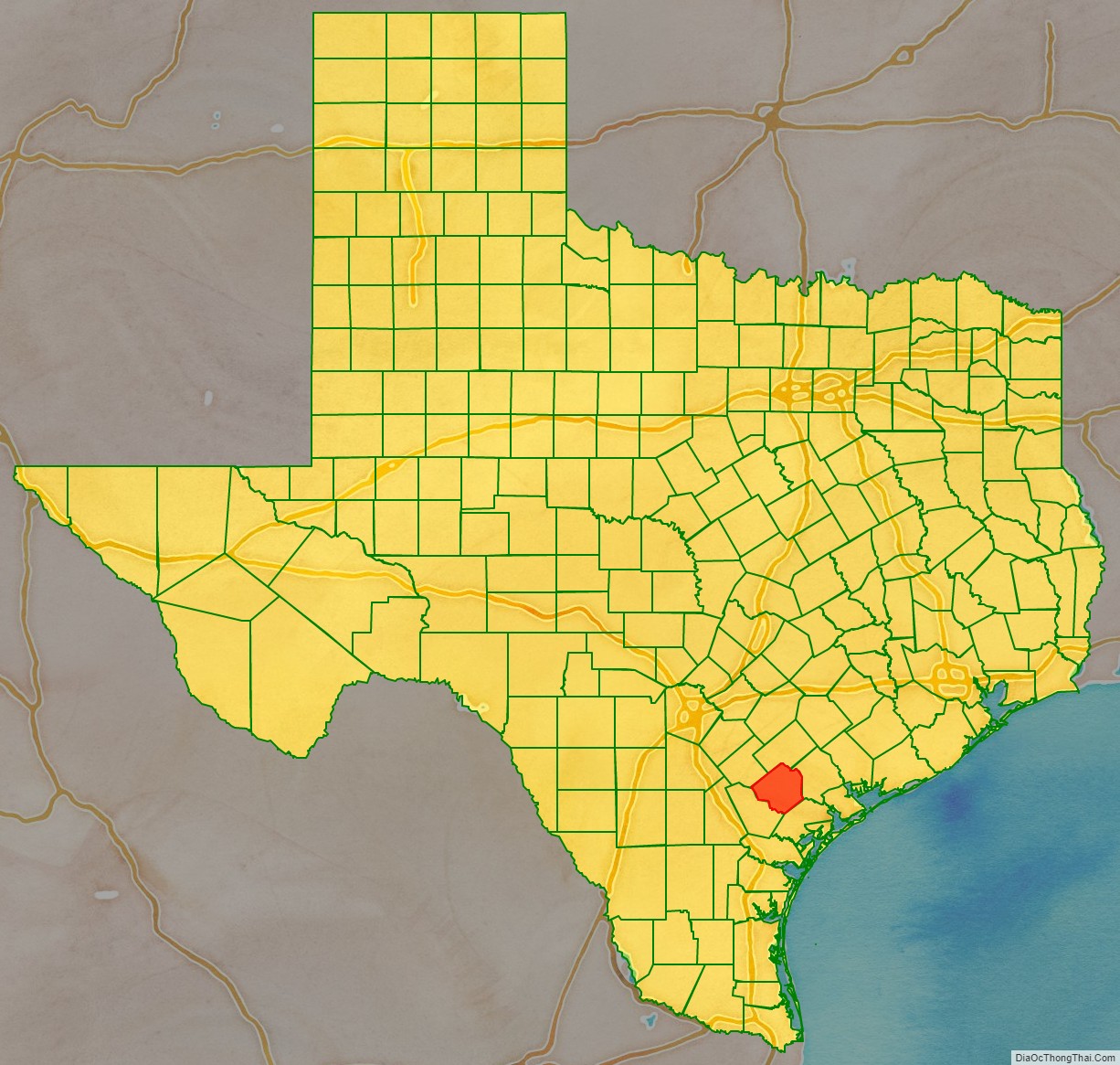
Goliad County Topographic Map
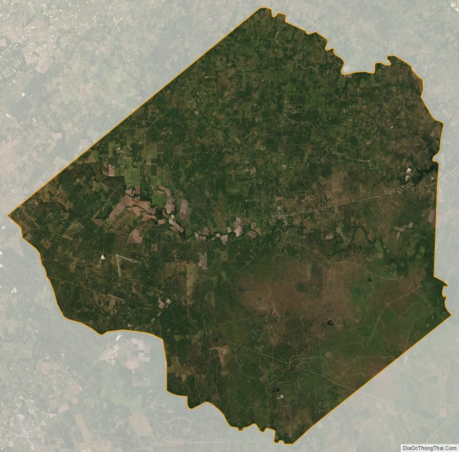
Goliad County Satellite Map
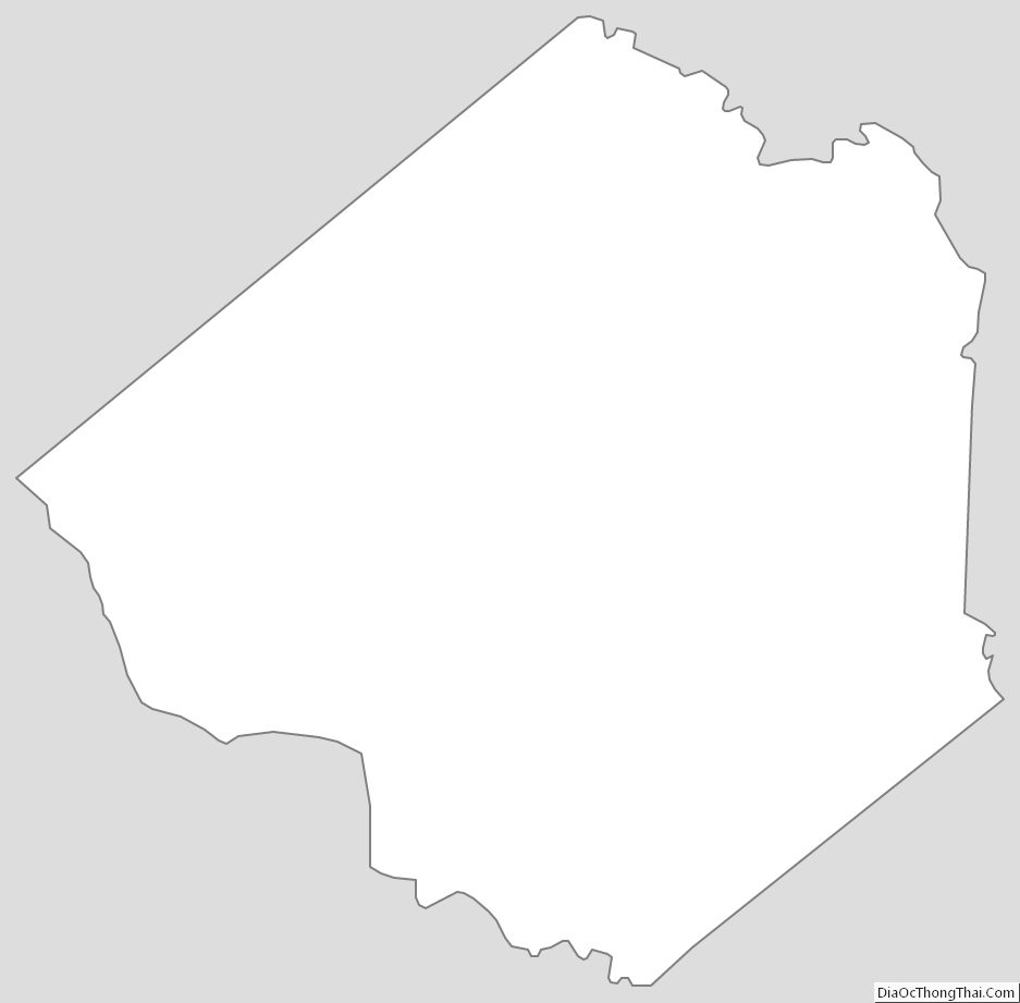
Goliad County Outline Map
See also
Map of Texas State and its subdivision:- Anderson
- Andrews
- Angelina
- Aransas
- Archer
- Armstrong
- Atascosa
- Austin
- Bailey
- Bandera
- Bastrop
- Baylor
- Bee
- Bell
- Bexar
- Blanco
- Borden
- Bosque
- Bowie
- Brazoria
- Brazos
- Brewster
- Briscoe
- Brooks
- Brown
- Burleson
- Burnet
- Caldwell
- Calhoun
- Callahan
- Cameron
- Camp
- Carson
- Cass
- Castro
- Chambers
- Cherokee
- Childress
- Clay
- Cochran
- Coke
- Coleman
- Collin
- Collingsworth
- Colorado
- Comal
- Comanche
- Concho
- Cooke
- Coryell
- Cottle
- Crane
- Crockett
- Crosby
- Culberson
- Dallam
- Dallas
- Dawson
- Deaf Smith
- Delta
- Denton
- Dewitt
- Dickens
- Dimmit
- Donley
- Duval
- Eastland
- Ector
- Edwards
- El Paso
- Ellis
- Erath
- Falls
- Fannin
- Fayette
- Fisher
- Floyd
- Foard
- Fort Bend
- Franklin
- Freestone
- Frio
- Gaines
- Galveston
- Garza
- Gillespie
- Glasscock
- Goliad
- Gonzales
- Gray
- Grayson
- Gregg
- Grimes
- Guadalupe
- Hale
- Hall
- Hamilton
- Hansford
- Hardeman
- Hardin
- Harris
- Harrison
- Hartley
- Haskell
- Hays
- Hemphill
- Henderson
- Hidalgo
- Hill
- Hockley
- Hood
- Hopkins
- Houston
- Howard
- Hudspeth
- Hunt
- Hutchinson
- Irion
- Jack
- Jackson
- Jasper
- Jeff Davis
- Jefferson
- Jim Hogg
- Jim Wells
- Johnson
- Jones
- Karnes
- Kaufman
- Kendall
- Kenedy
- Kent
- Kerr
- Kimble
- King
- Kinney
- Kleberg
- Knox
- La Salle
- Lamar
- Lamb
- Lampasas
- Lavaca
- Lee
- Leon
- Liberty
- Limestone
- Lipscomb
- Live Oak
- Llano
- Loving
- Lubbock
- Lynn
- Madison
- Marion
- Martin
- Mason
- Matagorda
- Maverick
- McCulloch
- McLennan
- McMullen
- Medina
- Menard
- Midland
- Milam
- Mills
- Mitchell
- Montague
- Montgomery
- Moore
- Morris
- Motley
- Nacogdoches
- Navarro
- Newton
- Nolan
- Nueces
- Ochiltree
- Oldham
- Orange
- Palo Pinto
- Panola
- Parker
- Parmer
- Pecos
- Polk
- Potter
- Presidio
- Rains
- Randall
- Reagan
- Real
- Red River
- Reeves
- Refugio
- Roberts
- Robertson
- Rockwall
- Runnels
- Rusk
- Sabine
- San Augustine
- San Jacinto
- San Patricio
- San Saba
- Schleicher
- Scurry
- Shackelford
- Shelby
- Sherman
- Smith
- Somervell
- Starr
- Stephens
- Sterling
- Stonewall
- Sutton
- Swisher
- Tarrant
- Taylor
- Terrell
- Terry
- Throckmorton
- Titus
- Tom Green
- Travis
- Trinity
- Tyler
- Upshur
- Upton
- Uvalde
- Val Verde
- Van Zandt
- Victoria
- Walker
- Waller
- Ward
- Washington
- Webb
- Wharton
- Wheeler
- Wichita
- Wilbarger
- Willacy
- Williamson
- Wilson
- Winkler
- Wise
- Wood
- Yoakum
- Young
- Zapata
- Zavala
- Alabama
- Alaska
- Arizona
- Arkansas
- California
- Colorado
- Connecticut
- Delaware
- District of Columbia
- Florida
- Georgia
- Hawaii
- Idaho
- Illinois
- Indiana
- Iowa
- Kansas
- Kentucky
- Louisiana
- Maine
- Maryland
- Massachusetts
- Michigan
- Minnesota
- Mississippi
- Missouri
- Montana
- Nebraska
- Nevada
- New Hampshire
- New Jersey
- New Mexico
- New York
- North Carolina
- North Dakota
- Ohio
- Oklahoma
- Oregon
- Pennsylvania
- Rhode Island
- South Carolina
- South Dakota
- Tennessee
- Texas
- Utah
- Vermont
- Virginia
- Washington
- West Virginia
- Wisconsin
- Wyoming