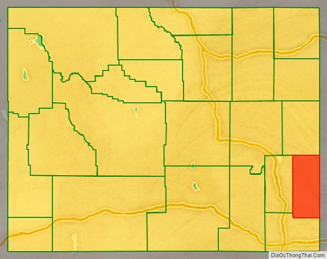
Goshen County is a county in the U.S. state of Wyoming. As of the 2020 United States Census, the population was 12,498. Its county seat is Torrington. The eastern boundary of the County borders the Nebraska state line.
Goshen County produces more cattle than any other Wyoming county. In 1997, the county had a total of 688 farms and ranches, averaging 1,840 acres. As of 2007, this had declined slightly to 665 farms and ranches in the county.
| Name: | Goshen County |
|---|---|
| FIPS code: | 56-015 |
| State: | Wyoming |
| Founded: | February 21, 1911 (authorized) 1913 (organized) |
| Named for: | Land of Goshen |
| Seat: | Torrington |
| Largest city: | Torrington |
| Total Area: | 2,232 sq mi (5,780 km²) |
| Land Area: | 2,225 sq mi (5,760 km²) |
| Total Population: | 13,249 |
| Population Density: | 5.9/sq mi (2.3/km²) |
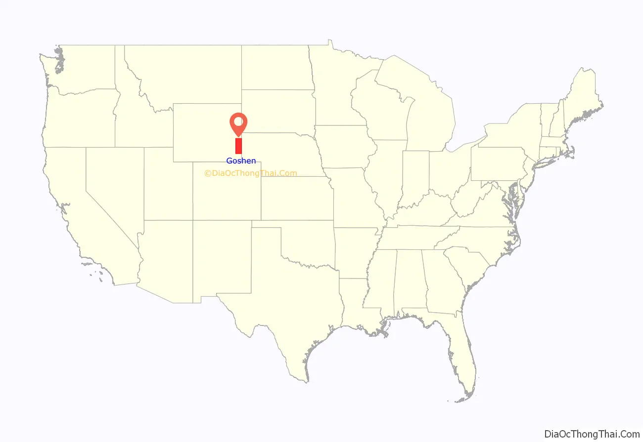
Goshen County location map. Where is Goshen County?
History
Goshen County was created in 1911 from a portion of Laramie County. Its government was organized in 1913. This area was part of territories, at one time or another, claimed by: Spain, France, Great Britain, Mexico, and the Republic of Texas. The Louisiana Purchase in 1803 permanently established the claim of the United States to the area.
By the 1820s, the North Platte River had become a route for westward-bound fur traders and trappers. By the 1840s this route became part of the Oregon Trail or Mormon Trail. By the late 1850s, it was the route for regularly scheduled east-west stagecoaches carrying passengers and the U.S. mail, and for the short-lived Pony Express carrying mail from Missouri to California (April 1860 to November 1861). By October 1861, transcontinental telegraph lines had been completed along the route. From September 1876 to February 1887, a north-south, Cheyenne–Deadwood stage coach line ran through the County from Cheyenne to the gold fields of the Dakota Territory.
The county was apparently named for Goshen Hole, a valley in the southwest part of the county. John C. Frémont camped in that area on July 14, 1843, and recorded that name in his journal, during an expedition on the Oregon Trail. At least four conflicting stories are available for the origin of the name “Goshen Hole”. The Land of Goshen in Egypt, mentioned in the 45th chapter of the Genesis in the Bible, has been suggested as the most likely. And, John Hunton, who was ranching in the area by the 1870s, was told by Seth Ward, the post sutler at Fort Laramie, that the area was named for the Biblical land. The name of Goshen Hole first appeared on a map years later, in 1888.
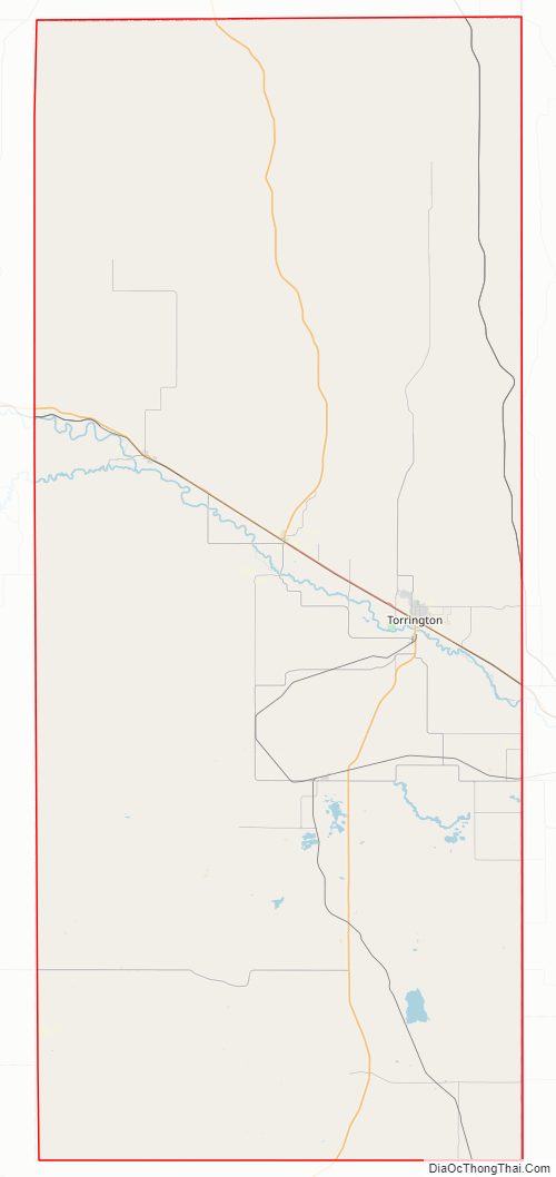
Goshen County Road Map
Geography
According to the US Census Bureau, the county has a total area of 2,232 square miles (5,780 km), of which 2,225 square miles (5,760 km) is land and 6.8 square miles (18 km) (0.3%) is water. The County is situated in the High Plains east of the Rocky Mountains.
Adjacent counties
- Niobrara County – north
- Platte County – west
- Laramie County – south
- Banner County, Nebraska – southeast
- Scotts Bluff County, Nebraska – east
- Sioux County, Nebraska – east
National protected area
- Fort Laramie National Historic Site
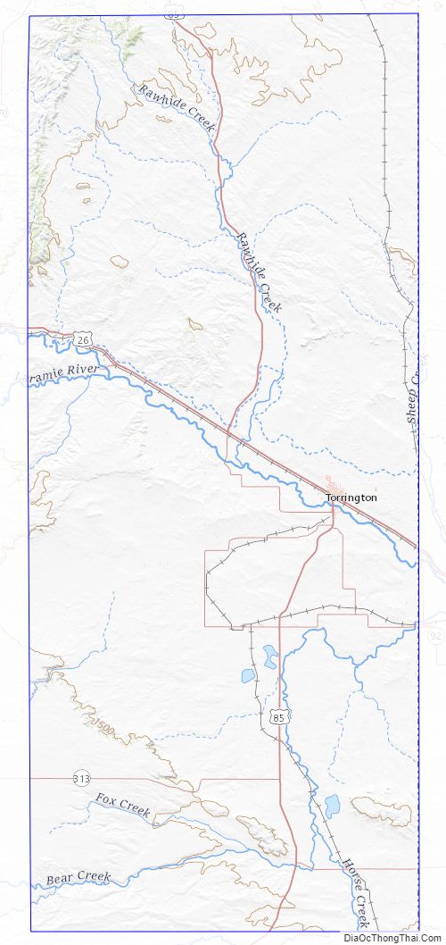
Goshen County Topographic Map
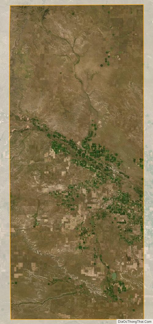
Goshen County Satellite Map
Goshen County Outline Map

See also
Map of Wyoming State and its subdivision: Map of other states:- Alabama
- Alaska
- Arizona
- Arkansas
- California
- Colorado
- Connecticut
- Delaware
- District of Columbia
- Florida
- Georgia
- Hawaii
- Idaho
- Illinois
- Indiana
- Iowa
- Kansas
- Kentucky
- Louisiana
- Maine
- Maryland
- Massachusetts
- Michigan
- Minnesota
- Mississippi
- Missouri
- Montana
- Nebraska
- Nevada
- New Hampshire
- New Jersey
- New Mexico
- New York
- North Carolina
- North Dakota
- Ohio
- Oklahoma
- Oregon
- Pennsylvania
- Rhode Island
- South Carolina
- South Dakota
- Tennessee
- Texas
- Utah
- Vermont
- Virginia
- Washington
- West Virginia
- Wisconsin
- Wyoming