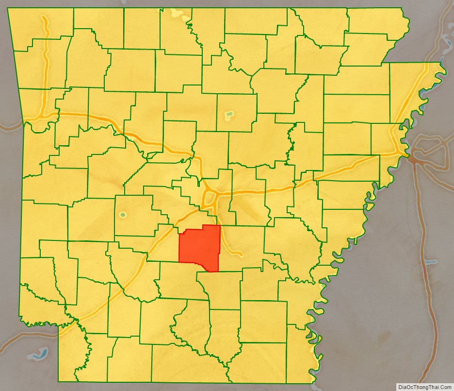
Grant County is a county in the U.S. state of Arkansas. Its population was 17,958 at the 2020 United States Census. The county seat is Sheridan.
Grant County is included in the Little Rock–North Little Rock–Conway, AR Metropolitan Statistical Area.
| Name: | Grant County |
|---|---|
| FIPS code: | 05-053 |
| State: | Arkansas |
| Founded: | February 4, 1869 |
| Named for: | Ulysses S. Grant |
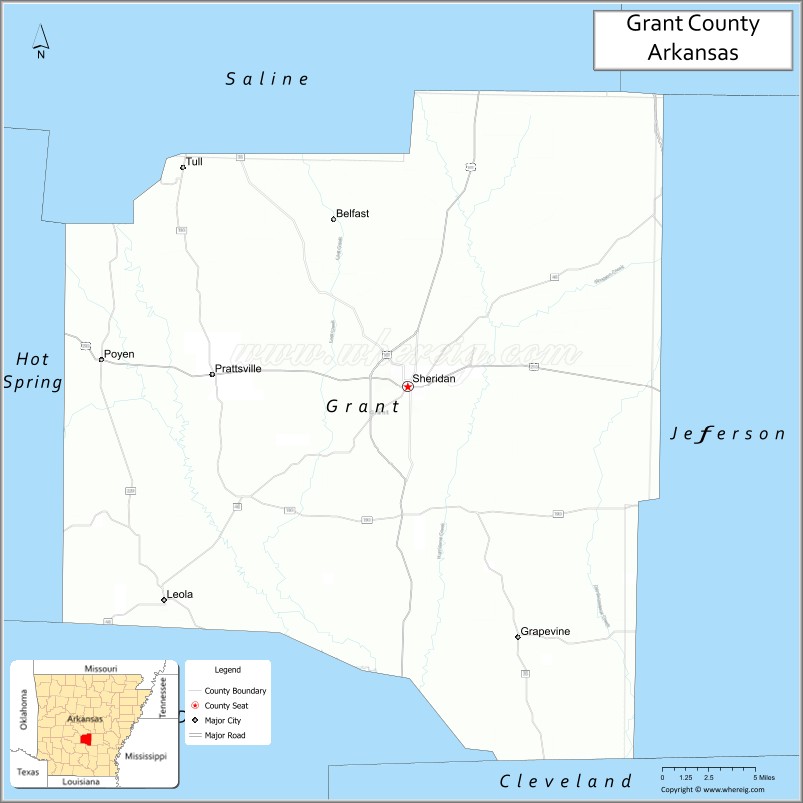
| Seat: | Sheridan |
| Largest city: | Sheridan |
| Total Area: | 633 sq mi (1,640 km²) |
| Land Area: | 632 sq mi (1,640 km²) |
| Total Population: | 17,958 |
| Population Density: | 28/sq mi (11/km²) |
| Time zone: | UTC−6 (Central) |
| Summer Time Zone (DST): | UTC−5 (CDT) |
| Website: | www.grantcountyar.com |
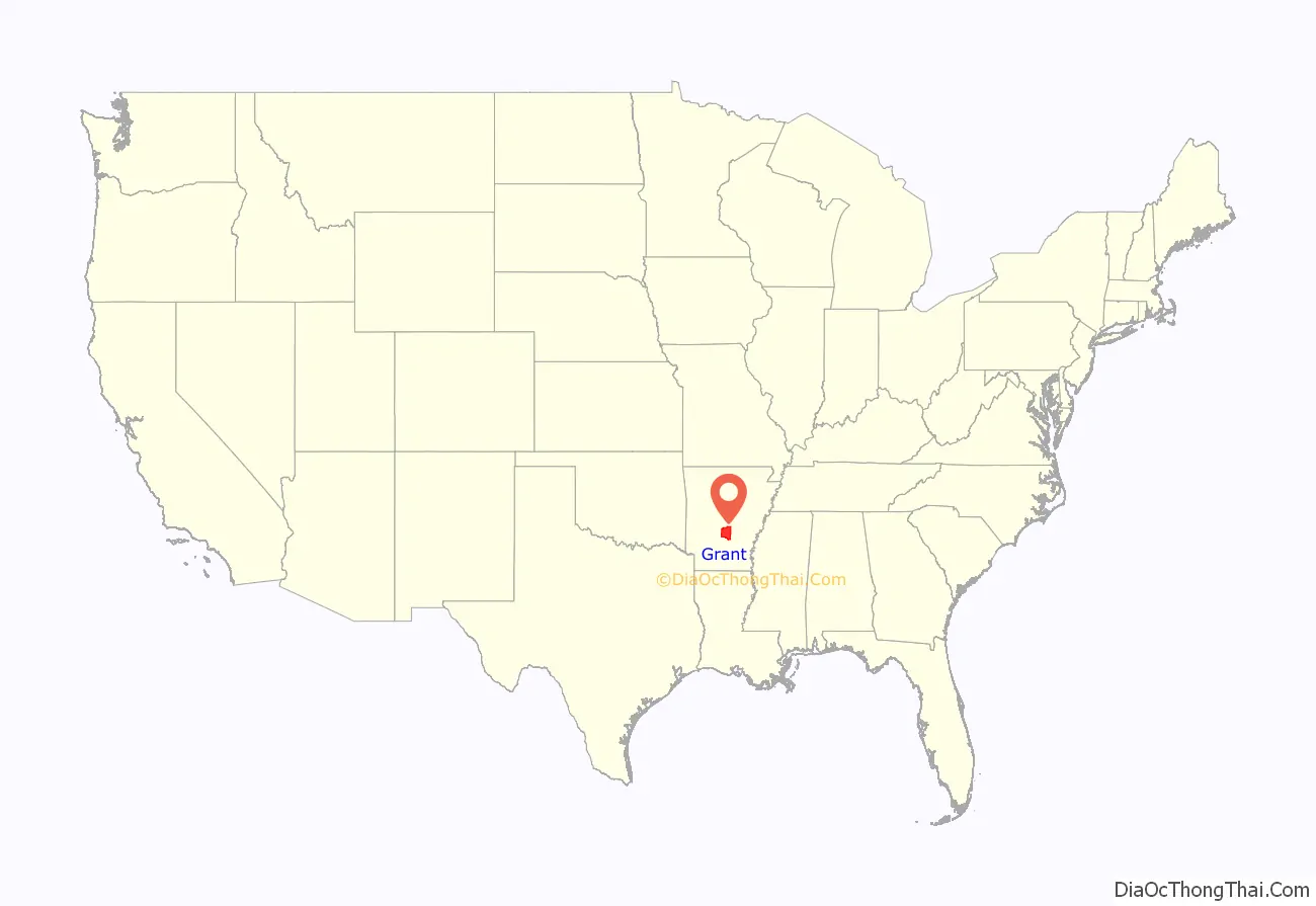
Grant County location map. Where is Grant County?
History
Formed on February 4, 1869, Grant County was named in honor of U.S. President-elect Ulysses S. Grant. It is an alcohol prohibition or dry county.
Robert W. Glover, a Missionary Baptist pastor who served in both houses of the Arkansas General Assembly (1905-1912) from Sheridan, introduced in 1909 the resolution calling for the establishment of four state agricultural colleges. His brother, David Delano Glover, a Methodist, was a state representative in the 1907 session and a member of the United States House of Representatives from 1929 to 1935, having been unseated in 1934 by Grant County native John Little McClellan who at the time was practicing law in Camden. McClellan later went on to become Arkansas’s longest serving U.S. senator.
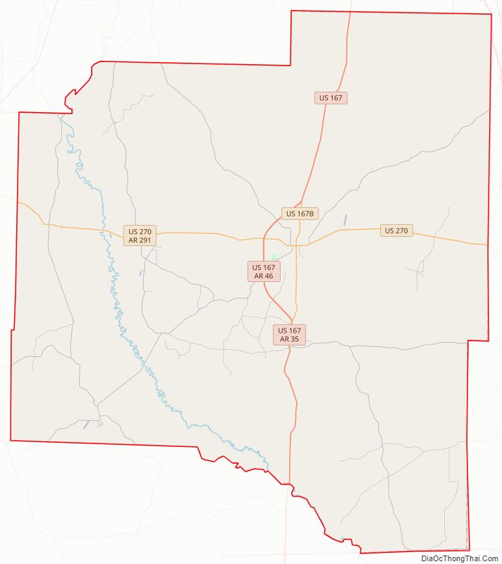
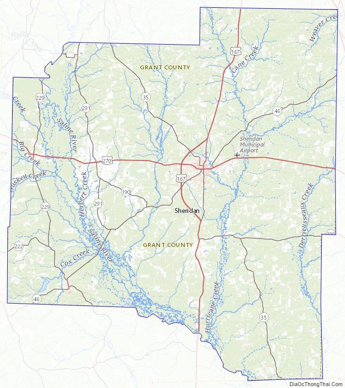
Grant County Road Map
Geography
According to the U.S. Census Bureau, the county has a total area of 633 square miles (1,640 km), of which 632 square miles (1,640 km) is land and 1.1 square miles (2.8 km) (0.2%) is water. Grant County is considered part of the Arkansas Timberlands geographical area.
Major highways
- U.S. Highway 167
- U.S. Highway 270
- Highway 35
- Highway 46
Adjacent counties
- Saline County (north)
- Pulaski County (northeast)
- Jefferson County (east)
- Cleveland County (southeast)
- Dallas County (south)
- Hot Spring County (west)
Grant County Topographic Map
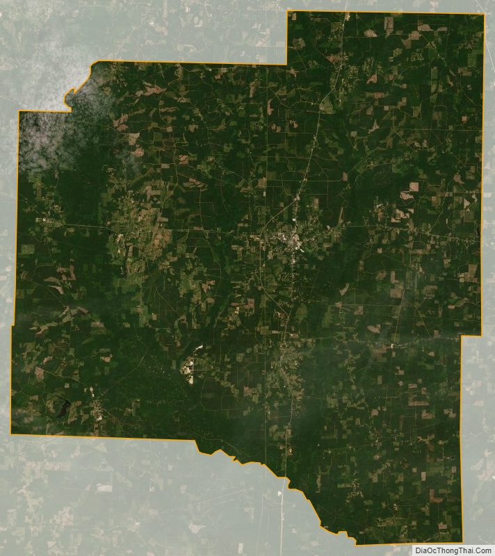
Grant County Satellite Map
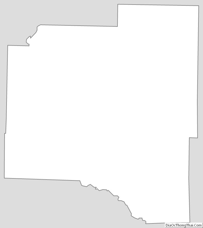
Grant County Outline Map
See also
Map of Arkansas State and its subdivision:- Arkansas
- Ashley
- Baxter
- Benton
- Boone
- Bradley
- Calhoun
- Carroll
- Chicot
- Clark
- Clay
- Cleburne
- Cleveland
- Columbia
- Conway
- Craighead
- Crawford
- Crittenden
- Cross
- Dallas
- Desha
- Drew
- Faulkner
- Franklin
- Fulton
- Garland
- Grant
- Greene
- Hempstead
- Hot Spring
- Howard
- Independence
- Izard
- Jackson
- Jefferson
- Johnson
- Lafayette
- Lawrence
- Lee
- Lincoln
- Little River
- Logan
- Lonoke
- Madison
- Marion
- Miller
- Mississippi
- Monroe
- Montgomery
- Nevada
- Newton
- Ouachita
- Perry
- Phillips
- Pike
- Poinsett
- Polk
- Pope
- Prairie
- Pulaski
- Randolph
- Saint Francis
- Saline
- Scott
- Searcy
- Sebastian
- Sevier
- Sharp
- Stone
- Union
- Van Buren
- Washington
- White
- Woodruff
- Yell
- Alabama
- Alaska
- Arizona
- Arkansas
- California
- Colorado
- Connecticut
- Delaware
- District of Columbia
- Florida
- Georgia
- Hawaii
- Idaho
- Illinois
- Indiana
- Iowa
- Kansas
- Kentucky
- Louisiana
- Maine
- Maryland
- Massachusetts
- Michigan
- Minnesota
- Mississippi
- Missouri
- Montana
- Nebraska
- Nevada
- New Hampshire
- New Jersey
- New Mexico
- New York
- North Carolina
- North Dakota
- Ohio
- Oklahoma
- Oregon
- Pennsylvania
- Rhode Island
- South Carolina
- South Dakota
- Tennessee
- Texas
- Utah
- Vermont
- Virginia
- Washington
- West Virginia
- Wisconsin
- Wyoming