Grant County is a county located on the northern border of the U.S. state of Oklahoma. As of the 2010 census, the population was 4,527. Its county seat is Medford. Originally designated as part of the Cherokee Outlet, it was named County L in Oklahoma Territory at the time of its opening to non-Indian settlement. A county election renamed it for U.S. President Ulysses S. Grant.
| Name: | Grant County |
|---|---|
| FIPS code: | 40-053 |
| State: | Oklahoma |
| Founded: | 1893 |
| Named for: | Ulysses S. Grant |
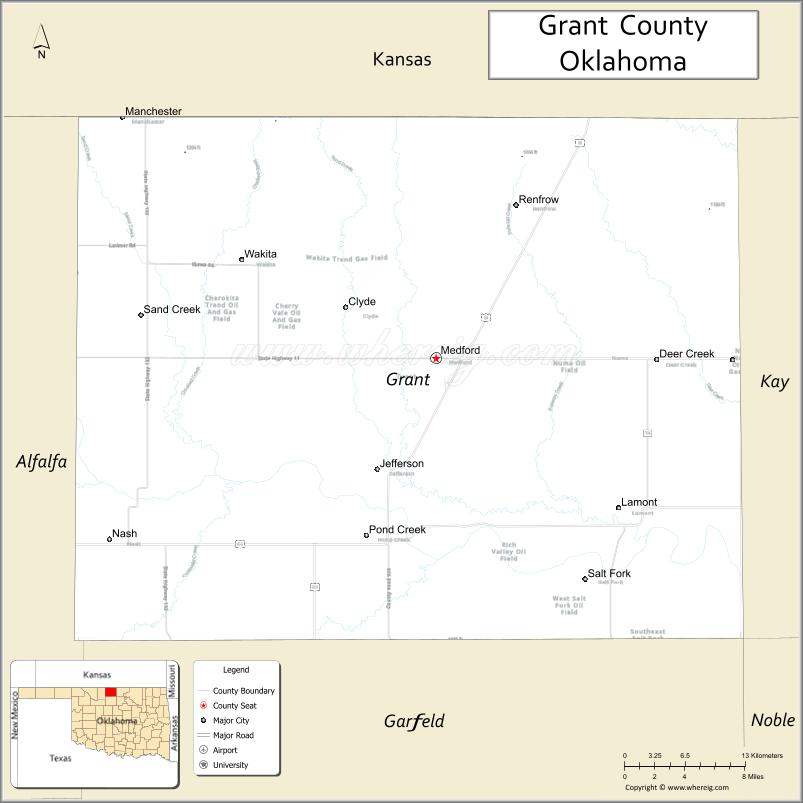
| Seat: | Medford |
| Largest city: | Medford |
| Total Area: | 1,004 sq mi (2,600 km²) |
| Land Area: | 1,001 sq mi (2,590 km²) |
| Total Population: | 4,527 |
| Population Density: | 4.5/sq mi (1.7/km²) |
| Time zone: | UTC−6 (Central) |
| Summer Time Zone (DST): | UTC−5 (CDT) |
| Website: | www.grantcountyok.com |
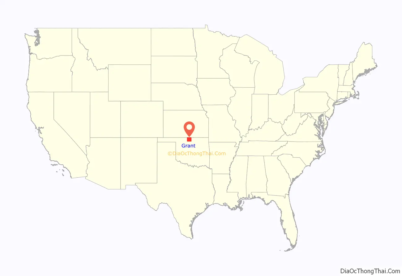
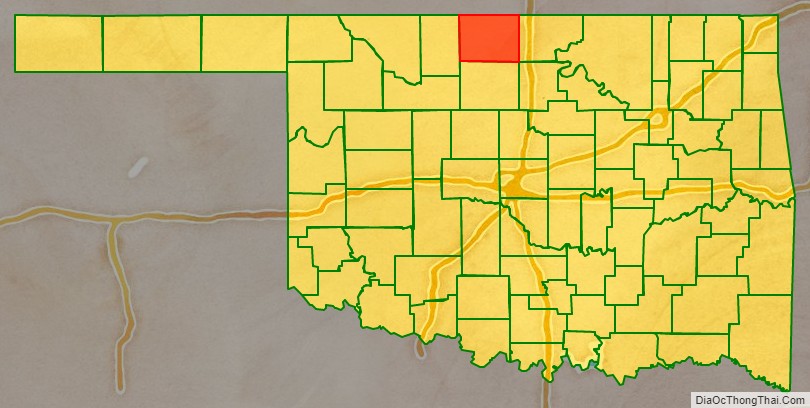
Grant County location map. Where is Grant County?
History
Grant County was part of the Cherokee Nation’s Cherokee Outlet until it was opened to non-Indian settlers in response to public demand on September 16, 1893. Settlers named the county after President Ulysses S. Grant in a general election held November 6, 1894. Congress originally designated this area as County L in Oklahoma Territory, with the county seat at Pond Creek. Medford became the county seat through an election held on May 27, 1908.
The Chicago, Kansas and Nebraska Railway (later the Chicago, Rock Island and Pacific Railway) built a railroad from northern Kansas through Grant County in 1889 and 1890. In 1897, the Gulf Railroad (later the Atchison, Topeka and Santa Fe Railway, AT&SF) linked Manchester, Wakita, Medford, and Deer Creek. At the start of the 20th century, the Blackwell, Enid and Southwestern Railroad (later the St. Louis and San Francisco Railway) passed through Lamont. Still later, the Denver, Enid and Gulf Railroad (later the AT&SF) reached Nash (Nashville).
The railroads gave the county access to markets in the northern and eastern U.S., helping turn the county into a major agriculture and cattle producer. At statehood, the principal crops were wheat, corn, oats, alfalfa, and forage sorghum. The county also had more than fourteen thousand each of hogs and cattle as well as almost thirteen thousand horses.
Bethel was the site of a post office in Grant County that existed from March 12, 1895, until November 2, 1895.
Florence was the site of a post office in Grant Co. that existed prior to 1908 but ceased to exist circa 1920, after the post office closed, per information acquired in researching an ancestor, Isaac Arnold, who was postmaster in Florence from August 1908 to 1920.
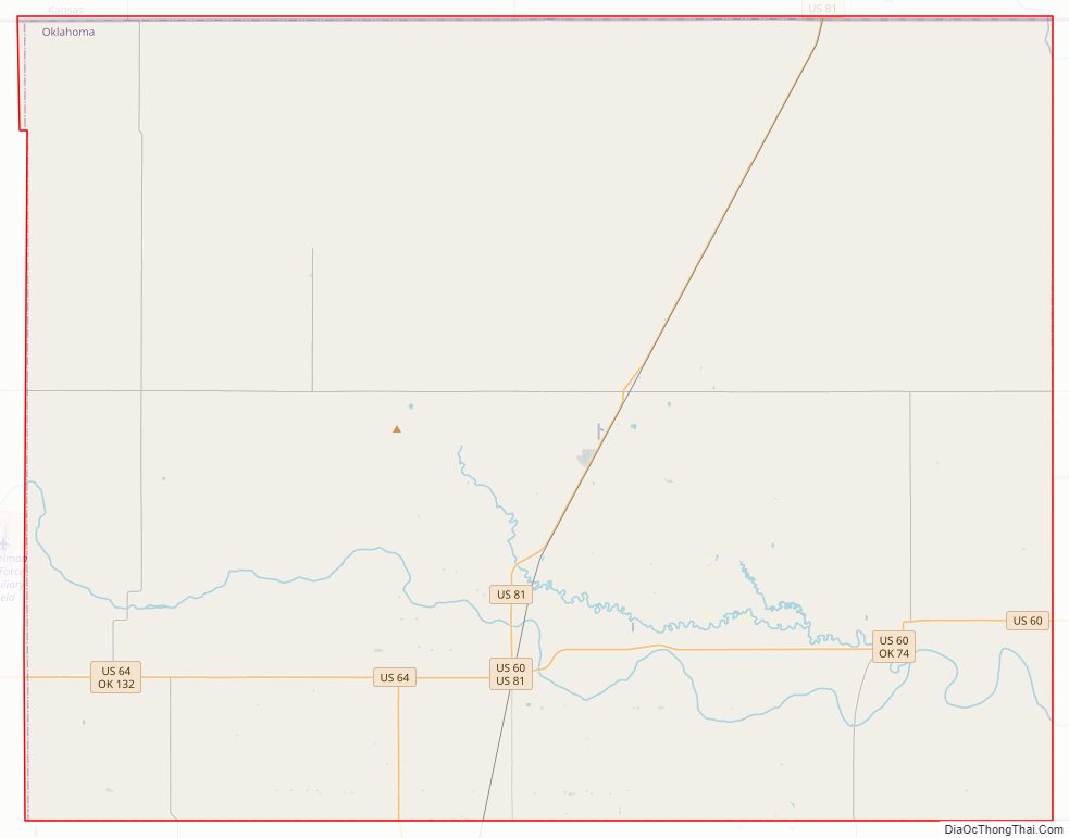
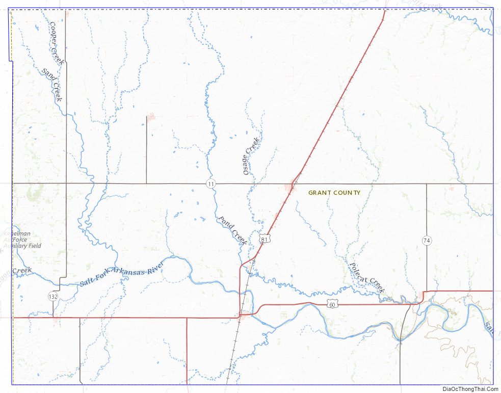
Grant County Road Map
Geography
According to the U.S. Census Bureau, the county has a total area of 1,004 square miles (2,600 km), of which 1,001 square miles (2,590 km) is land and 2.7 square miles (7.0 km) (0.3%) is water. Most of the county is drained by the Salt Fork of the Arkansas River and its tributaries (Pond, Deer, Osage, and Crooked creeks). The Chikaskia River flows southeast from Kansas into the county’s northeastern corner, then crosses east into Kay County.
The county is by the U.S. state of Kansas on the north, specifically Sumner and Harper counties. Adjacent counties in Oklahoma are Kay County to the east, Garfield County to the south, and Alfalfa County to the west.
Major highways
- U.S. Route 60
- U.S. Route 64
- U.S. Route 81
- State Highway 11
- State Highway 11A
- State Highway 74
- State Highway 132
Adjacent Counties
- Alfalfa County (west)
- Garfield County (south)
- Harper County, Kansas (northwest)
- Kay County (east)
- Noble County (southeast)
- Sumner County, Kansas (northeast)
Grant County Topographic Map
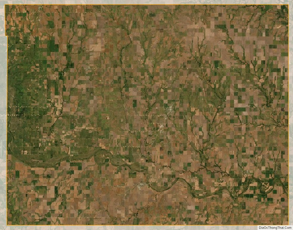
Grant County Satellite Map
Grant County Outline Map

See also
Map of Oklahoma State and its subdivision:- Adair
- Alfalfa
- Atoka
- Beaver
- Beckham
- Blaine
- Bryan
- Caddo
- Canadian
- Carter
- Cherokee
- Choctaw
- Cimarron
- Cleveland
- Coal
- Comanche
- Cotton
- Craig
- Creek
- Custer
- Delaware
- Dewey
- Ellis
- Garfield
- Garvin
- Grady
- Grant
- Greer
- Harmon
- Harper
- Haskell
- Hughes
- Jackson
- Jefferson
- Johnston
- Kay
- Kingfisher
- Kiowa
- Latimer
- Le Flore
- Lincoln
- Logan
- Love
- Major
- Marshall
- Mayes
- McClain
- McCurtain
- McIntosh
- Murray
- Muskogee
- Noble
- Nowata
- Okfuskee
- Oklahoma
- Okmulgee
- Osage
- Ottawa
- Pawnee
- Payne
- Pittsburg
- Pontotoc
- Pottawatomie
- Pushmataha
- Roger Mills
- Rogers
- Seminole
- Sequoyah
- Stephens
- Texas
- Tillman
- Tulsa
- Wagoner
- Washington
- Washita
- Woods
- Woodward
- Alabama
- Alaska
- Arizona
- Arkansas
- California
- Colorado
- Connecticut
- Delaware
- District of Columbia
- Florida
- Georgia
- Hawaii
- Idaho
- Illinois
- Indiana
- Iowa
- Kansas
- Kentucky
- Louisiana
- Maine
- Maryland
- Massachusetts
- Michigan
- Minnesota
- Mississippi
- Missouri
- Montana
- Nebraska
- Nevada
- New Hampshire
- New Jersey
- New Mexico
- New York
- North Carolina
- North Dakota
- Ohio
- Oklahoma
- Oregon
- Pennsylvania
- Rhode Island
- South Carolina
- South Dakota
- Tennessee
- Texas
- Utah
- Vermont
- Virginia
- Washington
- West Virginia
- Wisconsin
- Wyoming