Gregory County is a county in the U.S. state of South Dakota. As of the 2020 census, the population was 3,994. Its county seat is Burke. The county was created in 1862 and organized in 1898. It was named for the politician J. Shaw Gregory.
| Name: | Gregory County |
|---|---|
| FIPS code: | 46-053 |
| State: | South Dakota |
| Founded: | 1862 |
| Named for: | J. Shaw Gregory |
| Seat: | Burke |
| Largest city: | Gregory |
| Total Area: | 1,054 sq mi (2,730 km²) |
| Land Area: | 1,015 sq mi (2,630 km²) |
| Total Population: | 3,994 |
| Population Density: | 3.8/sq mi (1.5/km²) |
| Time zone: | UTC−6 (Central) |
| Summer Time Zone (DST): | UTC−5 (CDT) |
| Website: | gregory.sdcounties.org |
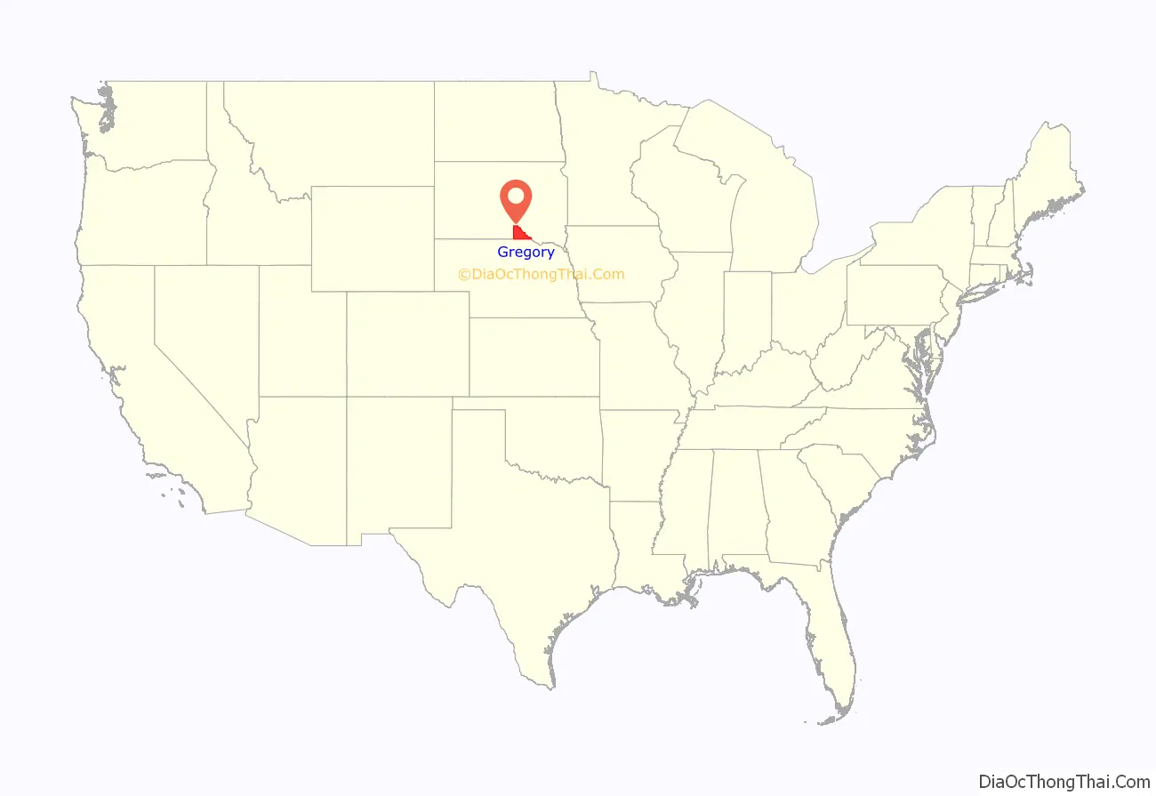
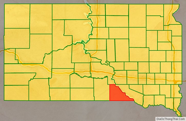
Gregory County location map. Where is Gregory County?
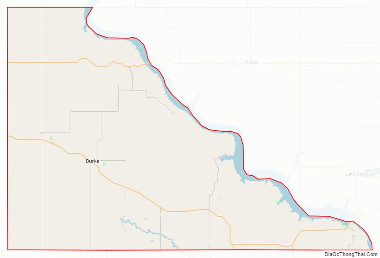
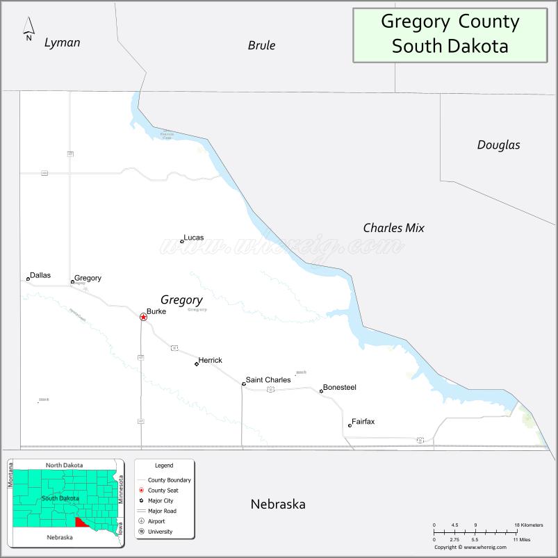
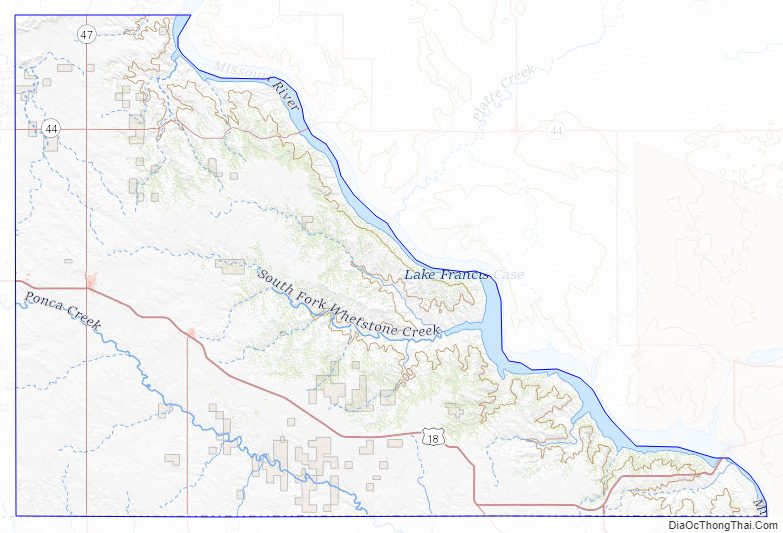
Gregory County Road Map
Geography
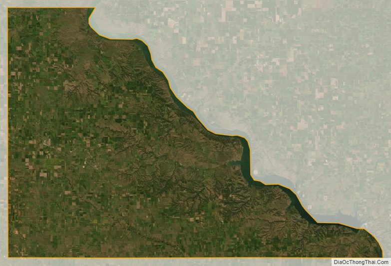
Gregory County lies on the south line of South Dakota. Its south boundary line abuts the north boundary line of Nebraska. The Missouri River flows southeastward along its east boundary line. The county terrain consists of rolling hills, sloping to the southeast. The eastern part of the county is etched with gullies and drainages, flowing to the river basin. The county’s highest point is in the SW corner, at 2,247′ (685m) ASL.
Gregory County has a total area of 1,054 square miles (2,730 km), of which 1,015 square miles (2,630 km) is land and 39 square miles (100 km) (3.7%) is water.
Major highways
- U.S. Highway 18
- U.S. Highway 281
- South Dakota Highway 43
- South Dakota Highway 44
- South Dakota Highway 47
- South Dakota Highway 251
- South Dakota Highway 1806
Adjacent counties
- Lyman County – north
- Charles Mix County – east
- Boyd County, Nebraska – south
- Keya Paha County, Nebraska – southwest
- Tripp County – west
Protected areas
- Burke Lake State Recreation Area
- Buryanek State Game Production Area
- Buryanek State Recreation Area
- Central Gregory State Game Production Area
- Dixon Dam State Game Production Area
- Herrick Lake State Game Production Area
- Karl E. Mundt National Wildlife Refuge (part)
- Landing Creek State Game Production Area
- Missouri National Recreational River (part)
- Randall Creek State Recreation Area
- Scalp Creek State Game Production Area
- Southern Gregory State Game Production Area
- South Scalp Creek State Lakeside Use Area
- South Shore State Lakeside Use Area
- South Wheeler State Lakeside Area
- Whetstone Bay State Lakeside Use Area
- Whetstone State Game Production Area
Lakes
- Burke Lake
- Indian Lake
- Lake Berry
- Lake Burch
- Lake Francis Case (part)
Gregory County Topographic Map
Gregory County Satellite Map
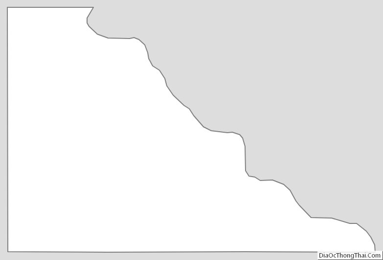
Gregory County Outline Map
See also
Map of South Dakota State and its subdivision:- Aurora
- Beadle
- Bennett
- Bon Homme
- Brookings
- Brown
- Brule
- Buffalo
- Butte
- Campbell
- Charles Mix
- Clark
- Clay
- Codington
- Corson
- Custer
- Davison
- Day
- Deuel
- Dewey
- Douglas
- Edmunds
- Fall River
- Faulk
- Grant
- Gregory
- Haakon
- Hamlin
- Hand
- Hanson
- Harding
- Hughes
- Hutchinson
- Hyde
- Jackson
- Jerauld
- Jones
- Kingsbury
- Lake
- Lawrence
- Lincoln
- Lyman
- Marshall
- McCook
- McPherson
- Meade
- Mellette
- Miner
- Minnehaha
- Moody
- Pennington
- Perkins
- Potter
- Roberts
- Sanborn
- Shannon
- Spink
- Stanley
- Sully
- Todd
- Tripp
- Turner
- Union
- Walworth
- Yankton
- Ziebach
- Alabama
- Alaska
- Arizona
- Arkansas
- California
- Colorado
- Connecticut
- Delaware
- District of Columbia
- Florida
- Georgia
- Hawaii
- Idaho
- Illinois
- Indiana
- Iowa
- Kansas
- Kentucky
- Louisiana
- Maine
- Maryland
- Massachusetts
- Michigan
- Minnesota
- Mississippi
- Missouri
- Montana
- Nebraska
- Nevada
- New Hampshire
- New Jersey
- New Mexico
- New York
- North Carolina
- North Dakota
- Ohio
- Oklahoma
- Oregon
- Pennsylvania
- Rhode Island
- South Carolina
- South Dakota
- Tennessee
- Texas
- Utah
- Vermont
- Virginia
- Washington
- West Virginia
- Wisconsin
- Wyoming