Hamilton County is a county in the U.S. state Nebraska. As of the 2020 United States Census, the population was 9,429. Its county seat is Aurora. The county was named for Alexander Hamilton, the first Secretary of the Treasury in the new United States government.
Hamilton County is included in the Grand Island, NE Metropolitan Statistical Area.
In the Nebraska license plate system, Hamilton County is represented by the prefix 28 (it had the 28th-largest number of vehicles registered in the county when the license plate system was established in 1922).
| Name: | Hamilton County |
|---|---|
| FIPS code: | 31-081 |
| State: | Nebraska |
| Founded: | 1867 |
| Named for: | Alexander Hamilton |
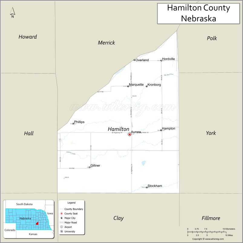
| Seat: | Aurora |
| Largest city: | Aurora |
| Total Area: | 547 sq mi (1,420 km²) |
| Land Area: | 544 sq mi (1,410 km²) |
| Total Population: | 9,386 |
| Population Density: | 16.9/sq mi (6.5/km²) |
| Time zone: | UTC−6 (Central) |
| Summer Time Zone (DST): | UTC−5 (CDT) |
| Website: | www.co.hamilton.ne.us |
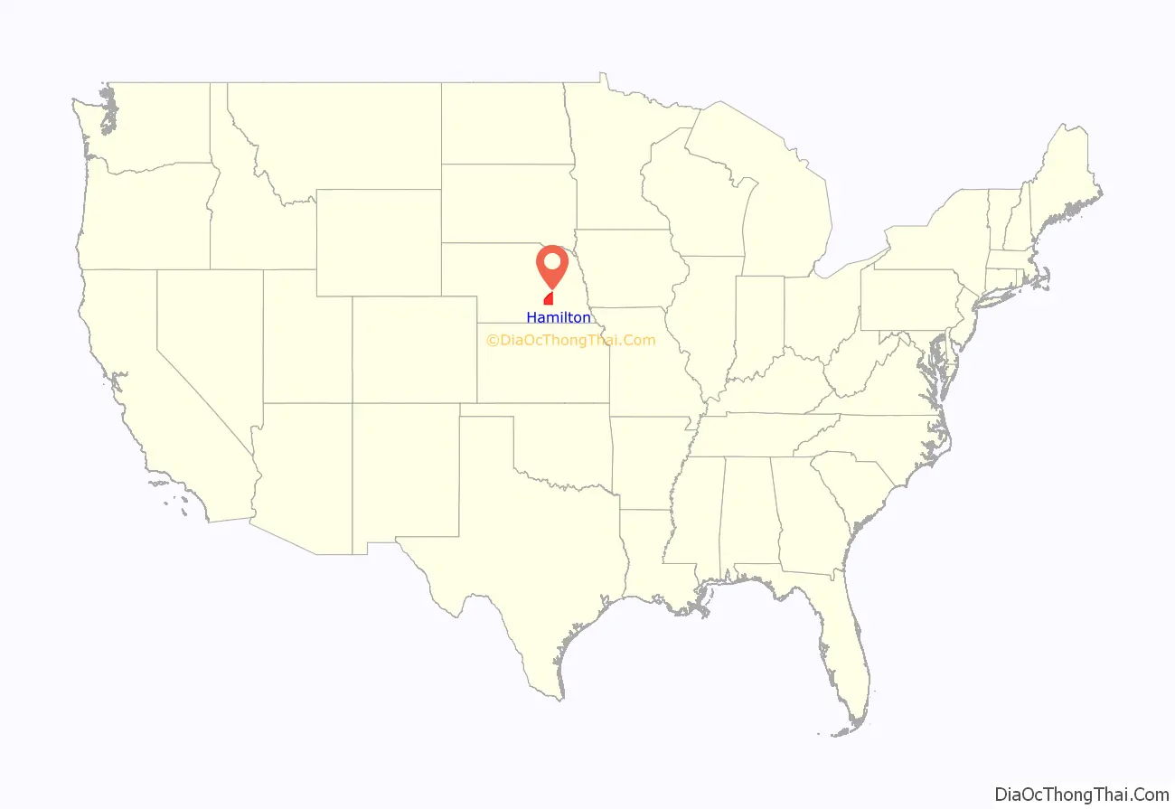
Hamilton County location map. Where is Hamilton County?
History
The first permanent settlers arrived in Hamilton County in 1866. Hamilton County was created in 1867, and was organized in 1870. It was named for Alexander Hamilton.
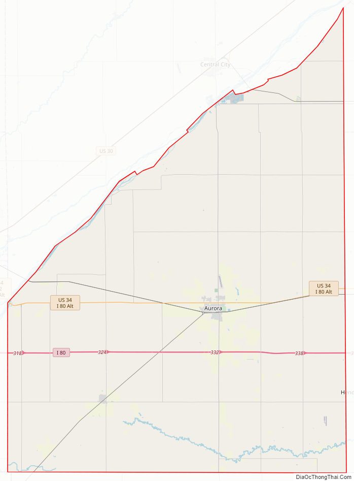
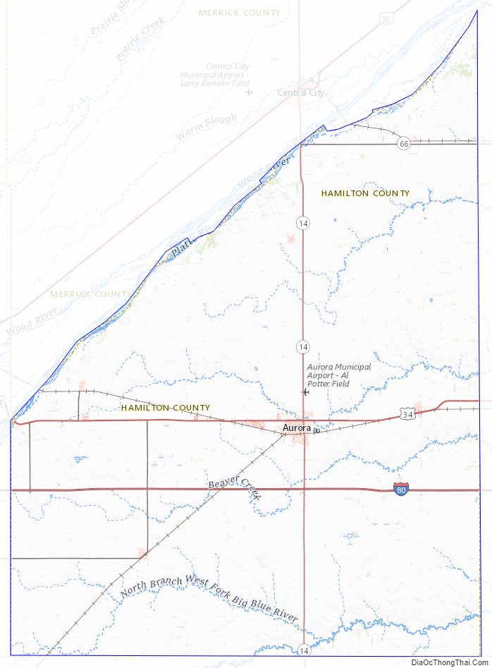
Hamilton County Road Map
Geography
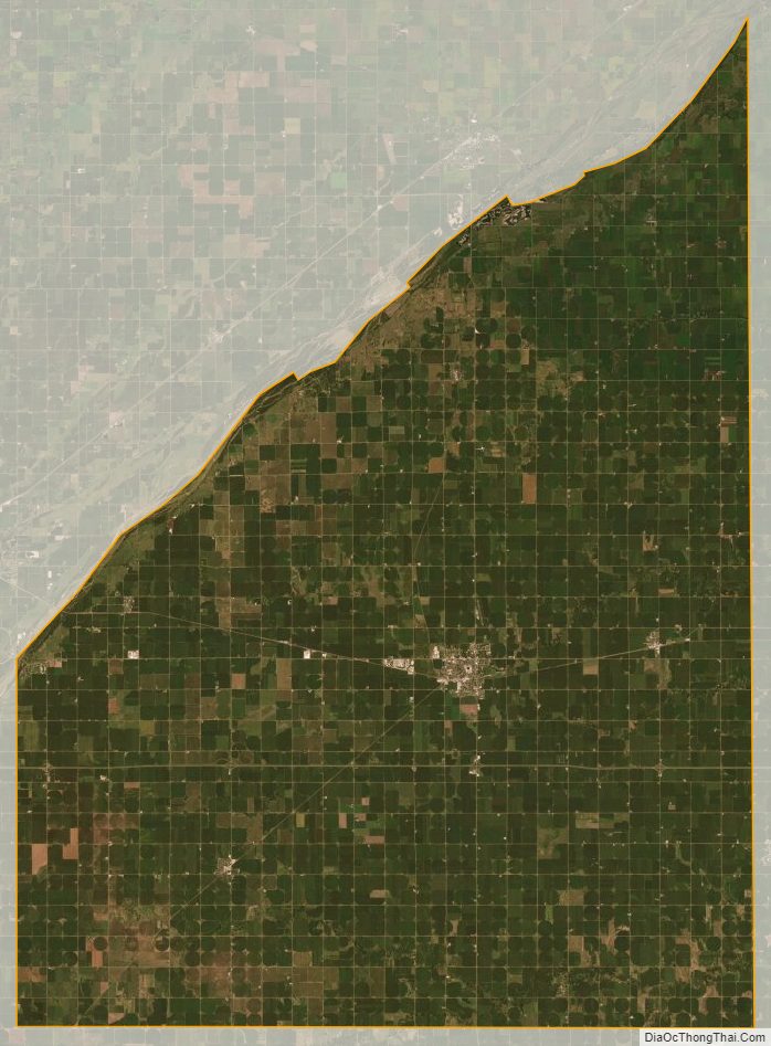
The Platte River flows northeastward along the northwest side of Hamilton County, forming the northwestern boundary line with Merrick County.
According to the U.S. Census Bureau, the county has a total area of 547 square miles (1,420 km), of which 543 square miles (1,410 km) is land and 4.1 square miles (11 km) (0.8%) is water.
Major highways
- Interstate 80
- U.S. Highway 34
- Nebraska Highway 2
- Nebraska Highway 14
- Nebraska Highway 66
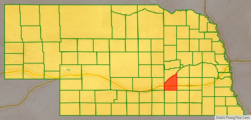
Adjacent counties
- Polk County – northeast
- York County – east
- Clay County – south
- Adams County – southwest
- Hall County – west
- Merrick County – north
Protected areas
- Gadwall State Wildlife Management Area
- Nelson Federal Waterfowl Production Area
- Pintail State Wildlife Management Area
- Rainwater Basin Wildlife Management District
- Springer Federal Waterfowl Production Area
- Troester Federal Waterfowl Production Area
- Deep Well State Wildlife Management Area
Hamilton County Topographic Map
Hamilton County Satellite Map
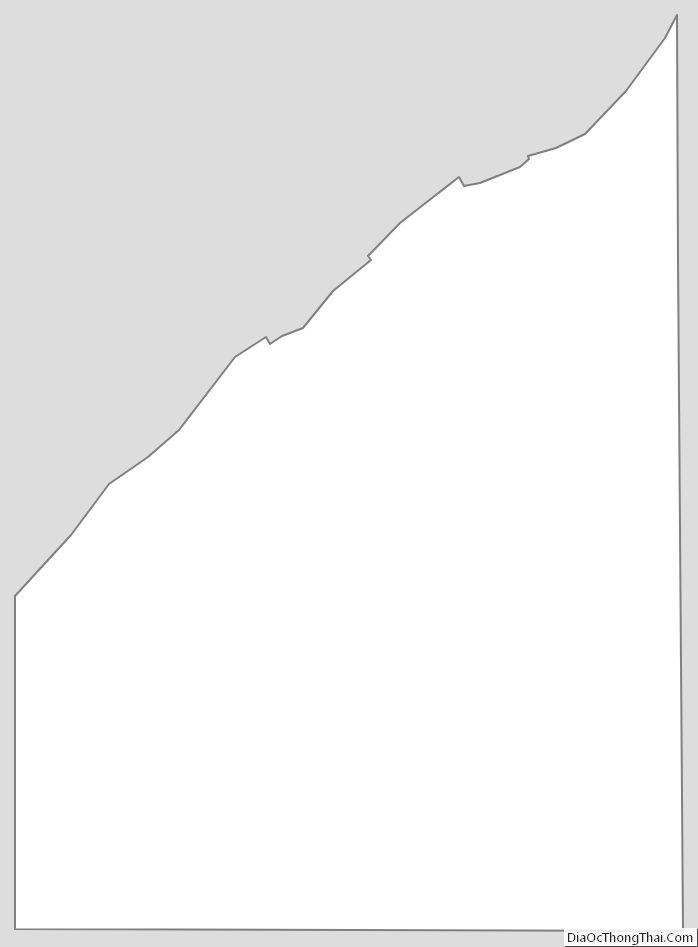
Hamilton County Outline Map
See also
Map of Nebraska State and its subdivision:- Adams
- Antelope
- Arthur
- Banner
- Blaine
- Boone
- Box Butte
- Boyd
- Brown
- Buffalo
- Burt
- Butler
- Cass
- Cedar
- Chase
- Cherry
- Cheyenne
- Clay
- Colfax
- Cuming
- Custer
- Dakota
- Dawes
- Dawson
- Deuel
- Dixon
- Dodge
- Douglas
- Dundy
- Fillmore
- Franklin
- Frontier
- Furnas
- Gage
- Garden
- Garfield
- Gosper
- Grant
- Greeley
- Hall
- Hamilton
- Harlan
- Hayes
- Hitchcock
- Holt
- Hooker
- Howard
- Jefferson
- Johnson
- Kearney
- Keith
- Keya Paha
- Kimball
- Knox
- Lancaster
- Lincoln
- Logan
- Loup
- Madison
- McPherson
- Merrick
- Morrill
- Nance
- Nemaha
- Nuckolls
- Otoe
- Pawnee
- Perkins
- Phelps
- Pierce
- Platte
- Polk
- Red Willow
- Richardson
- Rock
- Saline
- Sarpy
- Saunders
- Scotts Bluff
- Seward
- Sheridan
- Sherman
- Sioux
- Stanton
- Thayer
- Thomas
- Thurston
- Valley
- Washington
- Wayne
- Webster
- Wheeler
- York
- Alabama
- Alaska
- Arizona
- Arkansas
- California
- Colorado
- Connecticut
- Delaware
- District of Columbia
- Florida
- Georgia
- Hawaii
- Idaho
- Illinois
- Indiana
- Iowa
- Kansas
- Kentucky
- Louisiana
- Maine
- Maryland
- Massachusetts
- Michigan
- Minnesota
- Mississippi
- Missouri
- Montana
- Nebraska
- Nevada
- New Hampshire
- New Jersey
- New Mexico
- New York
- North Carolina
- North Dakota
- Ohio
- Oklahoma
- Oregon
- Pennsylvania
- Rhode Island
- South Carolina
- South Dakota
- Tennessee
- Texas
- Utah
- Vermont
- Virginia
- Washington
- West Virginia
- Wisconsin
- Wyoming