Holmes County is a county located in the U.S. state of Ohio. As of the 2020 census, the population was 44,223. Its county seat is Millersburg. The county was formed in 1824 from portions of Coshocton, Tuscarawas and Wayne counties and organized the following year. It was named after Andrew Holmes, an officer killed in the War of 1812.
Holmes County, which was about 42% Amish in 2010, and 48% in 2020, has the highest concentration of Amish in the world, which draws many visitors to the county. The Holmes Amish settlement (which also includes Amish from the neighbouring counties, such as: Wayne, Coshocton, Tuscarawas and Stark) is the second biggest one in the world (after the Lancaster County, Pennsylvania) and numbered 37,770 people in 2021.
| Name: | Holmes County |
|---|---|
| FIPS code: | 39-075 |
| State: | Ohio |
| Founded: | January 4, 1825 |
| Named for: | Andrew Holmes |
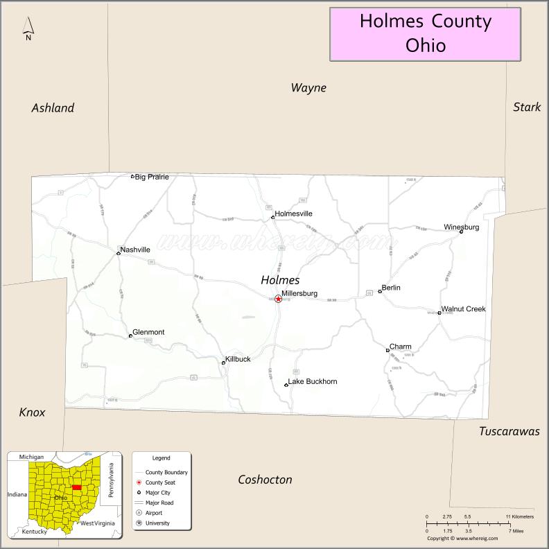
| Seat: | Millersburg |
| Total Area: | 424 sq mi (1,100 km²) |
| Land Area: | 423 sq mi (1,100 km²) |
| Total Population: | 44,223 |
| Population Density: | 100/sq mi (40/km²) |
| Time zone: | UTC−5 (Eastern) |
| Summer Time Zone (DST): | UTC−4 (EDT) |
| Website: | www.co.holmes.oh.us |
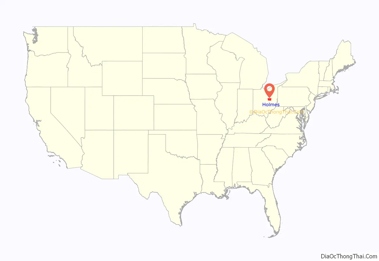
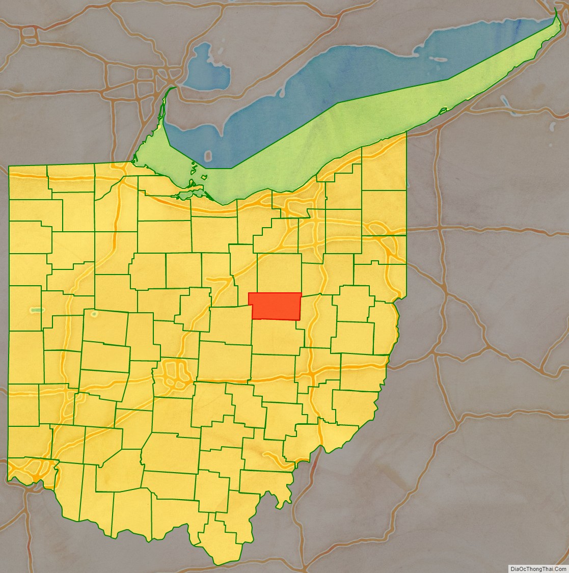
Holmes County location map. Where is Holmes County?
History
Holmes County was formed on January 20, 1824, from portions of Coshocton, Tuscarawas and Wayne counties. It was named after Major Andrew Holmes, a fatal casualty in the Battle of Mackinac Island.
In 1863, during the Civil War, numerous small anti-draft riots took place, mainly in the German-speaking areas. Holmes County at the time was a Democratic stronghold, dominated by its Pennsylvania Dutch settlers, along with many recent German immigrants. With the passage of the Conscription Act in March 1863, Holmes County politicians denounced both Congress and President Lincoln as despotic, saying that forced military service was little different from slavery. Conscription had been common in their former German homelands, and it was one of the reasons they had moved to America. Violent protests broke out in June, and they continued until the Union Army marched into the county and declared martial law. Stephen E. Towne in 2019 using archival records argues that many of the resisters belonged to secret organizations that opposed Union tactics to defeat the Confederacy.
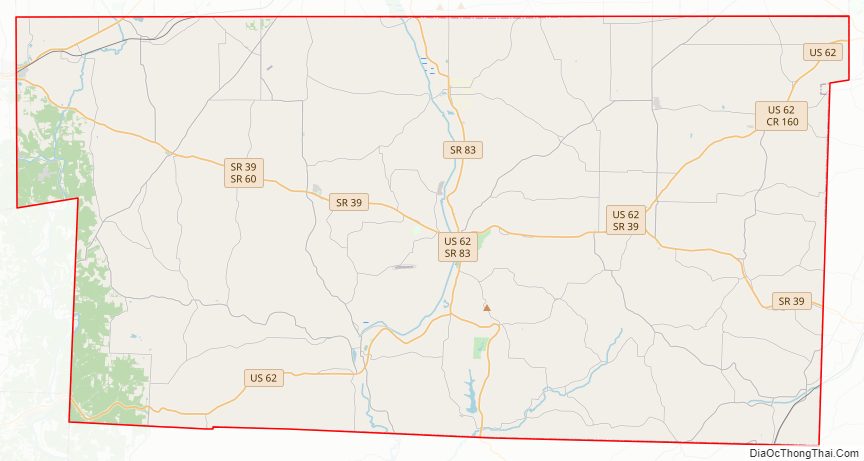
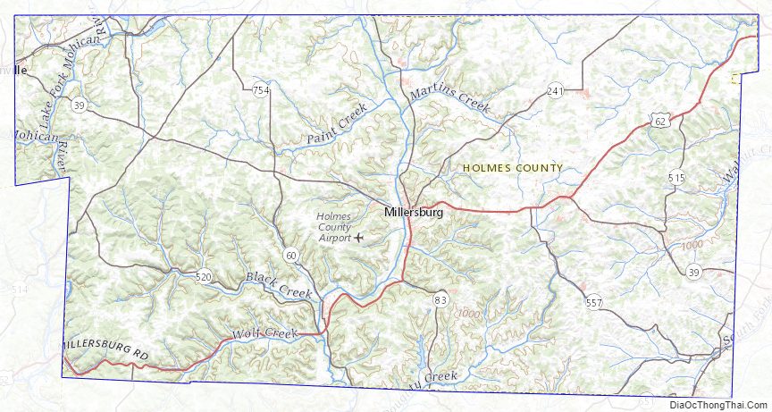
Holmes County Road Map
Geography
According to the U.S. Census Bureau, the county has a total area of 424 square miles (1,100 km), of which 423 square miles (1,100 km) is land and 1.4 square miles (3.6 km) (0.3%) is water.
Adjacent counties
- Wayne County (north)
- Stark County (northeast)
- Tuscarawas County (east)
- Coshocton County (south)
- Knox County (southwest)
- Ashland County (northwest)
Holmes County Topographic Map
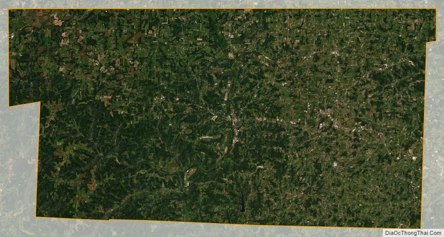
Holmes County Satellite Map
Holmes County Outline Map

See also
Map of Ohio State and its subdivision:- Adams
- Allen
- Ashland
- Ashtabula
- Athens
- Auglaize
- Belmont
- Brown
- Butler
- Carroll
- Champaign
- Clark
- Clermont
- Clinton
- Columbiana
- Coshocton
- Crawford
- Cuyahoga
- Darke
- Defiance
- Delaware
- Erie
- Fairfield
- Fayette
- Franklin
- Fulton
- Gallia
- Geauga
- Greene
- Guernsey
- Hamilton
- Hancock
- Hardin
- Harrison
- Henry
- Highland
- Hocking
- Holmes
- Huron
- Jackson
- Jefferson
- Knox
- Lake
- Lake Erie
- Lawrence
- Licking
- Logan
- Lorain
- Lucas
- Madison
- Mahoning
- Marion
- Medina
- Meigs
- Mercer
- Miami
- Monroe
- Montgomery
- Morgan
- Morrow
- Muskingum
- Noble
- Ottawa
- Paulding
- Perry
- Pickaway
- Pike
- Portage
- Preble
- Putnam
- Richland
- Ross
- Sandusky
- Scioto
- Seneca
- Shelby
- Stark
- Summit
- Trumbull
- Tuscarawas
- Union
- Van Wert
- Vinton
- Warren
- Washington
- Wayne
- Williams
- Wood
- Wyandot
- Alabama
- Alaska
- Arizona
- Arkansas
- California
- Colorado
- Connecticut
- Delaware
- District of Columbia
- Florida
- Georgia
- Hawaii
- Idaho
- Illinois
- Indiana
- Iowa
- Kansas
- Kentucky
- Louisiana
- Maine
- Maryland
- Massachusetts
- Michigan
- Minnesota
- Mississippi
- Missouri
- Montana
- Nebraska
- Nevada
- New Hampshire
- New Jersey
- New Mexico
- New York
- North Carolina
- North Dakota
- Ohio
- Oklahoma
- Oregon
- Pennsylvania
- Rhode Island
- South Carolina
- South Dakota
- Tennessee
- Texas
- Utah
- Vermont
- Virginia
- Washington
- West Virginia
- Wisconsin
- Wyoming