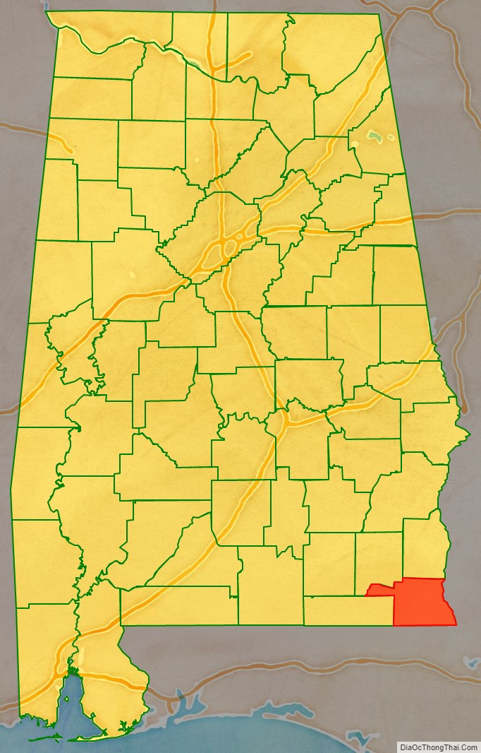
Houston County is a county located in the southeastern corner of the U.S. state of Alabama. As of the 2020 census the population was 107,202. Its county seat is Dothan, which is located on the border and partially in adjacent Henry County.
Houston County is part of the Dothan, Alabama metropolitan area.
| Name: | Houston County |
|---|---|
| FIPS code: | 01-069 |
| State: | Alabama |
| Founded: | February 9, 1903 |
| Named for: | George S. Houston |
| Seat: | Dothan |
| Largest city: | Dothan |
| Total Area: | 582 sq mi (1,510 km²) |
| Land Area: | 580 sq mi (1,500 km²) |
| Total Population: | 107,202 |
| Population Density: | 180/sq mi (71/km²) |
| Time zone: | UTC−6 (Central) |
| Summer Time Zone (DST): | UTC−5 (CDT) |
| Website: | houstoncountyal.gov |
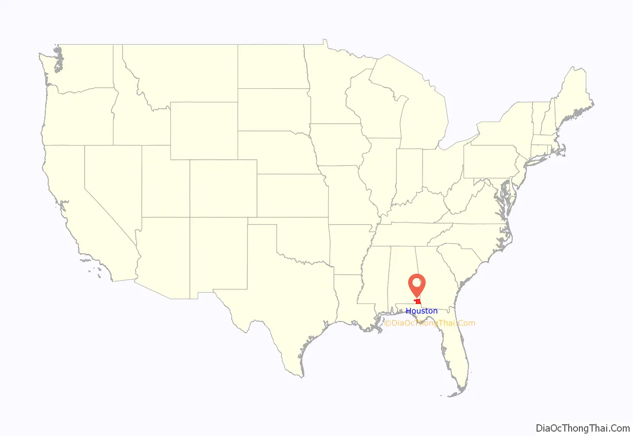
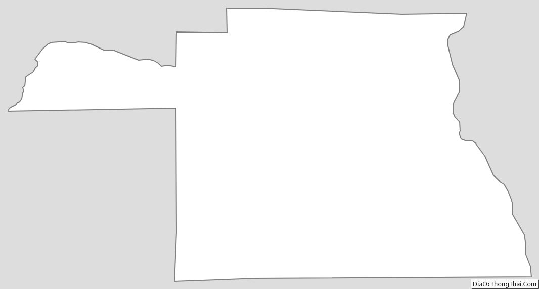
Houston County location map. Where is Houston County?
History
Houston County was established on February 9, 1903, from parts of Dale, Geneva, and Henry counties. It was named after George Smith Houston, the 24th Governor of Alabama. This area of the state was historically developed for the pine timber and turpentine industries, as well as cotton plantations. The latter, especially, depended on enslaved African Americans for labor.
Because of this history, African Americans predominated in the population until after the early 20th century, when many migrated to northern and midwestern cities for better economic opportunities and to escape Jim Crow discrimination. They were essentially disenfranchised after the turn of the 20th century because of constitutional amendments and other laws that made voter registration nearly impossible. Many poor whites were disenfranchised at the same time.
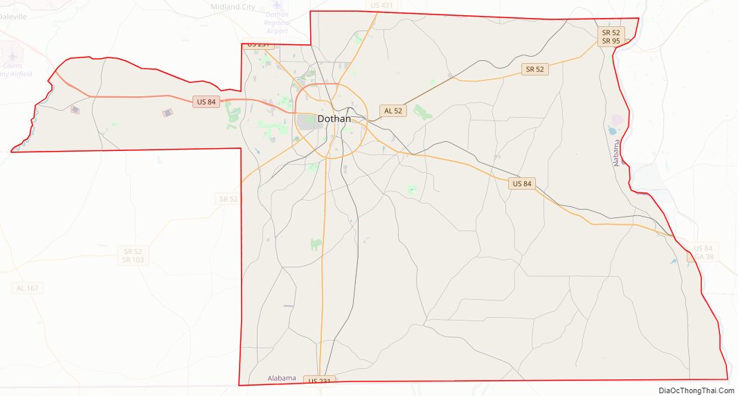
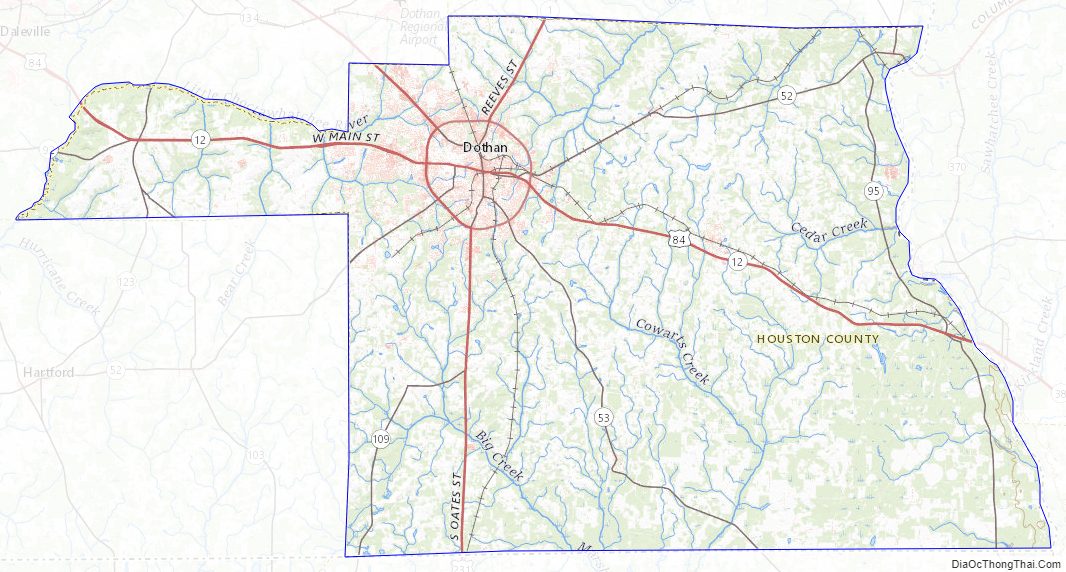
Houston County Road Map
Geography
According to the United States Census Bureau, the county has a total area of 582 square miles (1,510 km), of which 580 square miles (1,500 km) is land and 1.8 square miles (4.7 km) (0.3%) is water. The county is located in the Wiregrass region of southeast Alabama.
Major highways
- US 84
- US 231
- US 431
- SR 52
- SR 53
- SR 92
- SR 95
- SR 103
- SR 123
- SR 134
- SR 210
- SR 605
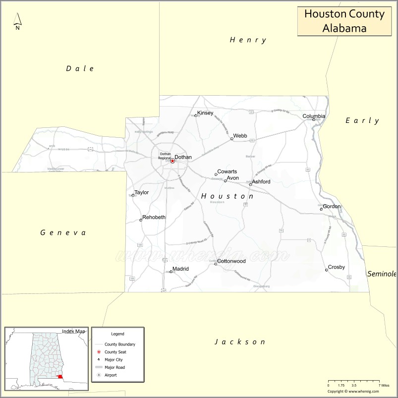
Adjacent counties
- Henry County (north)
- Early County, Georgia (east)
- Seminole County, Georgia (southeast)
- Jackson County, Florida (south)
- Geneva County (west)
- Dale County (northwest)
Houston County Topographic Map
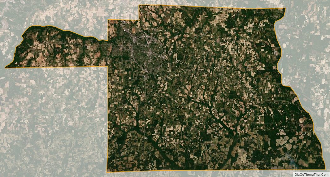
Houston County Satellite Map
Houston County Outline Map
See also
Map of Alabama State and its subdivision:- Autauga
- Baldwin
- Barbour
- Bibb
- Blount
- Bullock
- Butler
- Calhoun
- Chambers
- Cherokee
- Chilton
- Choctaw
- Clarke
- Clay
- Cleburne
- Coffee
- Colbert
- Conecuh
- Coosa
- Covington
- Crenshaw
- Cullman
- Dale
- Dallas
- De Kalb
- Elmore
- Escambia
- Etowah
- Fayette
- Franklin
- Geneva
- Greene
- Hale
- Henry
- Houston
- Jackson
- Jefferson
- Lamar
- Lauderdale
- Lawrence
- Lee
- Limestone
- Lowndes
- Macon
- Madison
- Marengo
- Marion
- Marshall
- Mobile
- Monroe
- Montgomery
- Morgan
- Perry
- Pickens
- Pike
- Randolph
- Russell
- Saint Clair
- Shelby
- Sumter
- Talladega
- Tallapoosa
- Tuscaloosa
- Walker
- Washington
- Wilcox
- Winston
- Alabama
- Alaska
- Arizona
- Arkansas
- California
- Colorado
- Connecticut
- Delaware
- District of Columbia
- Florida
- Georgia
- Hawaii
- Idaho
- Illinois
- Indiana
- Iowa
- Kansas
- Kentucky
- Louisiana
- Maine
- Maryland
- Massachusetts
- Michigan
- Minnesota
- Mississippi
- Missouri
- Montana
- Nebraska
- Nevada
- New Hampshire
- New Jersey
- New Mexico
- New York
- North Carolina
- North Dakota
- Ohio
- Oklahoma
- Oregon
- Pennsylvania
- Rhode Island
- South Carolina
- South Dakota
- Tennessee
- Texas
- Utah
- Vermont
- Virginia
- Washington
- West Virginia
- Wisconsin
- Wyoming