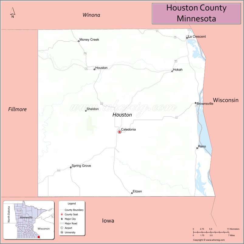
Houston County is a county in the U.S. state of Minnesota. At the 2020 census, the population was 18,843. Its county seat is Caledonia.
Houston County is included in the La Crosse–Onalaska metropolitan statistical area.
| Name: | Houston County |
|---|---|
| FIPS code: | 27-055 |
| State: | Minnesota |
| Founded: | 1854 |
| Named for: | Sam Houston |
| Seat: | Caledonia |
| Largest city: | La Crescent |
| Total Area: | 569 sq mi (1,470 km²) |
| Land Area: | 552 sq mi (1,430 km²) |
| Total Population: | 18,843 |
| Population Density: | 34.1/sq mi (13.2/km²) |
| Time zone: | UTC−6 (Central) |
| Summer Time Zone (DST): | UTC−5 (CDT) |
| Website: | co.houston.mn.us |
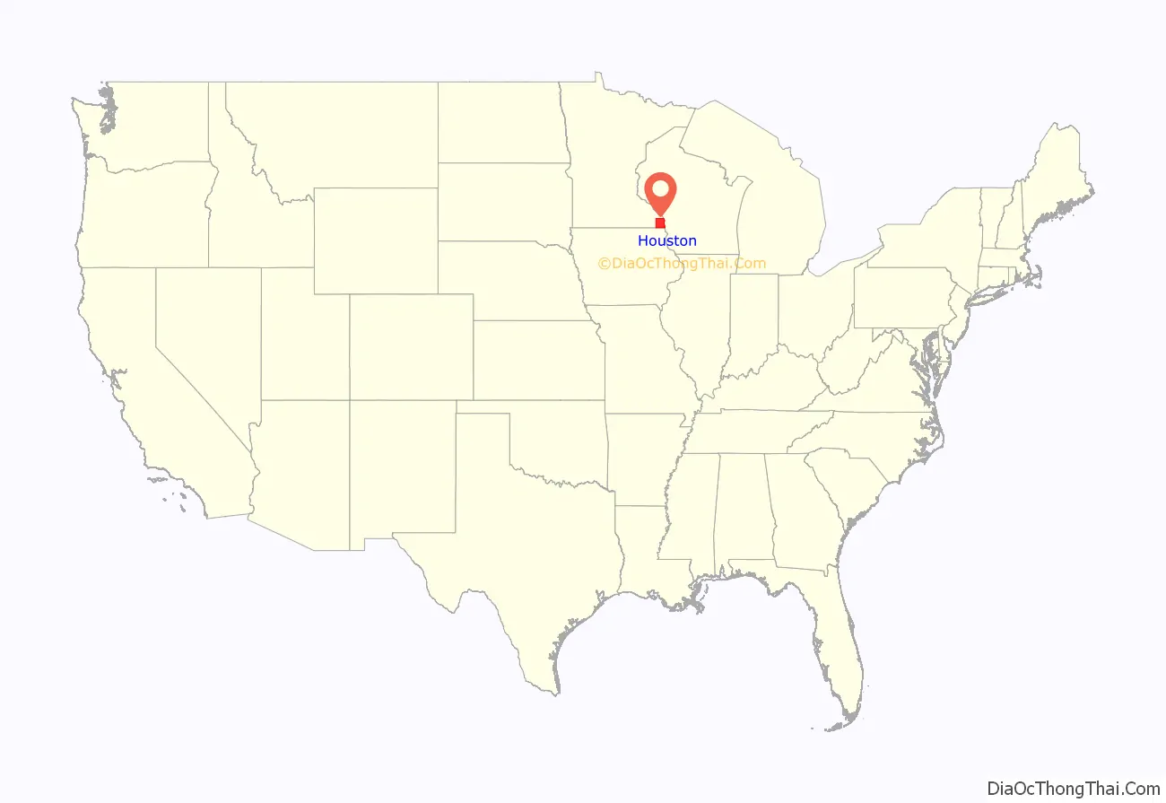
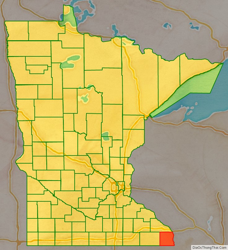
Houston County location map. Where is Houston County?
History
The area covered by today’s Houston County was first organized as St. Croix County, of the Wisconsin Territory, in 1839. On October 27, 1849, part of that county was partitioned off to create Wabashaw County of the Minnesota Territory. On February 23, 1854, the territorial legislature authorized the partitioning of sections of Wabashaw to create Fillmore County and Houston County. An election on April 4, 1854, allowed the county government to be completed. The county was named for Sam Houston, who had been president of the Republic of Texas and a US senator from Texas. The village of Houston was the first county seat. Then a land speculator made an effort to move the seat to Caledonia, and in 1855 the county board moved the county records to Caledonia, which became the de facto seat, and eventually the legal seat after several county votes. In 1855 the records were stored in the cabin of Commissioner Samuel McPhail; the first court hearings were held in that cabin, and a one-story courthouse and jail was built in Caledonia in 1857. A two-story building was built in Caledonia in 1867, and several referendums made Caledonia the county seat by 1874. From that point on, Caledonia prospered and Houston slowly declined. The only other area of prominence was La Crescent, which benefited from its connection to La Crosse, Wisconsin.
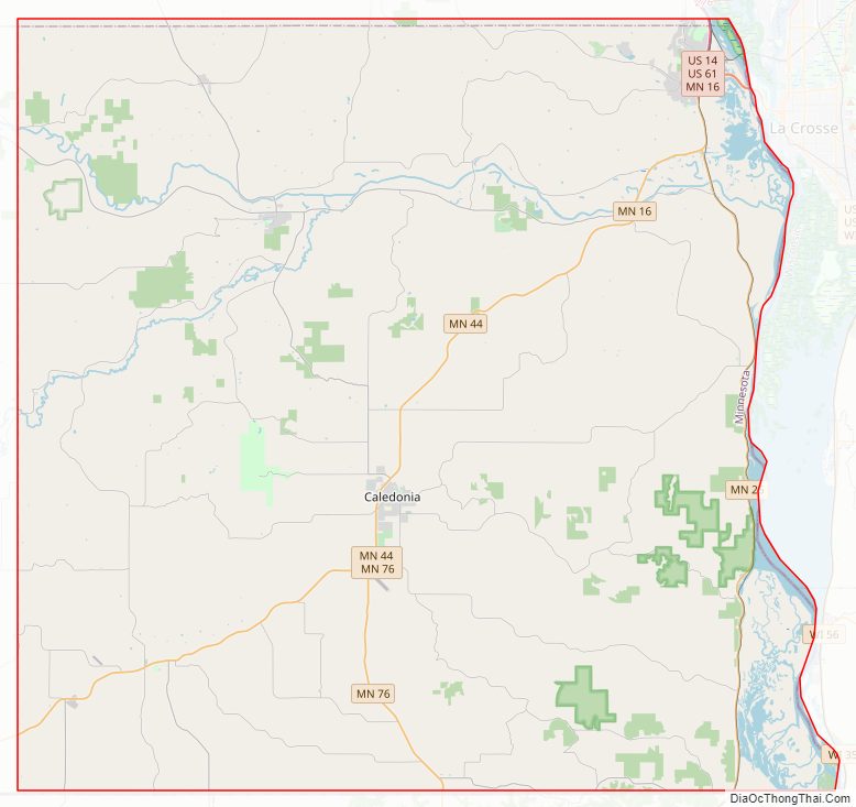
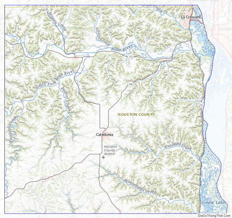
Houston County Road Map
Geography
Houston County is at Minnesota’s southeast corner. Its eastern border abuts Wisconsin (across the Mississippi River) and its southern border abuts Iowa. The Mississippi flows south-southeast along its eastern border. The Root River flows east through the northern part of the county, discharging into the Mississippi. Pine Creek flows east-southeast through the northeastern part of the county to discharge into the Mississippi, while Crooked Creek flows east across the southern part of the county to discharge into the Mississippi. The county’s terrain consists of low rolling hills on its western end, transitioning to hills carved with drainages toward the east. The central and western portion of the county is a plateau with its highest point at 1,273′ (388m) ASL, near its southwest corner. The county has a total area of 569 square miles (1,470 km), of which 552 square miles (1,430 km) is land and 17 square miles (44 km) (2.9%) is water.
The county is in the Driftless Zone, marked by the absence of glacial drift and presence of bedrock cut by streams into steep hills. The plateau that surrounds Caledonia includes flat, fertile farm land and hilly, verdant pasture land.
Lakes
The Upper Mississippi River National Wildlife and Fish Refuge runs along the county’s eastern border. Four lakes in the refuge fall within the county:
- Blue Lake
- Hayshore Lake
- Lawrence Lake
- Target Lake
Adjacent counties
- Winona County – north
- La Crosse County, Wisconsin – northeast
- Vernon County, Wisconsin – east
- Allamakee County, Iowa – south
- Winneshiek County, Iowa – southwest
- Fillmore County – west
Protected areas
- Beaver Creek Valley State Park
- Mound Prairie Scientific and Natural Area
- Upper Mississippi River National Wildlife and Fish Refuge (part)
Houston County Topographic Map
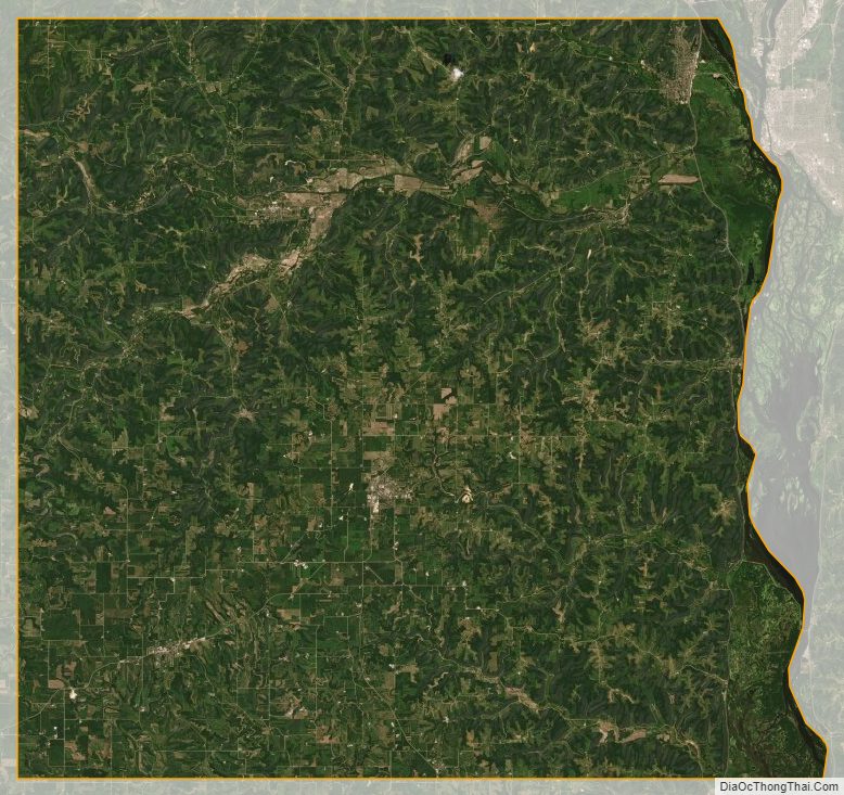
Houston County Satellite Map
Houston County Outline Map

See also
Map of Minnesota State and its subdivision:- Aitkin
- Anoka
- Becker
- Beltrami
- Benton
- Big Stone
- Blue Earth
- Brown
- Carlton
- Carver
- Cass
- Chippewa
- Chisago
- Clay
- Clearwater
- Cook
- Cottonwood
- Crow Wing
- Dakota
- Dodge
- Douglas
- Faribault
- Fillmore
- Freeborn
- Goodhue
- Grant
- Hennepin
- Houston
- Hubbard
- Isanti
- Itasca
- Jackson
- Kanabec
- Kandiyohi
- Kittson
- Koochiching
- Lac qui Parle
- Lake
- Lake of the Woods
- Lake Superior
- Le Sueur
- Lincoln
- Lyon
- Mahnomen
- Marshall
- Martin
- McLeod
- Meeker
- Mille Lacs
- Morrison
- Mower
- Murray
- Nicollet
- Nobles
- Norman
- Olmsted
- Otter Tail
- Pennington
- Pine
- Pipestone
- Polk
- Pope
- Ramsey
- Red Lake
- Redwood
- Renville
- Rice
- Rock
- Roseau
- Saint Louis
- Scott
- Sherburne
- Sibley
- Stearns
- Steele
- Stevens
- Swift
- Todd
- Traverse
- Wabasha
- Wadena
- Waseca
- Washington
- Watonwan
- Wilkin
- Winona
- Wright
- Yellow Medicine
- Alabama
- Alaska
- Arizona
- Arkansas
- California
- Colorado
- Connecticut
- Delaware
- District of Columbia
- Florida
- Georgia
- Hawaii
- Idaho
- Illinois
- Indiana
- Iowa
- Kansas
- Kentucky
- Louisiana
- Maine
- Maryland
- Massachusetts
- Michigan
- Minnesota
- Mississippi
- Missouri
- Montana
- Nebraska
- Nevada
- New Hampshire
- New Jersey
- New Mexico
- New York
- North Carolina
- North Dakota
- Ohio
- Oklahoma
- Oregon
- Pennsylvania
- Rhode Island
- South Carolina
- South Dakota
- Tennessee
- Texas
- Utah
- Vermont
- Virginia
- Washington
- West Virginia
- Wisconsin
- Wyoming